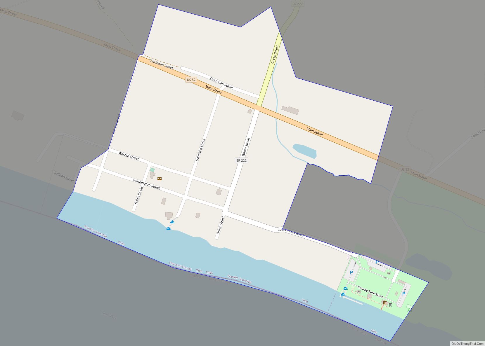
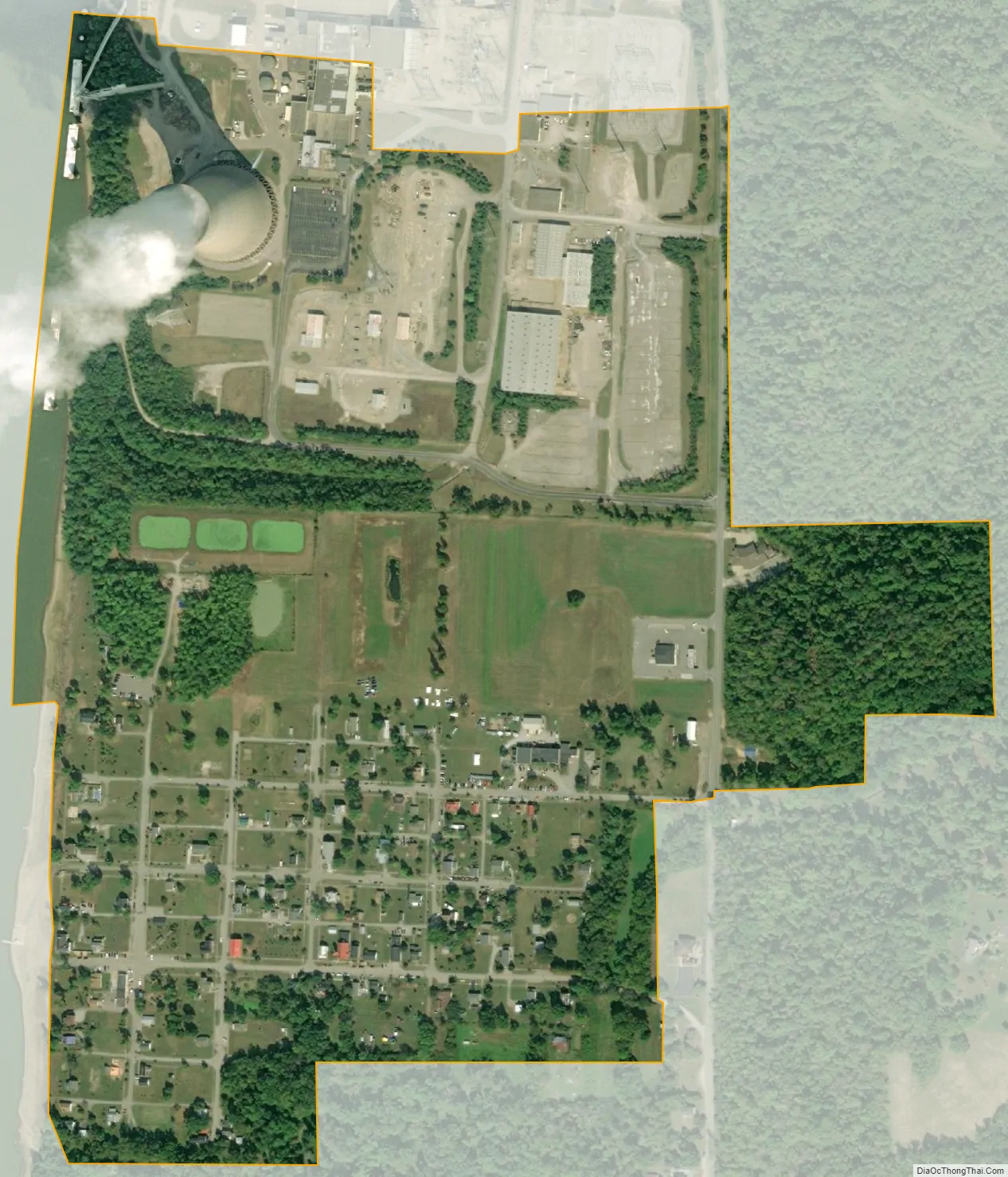
Moscow is a village in Clermont County, Ohio. The population was 155 at the time of the 2020 census. The William H. Zimmer Power Station, a coal-fired power plant was converted from a planned nuclear power plant during construction. It is partially located within village limits. It is located near the Ulysses S. Grant Birthplace.
| Name: | Moscow village |
|---|---|
| LSAD Code: | 47 |
| LSAD Description: | village (suffix) |
| State: | Ohio |
| County: | Clermont County |
| Elevation: | 499 ft (152 m) |
| Total Area: | 0.39 sq mi (1.01 km²) |
| Land Area: | 0.37 sq mi (0.95 km²) |
| Water Area: | 0.02 sq mi (0.06 km²) |
| Total Population: | 155 |
| Population Density: | 422.34/sq mi (163.12/km²) |
| ZIP code: | 45153 |
| Area code: | 513 |
| FIPS code: | 3952416 |
| GNISfeature ID: | 1056435 |
| Website: | www.villageofmoscow.org |
Online Interactive Map
Click on ![]() to view map in "full screen" mode.
to view map in "full screen" mode.
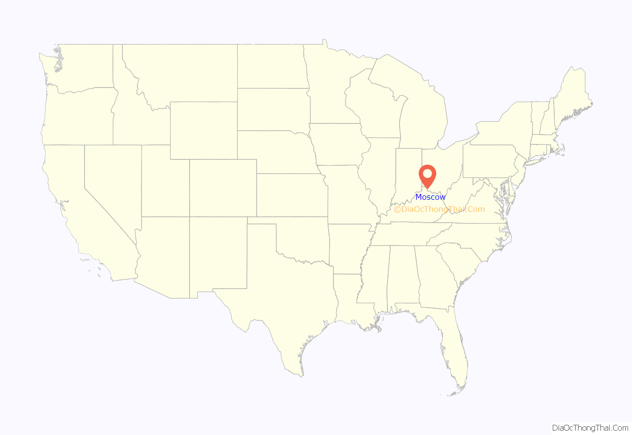
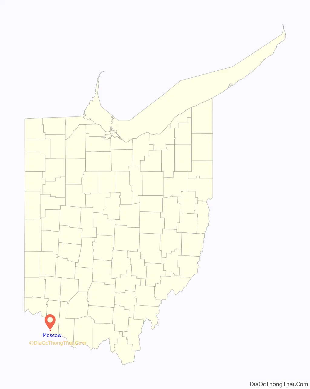
Moscow location map. Where is Moscow village?
History
Moscow was platted in 1816. The name may have been given to the town by French immigrants who were veterans of Napoleon’s siege of Moscow. A post office called Moscow has been in operation since 1826.
William J. Bulow, a U.S. Senator from South Dakota and Governor of South Dakota, was born in Moscow in 1869 and attended local schools.
On March 2, 2012, a tornado destroyed over 80% of the town and caused three deaths, as multiple tornadoes ripped through Indiana, Kentucky and Ohio.
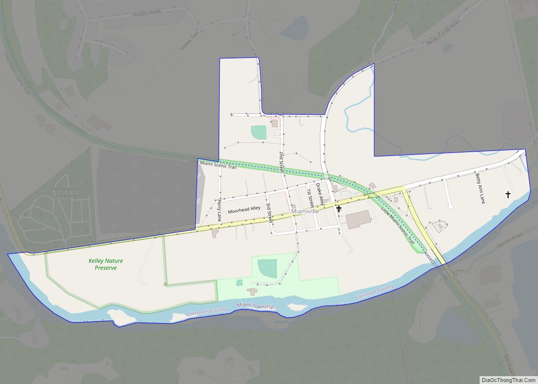
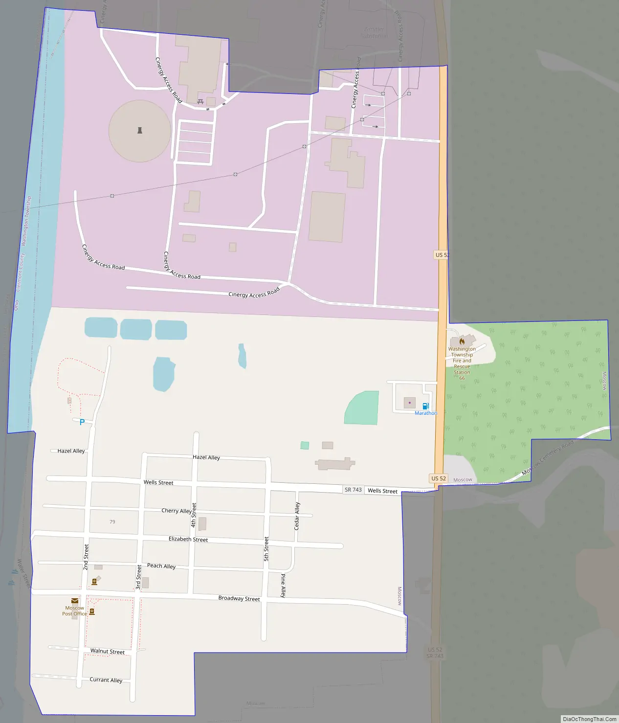
Moscow Road Map
Moscow city Satellite Map
Geography
Moscow is located at 38°51′26″N 84°13′43″W / 38.85722°N 84.22861°W / 38.85722; -84.22861 (38.857258, -84.228609), along the Ohio River.
According to the United States Census Bureau, the village has a total area of 0.39 square miles (1.01 km), of which 0.37 square miles (0.96 km) is land and 0.02 square miles (0.05 km) is water.
See also
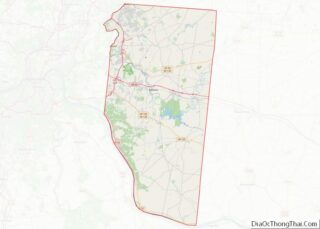
Map of Ohio State and its subdivision:- Adams
- Allen
- Ashland
- Ashtabula
- Athens
- Auglaize
- Belmont
- Brown
- Butler
- Carroll
- Champaign
- Clark
- Clermont
- Clinton
- Columbiana
- Coshocton
- Crawford
- Cuyahoga
- Darke
- Defiance
- Delaware
- Erie
- Fairfield
- Fayette
- Franklin
- Fulton
- Gallia
- Geauga
- Greene
- Guernsey
- Hamilton
- Hancock
- Hardin
- Harrison
- Henry
- Highland
- Hocking
- Holmes
- Huron
- Jackson
- Jefferson
- Knox
- Lake
- Lake Erie
- Lawrence
- Licking
- Logan
- Lorain
- Lucas
- Madison
- Mahoning
- Marion
- Medina
- Meigs
- Mercer
- Miami
- Monroe
- Montgomery
- Morgan
- Morrow
- Muskingum
- Noble
- Ottawa
- Paulding
- Perry
- Pickaway
- Pike
- Portage
- Preble
- Putnam
- Richland
- Ross
- Sandusky
- Scioto
- Seneca
- Shelby
- Stark
- Summit
- Trumbull
- Tuscarawas
- Union
- Van Wert
- Vinton
- Warren
- Washington
- Wayne
- Williams
- Wood
- Wyandot
- Alabama
- Alaska
- Arizona
- Arkansas
- California
- Colorado
- Connecticut
- Delaware
- District of Columbia
- Florida
- Georgia
- Hawaii
- Idaho
- Illinois
- Indiana
- Iowa
- Kansas
- Kentucky
- Louisiana
- Maine
- Maryland
- Massachusetts
- Michigan
- Minnesota
- Mississippi
- Missouri
- Montana
- Nebraska
- Nevada
- New Hampshire
- New Jersey
- New Mexico
- New York
- North Carolina
- North Dakota
- Ohio
- Oklahoma
- Oregon
- Pennsylvania
- Rhode Island
- South Carolina
- South Dakota
- Tennessee
- Texas
- Utah
- Vermont
- Virginia
- Washington
- West Virginia
- Wisconsin
- Wyoming