Norton is a city in southwestern Summit County, Ohio, United States, with a 4.4-acre (1.8 ha) district extending into Wayne County. The population was 11,673 at the 2020 census. It is part of the Akron metropolitan area.
| Name: | Norton city |
|---|---|
| LSAD Code: | 25 |
| LSAD Description: | city (suffix) |
| State: | Ohio |
| County: | Summit County, Wayne County |
| Elevation: | 1,066 ft (325 m) |
| Total Area: | 20.51 sq mi (53.13 km²) |
| Land Area: | 20.19 sq mi (52.28 km²) |
| Water Area: | 0.33 sq mi (0.84 km²) |
| Total Population: | 11,673 |
| Population Density: | 578.24/sq mi (223.26/km²) |
| ZIP code: | 44203 |
| Area code: | 330, 234 |
| FIPS code: | 3957260 |
| GNISfeature ID: | 1071010 |
| Website: | cityofnorton.org |
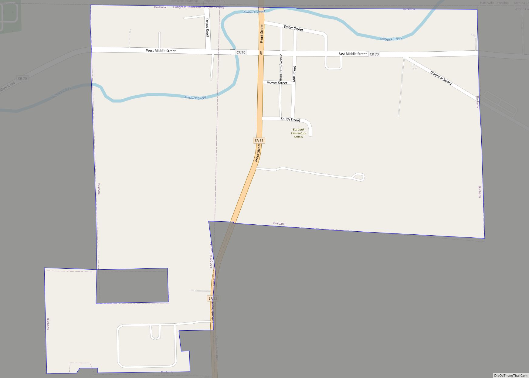
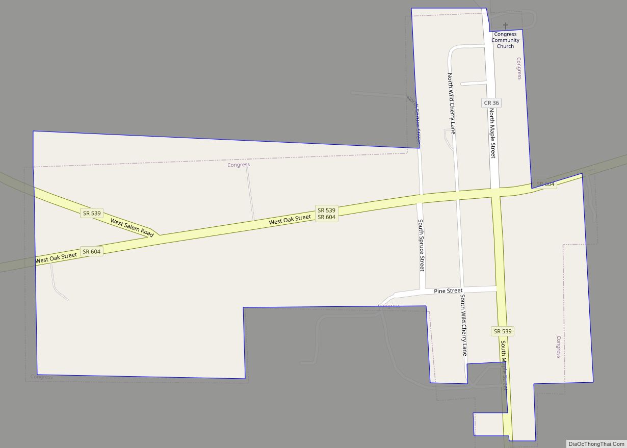
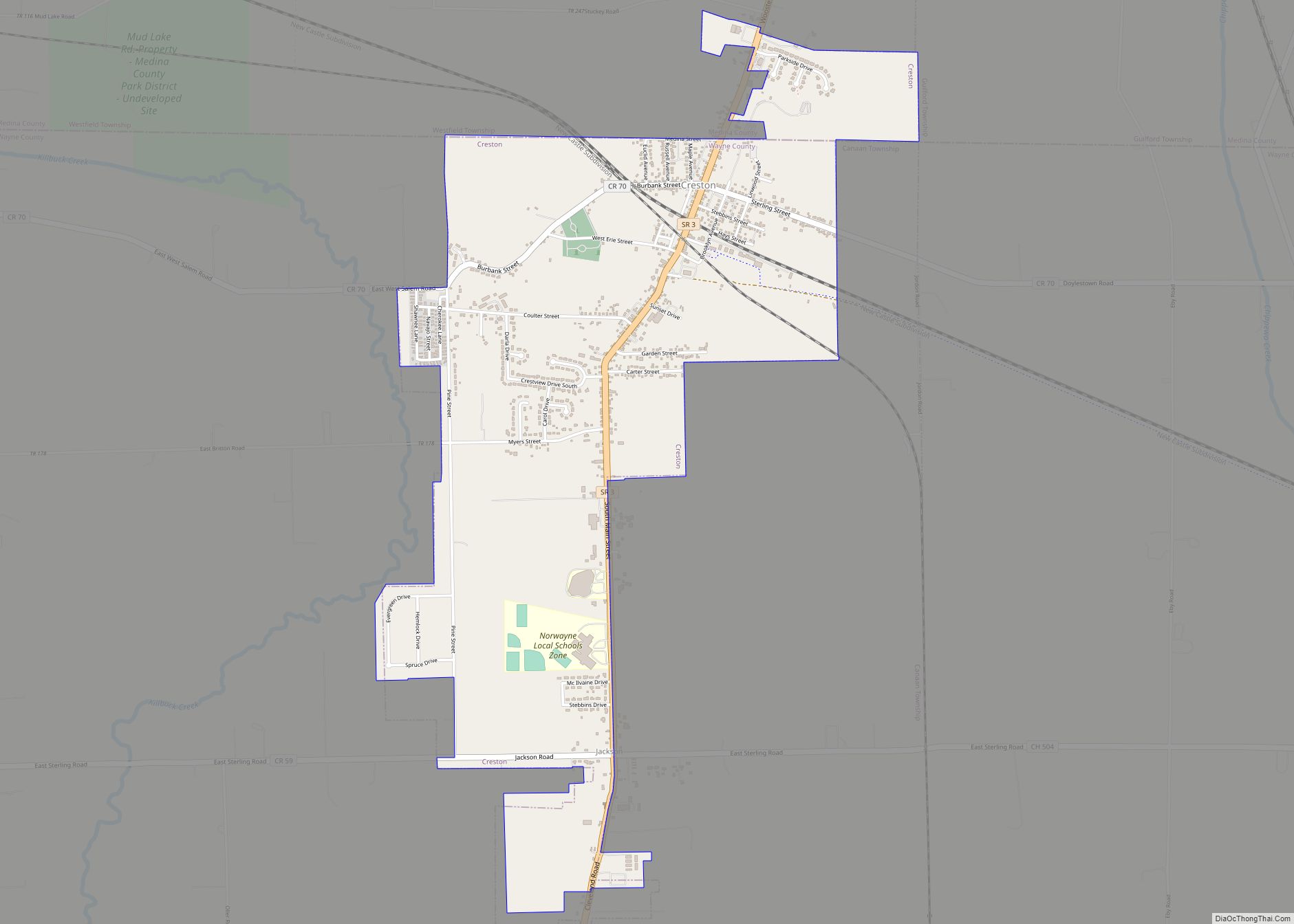
Online Interactive Map
Click on ![]() to view map in "full screen" mode.
to view map in "full screen" mode.
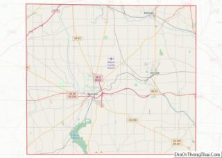
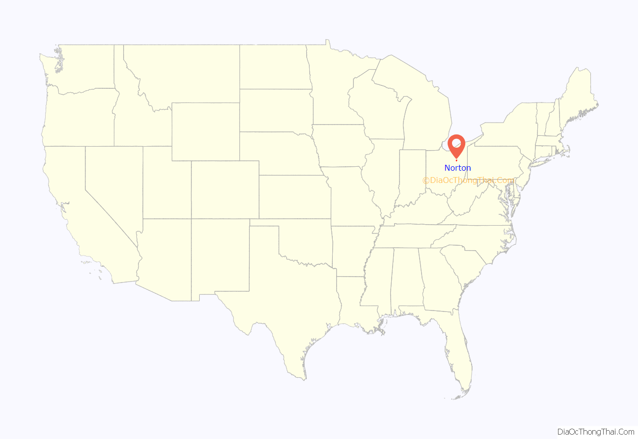
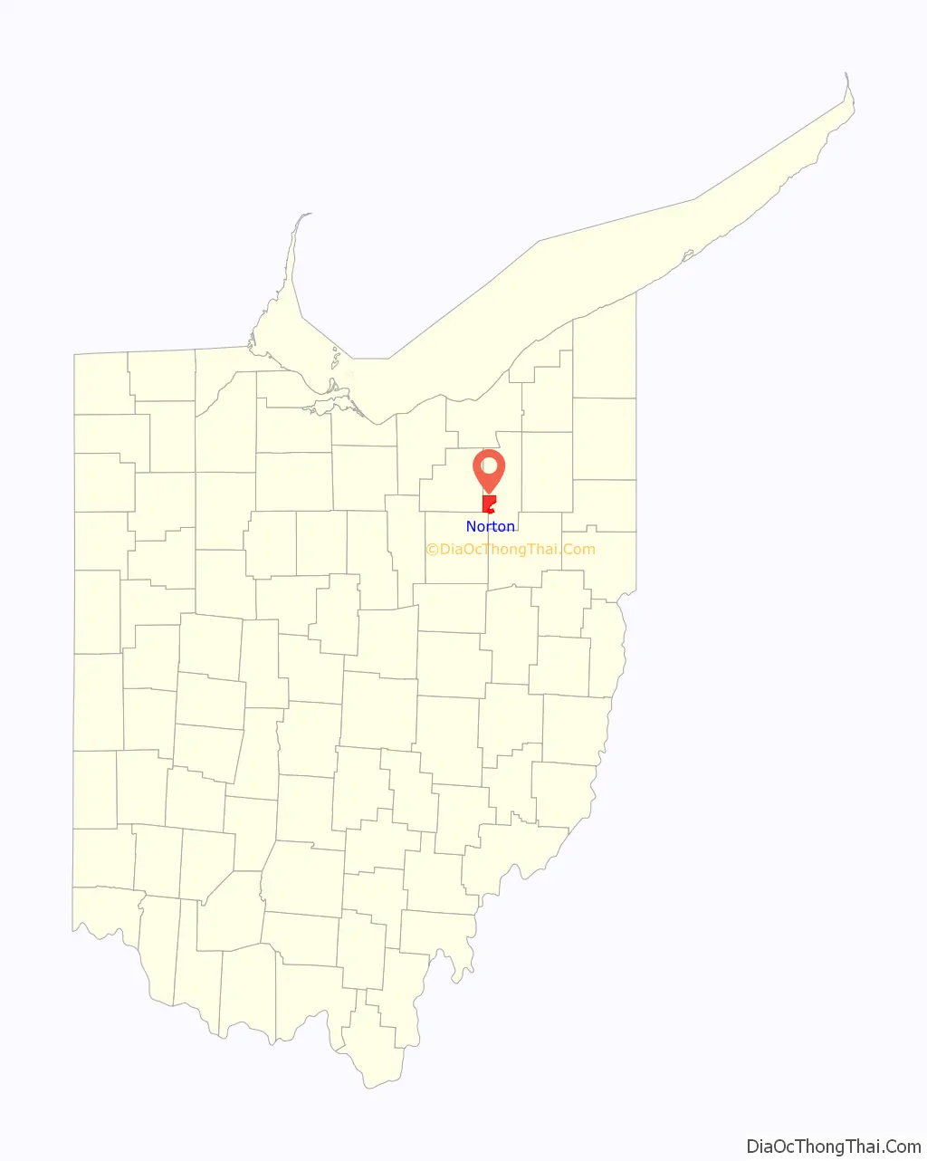
Norton location map. Where is Norton city?
History
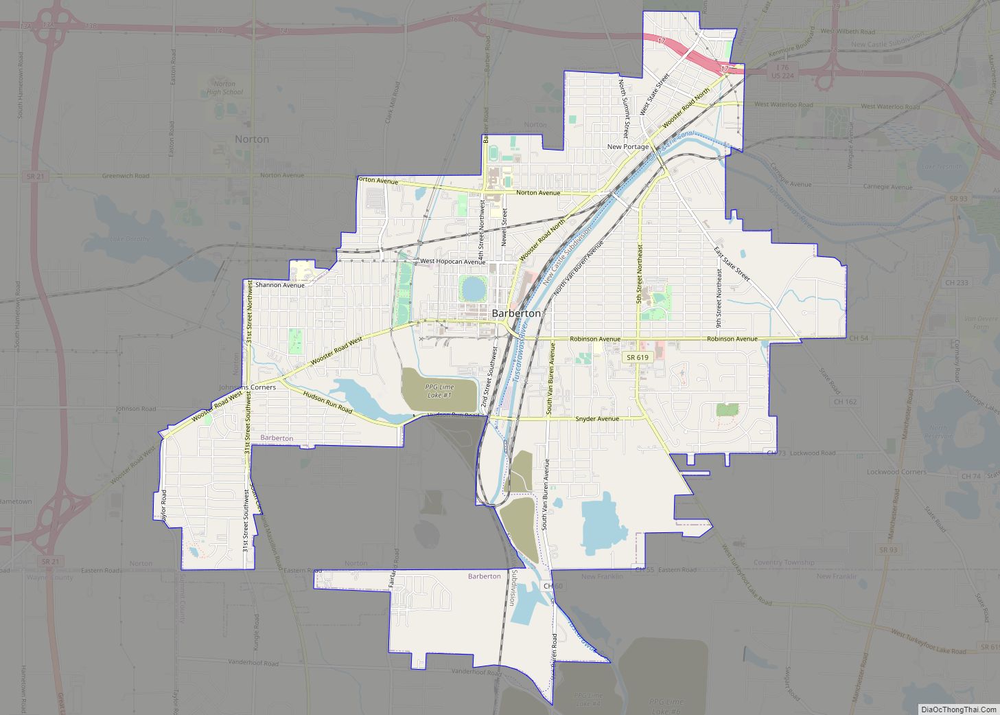
In 1818, Norton Township was organized. It was originally a part of Wolf Creek Township which consisted of present-day Norton, Copley, Wadsworth, Sharon, Guilford, and Montville townships. Norton Township was surveyed by Joseph Darrow and plotted into lots half a mile square. Norton was known as Town 1, Range 12 of the Western Reserve. It was named after Birdseye Norton, one of the original owners of the township. The first two people to settle on this land, in 1810, were James Robinson and John Cahow. Robinson purchased lot 19 and Cahow lot 20. It is a matter of some dispute as to whether Robinson’s or Cahow’s house was the first one built in the township. The first marriage in the township was in the fall of 1814 between James Robinson and Lois Bates. The first tavern was built by John Cahow on his lot 20 in 1812. The first saw and grist mills were built by Thomas Johnson in 1823 (saw) and 1830 (grist). Norton Township consisted of seven small villages: Loyal Oak (also known as Bates’ Corners, located at 261 & Cleveland-Massillon Rd), Western Star (Greenwich and Medina Line Roads), Sherman (Originally known as Dennison located at Hametown Rd & Sherman St), Johnson’s Corners (31st St and Wooster Rd W), Norton Center (Cleveland-Massillon & Greenwich Rd & Norton Ave), Hametown (Hametown and Wooster Roads), and New Portage (Wooster Rd N & Norton Ave.).
One of Norton’s famous families is the Seiberling family; Frank A. and Charles W. Seiberling started the Goodyear tire and rubber company in 1898. The Seiberling farm is still in operation today on Greenwich Road at Knollbrook Drive. In 1890, Ohio Columbus Barber, Charles Baird, Albert T. Paige and John K. Robinson purchased a number of farms adjacent to New Portage. Their purchase was for the purpose of founding a new manufacturing city. This city was named Barberton after O. C. Barber. The Ohio & Erie Canal ran through the southeastern part of the township from 1827–1913. Electric trolley lines were installed from Barberton to Wadsworth through Norton in 1905. In 1958 the Norton Township Development Committee was formed. Residents believed the Township form of government, with its three Trustees, needed a more structured form of government to effectively meet the needs of a fast-growing community. After time, an issue to incorporate as a village was placed on the election ballot. Although defeated the first time, it passed in 1961, thus incorporating Norton as a village. Norton’s first Village Mayor was Richard DuFore. The General Election of November 1968, brought Norton to a City status. The former Norton Village officially assumed City status on January 11, 1969. Norton’s current government consists of Mayor Mike Zita and council members: Doug DeHarpart, Jamie Lukens, Ben Bates, Paul Tousley, Joe Kernan, Scott Pelot, and Charlotte Whipkey.
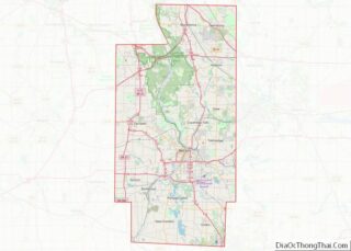
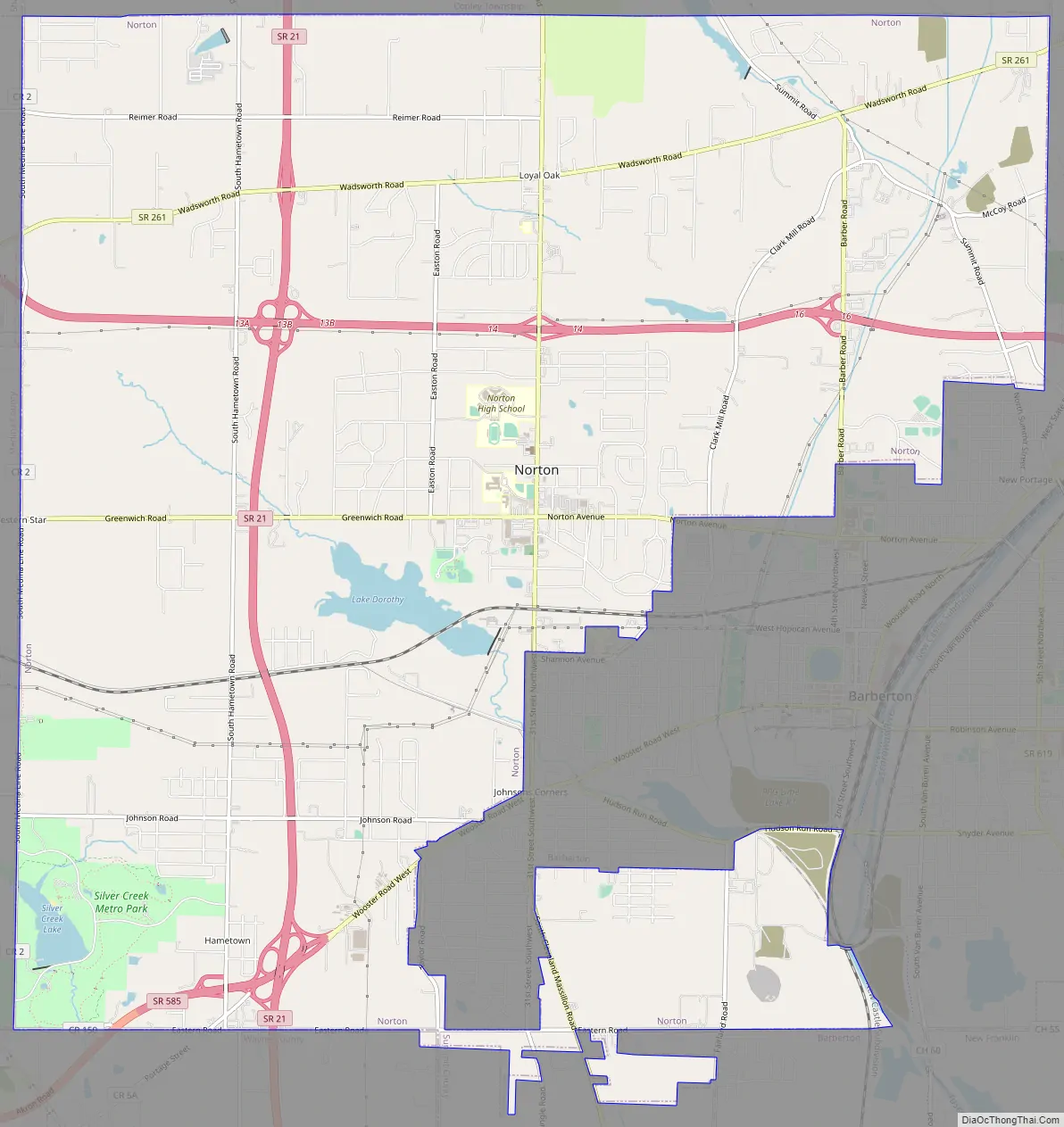
Norton Road Map
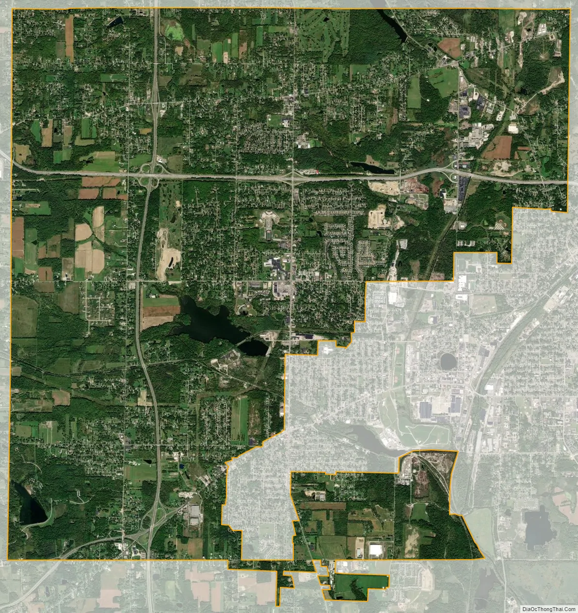
Norton city Satellite Map
Geography
Norton is located in Summit County, with a small portion containing several parcels in Wayne County.
According to the United States Census Bureau, the city has a total area of 20.49 square miles (53.07 km), of which, 20.16 square miles (52.21 km) is land and 0.33 square miles (0.85 km) is water.
See also
Map of Ohio State and its subdivision:- Adams
- Allen
- Ashland
- Ashtabula
- Athens
- Auglaize
- Belmont
- Brown
- Butler
- Carroll
- Champaign
- Clark
- Clermont
- Clinton
- Columbiana
- Coshocton
- Crawford
- Cuyahoga
- Darke
- Defiance
- Delaware
- Erie
- Fairfield
- Fayette
- Franklin
- Fulton
- Gallia
- Geauga
- Greene
- Guernsey
- Hamilton
- Hancock
- Hardin
- Harrison
- Henry
- Highland
- Hocking
- Holmes
- Huron
- Jackson
- Jefferson
- Knox
- Lake
- Lake Erie
- Lawrence
- Licking
- Logan
- Lorain
- Lucas
- Madison
- Mahoning
- Marion
- Medina
- Meigs
- Mercer
- Miami
- Monroe
- Montgomery
- Morgan
- Morrow
- Muskingum
- Noble
- Ottawa
- Paulding
- Perry
- Pickaway
- Pike
- Portage
- Preble
- Putnam
- Richland
- Ross
- Sandusky
- Scioto
- Seneca
- Shelby
- Stark
- Summit
- Trumbull
- Tuscarawas
- Union
- Van Wert
- Vinton
- Warren
- Washington
- Wayne
- Williams
- Wood
- Wyandot
- Alabama
- Alaska
- Arizona
- Arkansas
- California
- Colorado
- Connecticut
- Delaware
- District of Columbia
- Florida
- Georgia
- Hawaii
- Idaho
- Illinois
- Indiana
- Iowa
- Kansas
- Kentucky
- Louisiana
- Maine
- Maryland
- Massachusetts
- Michigan
- Minnesota
- Mississippi
- Missouri
- Montana
- Nebraska
- Nevada
- New Hampshire
- New Jersey
- New Mexico
- New York
- North Carolina
- North Dakota
- Ohio
- Oklahoma
- Oregon
- Pennsylvania
- Rhode Island
- South Carolina
- South Dakota
- Tennessee
- Texas
- Utah
- Vermont
- Virginia
- Washington
- West Virginia
- Wisconsin
- Wyoming