Dayville is a city along U.S. Route 26 in Grant County, in the U.S. state of Oregon. It was incorporated in 1913. The population was 149 at the 2010 census.
| Name: | Dayville town |
|---|---|
| LSAD Code: | 43 |
| LSAD Description: | town (suffix) |
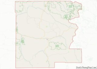
| State: | Oregon |
| County: | Grant County |
| Incorporated: | 1913 |
| Elevation: | 2,369 ft (722 m) |
| Total Area: | 0.53 sq mi (1.36 km²) |
| Land Area: | 0.53 sq mi (1.36 km²) |
| Water Area: | 0.00 sq mi (0.00 km²) |
| Total Population: | 132 |
| Population Density: | 250.95/sq mi (96.96/km²) |
| ZIP code: | 97825 |
| Area code: | 541 |
| FIPS code: | 4118300 |
| GNISfeature ID: | 1140680 |
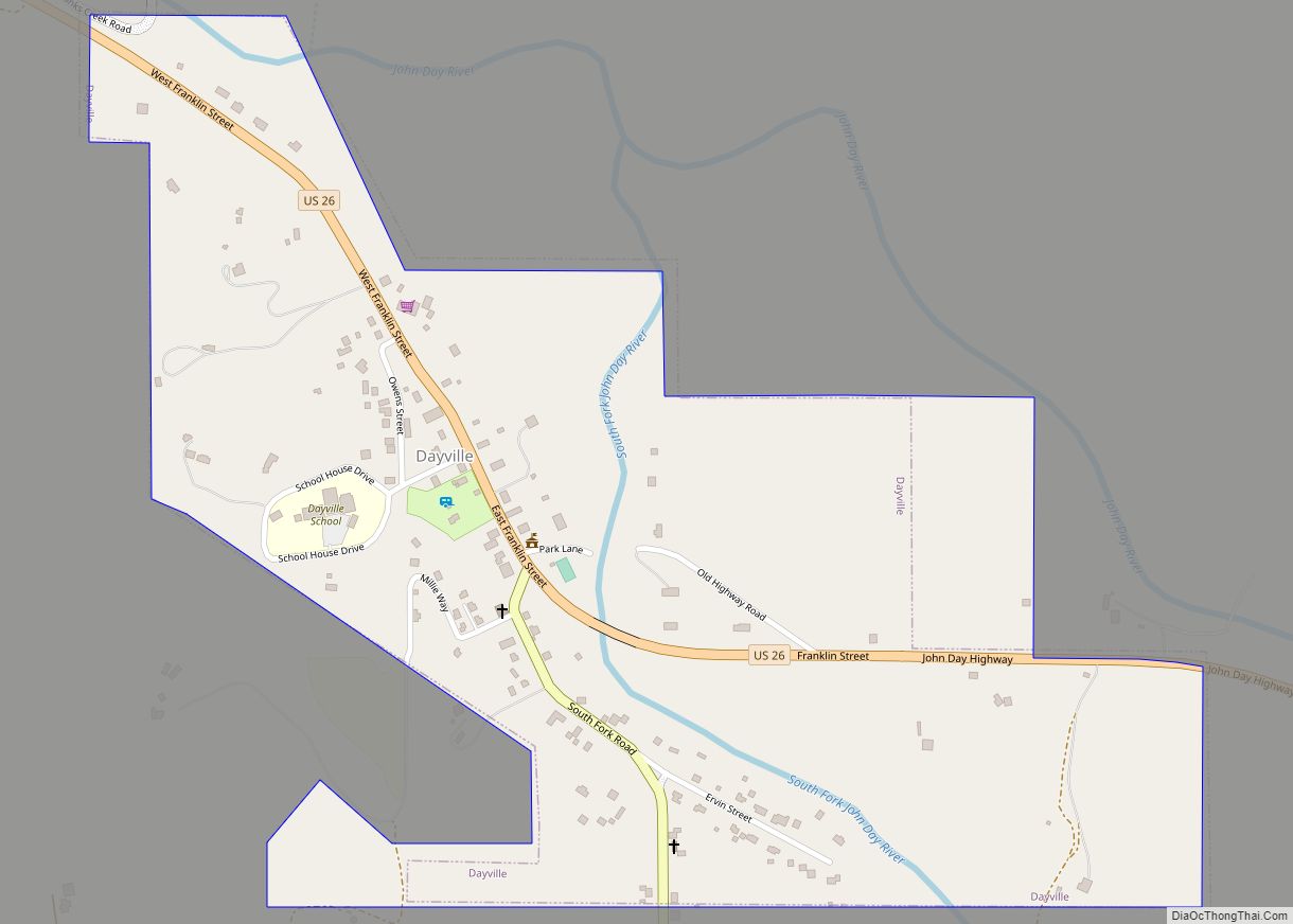
Online Interactive Map
Click on ![]() to view map in "full screen" mode.
to view map in "full screen" mode.
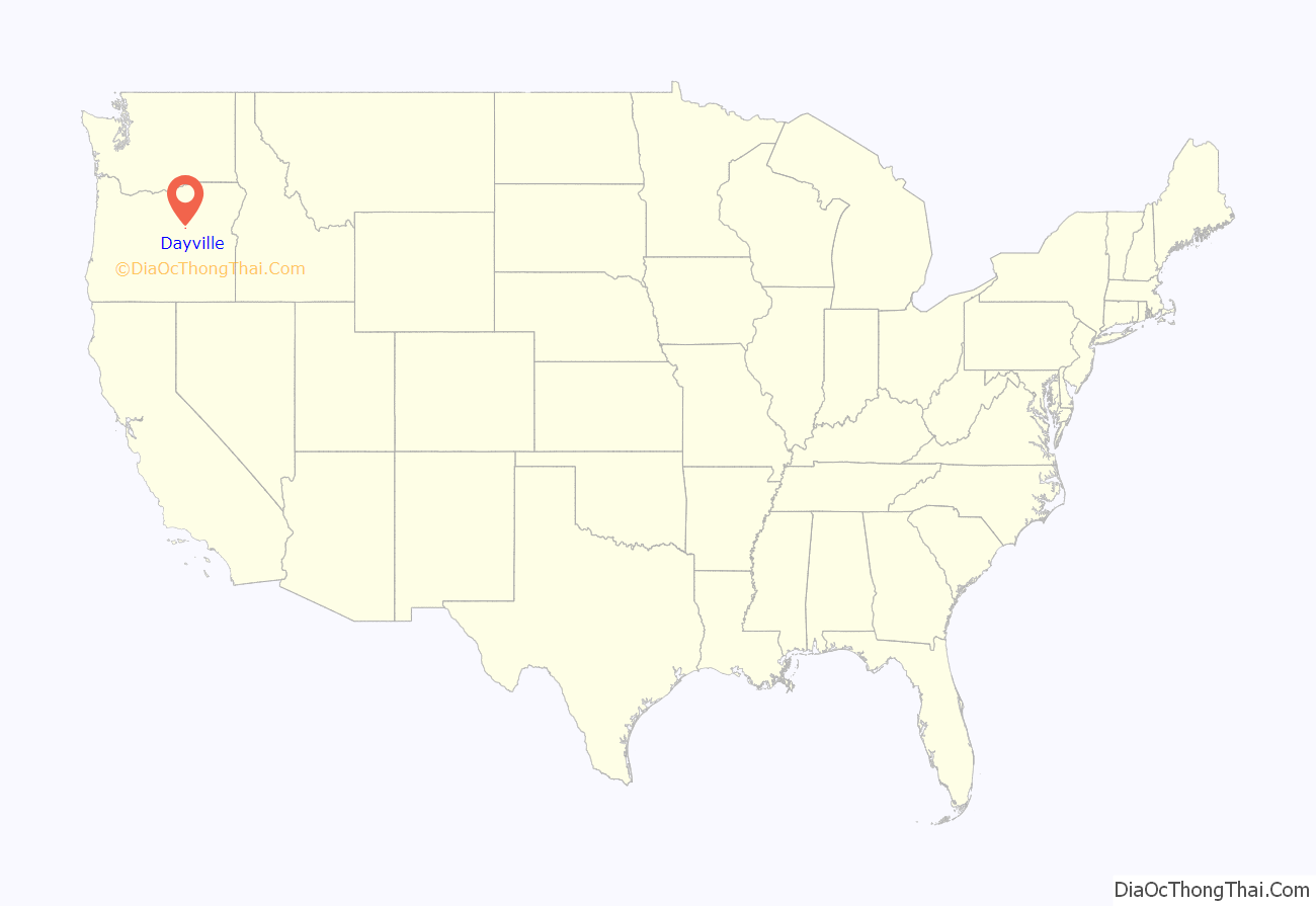
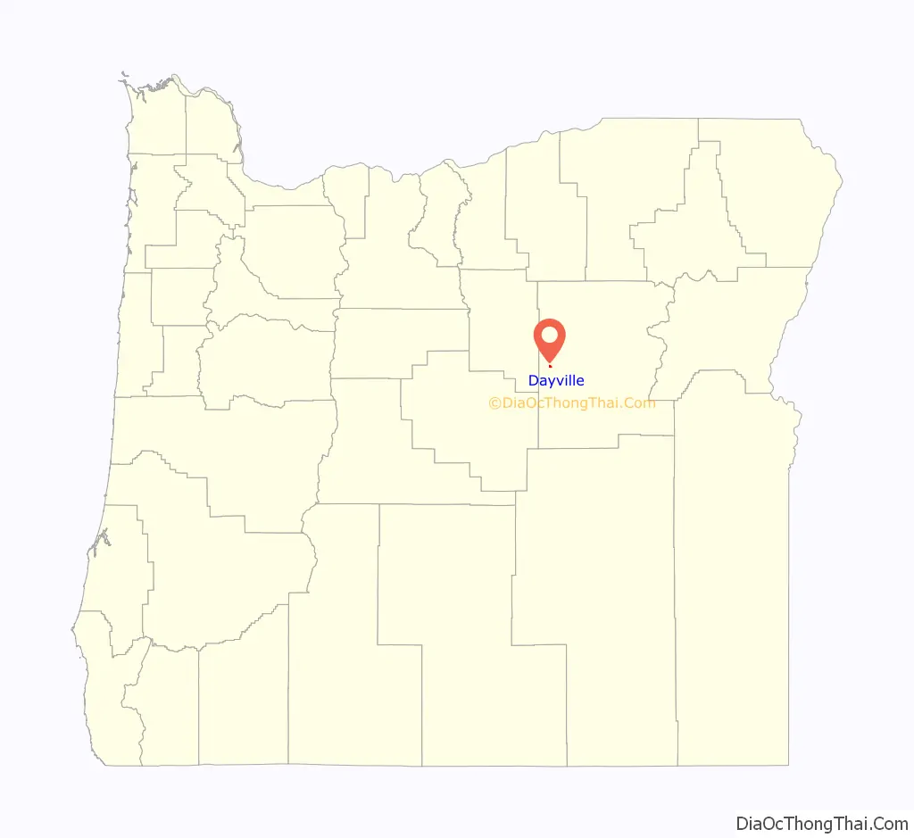
Dayville location map. Where is Dayville town?
History
Dayville was named for the John Day River. The original site of the Dayville post office was 3 miles (5 km) west of the city’s current location. In the mid-19th century, Dayville was along the route of a wagon road, renamed The Dalles Military Road in about 1870, that connected The Dalles on the Columbia River with gold mines near Canyon City. Dayville was incorporated in 1913.
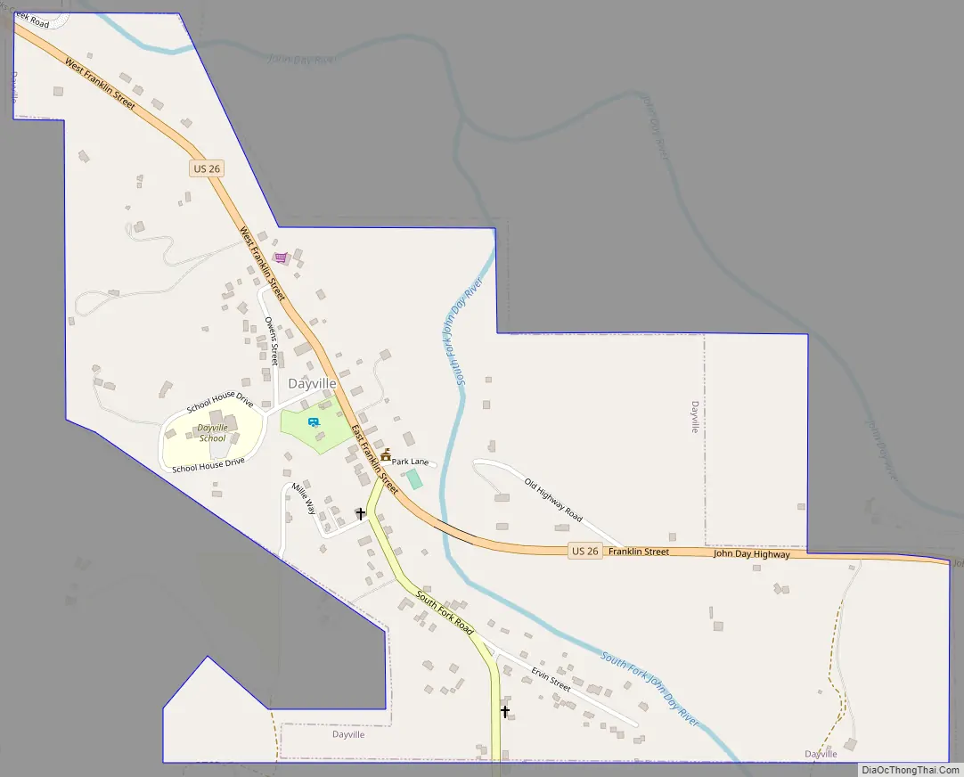
Dayville Road Map
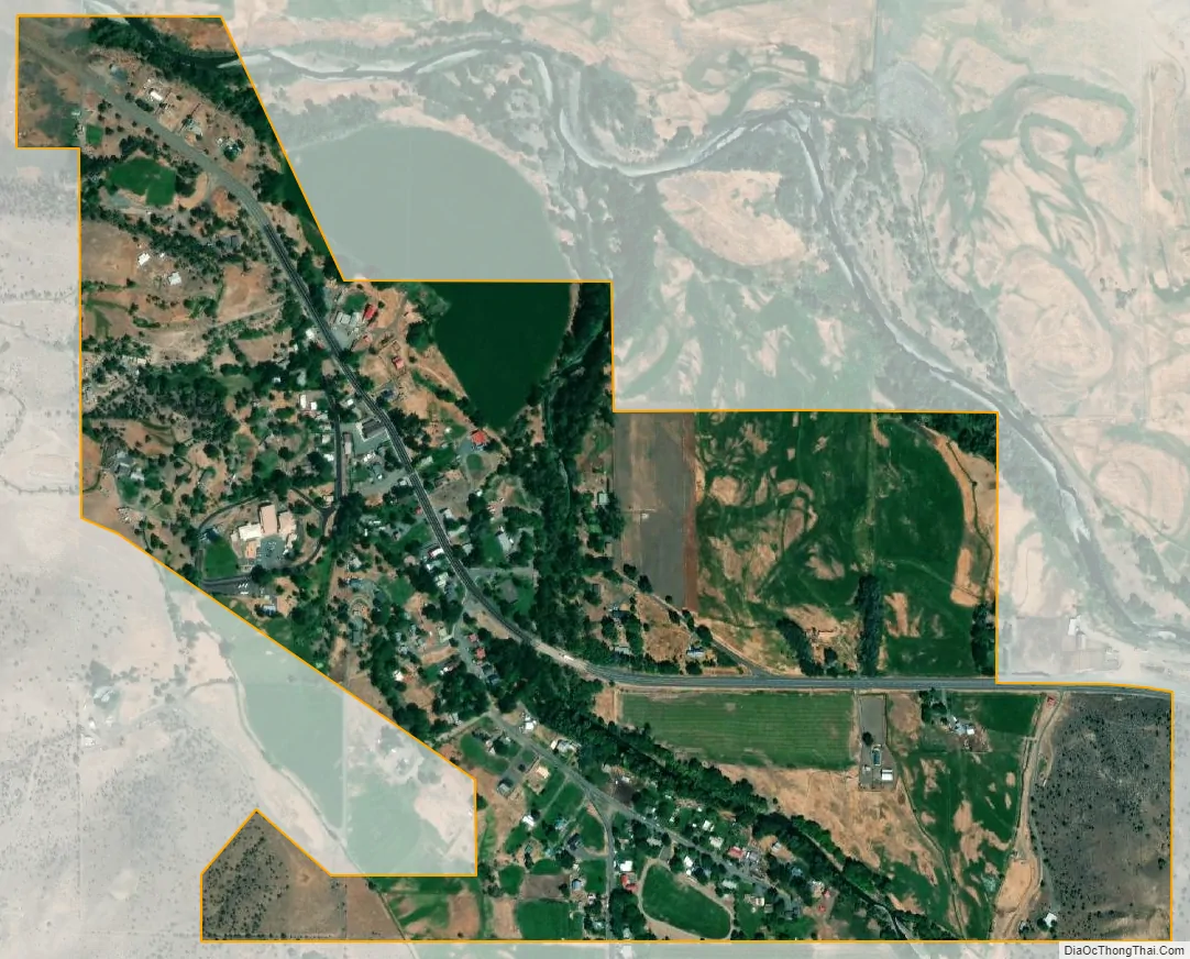
Dayville city Satellite Map
Geography
The city is 125 miles (201 km) east of Bend and 233 miles (375 km) southeast of Portland, at the confluence of the John Day River with the South Fork John Day River. U.S. Route 26 runs east–west through Dayville, and South Fork Road, which runs north–south along the smaller river, meets the larger highway in the city. Murderers Creek State Wildlife Area, the Aldrich Mountains, and parts of the Malheur National Forest are slightly southeast of Dayville. Slightly southwest are the Black Canyon Wilderness, the Ochoco Mountains, and parts of the Ochoco National Forest.
Picture Gorge, named for Native American pictographs painted on the canyon walls, is 6 miles (10 km) northwest of Dayville at the intersection of Route 26 and Oregon Route 19. The Sheep Rock Unit of the John Day Fossil Beds National Monument, including the Thomas Condon Paleontology Center and the James Cant Ranch Historic District and museum, are 2 miles (3 km) north of Picture Gorge along Route 19.
Dayville is 2,369 feet (722 m) above sea level. According to the United States Census Bureau, the city has a total area of 0.53 square miles (1.37 km), all land.
Climate
See also
Map of Oregon State and its subdivision: Map of other states:- Alabama
- Alaska
- Arizona
- Arkansas
- California
- Colorado
- Connecticut
- Delaware
- District of Columbia
- Florida
- Georgia
- Hawaii
- Idaho
- Illinois
- Indiana
- Iowa
- Kansas
- Kentucky
- Louisiana
- Maine
- Maryland
- Massachusetts
- Michigan
- Minnesota
- Mississippi
- Missouri
- Montana
- Nebraska
- Nevada
- New Hampshire
- New Jersey
- New Mexico
- New York
- North Carolina
- North Dakota
- Ohio
- Oklahoma
- Oregon
- Pennsylvania
- Rhode Island
- South Carolina
- South Dakota
- Tennessee
- Texas
- Utah
- Vermont
- Virginia
- Washington
- West Virginia
- Wisconsin
- Wyoming