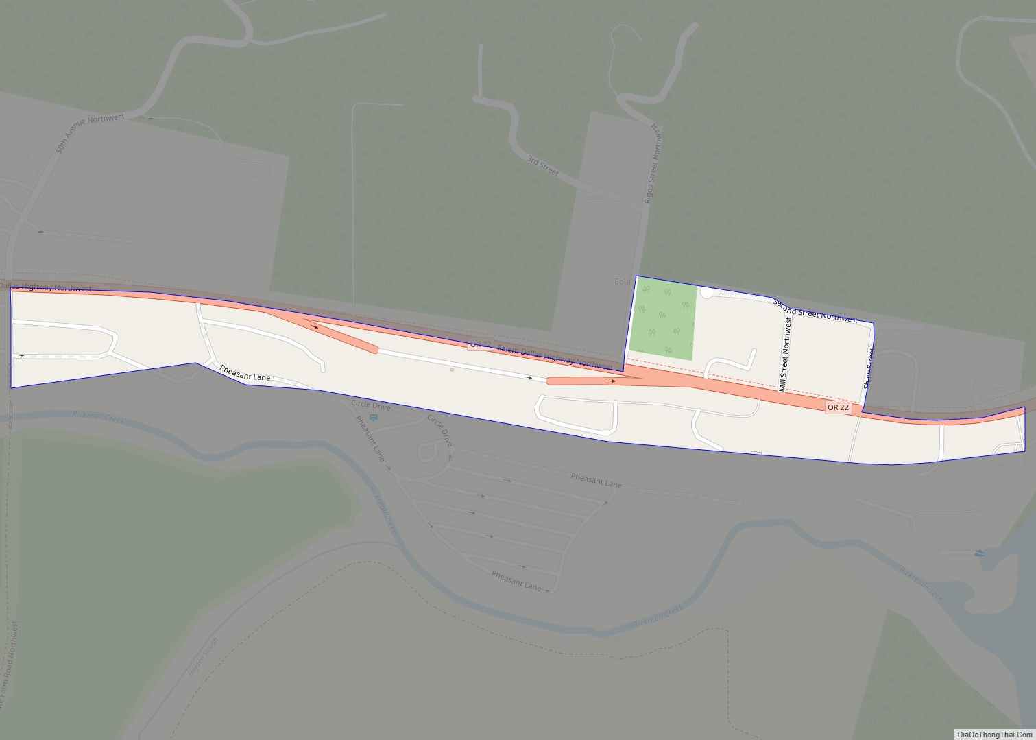
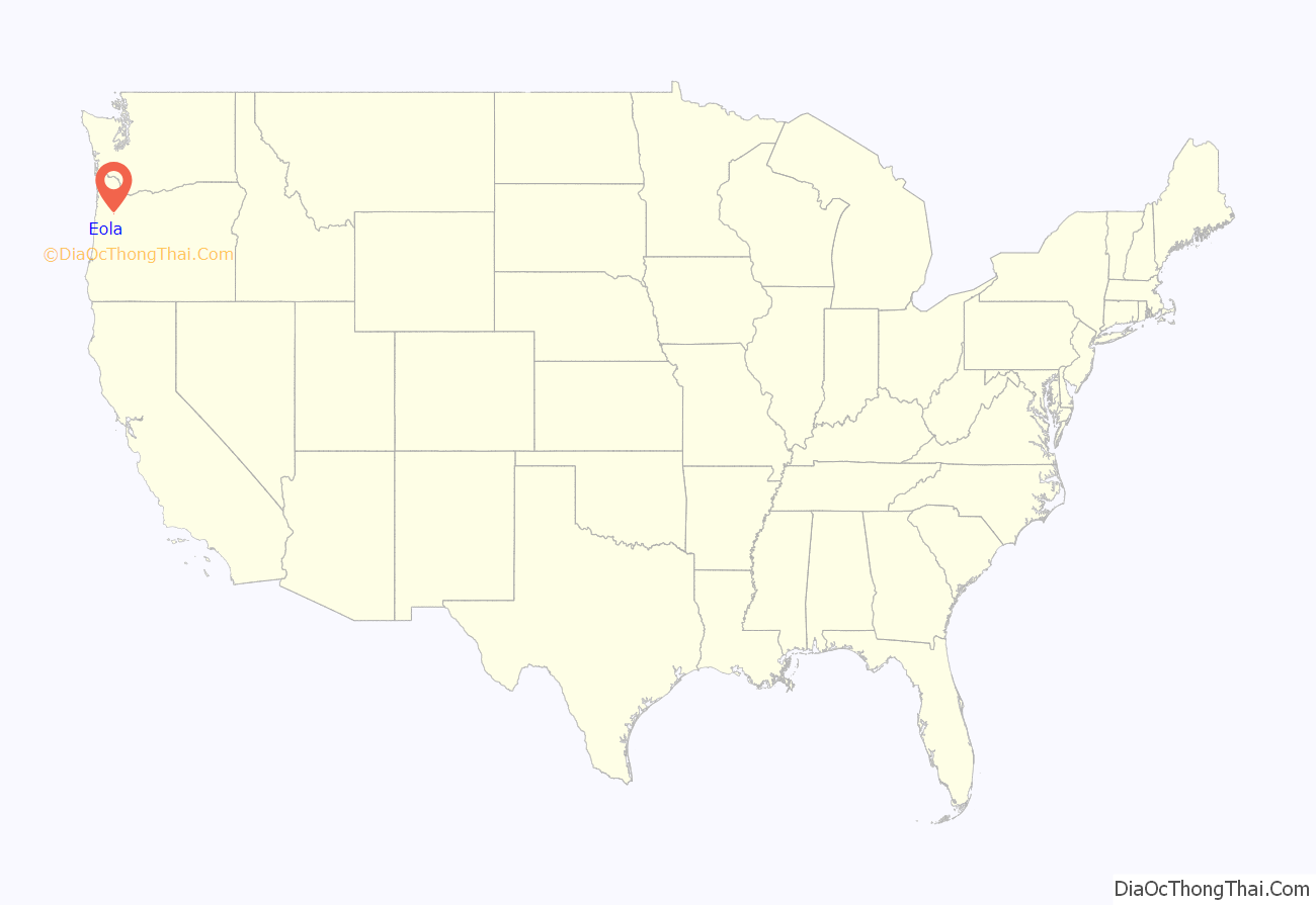
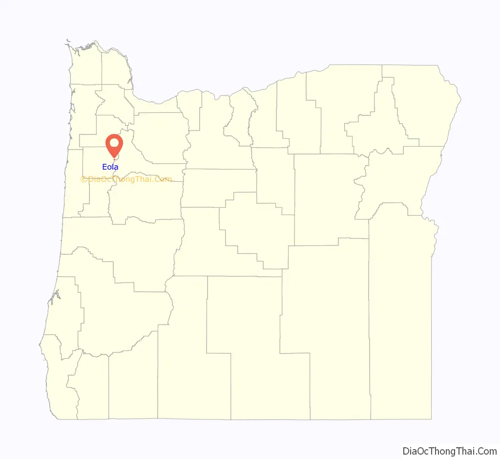
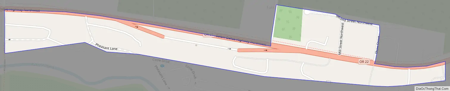
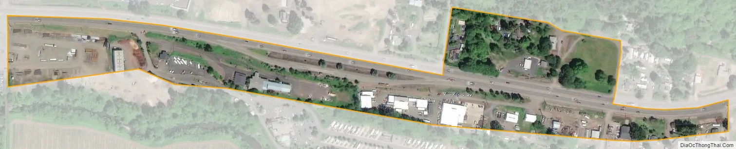
Eola is an unincorporated community in Polk County, Oregon, United States four miles west of Salem on Oregon Route 22 at the confluence of Rickreall Creek and the Willamette River.
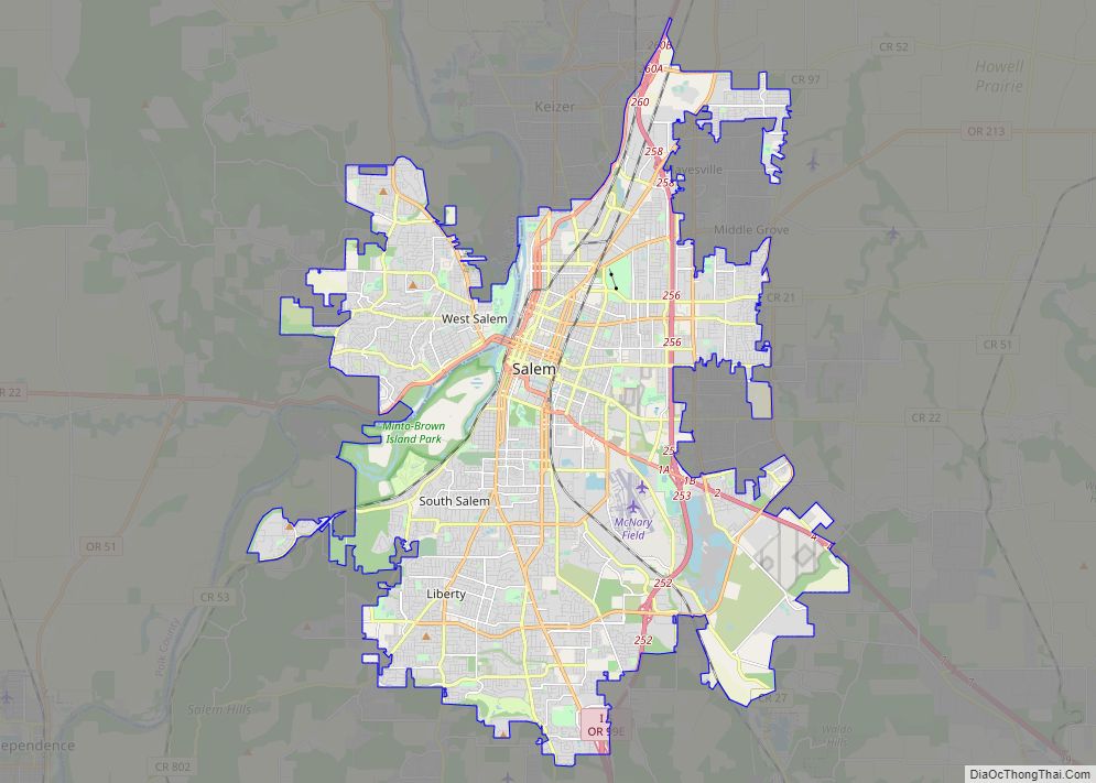
For statistical purposes, the United States Census Bureau has defined Eola as a census-designated place (CDP). The census definition of the area may not precisely correspond to local understanding of the area with the same name. The population of the CDP was 60 at the 2020 census. It is part of the Salem Metropolitan Statistical Area.
The Eola Hills rise north of the community and were named after it.
| Name: | Eola CDP |
|---|---|
| LSAD Code: | 57 |
| LSAD Description: | CDP (suffix) |
| State: | Oregon |
| County: | Polk County |
| Elevation: | 230 ft (70 m) |
| Total Area: | 0.06 sq mi (0.16 km²) |
| Land Area: | 0.06 sq mi (0.16 km²) |
| Water Area: | 0.00 sq mi (0.00 km²) |
| Total Population: | 60 |
| Population Density: | 1,000.00/sq mi (383.96/km²) |
| FIPS code: | 4123550 |
| GNISfeature ID: | 1161035 |
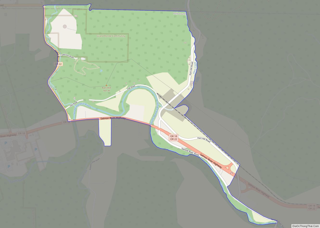
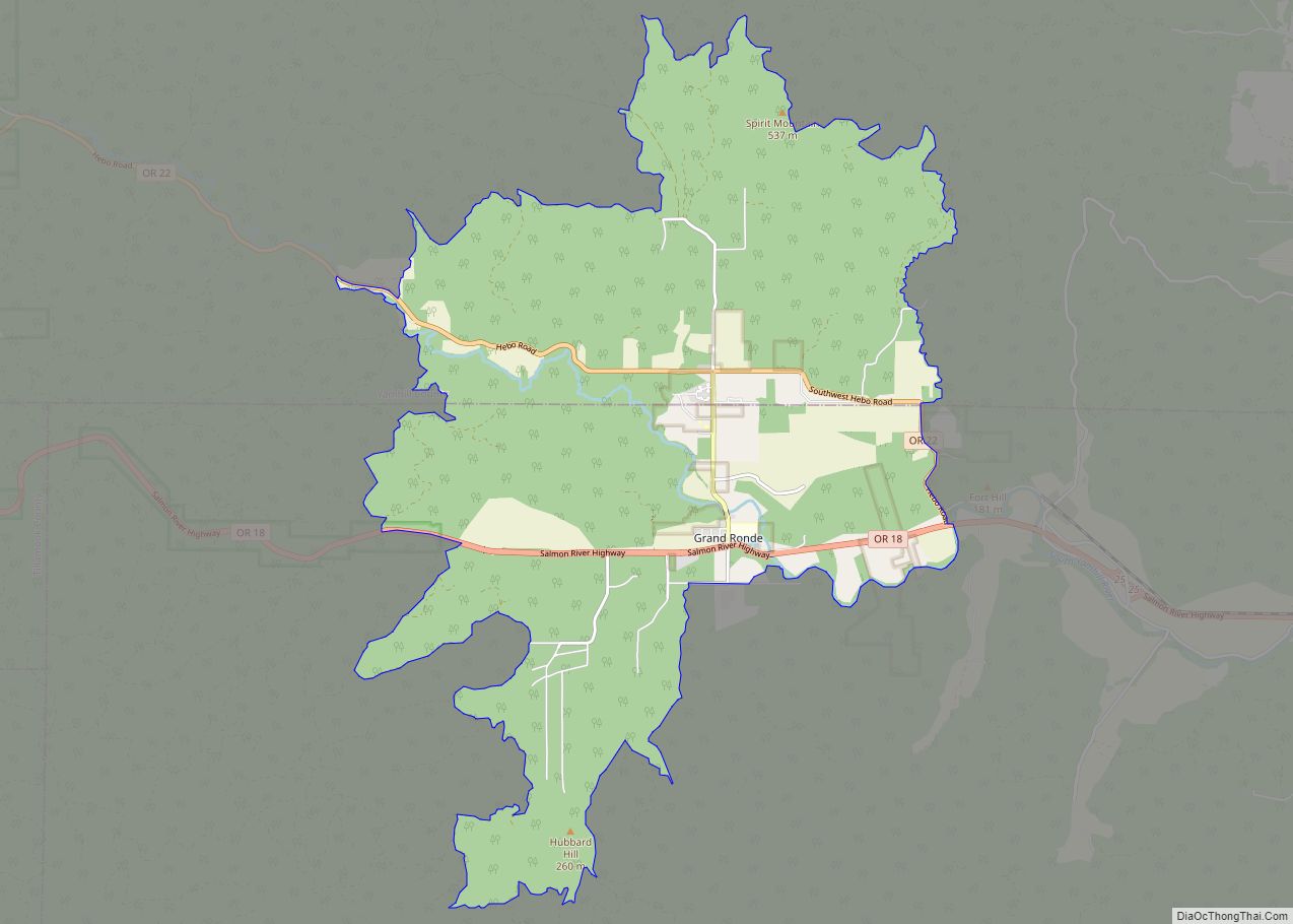
Online Interactive Map
Click on ![]() to view map in "full screen" mode.
to view map in "full screen" mode.
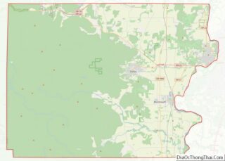
Eola location map. Where is Eola CDP?
History
Eola was originally named Cincinnati in 1844 by settlers Joshua “Sheep” Shaw and his son, A. C. R. Shaw, who thought the site resembled Cincinnati, Ohio, where Joshua once lived. Joshua Shaw earned his nickname by being the first person to bring sheep overland to the Oregon Country via the Oregon Trail, also in 1844.
Cincinnati post office was established in 1851, the first stop on a 70-mile mail route that included Nathaniel Ford’s home in Rickreall and Nesmith’s Mills at Ellendale.
The Oregon Territorial Legislature incorporated the community with the name “Eola” in 1856. The name comes from Aeolus, Greek god of the winds, though the reason for the name change is disputed.
Cincinnati post office was also renamed. Eola post office ran until 1901 and was later reestablished from 1955 to 1965.
The first school in Eola (then Cincinnati) was built in 1853. Miss Abigail J. Scott, best known by her married name as the suffragist Abigail Scott Duniway, was the first teacher. The original school burned down and was replaced by a school at Second and Mill streets in 1858. This school served the community until 1937, and at the time was the oldest schoolhouse still in use in the state. In 1937, a new school was built using a Works Progress Administration grant. This building served as a public school facility until 2003. Today the building is used as a church.
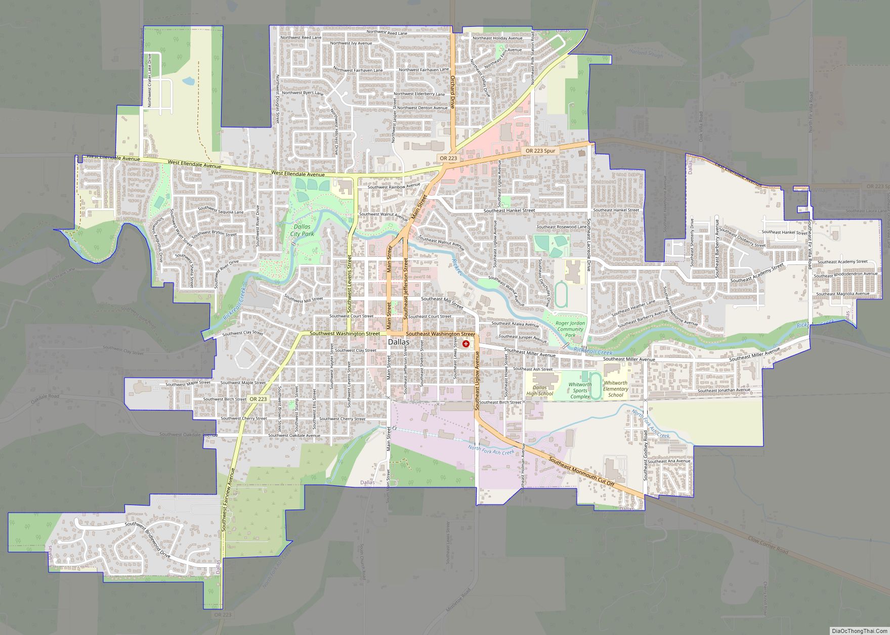
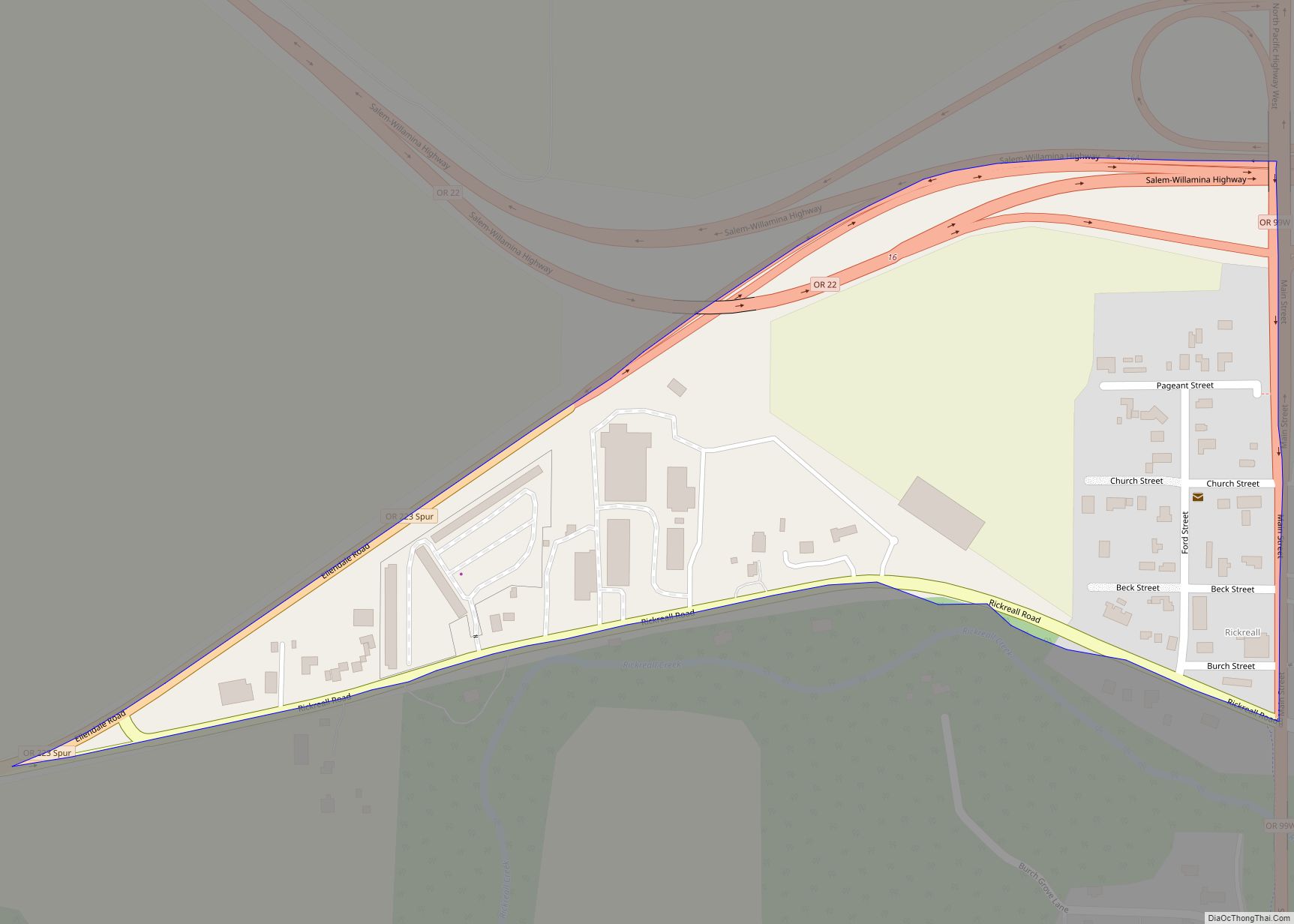
Eola Road Map
Eola city Satellite Map
Geography
According to the United States Census Bureau, the CDP has a total area of 0.1 square miles (0.26 km), all of it land.
See also
Map of Oregon State and its subdivision: Map of other states:- Alabama
- Alaska
- Arizona
- Arkansas
- California
- Colorado
- Connecticut
- Delaware
- District of Columbia
- Florida
- Georgia
- Hawaii
- Idaho
- Illinois
- Indiana
- Iowa
- Kansas
- Kentucky
- Louisiana
- Maine
- Maryland
- Massachusetts
- Michigan
- Minnesota
- Mississippi
- Missouri
- Montana
- Nebraska
- Nevada
- New Hampshire
- New Jersey
- New Mexico
- New York
- North Carolina
- North Dakota
- Ohio
- Oklahoma
- Oregon
- Pennsylvania
- Rhode Island
- South Carolina
- South Dakota
- Tennessee
- Texas
- Utah
- Vermont
- Virginia
- Washington
- West Virginia
- Wisconsin
- Wyoming