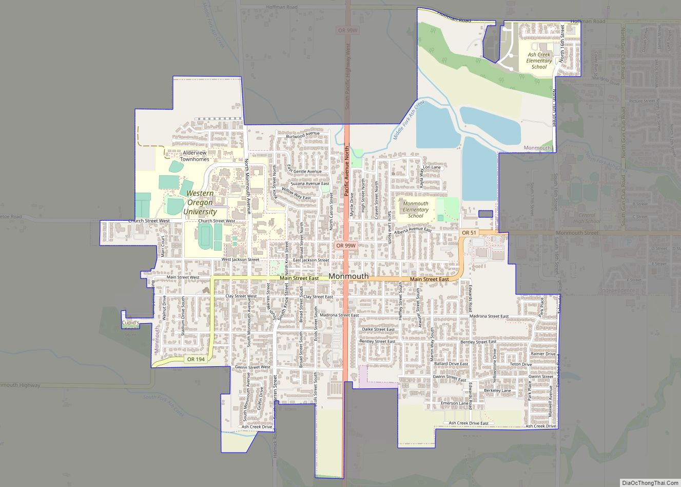
Monmouth (/ˈmɒnməθ/) is a city in Polk County in the U.S. state of Oregon. It was named for Monmouth, Illinois, the origin of its earliest settlers. The population is 11,110 at the 2020 Census and it is part of the Salem Metropolitan Statistical Area.
| Name: | Monmouth city |
|---|---|
| LSAD Code: | 25 |
| LSAD Description: | city (suffix) |
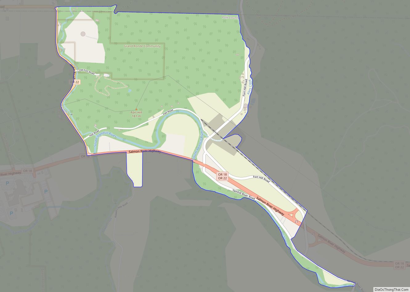
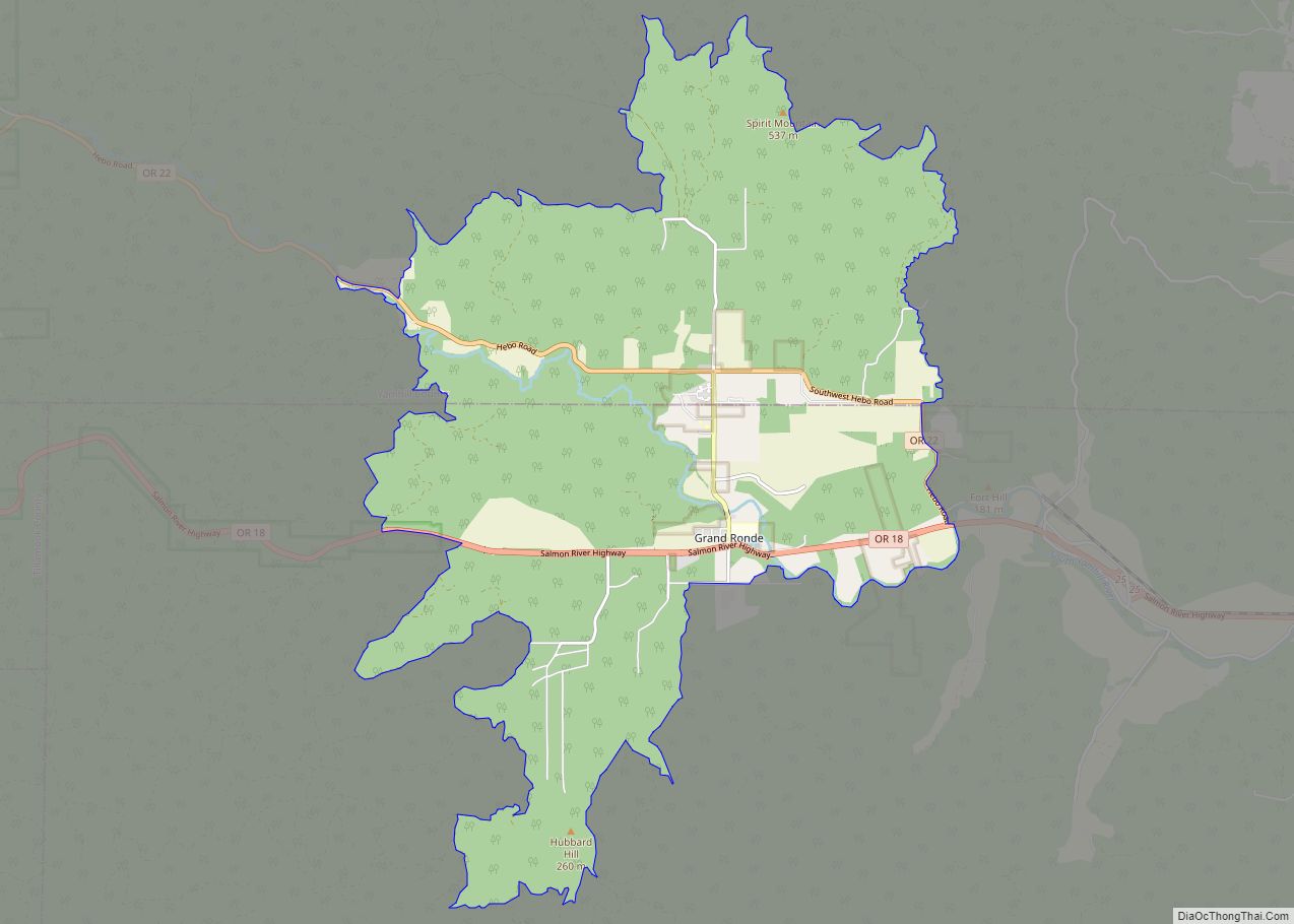
| State: | Oregon |
| County: | Polk County |
| Incorporated: | 1859 |
| Elevation: | 214 ft (65.2 m) |
| Total Area: | 2.33 sq mi (6.04 km²) |
| Land Area: | 2.25 sq mi (5.82 km²) |
| Water Area: | 0.08 sq mi (0.21 km²) |
| Total Population: | 11,110 |
| Population Density: | 4,939.97/sq mi (1,907.59/km²) |
| ZIP code: | 97361 |
| Area code: | 503 |
| FIPS code: | 4149550 |
| GNISfeature ID: | 1163156 |
| Website: | www.ci.monmouth.or.us |
Online Interactive Map
Click on ![]() to view map in "full screen" mode.
to view map in "full screen" mode.
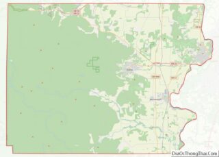
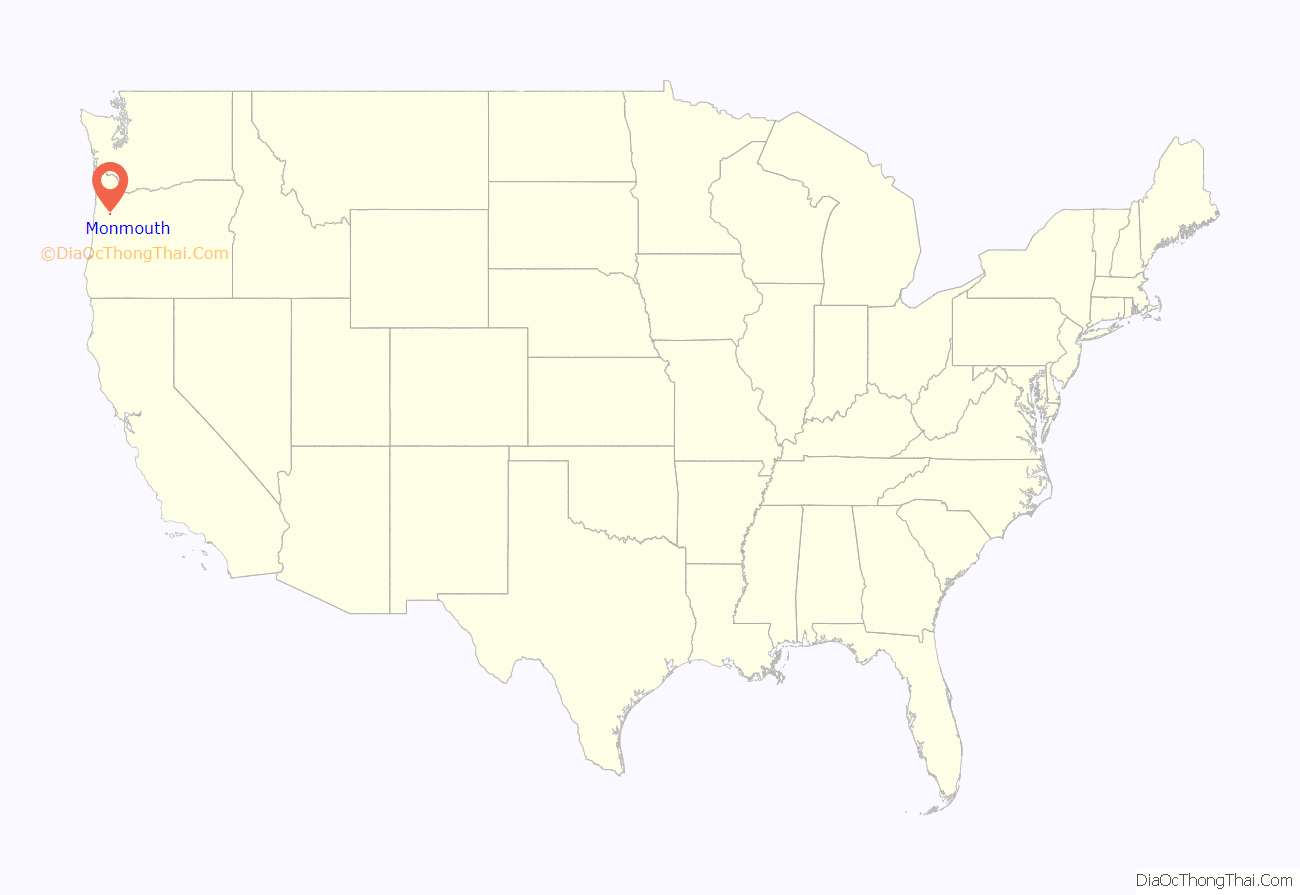
Monmouth location map. Where is Monmouth city?

History
Monmouth was settled in 1853 by a group of pioneers who allocated 640 acres (2.6 km) to build both a city and a “college under the auspices of the Christian Church”, and proceeds from the sale of these lands were used to found Monmouth University, currently known as Western Oregon University. For decades, Monmouth was a dry town that banned the sale of alcoholic beverages in supermarkets, restaurants and bars. Monmouth’s status as the last dry town in Oregon was ended by a popular vote in the November 2002 election.
Prohibition
Monmouth was settled by Elijah Davidson and his family. Originally an elder of the Christian Church of Cameron (Monmouth, Illinois), Davidson was a devout advocate of prohibition. In 1850, sixty-seven-year-old Elijah Davidson and his family set out for Oregon Territory. By 1854, more than a dozen additional church of Christ families from Monmouth, many of them related to each other or to Davidson, had joined him. In February 1859, Davidson and other trustees efforts to prohibit the importation, exportation, sale, and consumption of alcohol in Monmouth became a reality. One of the main arguments Davidson and his fellow religious supporters used to push prohibition legislation was, “to enable them to suppress and prevent nuisances, to render the possession of life and property more secure, [and] to enable them to improve and embellish the streets of the town.”
Despite the efforts of certain merchants to repeal prohibition in Monmouth throughout its history, their efforts proved fruitless. What was most important to the local religious community was to keep prohibition for the betterment of the social order of Monmouth. Although opponents raised religious, moral, economic, and quality-of-life arguments similar to those preached during the nineteenth century, they also brought two new arguments to center stage: the historic nature of Monmouth’s prohibition and the uniqueness that local prohibition brought to the town.
Eventually support for the prohibition ordinance started to wear thin throughout the community of Monmouth. Although die-hard supporters of prohibition continued to fight the inevitable, there were signs that it was starting to become more and more detrimental to the social and economic aspects of the community. Some claim that prohibition had reduced property values, others that it restricted development of the business sector in town. Opponents of repeal brought forth many arguments for staying dry, including initiating one rumor that the land donated so long ago for the site of the university would revert to the heirs of the donors if the ordinance was repealed, resulting in a huge cost to the state to repurchase it.
After failing by a nearly 5 to 1 margin in the early 1970s, repeal was passed by the voters in November 2002, and Monmouth ended its long tenure as the last dry town on the west coast.
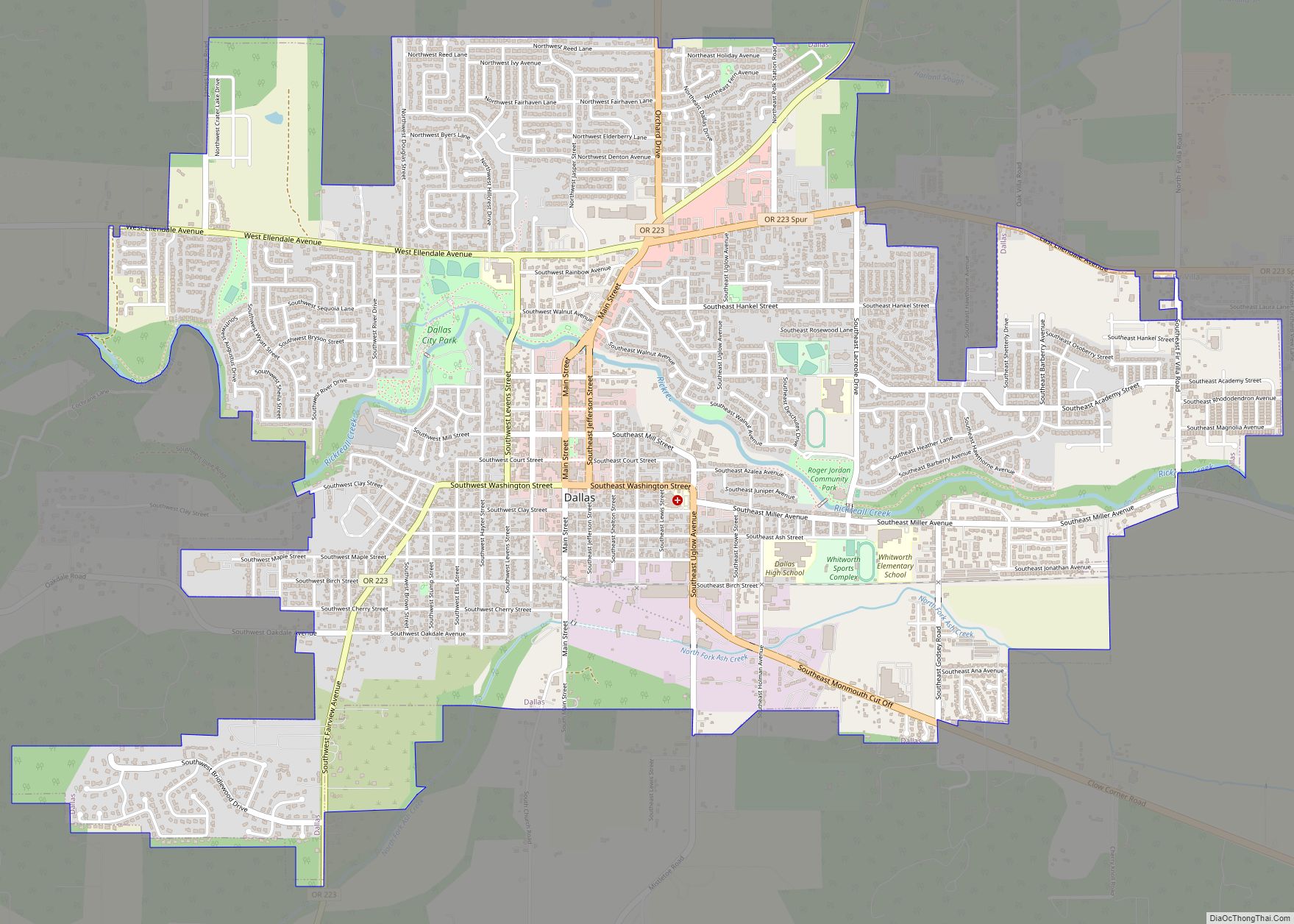
Monmouth Road Map
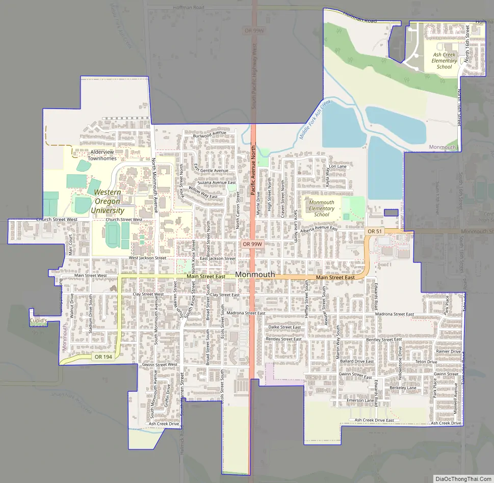
Monmouth city Satellite Map

Geography
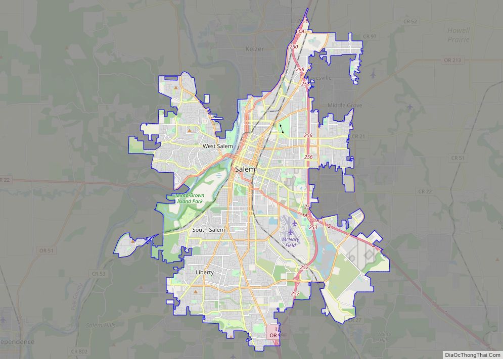
Monmouth is about 12 miles (19 km) west of Salem on Oregon Route 99W. It lies in the Ash Creek watershed, slightly west of the Willamette River.
According to the United States Census Bureau, the city has a total area of 2.24 square miles (5.80 km), all of it land.
See also
Map of Oregon State and its subdivision: Map of other states:- Alabama
- Alaska
- Arizona
- Arkansas
- California
- Colorado
- Connecticut
- Delaware
- District of Columbia
- Florida
- Georgia
- Hawaii
- Idaho
- Illinois
- Indiana
- Iowa
- Kansas
- Kentucky
- Louisiana
- Maine
- Maryland
- Massachusetts
- Michigan
- Minnesota
- Mississippi
- Missouri
- Montana
- Nebraska
- Nevada
- New Hampshire
- New Jersey
- New Mexico
- New York
- North Carolina
- North Dakota
- Ohio
- Oklahoma
- Oregon
- Pennsylvania
- Rhode Island
- South Carolina
- South Dakota
- Tennessee
- Texas
- Utah
- Vermont
- Virginia
- Washington
- West Virginia
- Wisconsin
- Wyoming