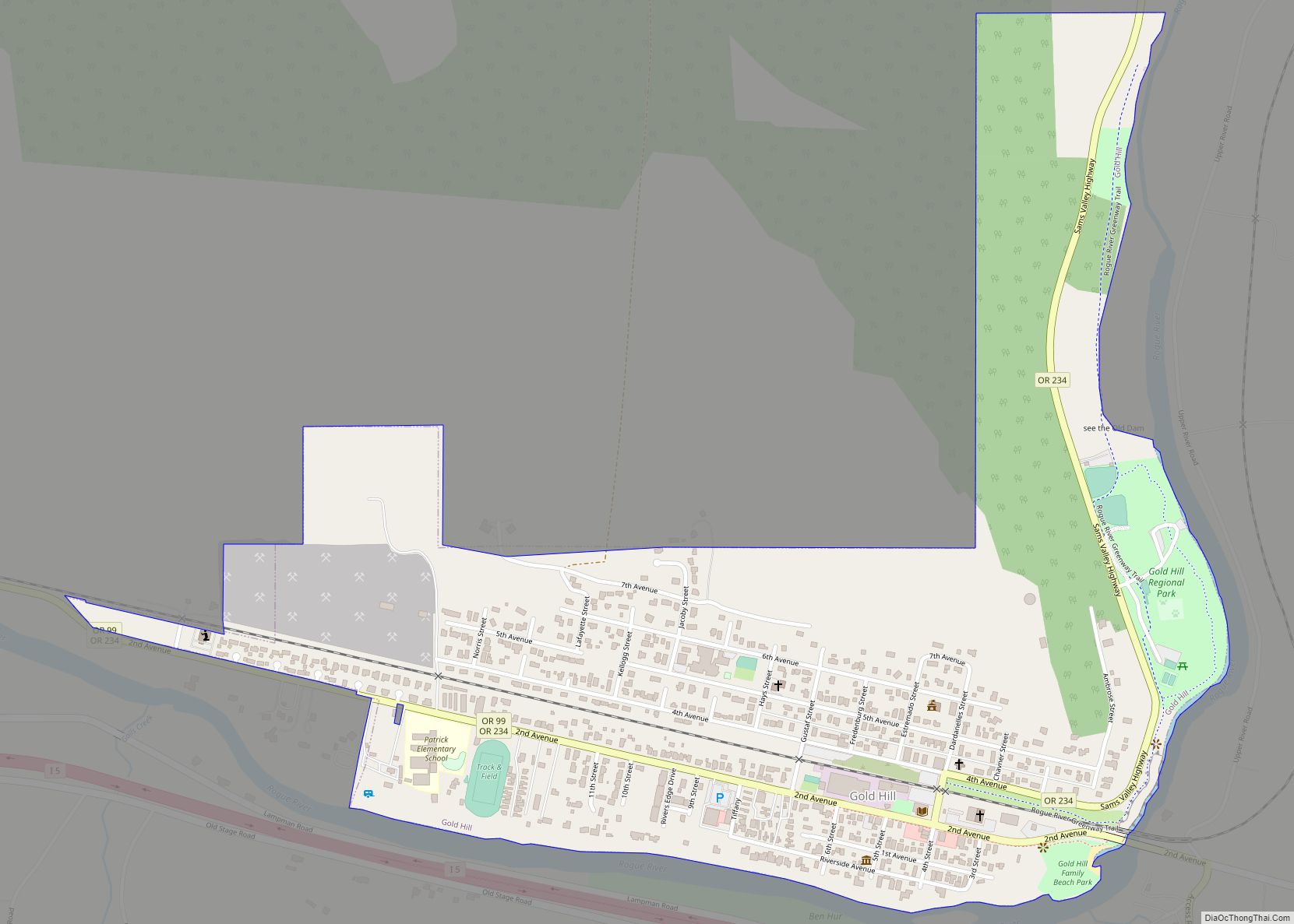
Gold Hill is a city in Jackson County, Oregon, in the United States. As of the 2010 census the population was 1,335. It is along a bend of the Rogue River.
| Name: | Gold Hill city |
|---|---|
| LSAD Code: | 25 |
| LSAD Description: | city (suffix) |
| State: | Oregon |
| County: | Jackson County |
| Incorporated: | 1895 |
| Elevation: | 1,085 ft (330.7 m) |
| Total Area: | 0.76 sq mi (1.97 km²) |
| Land Area: | 0.76 sq mi (1.97 km²) |
| Water Area: | 0.00 sq mi (0.00 km²) |
| Total Population: | 1,335 |
| Population Density: | 1,751.97/sq mi (676.77/km²) |
| ZIP code: | 97525 |
| Area code: | 541 |
| FIPS code: | 4129950 |
| GNISfeature ID: | 1639311 |
| Website: | www.cityofgoldhill.com |
Online Interactive Map
Click on ![]() to view map in "full screen" mode.
to view map in "full screen" mode.
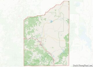
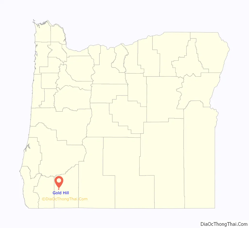
Gold Hill location map. Where is Gold Hill city?

History
The City’s name comes from a nearby hill that was the location of a 19th-century gold discovery, on “Big Bar” on the Rogue River in the early 1850s. In 1852, Colonel William T’Vault and family made a claim, naming it Dardanelles, on the south side of the Rogue. Gold Hill became a boomtown overnight after time it became well known as pocket gold county. Seasoned prospectors specialized in placer mining from rivers, creeks, and streams. Gold Hill became world famous for its production of cement from area limestone deposit’s.
Gold Hill Road Map

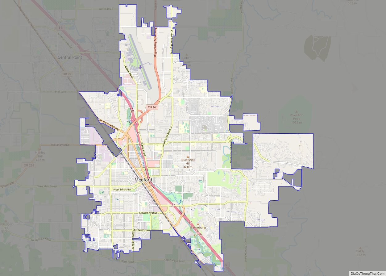
Gold Hill city Satellite Map

Geography
According to the United States Census Bureau, the city has a total area of 0.77 square miles (1.99 km), all of it land.
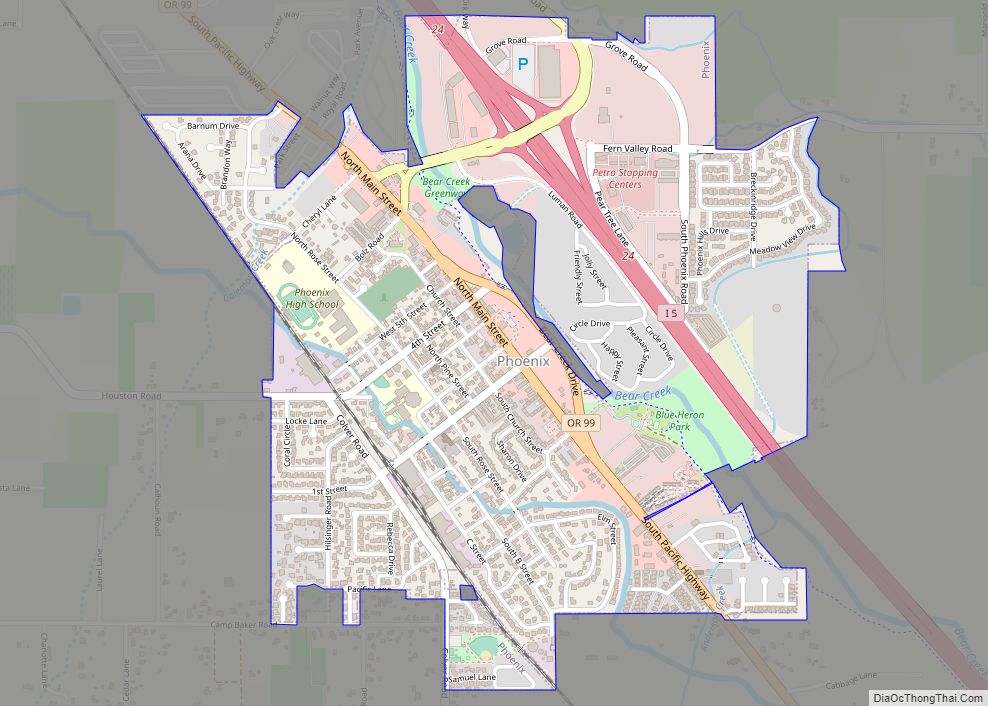
Gold Hill lies east of the city of Rogue River and northwest of Central Point and Medford along Interstate 5 and Oregon Route 99 in the Rogue River Valley. Gold Hill is connected to Shady Cove to the northeast by Oregon Route 234.
See also
Map of Oregon State and its subdivision: Map of other states:- Alabama
- Alaska
- Arizona
- Arkansas
- California
- Colorado
- Connecticut
- Delaware
- District of Columbia
- Florida
- Georgia
- Hawaii
- Idaho
- Illinois
- Indiana
- Iowa
- Kansas
- Kentucky
- Louisiana
- Maine
- Maryland
- Massachusetts
- Michigan
- Minnesota
- Mississippi
- Missouri
- Montana
- Nebraska
- Nevada
- New Hampshire
- New Jersey
- New Mexico
- New York
- North Carolina
- North Dakota
- Ohio
- Oklahoma
- Oregon
- Pennsylvania
- Rhode Island
- South Carolina
- South Dakota
- Tennessee
- Texas
- Utah
- Vermont
- Virginia
- Washington
- West Virginia
- Wisconsin
- Wyoming