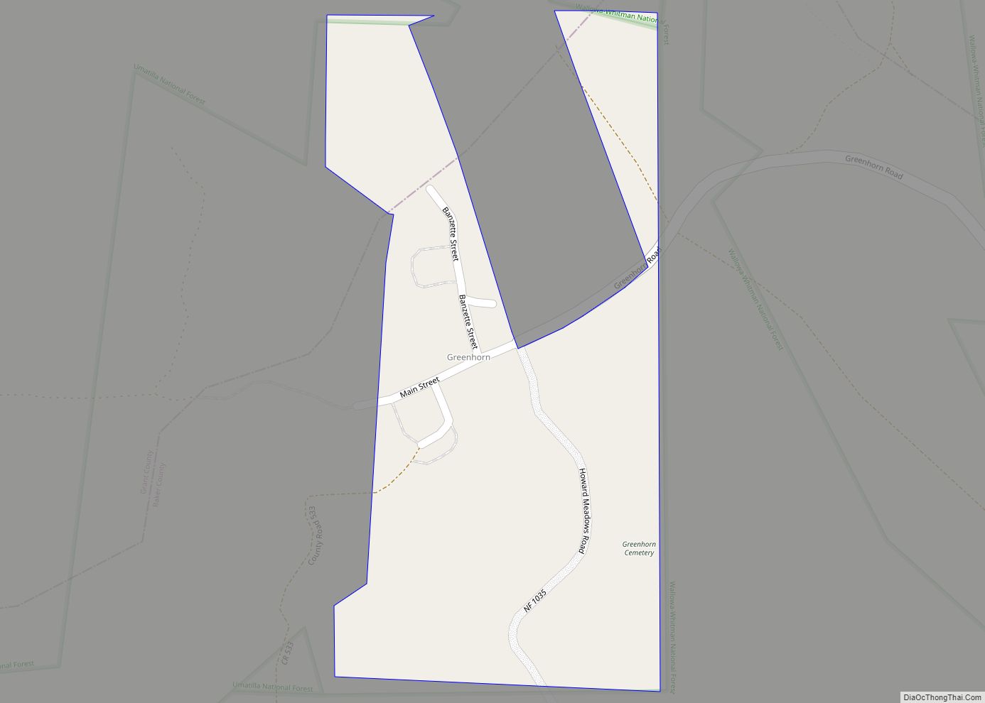
Granite is a city in Grant County, in the U.S. state of Oregon. The city had a population of 38 in 2010, up from 24 in 2000. In 2010, it was the fourth-smallest incorporated city by population in Oregon. The smaller cities were Shaniko (36 people), Lonerock (21), and nearby Greenhorn (0).
| Name: | Granite city |
|---|---|
| LSAD Code: | 25 |
| LSAD Description: | city (suffix) |
| State: | Oregon |
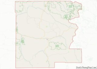
| County: | Grant County |
| Incorporated: | 1900 |
| Elevation: | 4,695 ft (1,431 m) |
| Total Area: | 0.38 sq mi (0.98 km²) |
| Land Area: | 0.37 sq mi (0.96 km²) |
| Water Area: | 0.00 sq mi (0.01 km²) |
| Total Population: | 32 |
| Population Density: | 86.02/sq mi (33.17/km²) |
| ZIP code: | 97877 |
| Area code: | 458 and 541 |
| FIPS code: | 4130500 |
| GNISfeature ID: | 1142911 |
Online Interactive Map
Click on ![]() to view map in "full screen" mode.
to view map in "full screen" mode.
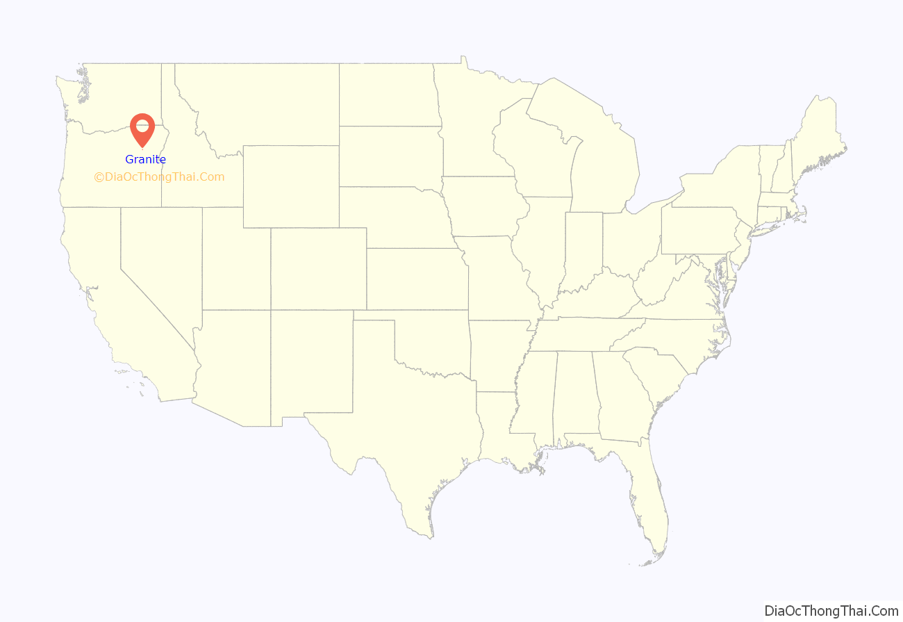
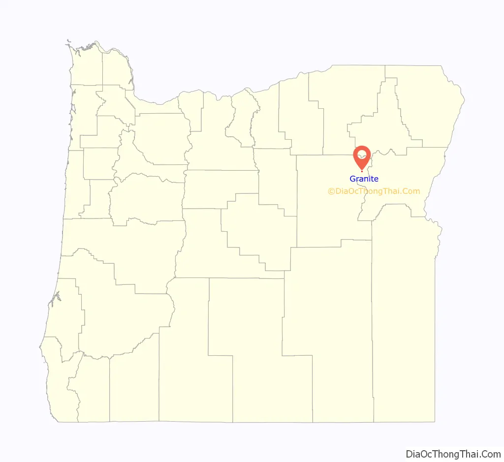
Granite location map. Where is Granite city?
History
First established by miners after the discovery of gold along Granite Creek on July 4, 1862, the area was originally called Granite Creek Mines. During the following year, a settlement called Granite City was established about 1.5 miles (2.4 km) downstream of where Granite City is now. It was moved to its current location in 1867 and renamed Independence after the date—July 4, or Independence Day—of the earlier gold discovery. However, when the community’s post office was established in 1878, it could not use the name Independence because that name was already used by another Oregon city. Instead, the name Granite was chosen. The post office closed in 1957, but the city retained the name. The creek takes its name from the granite rocks that are common to the area.
In 1878, miner and business owner A. G. Tabor became the first postmaster. Grant Thornburg became the first mayor after the city incorporated in 1900.
A 1939 interview “Occupational and Social Life of Granite” recorded by William “Bill” Haight as part of the Federal Writers’ Project, described the town and surroundings of Granite.
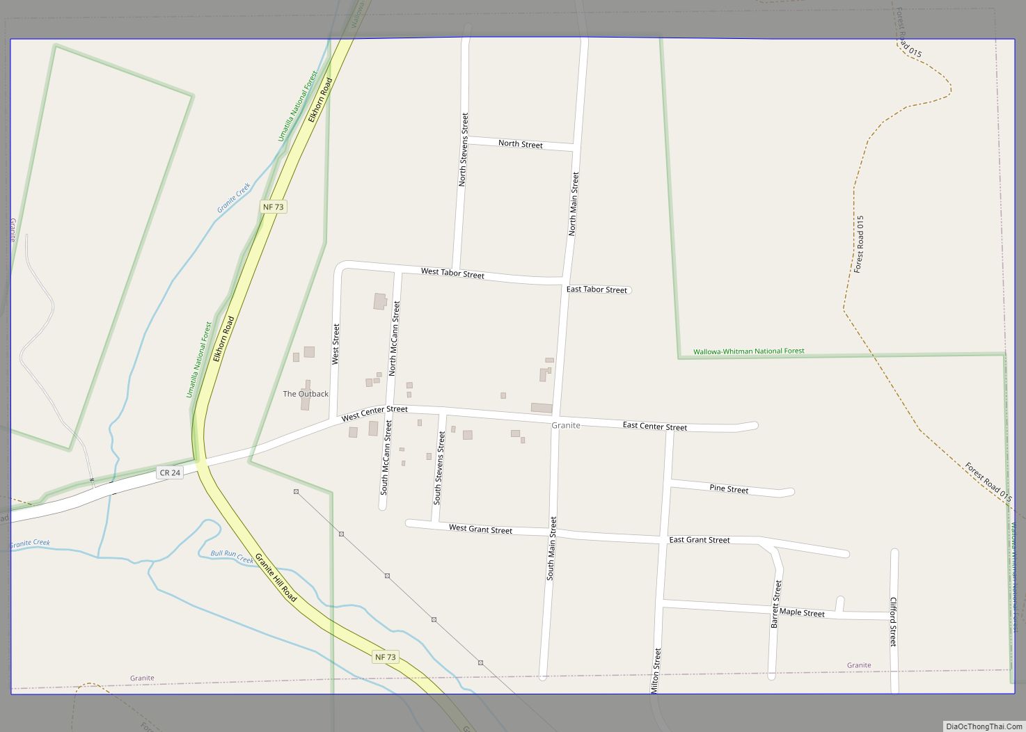
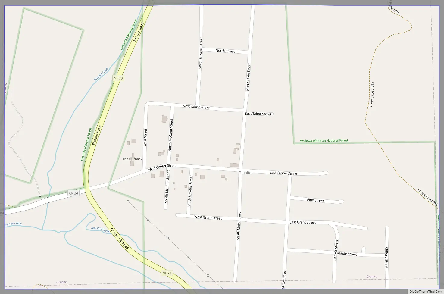
Granite Road Map
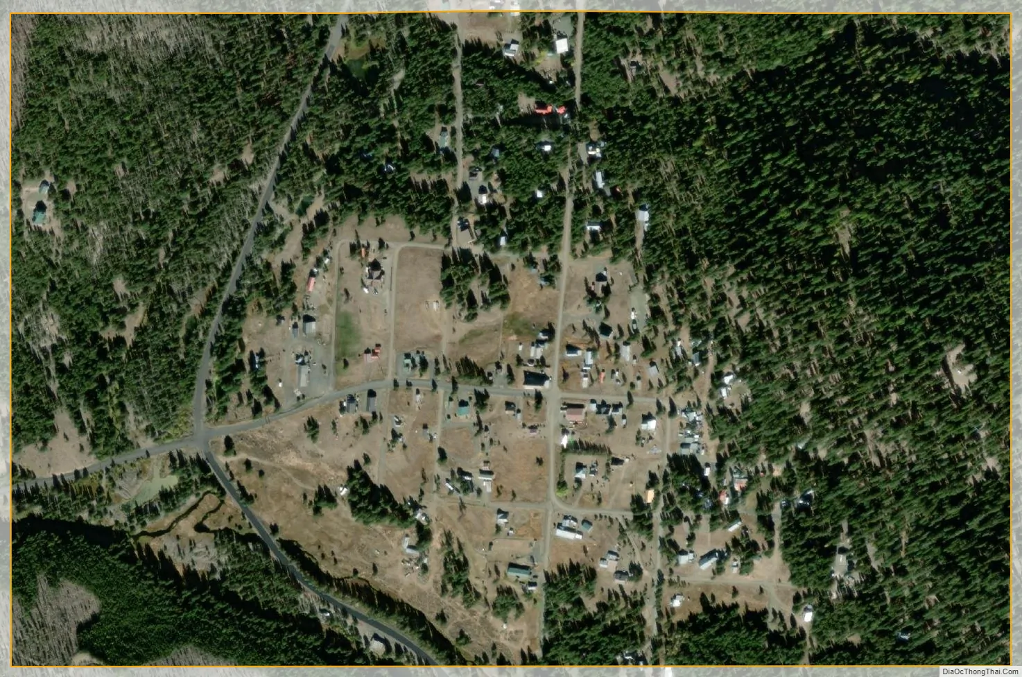
Granite city Satellite Map
Geography
Granite is an elevation of 4,695 feet (1,431 m) in the Blue Mountains of eastern Oregon. It is 47 miles (76 km) west of Baker City by highway and 346 miles (557 km) east-southeast of Portland. According to the United States Census Bureau, the city has a total area of 0.37 square miles (0.96 km), all land.
The Elkhorn Drive Scenic Byway, a 106-mile (171 km) closed-loop route mainly through forests in the Elkhorn Mountains, passes through Granite. Other communities along the route are Baker City, Haines, and Sumpter, the latter about 11 miles (18 km) southeast of Granite.
See also
Map of Oregon State and its subdivision: Map of other states:- Alabama
- Alaska
- Arizona
- Arkansas
- California
- Colorado
- Connecticut
- Delaware
- District of Columbia
- Florida
- Georgia
- Hawaii
- Idaho
- Illinois
- Indiana
- Iowa
- Kansas
- Kentucky
- Louisiana
- Maine
- Maryland
- Massachusetts
- Michigan
- Minnesota
- Mississippi
- Missouri
- Montana
- Nebraska
- Nevada
- New Hampshire
- New Jersey
- New Mexico
- New York
- North Carolina
- North Dakota
- Ohio
- Oklahoma
- Oregon
- Pennsylvania
- Rhode Island
- South Carolina
- South Dakota
- Tennessee
- Texas
- Utah
- Vermont
- Virginia
- Washington
- West Virginia
- Wisconsin
- Wyoming