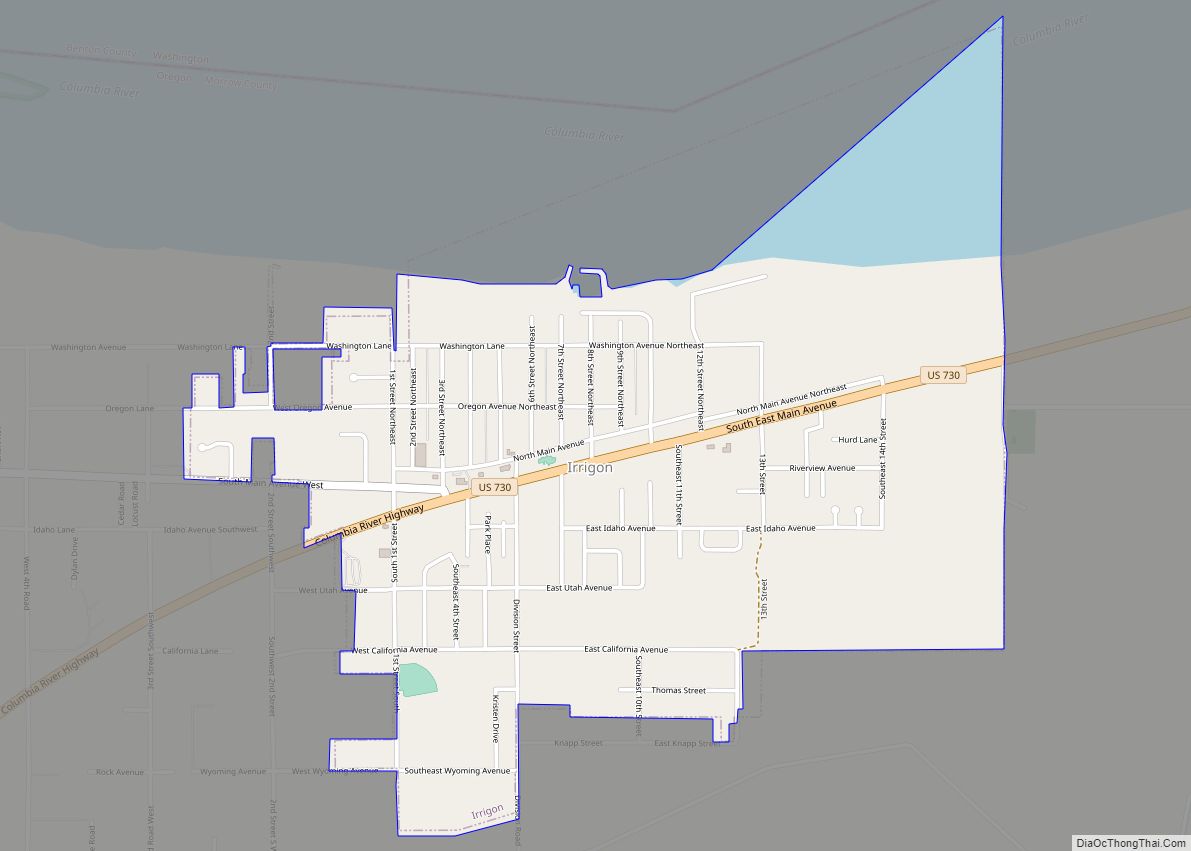
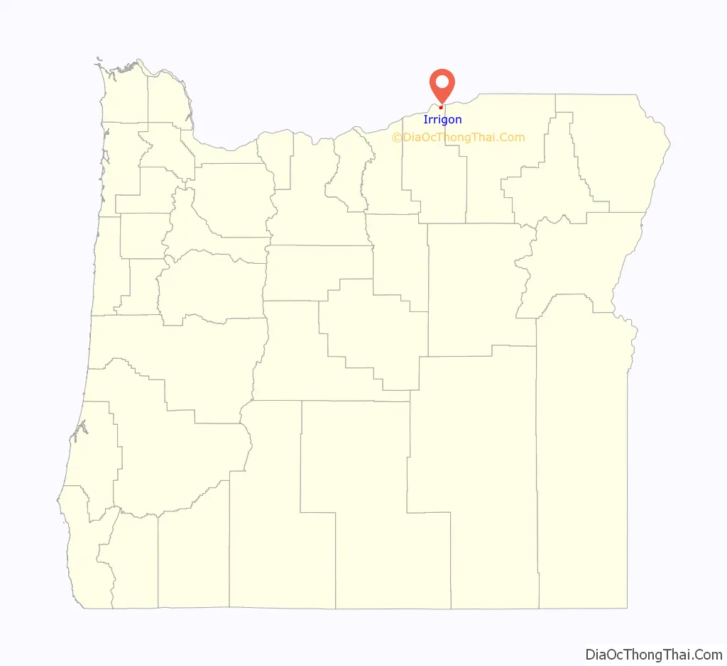
Irrigon is a city in Morrow County, Oregon, United States, on the Columbia River and U.S. Route 730. The city is part of the Pendleton–Hermiston Micropolitan Statistical Area. The population was 1,826 at the 2010 census.
Irrigon was incorporated on February 28, 1957. The Umatilla Chemical Depot and the Umatilla Chemical Agent Disposal Facility are about 4 miles (6 km) south of the city near the intersection of Interstate 84 (I-84) and Interstate 82 (I-82). The Irrigon Hatchery is along the Columbia River about 3 miles (5 km) west of Irrigon.
| Name: | Irrigon city |
|---|---|
| LSAD Code: | 25 |
| LSAD Description: | city (suffix) |
| State: | Oregon |
| County: | Morrow County |
| Incorporated: | February 28, 1957 |
| Elevation: | 297 ft (91 m) |
| Total Area: | 1.45 sq mi (3.75 km²) |
| Land Area: | 1.30 sq mi (3.36 km²) |
| Water Area: | 0.15 sq mi (0.39 km²) |
| Total Population: | 2,011 |
| Population Density: | 1,550.50/sq mi (598.83/km²) |
| ZIP code: | 97844 |
| Area code: | 541 |
| FIPS code: | 4136500 |
| GNISfeature ID: | 1167710 |
Online Interactive Map
Click on ![]() to view map in "full screen" mode.
to view map in "full screen" mode.
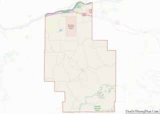
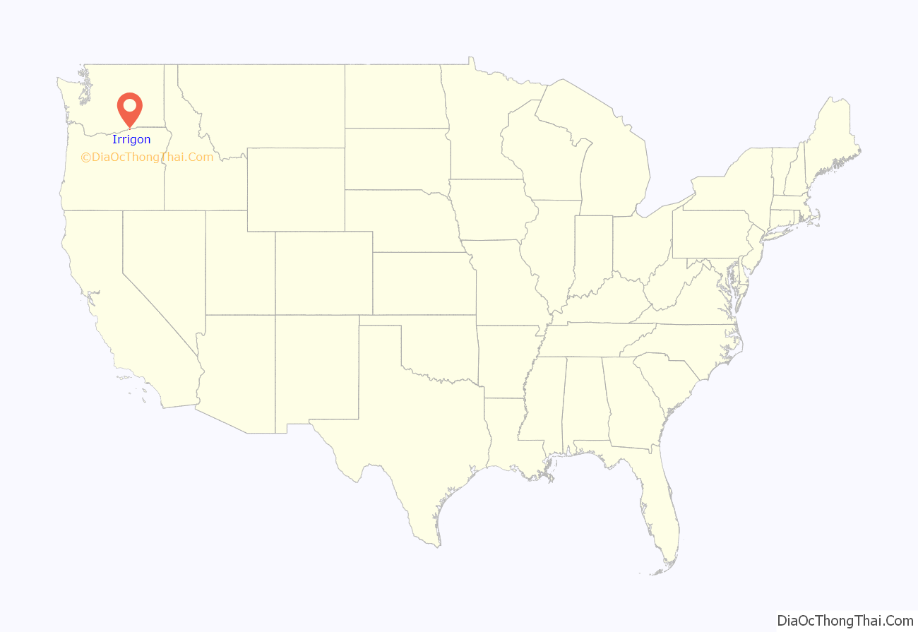
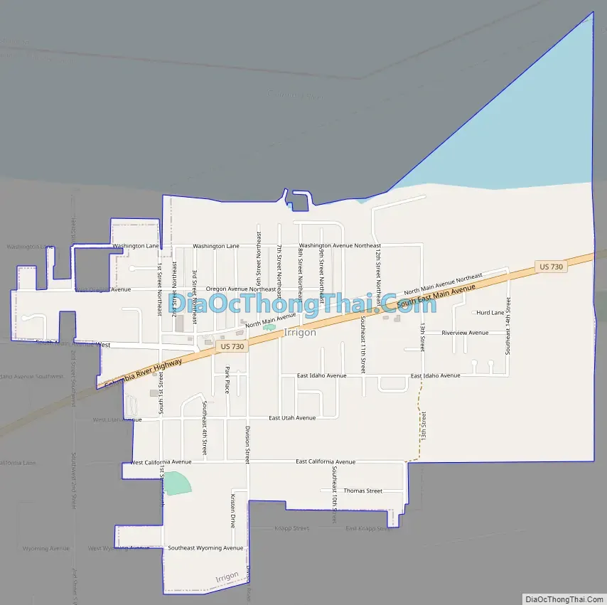
Irrigon location map. Where is Irrigon city?
History
Irrigon is near the site of a former Columbia River landing called Grande Ronde Landing that vied with Umatilla Landing (Umatilla), 8 miles (13 km) upriver, for water-transportation business. Umatilla Landing prospered, and Grande Ronde Landing did not; the latter was eventually renamed Stokes. In 1903, a newspaper editor, Addison Bennett, renamed the community Irrigon, a portmanteau assembled from Irrigation and Oregon. Bennett, who saw irrigation as important to business in the city, published its first newspaper, the Oregon Irrigator, later renamed the Irrigon Irrigator.
Stokes, the site of a railway station by that name, had a post office that operated from 1876 through 1899; Douglas W. Bailey served as postmaster. An Irrigon post office was established in 1903; Frank B. Holbrook was the first postmaster.
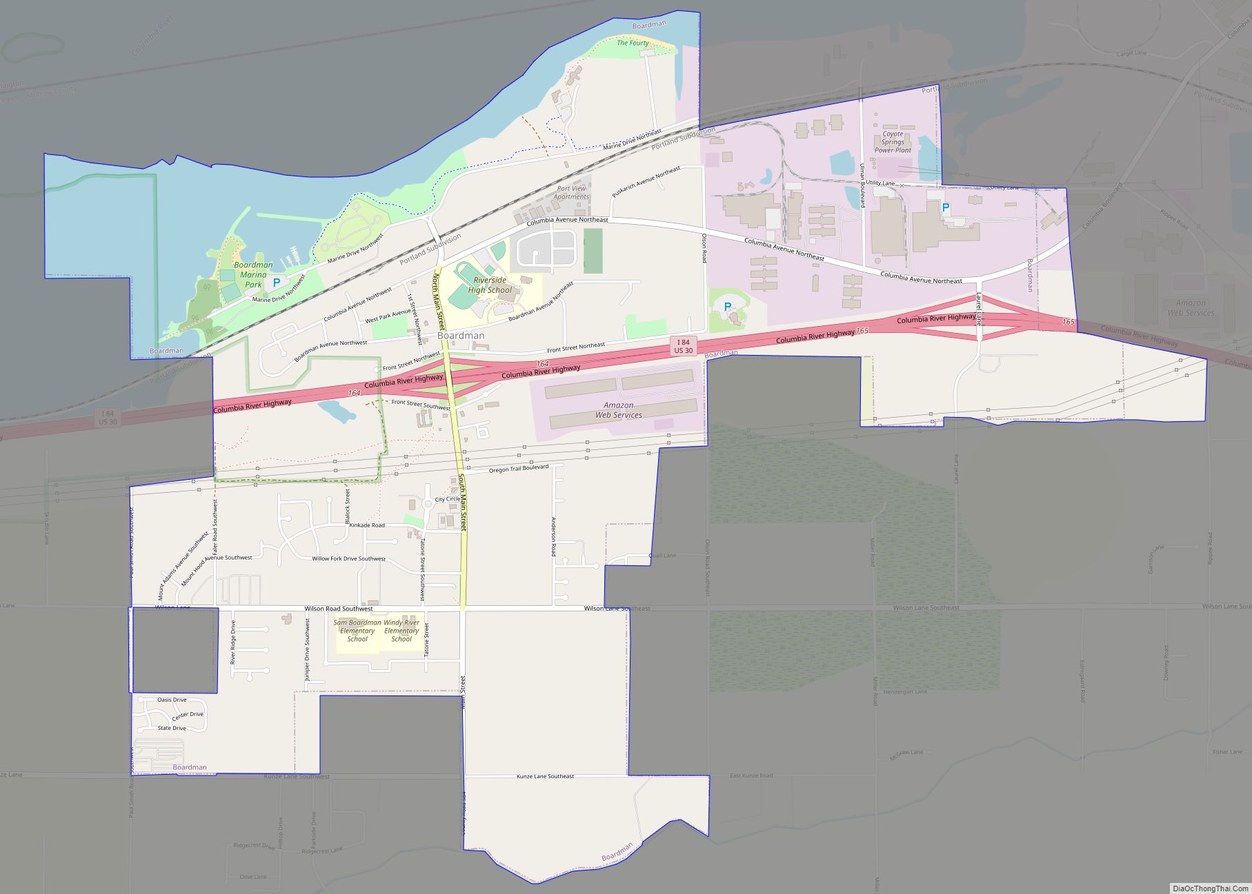
Irrigon Road Map
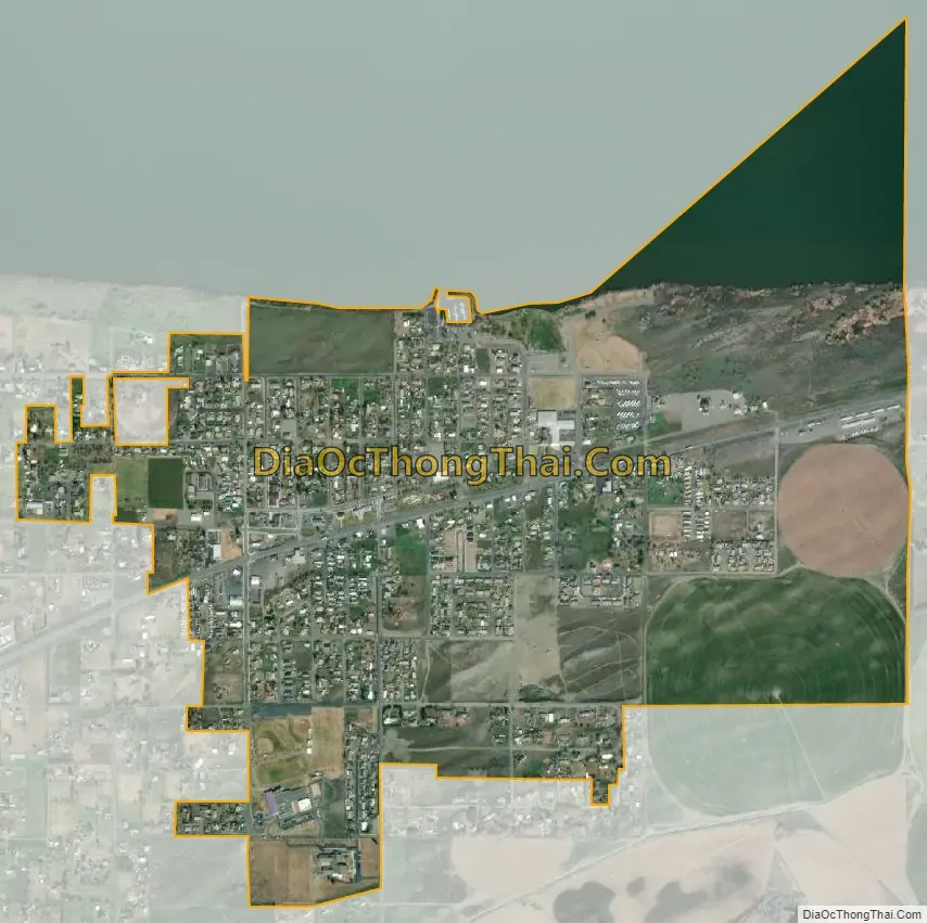
Irrigon city Satellite Map
Geography
According to the United States Census Bureau, the city has a total area of 1.45 square miles (3.76 km), of which, 1.30 square miles (3.37 km) is land and 0.15 square miles (0.39 km) is water.
Climate
According to the Köppen Climate Classification system, Irrigon has a semi-arid climate, abbreviated “BSk” on climate maps.
See also
Map of Oregon State and its subdivision: Map of other states:- Alabama
- Alaska
- Arizona
- Arkansas
- California
- Colorado
- Connecticut
- Delaware
- District of Columbia
- Florida
- Georgia
- Hawaii
- Idaho
- Illinois
- Indiana
- Iowa
- Kansas
- Kentucky
- Louisiana
- Maine
- Maryland
- Massachusetts
- Michigan
- Minnesota
- Mississippi
- Missouri
- Montana
- Nebraska
- Nevada
- New Hampshire
- New Jersey
- New Mexico
- New York
- North Carolina
- North Dakota
- Ohio
- Oklahoma
- Oregon
- Pennsylvania
- Rhode Island
- South Carolina
- South Dakota
- Tennessee
- Texas
- Utah
- Vermont
- Virginia
- Washington
- West Virginia
- Wisconsin
- Wyoming