Ione is a city in Morrow County, Oregon, United States. The population was 329 at the 2010 census. It is part of the Pendleton–Hermiston Micropolitan Statistical Area.
| Name: | Ione city |
|---|---|
| LSAD Code: | 25 |
| LSAD Description: | city (suffix) |
| State: | Oregon |
| County: | Morrow County |
| Incorporated: | 1903 |
| Elevation: | 1,089 ft (332 m) |
| Total Area: | 0.76 sq mi (1.96 km²) |
| Land Area: | 0.76 sq mi (1.96 km²) |
| Water Area: | 0.00 sq mi (0.00 km²) |
| Total Population: | 337 |
| Population Density: | 444.01/sq mi (171.51/km²) |
| ZIP code: | 97843 |
| Area code: | 458 and 541 |
| FIPS code: | 4136400 |
| GNISfeature ID: | 1123365 |
Online Interactive Map
Click on ![]() to view map in "full screen" mode.
to view map in "full screen" mode.
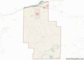
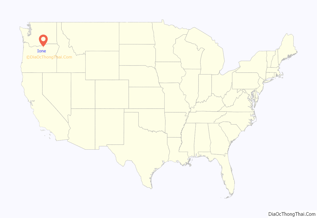
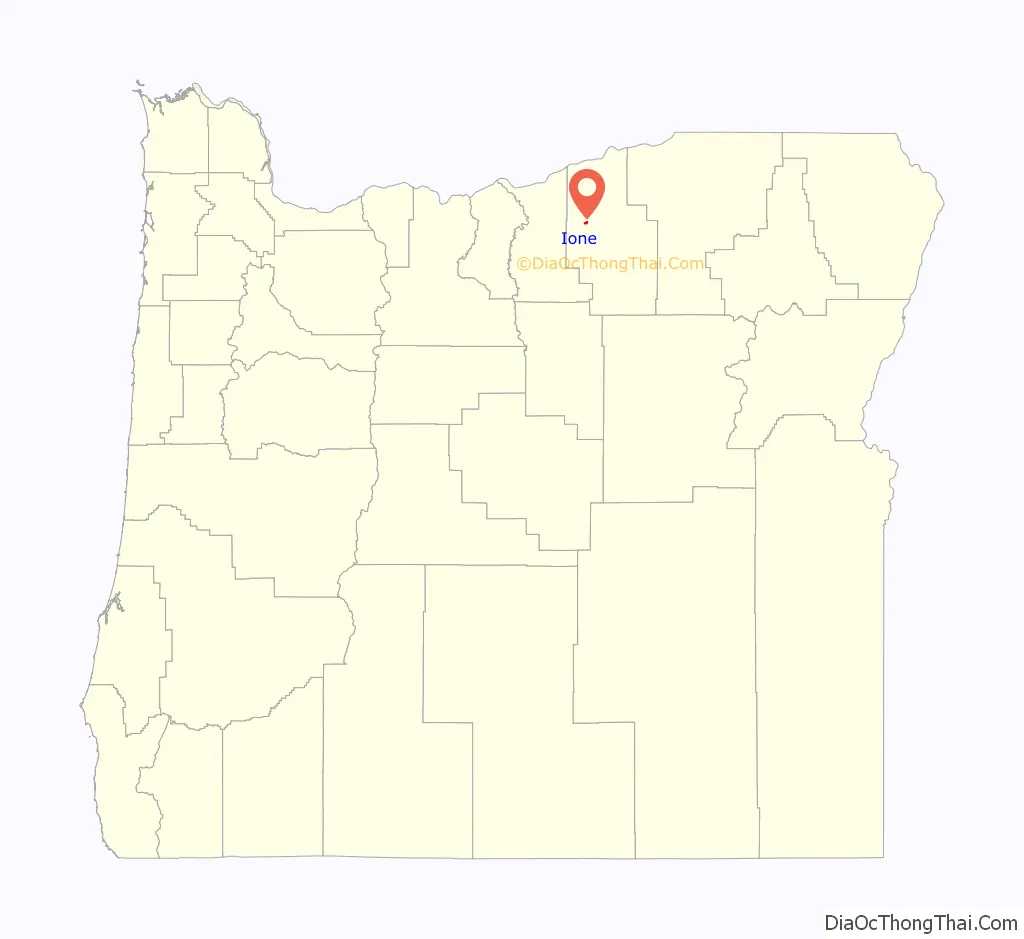
Ione location map. Where is Ione city?
History
In 1883, landowner E. G. Sperry named the community Ione after Ione Arthur, a girl who was visiting the Sperrys with her family. Aaron Royse managed the first store in Ione, and he became the first postmaster when an Ione post office was established in 1884.
Sheep ranching was important in the region during the days of early settlement by non-natives. It continues in the 21st century and has been joined by wheat farming and cattle ranching as significant uses of the land.
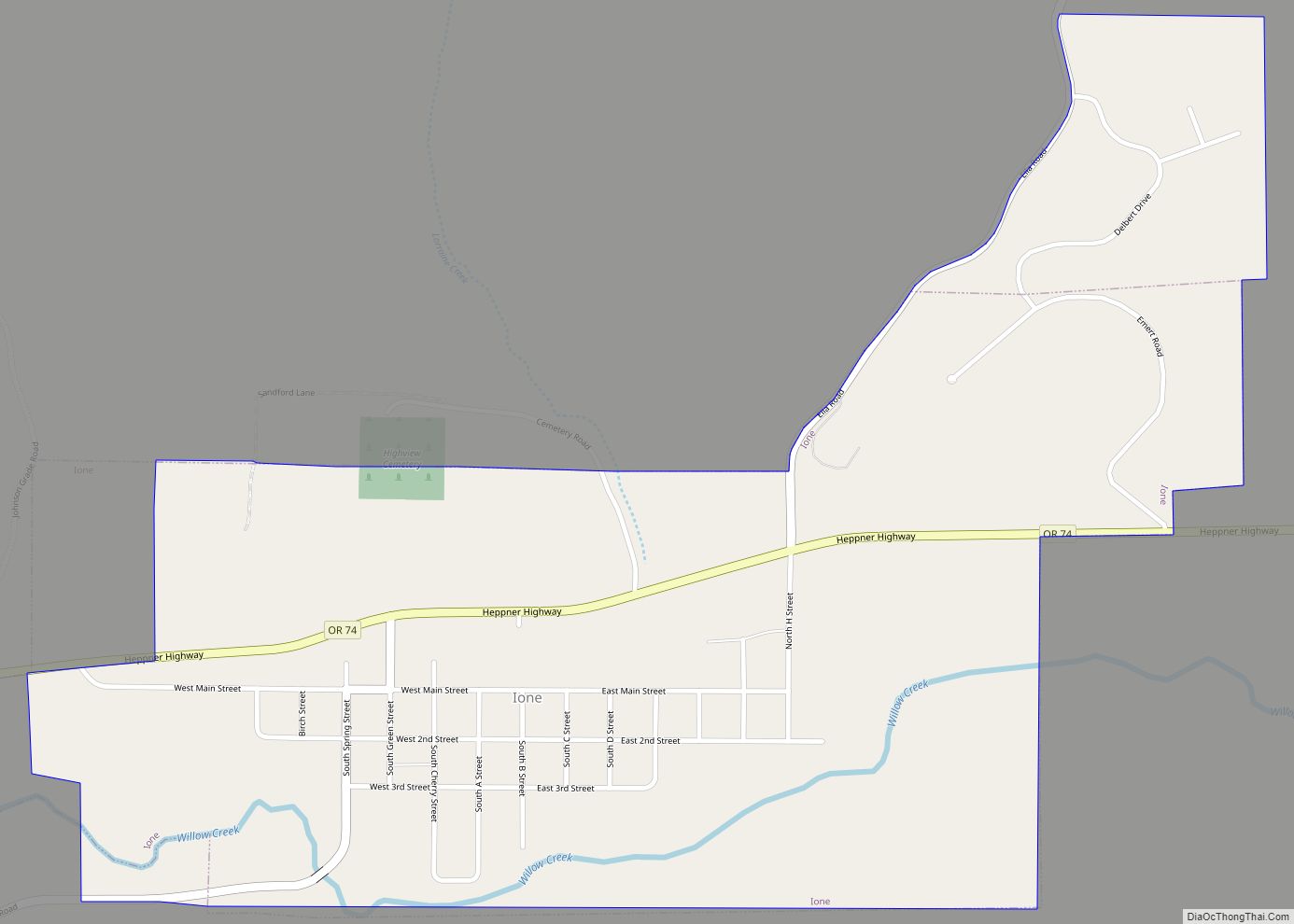
Ione Road Map

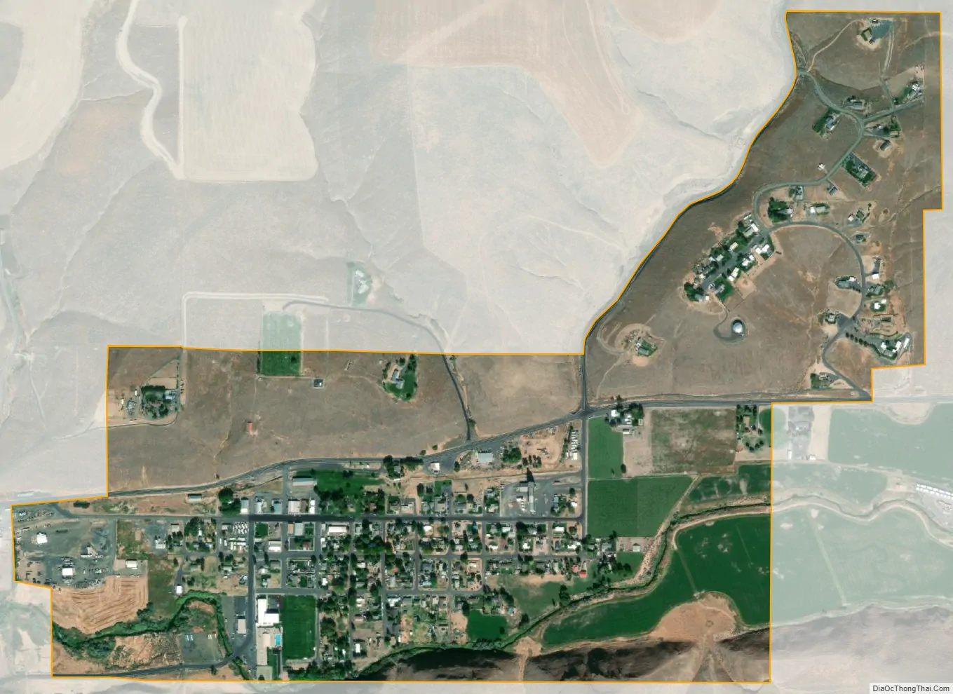
Ione city Satellite Map
Geography
Ione is at an elevation of 1,089 feet (332 m) between the Columbia River to the north and the Blue Mountains to the southeast. It is along Oregon Route 74, 18 miles (29 km) northwest of Heppner, 27 miles (43 km) south of Interstate 84 (I-84), and 173 miles (278 km) east of Portland.
Willow Creek flows through Ione, which is downstream of Heppner and Lexington and upstream of Arlington. According to the United States Census Bureau, the city has a total area of 0.65 square miles (1.68 km), all of it land.
Route 74 forms part of the Blue Mountain Scenic Byway, a 130-mile (210 km) set of roads connecting I-84 along the Columbia River with the North Fork John Day River in the Blue Mountains. Part of the route follows the Willow Creek drainage through Ione.
Climate
This region experiences warm (but not hot) and dry summers, with no average monthly temperatures above 71.6 °F (22.0 °C). According to the Köppen climate classification system, Ione has a warm-summer Mediterranean climate, Csb on climate maps.
See also
Map of Oregon State and its subdivision: Map of other states:- Alabama
- Alaska
- Arizona
- Arkansas
- California
- Colorado
- Connecticut
- Delaware
- District of Columbia
- Florida
- Georgia
- Hawaii
- Idaho
- Illinois
- Indiana
- Iowa
- Kansas
- Kentucky
- Louisiana
- Maine
- Maryland
- Massachusetts
- Michigan
- Minnesota
- Mississippi
- Missouri
- Montana
- Nebraska
- Nevada
- New Hampshire
- New Jersey
- New Mexico
- New York
- North Carolina
- North Dakota
- Ohio
- Oklahoma
- Oregon
- Pennsylvania
- Rhode Island
- South Carolina
- South Dakota
- Tennessee
- Texas
- Utah
- Vermont
- Virginia
- Washington
- West Virginia
- Wisconsin
- Wyoming