Rickreall (/ˈrɪkriɔːl/ RIK-ree-awl) is an unincorporated community in Polk County, Oregon, United States. For statistical purposes, the United States Census Bureau has defined Rickreall as a census-designated place (CDP). The census definition of the area may not precisely correspond to local understanding of the area with the same name. The population of the CDP was 76 at the 2020 census. Rickreall is part of the Salem Metropolitan Statistical Area. Rickreall Creek runs along the community’s southern edge.
| Name: | Rickreall CDP |
|---|---|
| LSAD Code: | 57 |
| LSAD Description: | CDP (suffix) |
| State: | Oregon |
| County: | Polk County |
| Elevation: | 210 ft (64 m) |
| Total Area: | 0.17 sq mi (0.44 km²) |
| Land Area: | 0.17 sq mi (0.44 km²) |
| Water Area: | 0.00 sq mi (0.00 km²) |
| Total Population: | 76 |
| Population Density: | 444.44/sq mi (171.45/km²) |
| ZIP code: | 97371 |
| Area code: | 503 |
| FIPS code: | 4161800 |
| GNISfeature ID: | 1163222 |
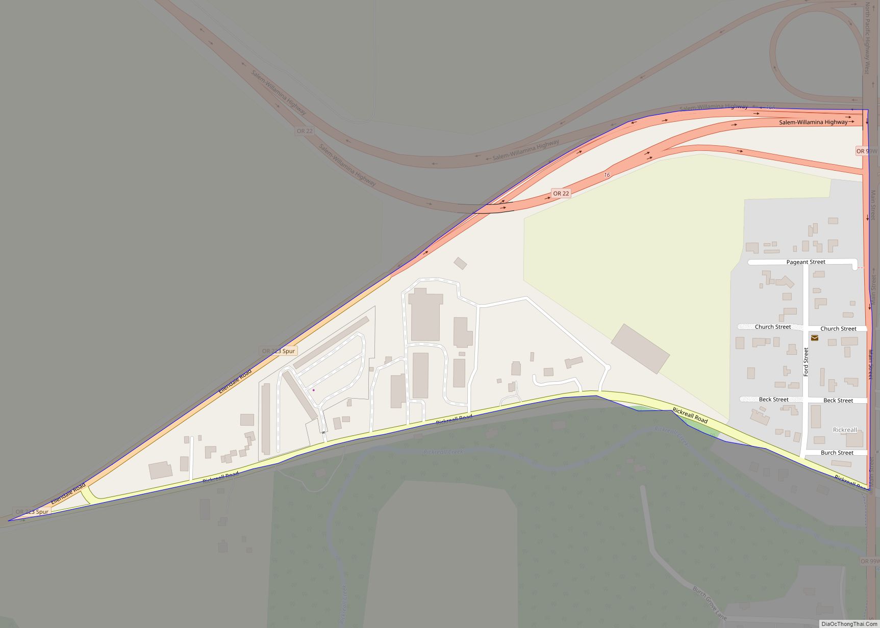
Online Interactive Map
Click on ![]() to view map in "full screen" mode.
to view map in "full screen" mode.
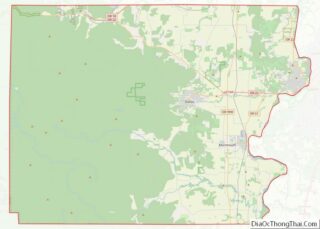
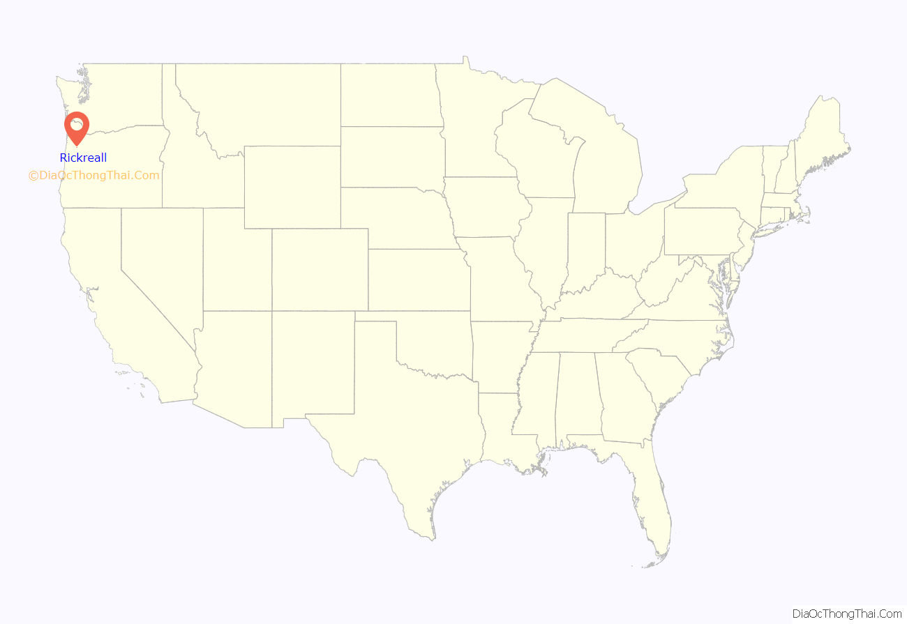
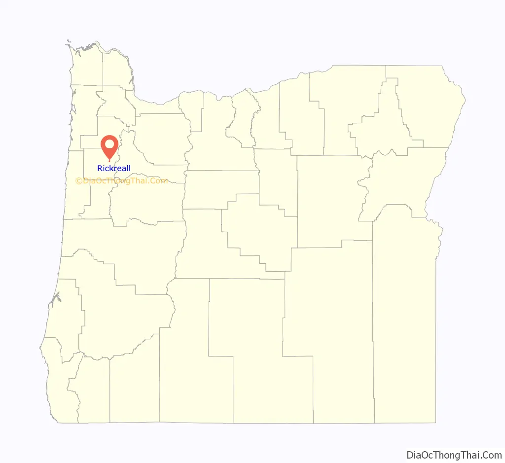
Rickreall location map. Where is Rickreall CDP?
History
“Rickreal” post office was established in 1851 with Nathaniel Ford as postmaster. It was discontinued in 1857, but reestablished in 1866 with the spelling “Rickreall”. Ford was again postmaster. The office has continued to operate to the present day. Rickreall was often referred to as Dixie during the Civil War and for some time after, because of the Southern sympathies of the local populace. Dixie was never the official name of the community or the post office.
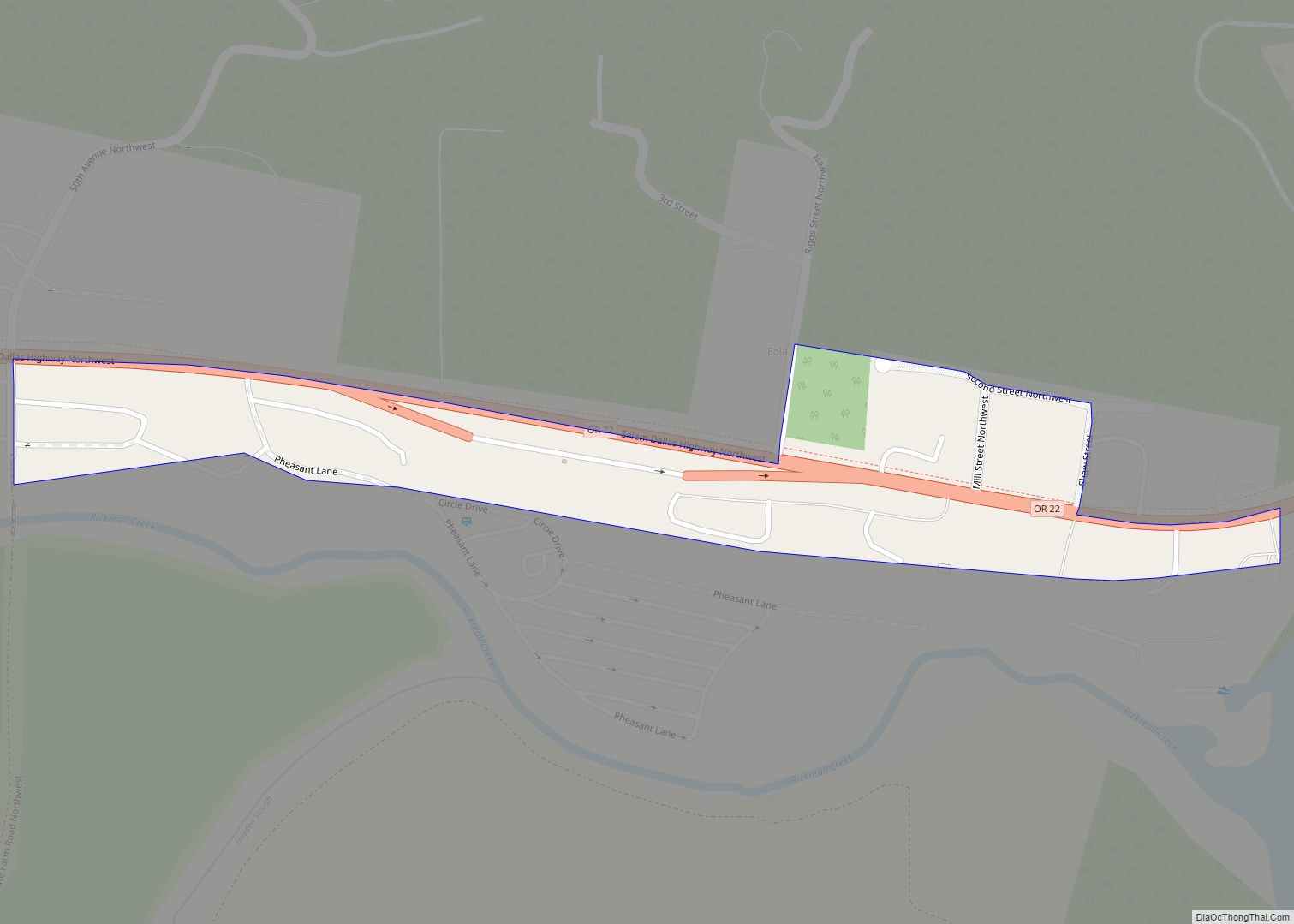
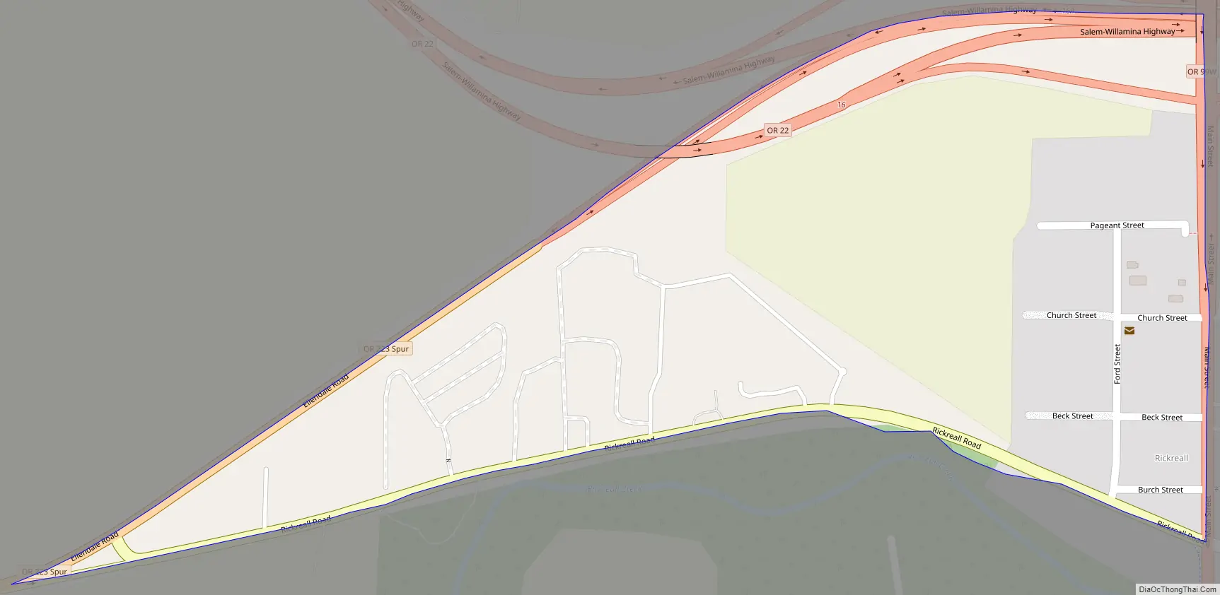
Rickreall Road Map
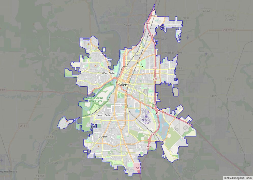
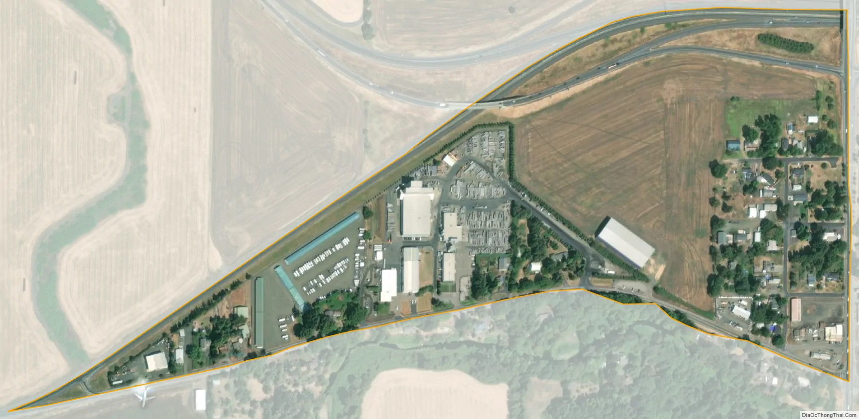
Rickreall city Satellite Map
Geography
According to the United States Census Bureau, the CDP has a total area of 0.2 square miles (0.52 km), all of it land.
See also
Map of Oregon State and its subdivision: Map of other states:- Alabama
- Alaska
- Arizona
- Arkansas
- California
- Colorado
- Connecticut
- Delaware
- District of Columbia
- Florida
- Georgia
- Hawaii
- Idaho
- Illinois
- Indiana
- Iowa
- Kansas
- Kentucky
- Louisiana
- Maine
- Maryland
- Massachusetts
- Michigan
- Minnesota
- Mississippi
- Missouri
- Montana
- Nebraska
- Nevada
- New Hampshire
- New Jersey
- New Mexico
- New York
- North Carolina
- North Dakota
- Ohio
- Oklahoma
- Oregon
- Pennsylvania
- Rhode Island
- South Carolina
- South Dakota
- Tennessee
- Texas
- Utah
- Vermont
- Virginia
- Washington
- West Virginia
- Wisconsin
- Wyoming