Seneca is a city in Grant County, Oregon, United States. It is located in the Blue Mountains about 23 miles (37 km) south of Canyon City, on U.S. Route 395, on the edge of the Malheur National Forest. The population was 199 at the 2010 census.
| Name: | Seneca city |
|---|---|
| LSAD Code: | 25 |
| LSAD Description: | city (suffix) |
| State: | Oregon |
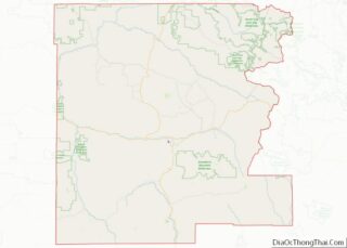
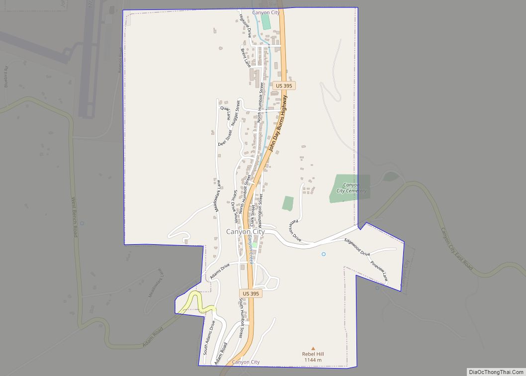
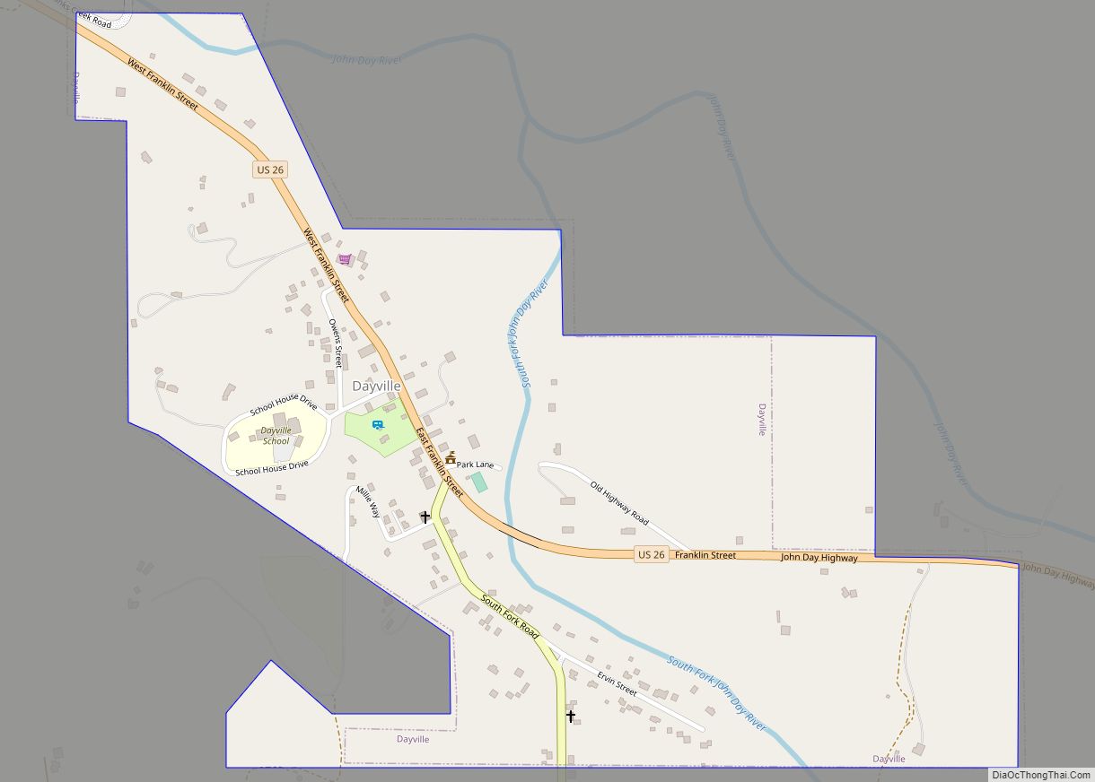
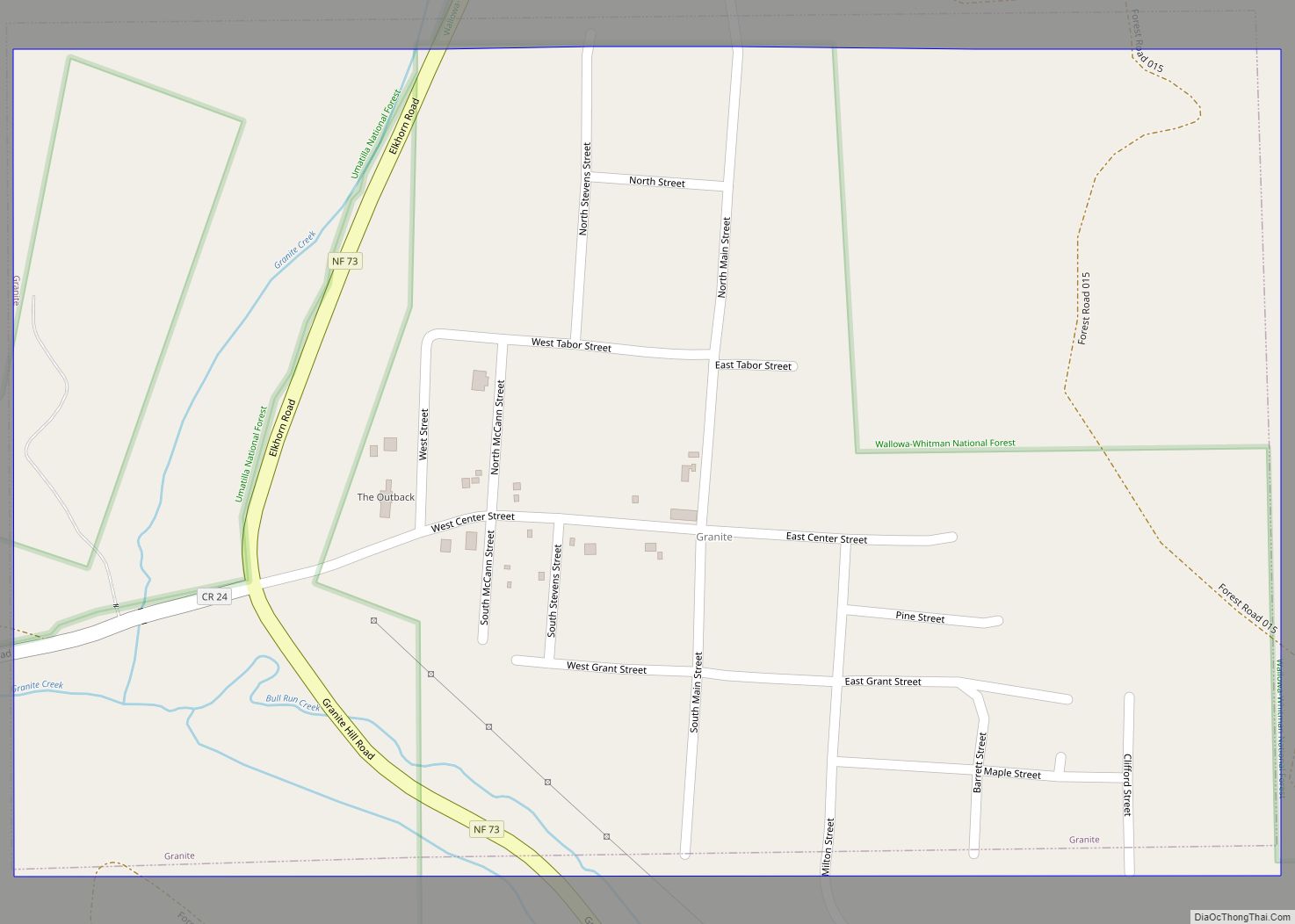
| County: | Grant County |
| Incorporated: | 1970 |
| Elevation: | 4,690 ft (1,430 m) |
| Total Area: | 0.80 sq mi (2.06 km²) |
| Land Area: | 0.80 sq mi (2.06 km²) |
| Water Area: | 0.00 sq mi (0.00 km²) |
| Total Population: | 165 |
| Population Density: | 207.55/sq mi (80.14/km²) |
| ZIP code: | 97873 |
| Area code: | 541 |
| FIPS code: | 4166200 |
| GNISfeature ID: | 1149228 |
Online Interactive Map
Click on ![]() to view map in "full screen" mode.
to view map in "full screen" mode.
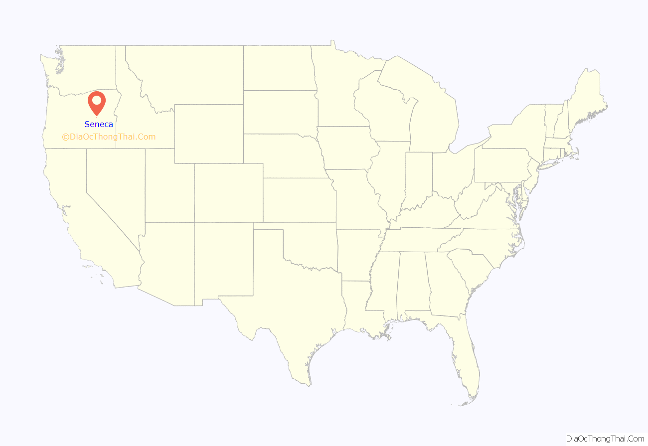
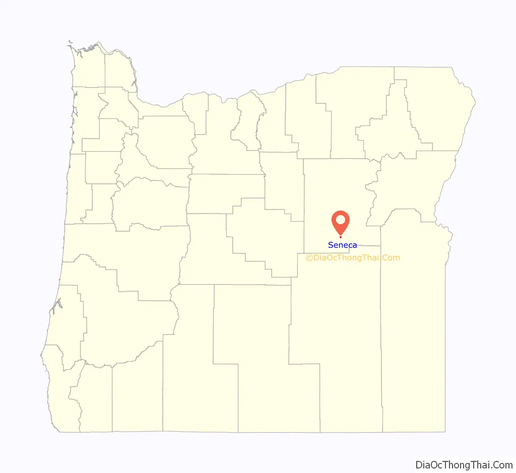
Seneca location map. Where is Seneca city?
History
Seneca post office was established in 1895 and named by postmaster Minnie Southworth for her brother-in-law, prominent Portland judge Seneca Smith.
While early homesteaders moved into the valley in the late 1800s, Seneca only began growing in the 1929 when it became the northern terminus of the now-vacated Oregon and Northwestern Railroad, owned by the Edward Hines Lumber Company, which extended south to Burns. At that time, large-scale shipping of Ponderosa Pine logs from Seneca and the surrounding national forest began to the Hines sawmill in Hines. The company established a planing mill and railroad shops in Seneca, and it became essentially a company town. In 1940 Seneca’s population was 275. Logging in the area began to decline in the 1970s, and the Hines company ceased operations of its lumber mills and railroad in 1984. The town was incorporated as a city in 1970 as lumber company control began to wane. According to the 1980 census, Seneca’s population was 285. The estimated population in 2007 was 270.
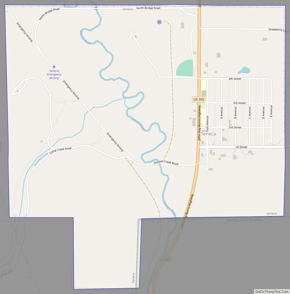
Seneca Road Map
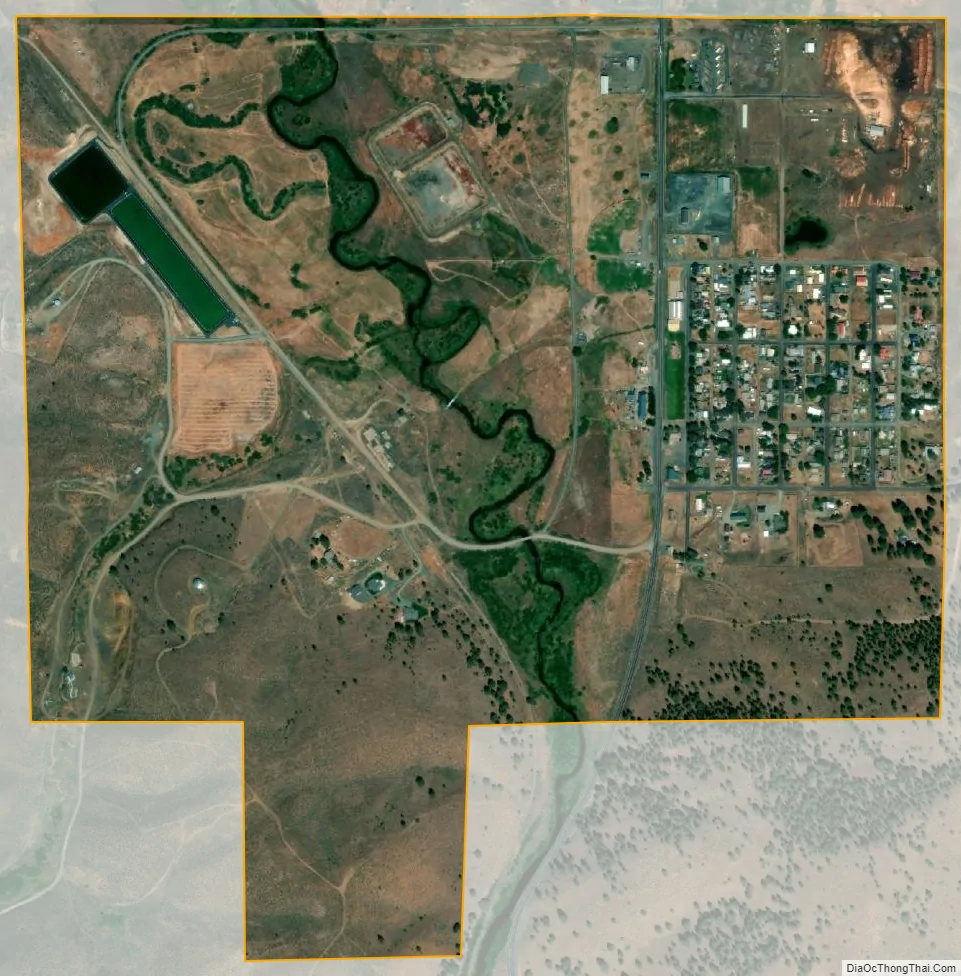
Seneca city Satellite Map
Geography
According to the United States Census Bureau, the city has a total area of 0.80 square miles (2.07 km), all land.
Situated at the confluence of Bear Creek and the Silvies River, Seneca is in Bear Valley at the northern edge of the Great Basin.
Climate
Seneca has a semi-arid influenced subarctic climate (Köppen climate classification Dsc) with warm daytime temperatures in summer and cool to cold nighttime temperatures all year. Average high temperatures throughout the year are relatively mild for a subarctic climate. It is right on the border of the regular semi-arid continental climate with the fourth warmest month of the year straddling 50 °F (10 °C).
Seneca experiences the coolest weather in Grant County and has the distinction of the coldest official temperature recorded in Oregon: −54 °F (−48 °C) in 1933.
See also
Map of Oregon State and its subdivision: Map of other states:- Alabama
- Alaska
- Arizona
- Arkansas
- California
- Colorado
- Connecticut
- Delaware
- District of Columbia
- Florida
- Georgia
- Hawaii
- Idaho
- Illinois
- Indiana
- Iowa
- Kansas
- Kentucky
- Louisiana
- Maine
- Maryland
- Massachusetts
- Michigan
- Minnesota
- Mississippi
- Missouri
- Montana
- Nebraska
- Nevada
- New Hampshire
- New Jersey
- New Mexico
- New York
- North Carolina
- North Dakota
- Ohio
- Oklahoma
- Oregon
- Pennsylvania
- Rhode Island
- South Carolina
- South Dakota
- Tennessee
- Texas
- Utah
- Vermont
- Virginia
- Washington
- West Virginia
- Wisconsin
- Wyoming