Shady Cove is a city in Jackson County, Oregon, United States. The population was 2,904 at the 2010 census.
| Name: | Shady Cove city |
|---|---|
| LSAD Code: | 25 |
| LSAD Description: | city (suffix) |
| State: | Oregon |
| County: | Jackson County |
| Incorporated: | 1972 |
| Elevation: | 1,406 ft (428.6 m) |
| Total Area: | 2.05 sq mi (5.30 km²) |
| Land Area: | 1.95 sq mi (5.04 km²) |
| Water Area: | 0.10 sq mi (0.26 km²) |
| Total Population: | 3,081 |
| Population Density: | 1,583.25/sq mi (611.26/km²) |
| ZIP code: | 97539 |
| Area code: | 541 |
| FIPS code: | 4166550 |
| GNISfeature ID: | 1158474 |
| Website: | www.shadycove.org |
Online Interactive Map
Click on ![]() to view map in "full screen" mode.
to view map in "full screen" mode.
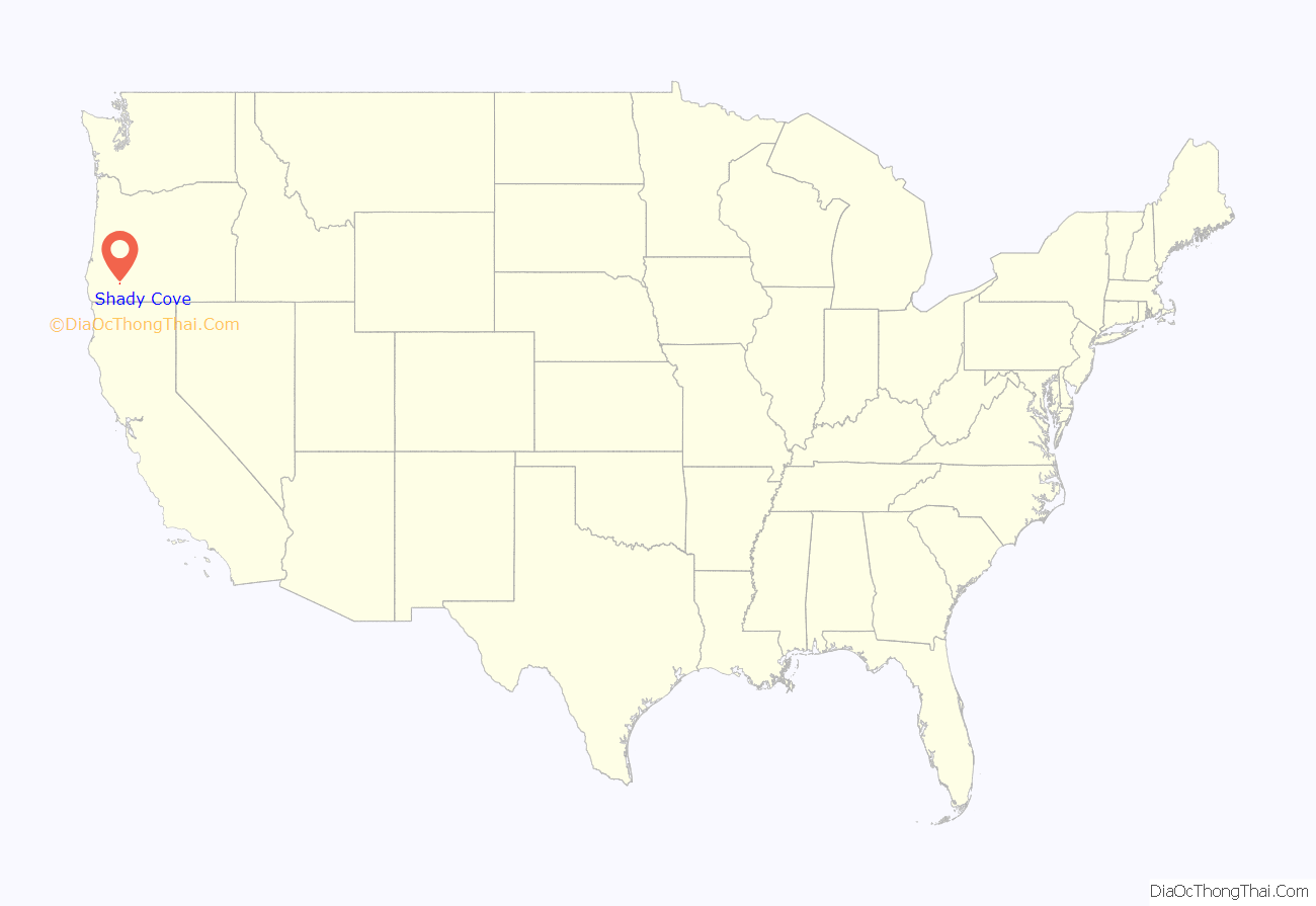
Shady Cove location map. Where is Shady Cove city?
History
The city of Shady Cove was incorporated in 1973. Before that, the nearby towns of Trail to the north and Eagle Point to the south were the historic population centers. Etna, the town’s precursor, lay between.
Settlers started moving into the area, spreading out from Trail, in the 1870s. In 1882, the post stopped in Etna for the first time, though the Postal Service did not establish an office in a place called Shady Cove until September 12, 1939, a Mrs. Lillian Hukill as postmistress. The city’s name has no clear origin. It is possible that a man named Barnes established a town site he called “The Cove”. However, according to Barbara Hegne, a local historian, the name for Shady Cove came from a speculative operation by some Medford businessmen. They bought some land for summer homes on the east side of the river and called their business the “Shady Cove Country Club”.
The first bridge over the Rogue River in Shady Cove was built in 1921 and washed away by the Christmas flood of 1964. The already above-average rainfall for the year was followed by a historic warm-temperature storm, called a Pineapple Express. According to a local resident, the bridge was knocked out by a log jam started when an old growth Douglas fir was trapped by rising waters against the steel of the bridge. The structure held for roughly seven hours as logs piled up behind it until nine in the evening on December 23, when the bridge washed away. The Dodge and Touvelle bridges further downstream were both damaged, and there was no easy way to get into the town until the placement of a temporary Bailey bridge three months later. Initially, the Shady Cove School functioned as a refuge and a food distribution point. The flood control dam at Lost Creek Lake was installed in 1977 to mitigate future catastrophic flooding.
Shady Cove Road Map
Shady Cove city Satellite Map
Geography
Shady Cove is in northern Jackson County, on both sides of the Rogue River. Oregon Route 62 is the main road through the community, leading north 2 miles (3 km) to Trail and south 21 miles (34 km) to Medford, the Jackson county seat. The west boundary of Crater Lake National Park is 43 miles (69 km) to the northeast via Route 62.
According to the United States Census Bureau, Shady Cove has a total area of 2.01 square miles (5.21 km), of which 1.91 square miles (4.95 km) is land and 0.10 square miles (0.26 km) is water.
See also
Map of Oregon State and its subdivision: Map of other states:- Alabama
- Alaska
- Arizona
- Arkansas
- California
- Colorado
- Connecticut
- Delaware
- District of Columbia
- Florida
- Georgia
- Hawaii
- Idaho
- Illinois
- Indiana
- Iowa
- Kansas
- Kentucky
- Louisiana
- Maine
- Maryland
- Massachusetts
- Michigan
- Minnesota
- Mississippi
- Missouri
- Montana
- Nebraska
- Nevada
- New Hampshire
- New Jersey
- New Mexico
- New York
- North Carolina
- North Dakota
- Ohio
- Oklahoma
- Oregon
- Pennsylvania
- Rhode Island
- South Carolina
- South Dakota
- Tennessee
- Texas
- Utah
- Vermont
- Virginia
- Washington
- West Virginia
- Wisconsin
- Wyoming
