Stanfield (English: /ˈstænfiːld/) is a city in Umatilla County, Oregon, United States. The population was 2,043 at the 2010 census. It is part of the Pendleton–Hermiston Micropolitan Statistical Area.
| Name: | Stanfield city |
|---|---|
| LSAD Code: | 25 |
| LSAD Description: | city (suffix) |
| State: | Oregon |
| County: | Umatilla County |
| Incorporated: | 1910 |
| Elevation: | 592 ft (180 m) |
| Total Area: | 1.73 sq mi (4.47 km²) |
| Land Area: | 1.73 sq mi (4.47 km²) |
| Water Area: | 0.00 sq mi (0.00 km²) |
| Total Population: | 2,144 |
| Population Density: | 1,241.46/sq mi (479.37/km²) |
| ZIP code: | 97875 |
| Area code: | 541 |
| FIPS code: | 4169900 |
| GNISfeature ID: | 1136780 |
Online Interactive Map
Click on ![]() to view map in "full screen" mode.
to view map in "full screen" mode.
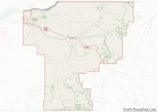
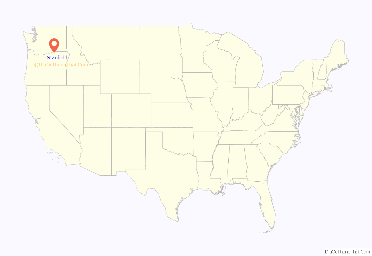
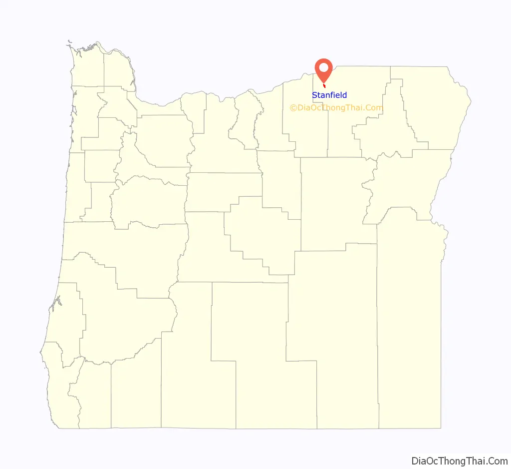
Stanfield location map. Where is Stanfield city?
History
The location was originally named “Foster” for John R. Foster, of Portland, who was an associate of Allen & Lewis. The firm had interests in the Umatilla area and purchased 4,000 acres northeast of Echo. They established a large ranch there and a store and small community followed; they were all named for Foster. In 1882, the Oregon Railway & Navigation Company siding and stop was named “Fosters”. A post office with the name of Foster was established in 1883; the name was changed to Stanfield in 1909 for Robert N. Stanfield Jr., who later became a U.S. senator from Oregon.
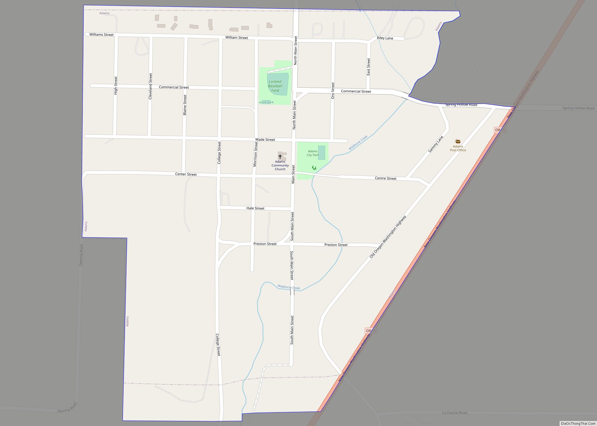
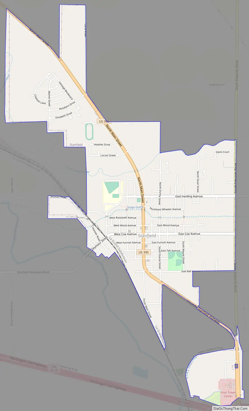
Stanfield Road Map
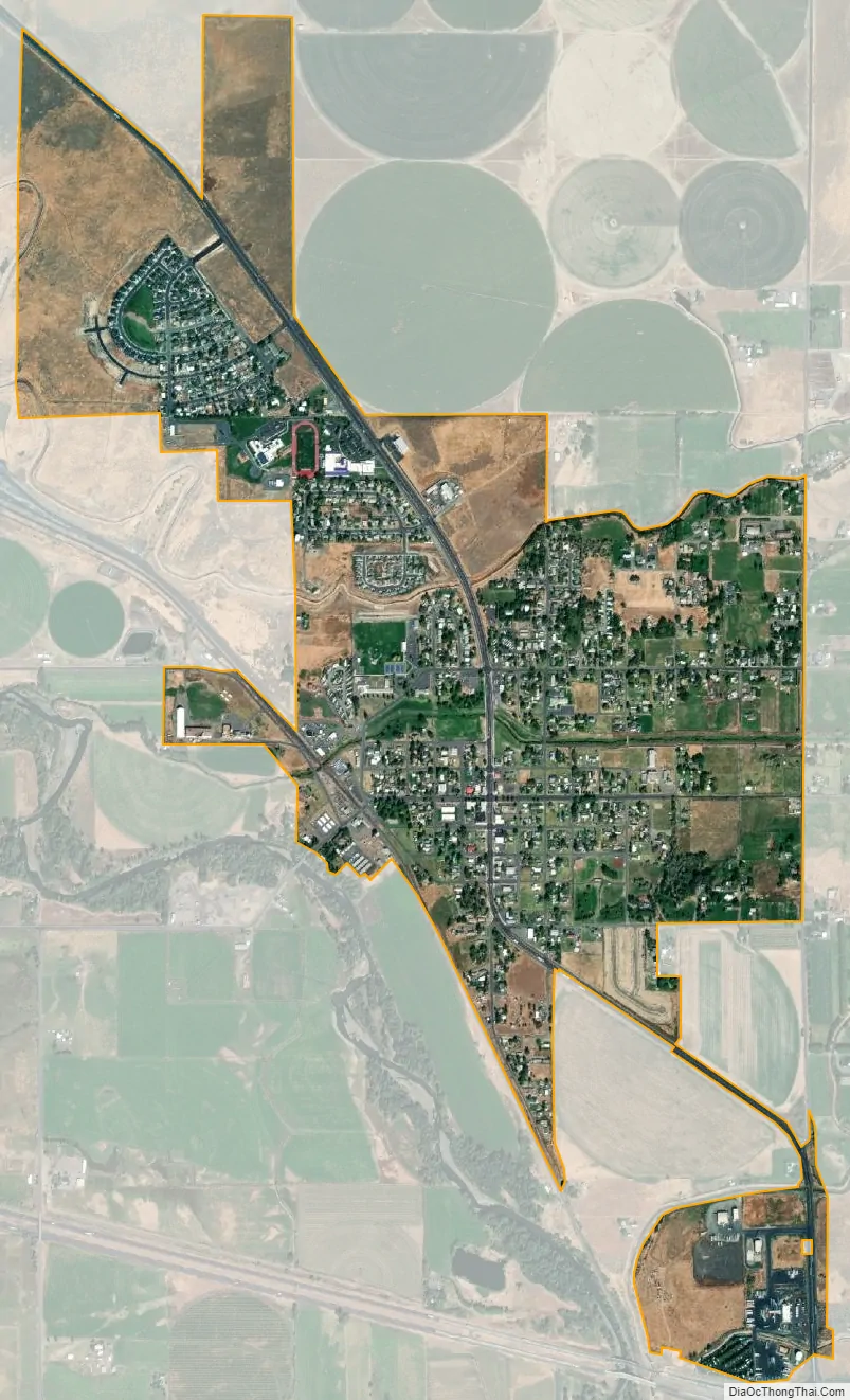
Stanfield city Satellite Map
Geography
According to the United States Census Bureau, the city has a total area of 1.53 square miles (3.96 km), all of it land.
See also
Map of Oregon State and its subdivision: Map of other states:- Alabama
- Alaska
- Arizona
- Arkansas
- California
- Colorado
- Connecticut
- Delaware
- District of Columbia
- Florida
- Georgia
- Hawaii
- Idaho
- Illinois
- Indiana
- Iowa
- Kansas
- Kentucky
- Louisiana
- Maine
- Maryland
- Massachusetts
- Michigan
- Minnesota
- Mississippi
- Missouri
- Montana
- Nebraska
- Nevada
- New Hampshire
- New Jersey
- New Mexico
- New York
- North Carolina
- North Dakota
- Ohio
- Oklahoma
- Oregon
- Pennsylvania
- Rhode Island
- South Carolina
- South Dakota
- Tennessee
- Texas
- Utah
- Vermont
- Virginia
- Washington
- West Virginia
- Wisconsin
- Wyoming