Talent is a city in Jackson County, Oregon, United States. The population was 6,282 at the 2020 census.
| Name: | Talent city |
|---|---|
| LSAD Code: | 25 |
| LSAD Description: | city (suffix) |
| State: | Oregon |
| County: | Jackson County |
| Incorporated: | 1910 |
| Elevation: | 1,635 ft (498 m) |
| Total Area: | 1.33 sq mi (3.44 km²) |
| Land Area: | 1.33 sq mi (3.44 km²) |
| Water Area: | 0.00 sq mi (0.00 km²) |
| Total Population: | 6,282 |
| Population Density: | 4,723.31/sq mi (1,823.72/km²) |
| ZIP code: | 97540 |
| Area code: | 541 |
| FIPS code: | 4172500 |
| GNISfeature ID: | 1150844 |
| Website: | cityoftalent.org |
Online Interactive Map
Click on ![]() to view map in "full screen" mode.
to view map in "full screen" mode.
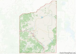
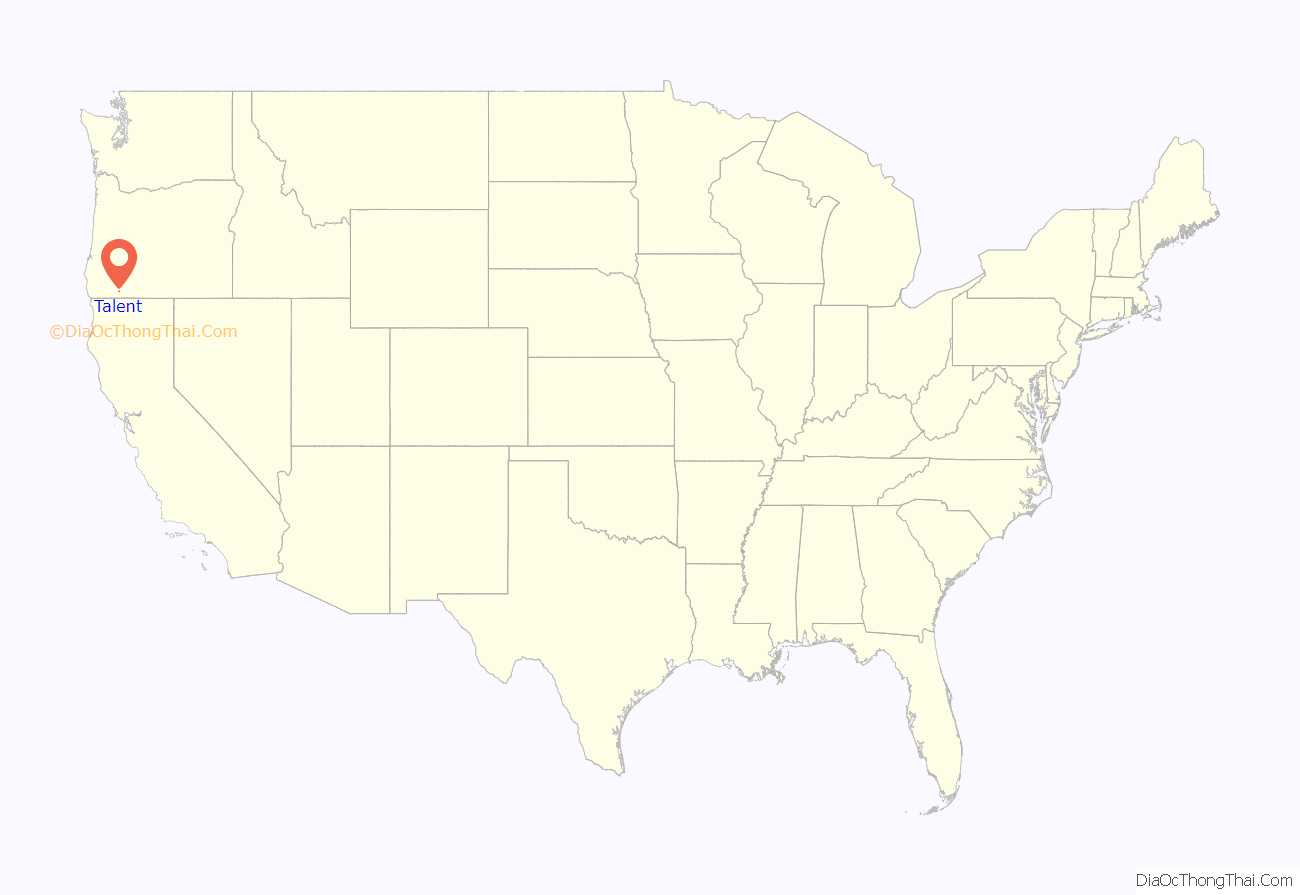
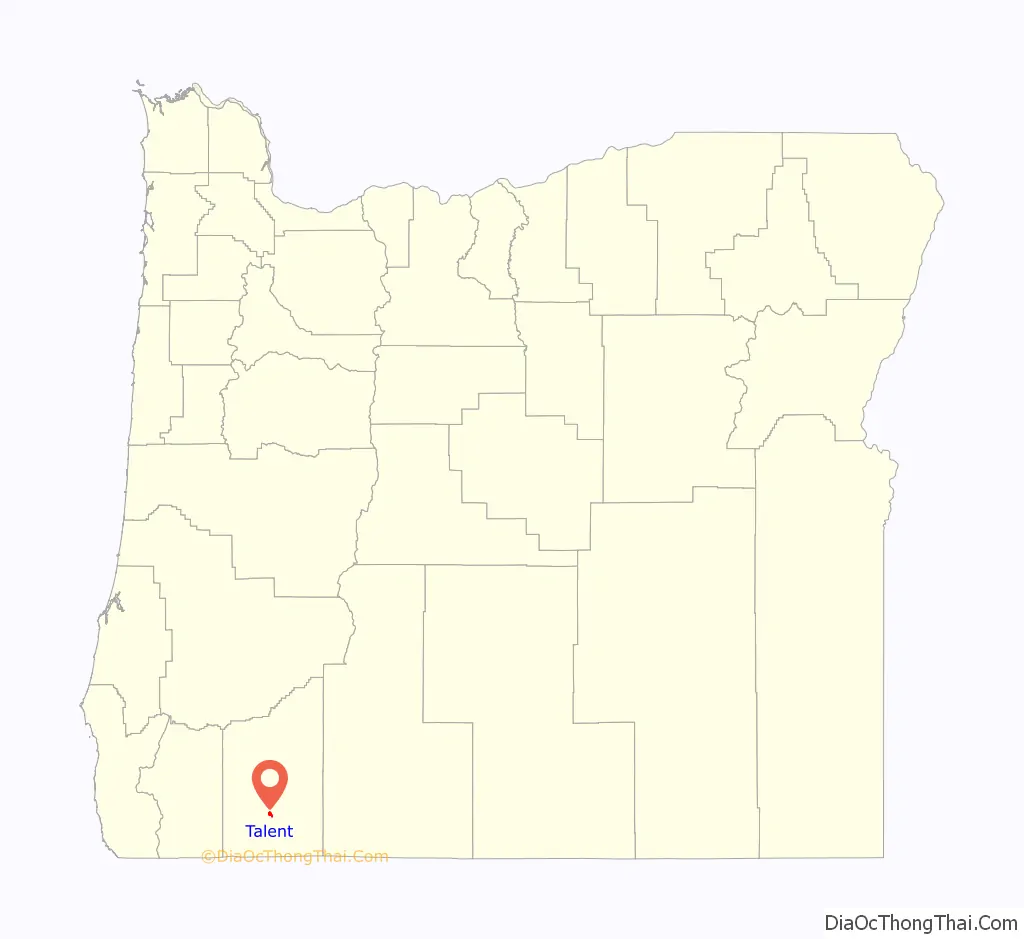
Talent location map. Where is Talent city?
History
A. P. Tallent, an East Tennessee native who settled in Oregon in the 1870s, platted the city in the 1880s. He wanted to name it Wagner but was overruled by postal officials, who preferred Talent, dropping one of the L’s. The post office opened at this location in 1883. Earlier names for the settlement were Eden District and Wagner Creek.
2020 fire
On September 8, 2020, roughly a third of Talent, along with neighboring Phoenix and parts of Medford and Ashland, were destroyed by the Almeda Drive Fire. On September 11, 2020, authorities said they were preparing for a mass fatality incident. As of September 11, 600 homes and 100 commercial buildings have been destroyed by the Almeda Drive Fire, but on September 18, that number was updated to 2,800. Officials stated that the Almeda Drive Fire was human-caused. On September 11, a man was arrested for arson, for allegedly starting a fire that destroyed multiple homes in Phoenix and merged with the Almeda Drive Fire. A separate criminal investigation into the origin point of the Almeda Drive Fire in Ashland is ongoing.
Talent Road Map

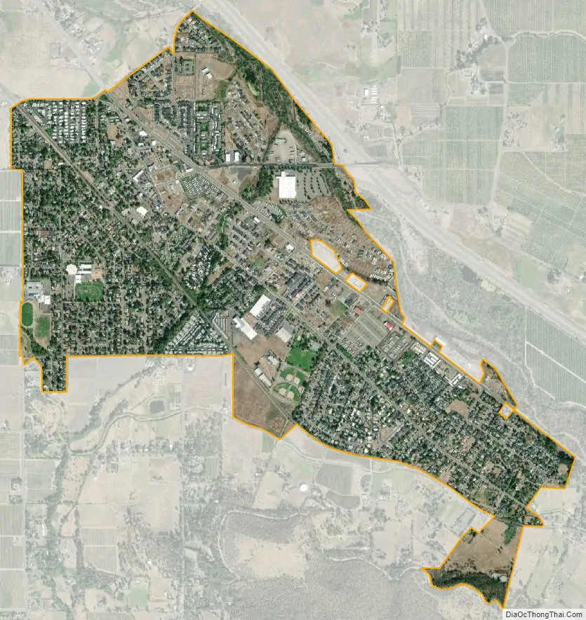
Talent city Satellite Map
Geography
According to the United States Census Bureau, the city has a total area of 1.33 square miles (3.44 km), all of it land.
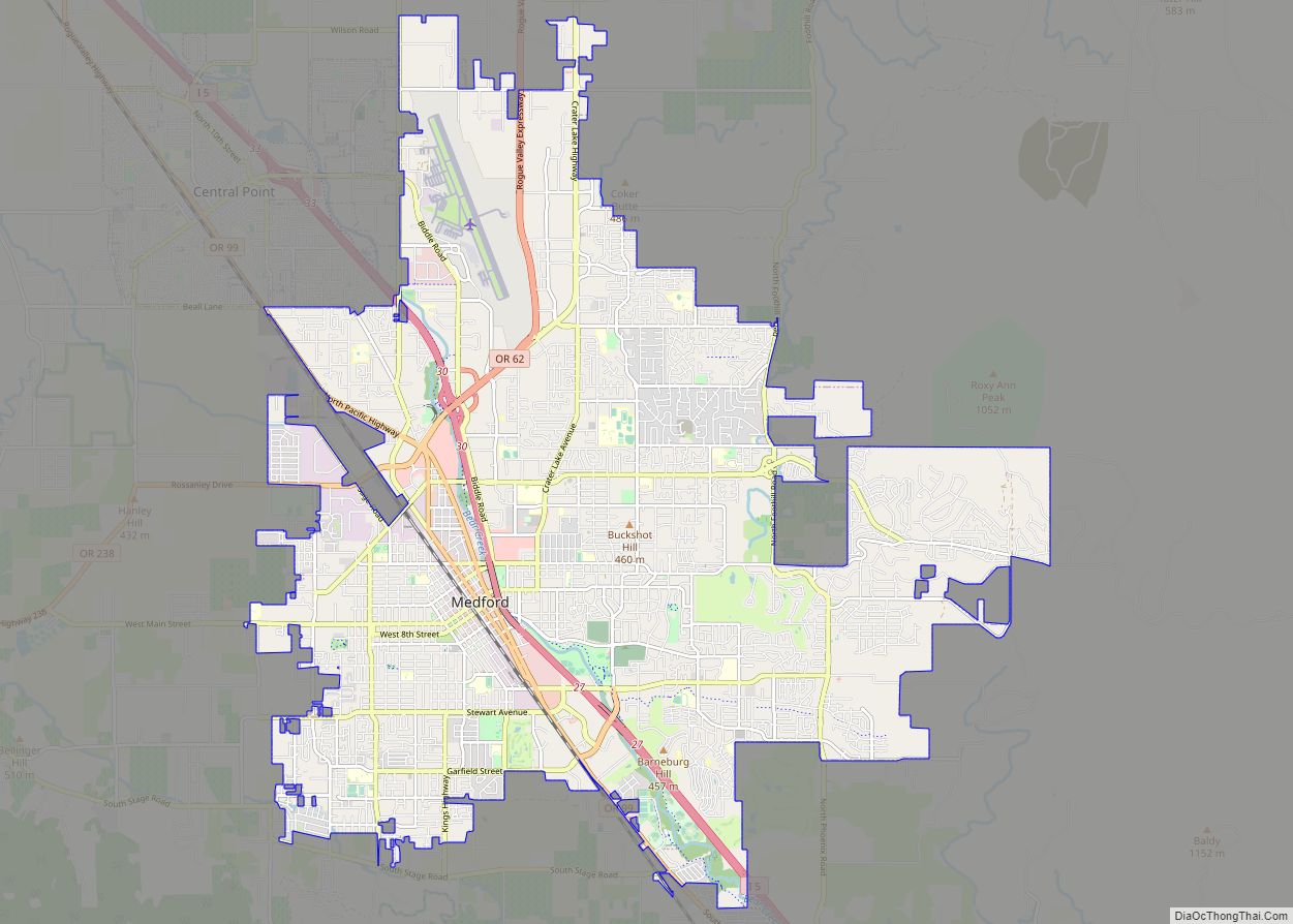
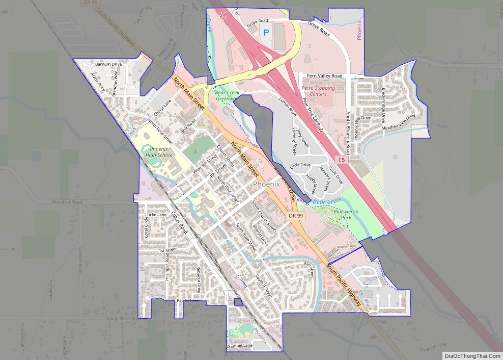
The city is south of Medford, about halfway between Phoenix, to the north, and Ashland, to the south, along Interstate 5 and Oregon Route 99. This is toward the southern end of the Rogue River Valley, near the Siskiyou Mountains and the border with California.
Wagner Creek, a tributary of Bear Creek, joins the larger stream at Talent. Wagner was the name of a family of pioneer settlers who lived here before Talent became a city. The Bear Creek Greenway, a biking and hiking trail connecting Ashland, Phoenix, Medford, and Central Point along Bear Creek, also passes through Talent.
Climate
This region experiences warm to hot and dry summers, with average temperatures above 81.6 °F (27.6 °C). According to the Köppen Climate Classification system, Talent has a warm-summer Mediterranean climate, abbreviated “Csb” on climate maps.
See also
Map of Oregon State and its subdivision: Map of other states:- Alabama
- Alaska
- Arizona
- Arkansas
- California
- Colorado
- Connecticut
- Delaware
- District of Columbia
- Florida
- Georgia
- Hawaii
- Idaho
- Illinois
- Indiana
- Iowa
- Kansas
- Kentucky
- Louisiana
- Maine
- Maryland
- Massachusetts
- Michigan
- Minnesota
- Mississippi
- Missouri
- Montana
- Nebraska
- Nevada
- New Hampshire
- New Jersey
- New Mexico
- New York
- North Carolina
- North Dakota
- Ohio
- Oklahoma
- Oregon
- Pennsylvania
- Rhode Island
- South Carolina
- South Dakota
- Tennessee
- Texas
- Utah
- Vermont
- Virginia
- Washington
- West Virginia
- Wisconsin
- Wyoming