Trail is a census-designated place and unincorporated community in Jackson County, Oregon, United States. As of the 2010 census it had a population of 702. It has a post office with a ZIP code of 97541.
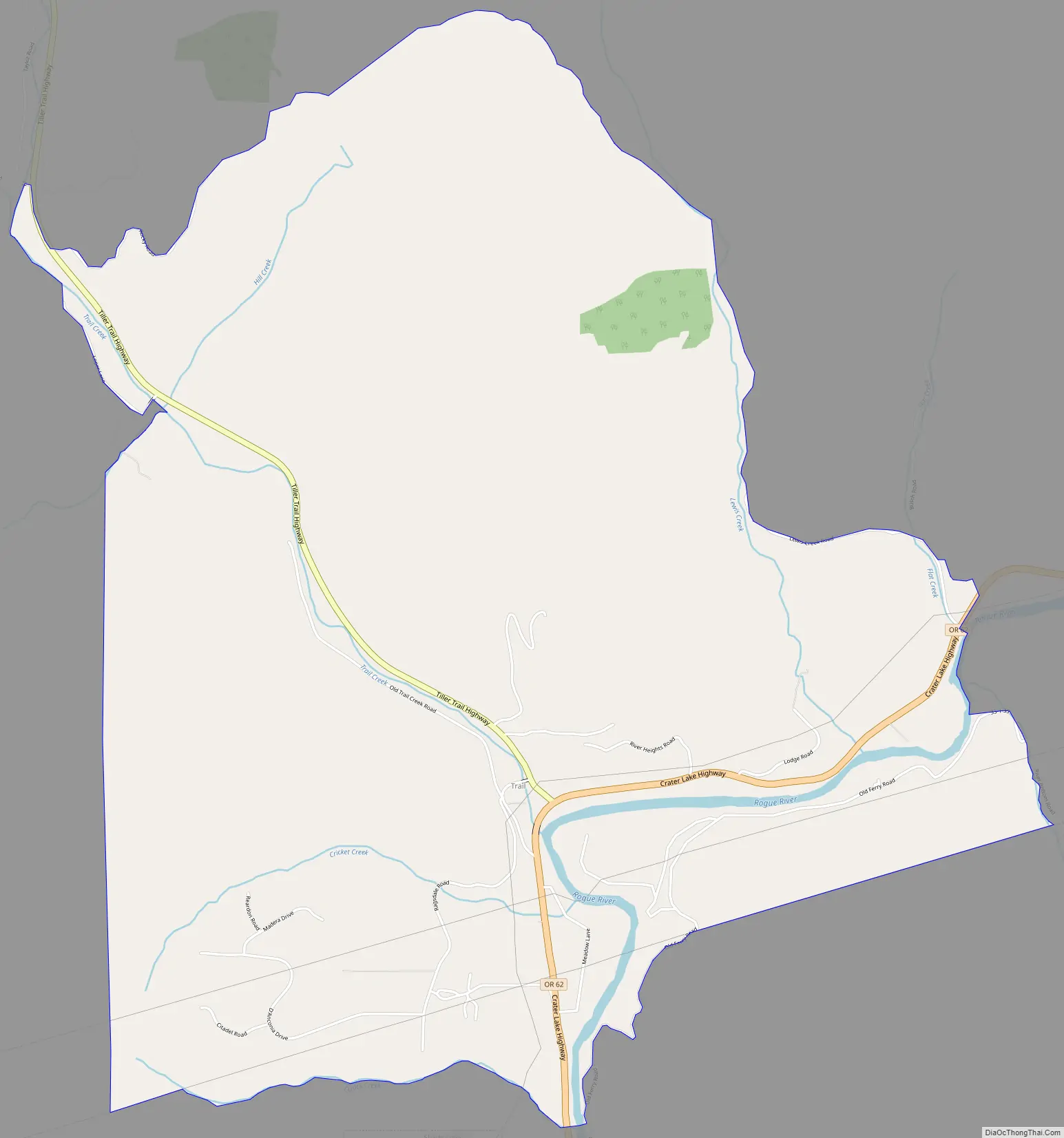
Trail lies at the intersection of Oregon Route 227 and Oregon Route 62, just north of Shady Cove and west of Lost Creek Lake, a reservoir of the Rogue River. Trail is located around the mouth of Trail Creek at the Rogue River.
| Name: | Trail CDP |
|---|---|
| LSAD Code: | 57 |
| LSAD Description: | CDP (suffix) |
| State: | Oregon |
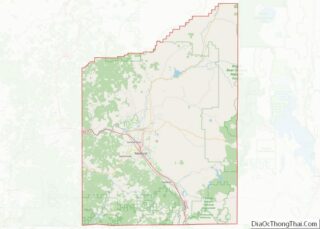
| County: | Jackson County |
| Elevation: | 1,430 ft (440 m) |
| Total Area: | 6.88 sq mi (17.83 km²) |
| Land Area: | 6.80 sq mi (17.62 km²) |
| Water Area: | 0.08 sq mi (0.21 km²) |
| Total Population: | 768 |
| Population Density: | 112.91/sq mi (43.59/km²) |
| ZIP code: | 97541 |
| FIPS code: | 4174400 |
| GNISfeature ID: | 1151362 |
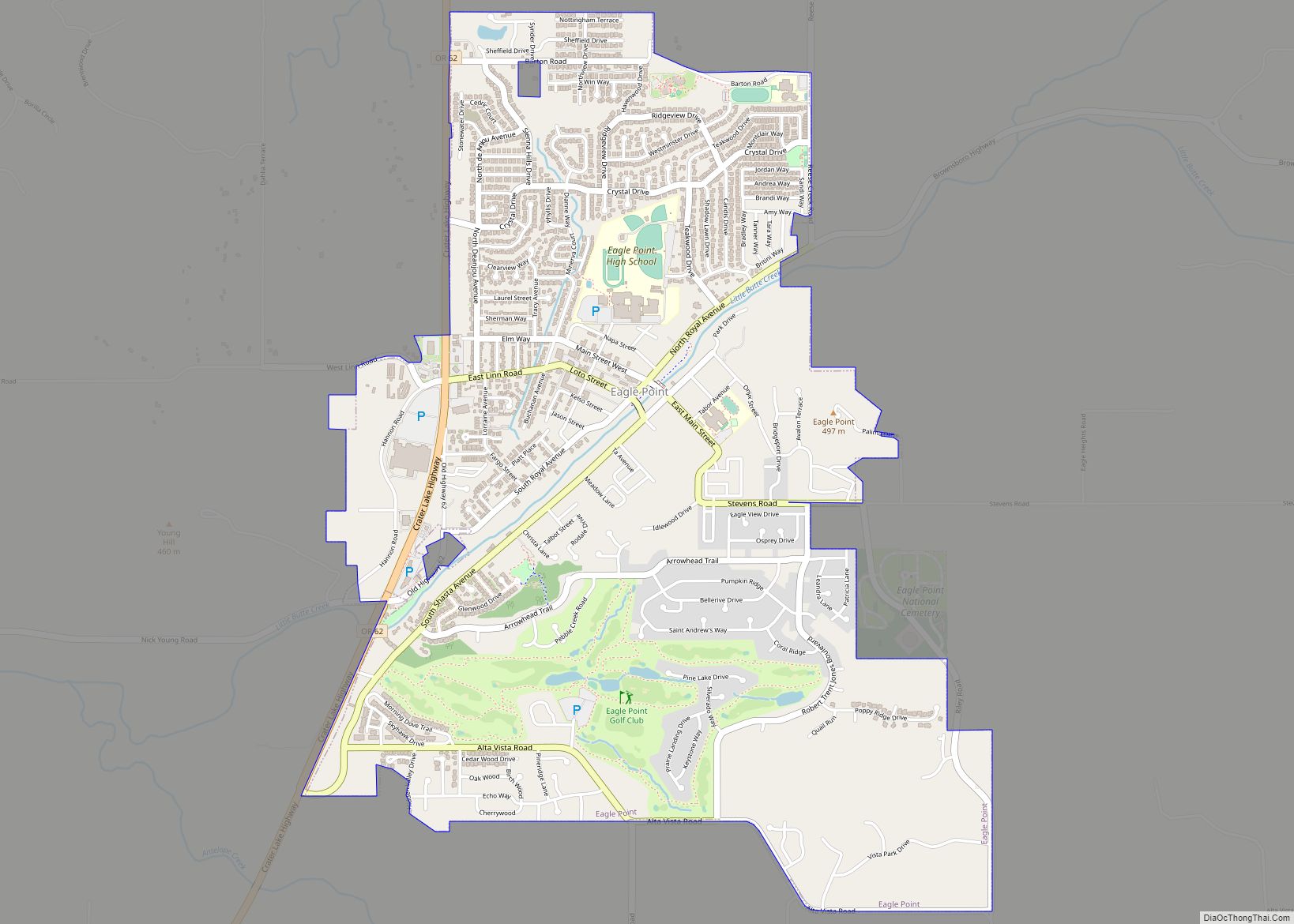
Online Interactive Map
Click on ![]() to view map in "full screen" mode.
to view map in "full screen" mode.
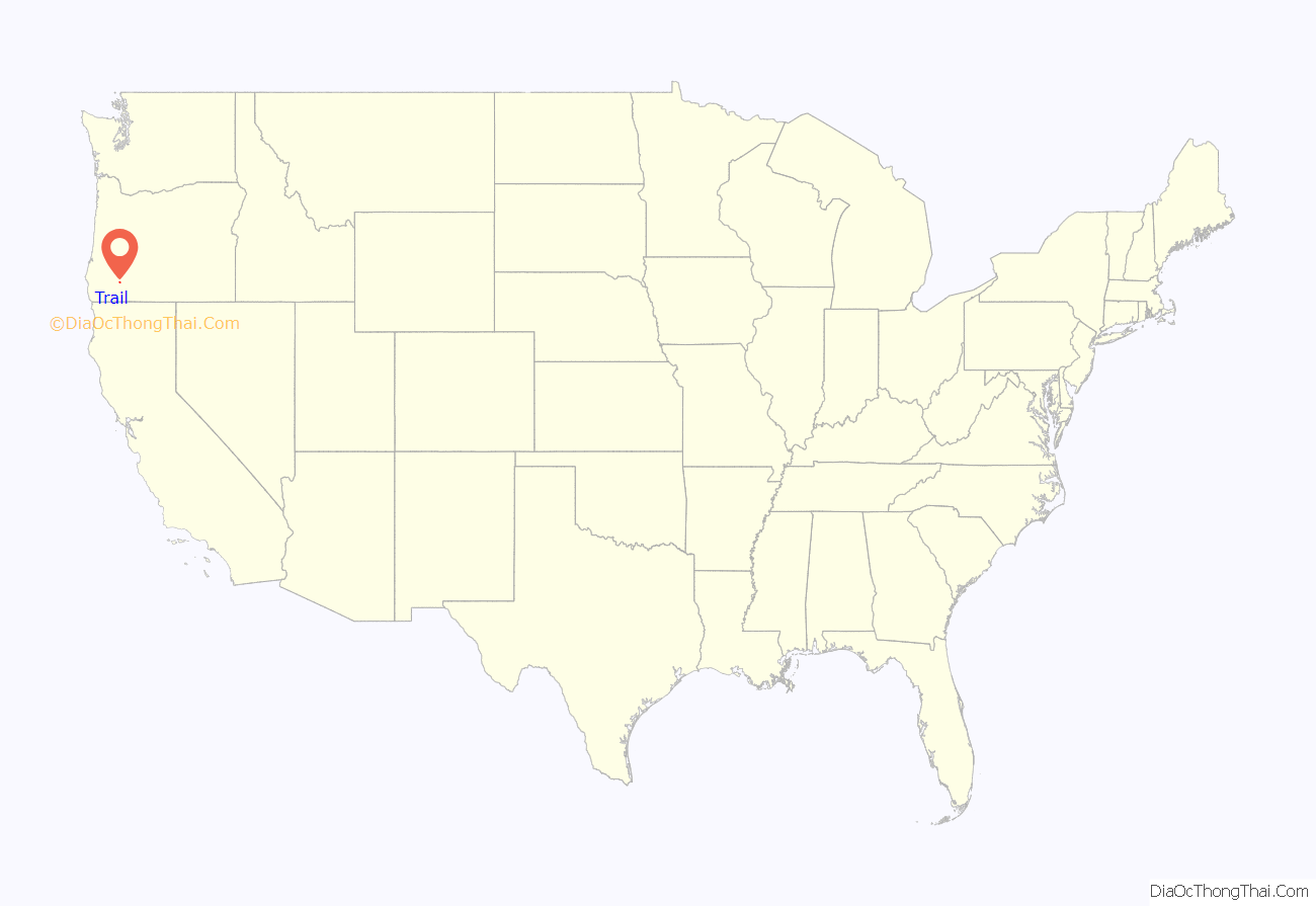
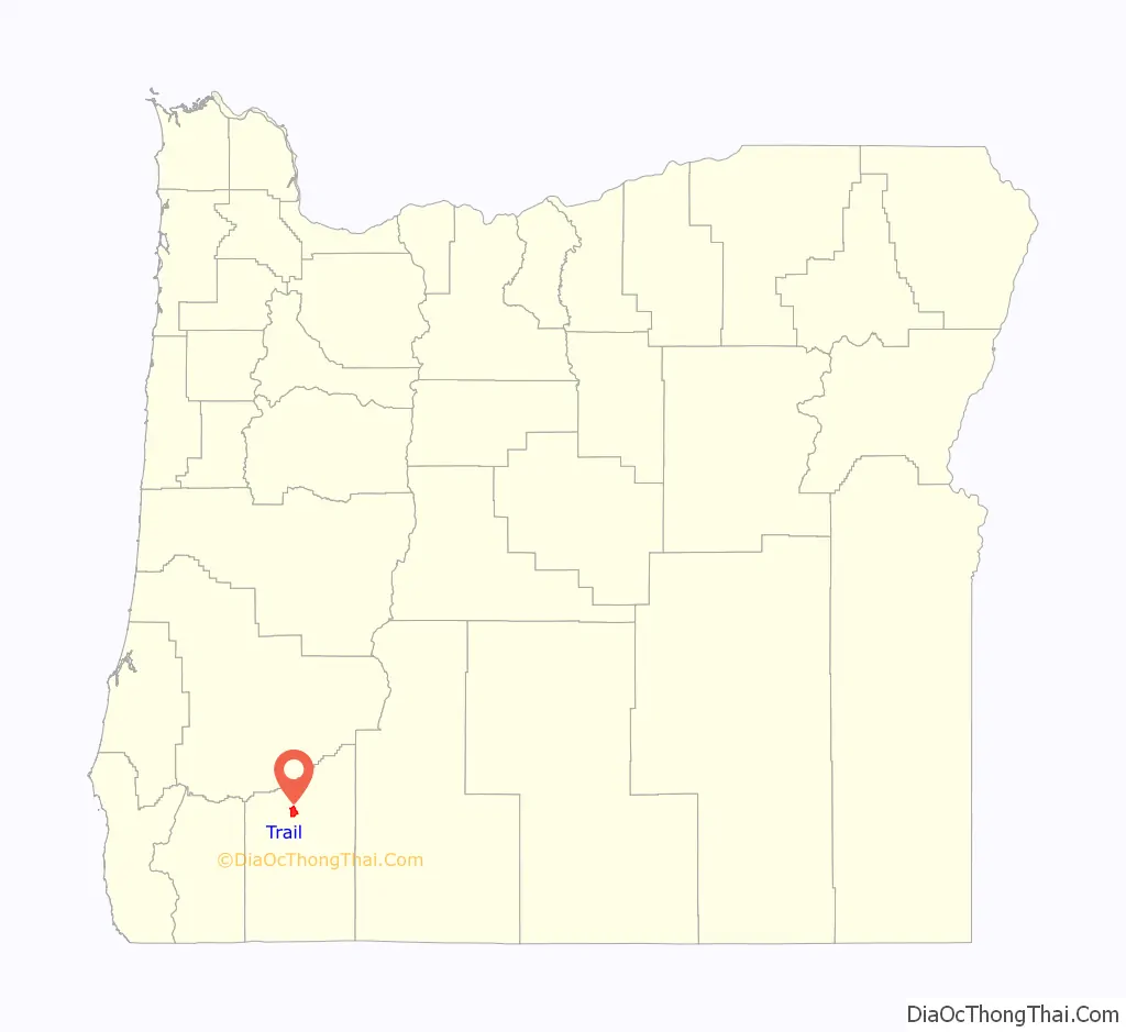
Trail location map. Where is Trail CDP?
Trail Road Map
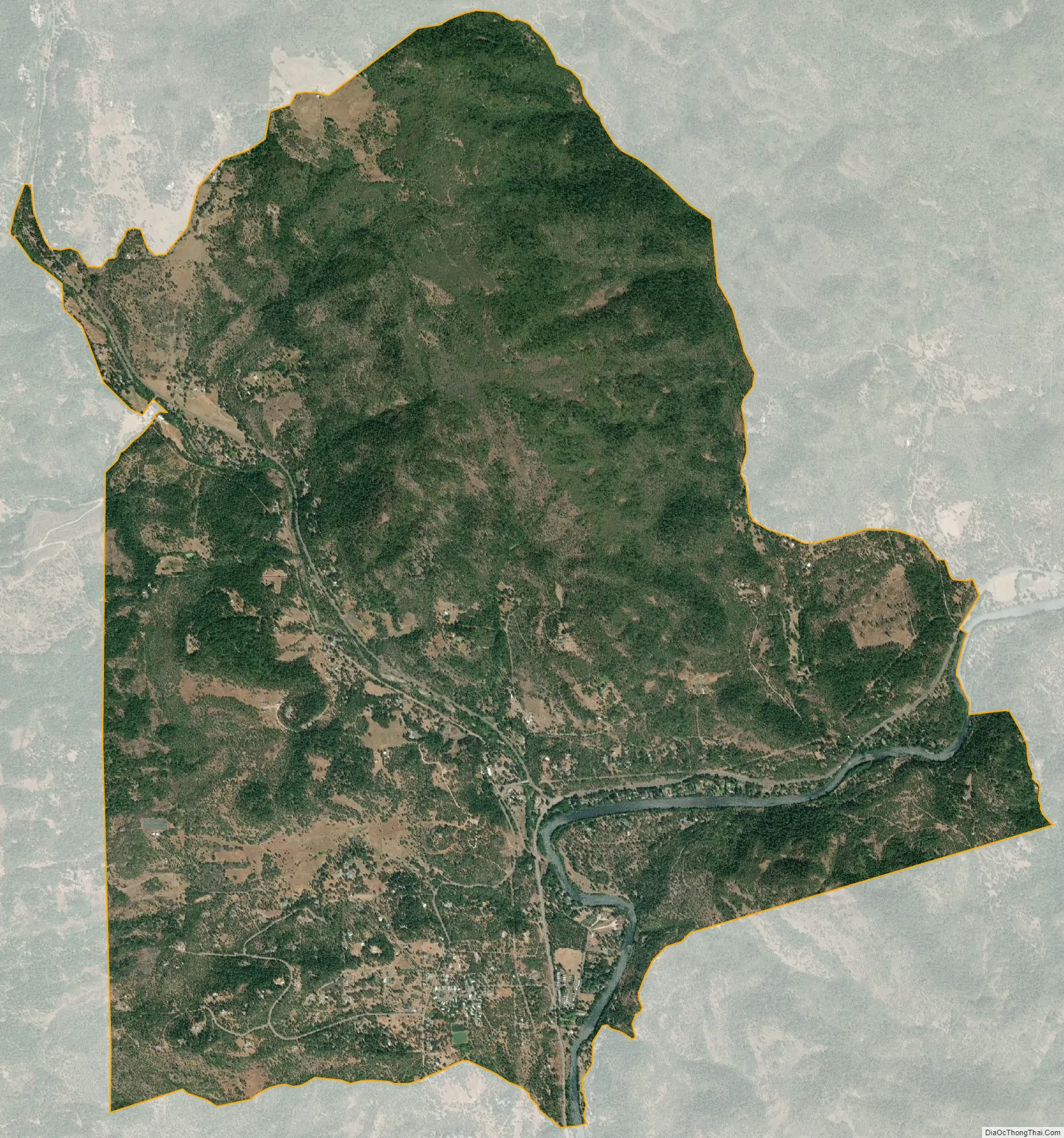
Trail city Satellite Map
See also
Map of Oregon State and its subdivision: Map of other states:- Alabama
- Alaska
- Arizona
- Arkansas
- California
- Colorado
- Connecticut
- Delaware
- District of Columbia
- Florida
- Georgia
- Hawaii
- Idaho
- Illinois
- Indiana
- Iowa
- Kansas
- Kentucky
- Louisiana
- Maine
- Maryland
- Massachusetts
- Michigan
- Minnesota
- Mississippi
- Missouri
- Montana
- Nebraska
- Nevada
- New Hampshire
- New Jersey
- New Mexico
- New York
- North Carolina
- North Dakota
- Ohio
- Oklahoma
- Oregon
- Pennsylvania
- Rhode Island
- South Carolina
- South Dakota
- Tennessee
- Texas
- Utah
- Vermont
- Virginia
- Washington
- West Virginia
- Wisconsin
- Wyoming