Cordova is a town in Orangeburg County, South Carolina, United States. The population was 169 at the 2010 census.
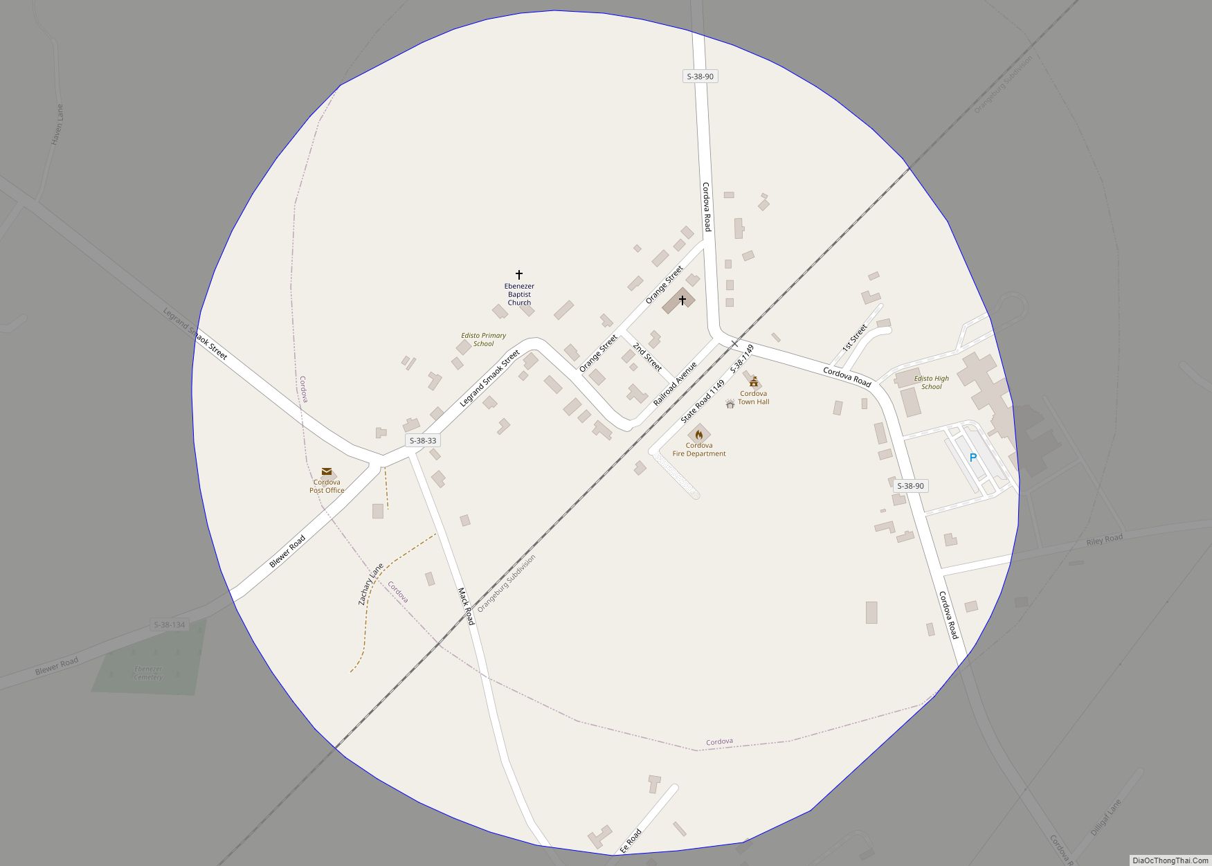
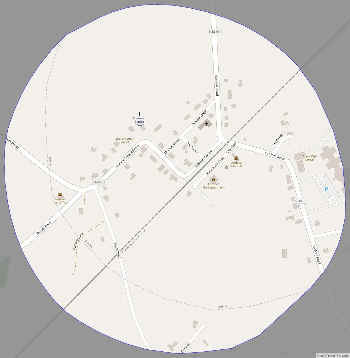
Despite its small size, Cordova is home to both a High School and a Primary School, a fire department, and a single Daycare.
At the heart of Cordova is the town hall, which houses community events, fundraisers, and birthday parties throughout the year.
| Name: | Cordova town |
|---|---|
| LSAD Code: | 43 |
| LSAD Description: | town (suffix) |
| State: | South Carolina |
| County: | Orangeburg County |
| Elevation: | 253 ft (77 m) |
| Total Area: | 0.44 sq mi (1.13 km²) |
| Land Area: | 0.44 sq mi (1.13 km²) |
| Water Area: | 0.00 sq mi (0.00 km²) |
| Total Population: | 136 |
| Population Density: | 311.93/sq mi (120.45/km²) |
| ZIP code: | 29039 |
| Area code: | 803, 839 |
| FIPS code: | 4516855 |
| GNISfeature ID: | 1247385 |
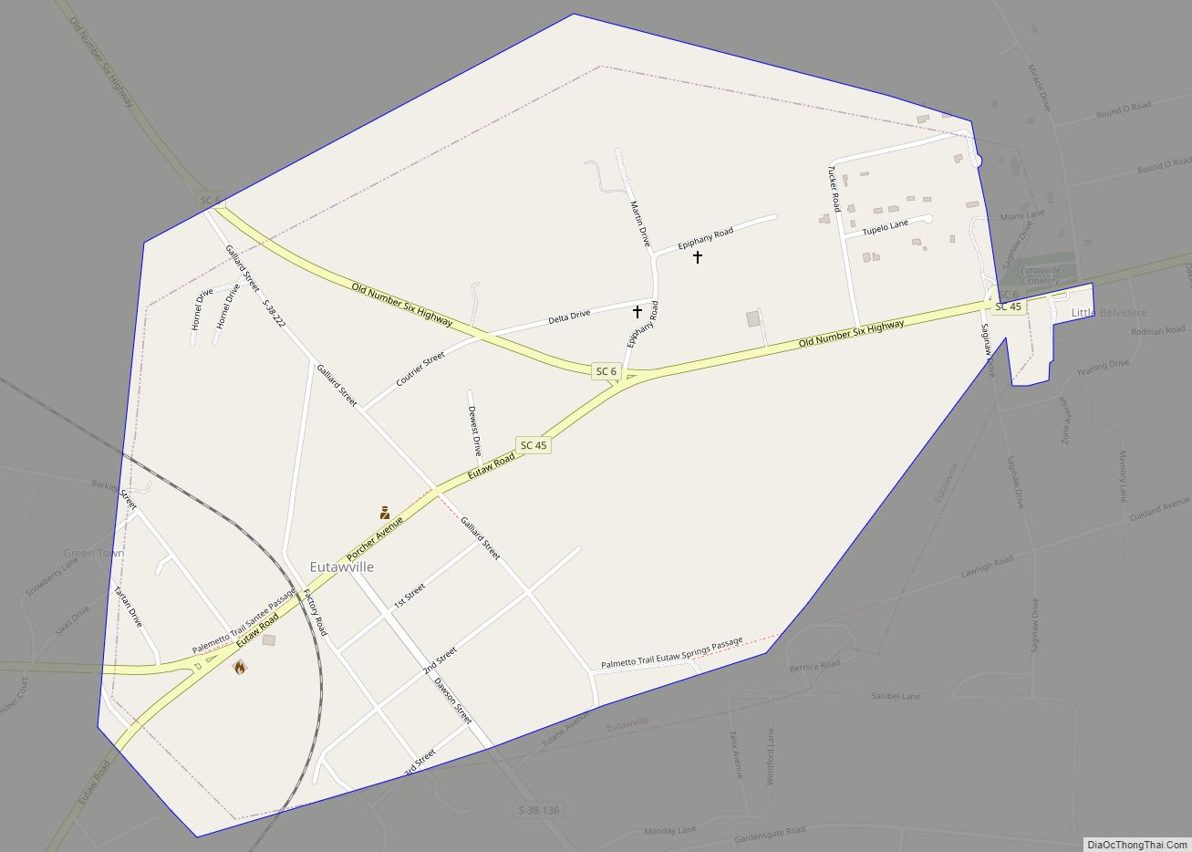
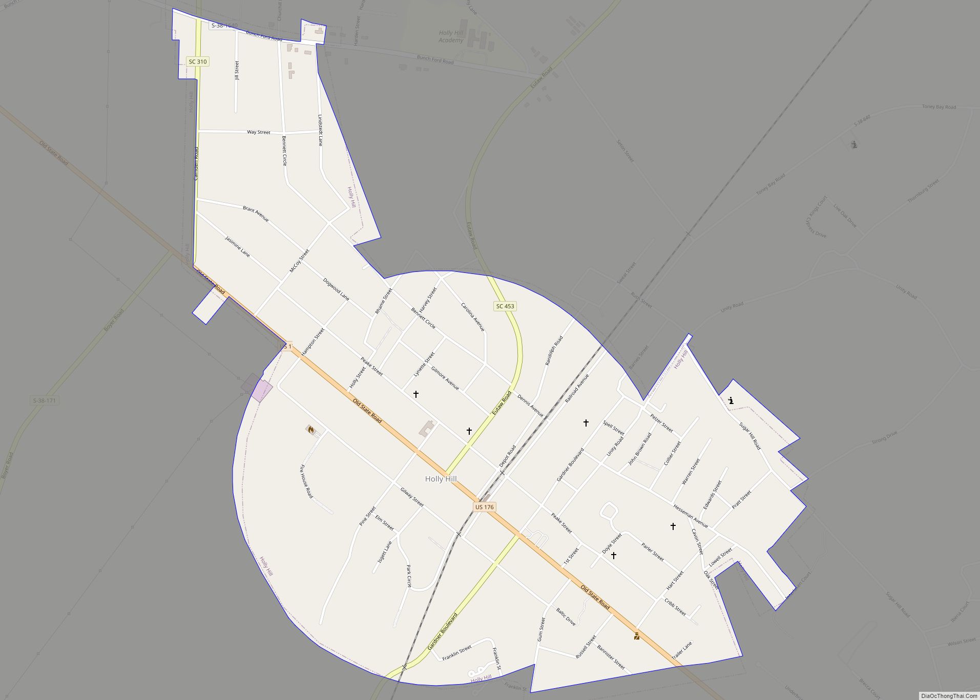
Online Interactive Map
Click on ![]() to view map in "full screen" mode.
to view map in "full screen" mode.
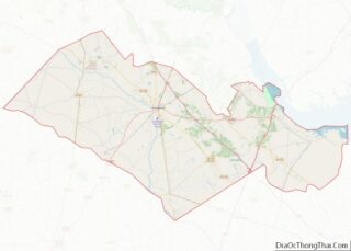
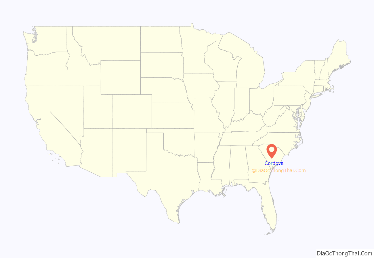
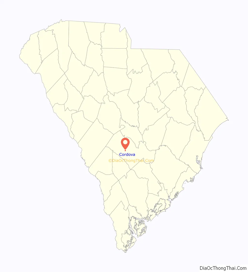
Cordova location map. Where is Cordova town?
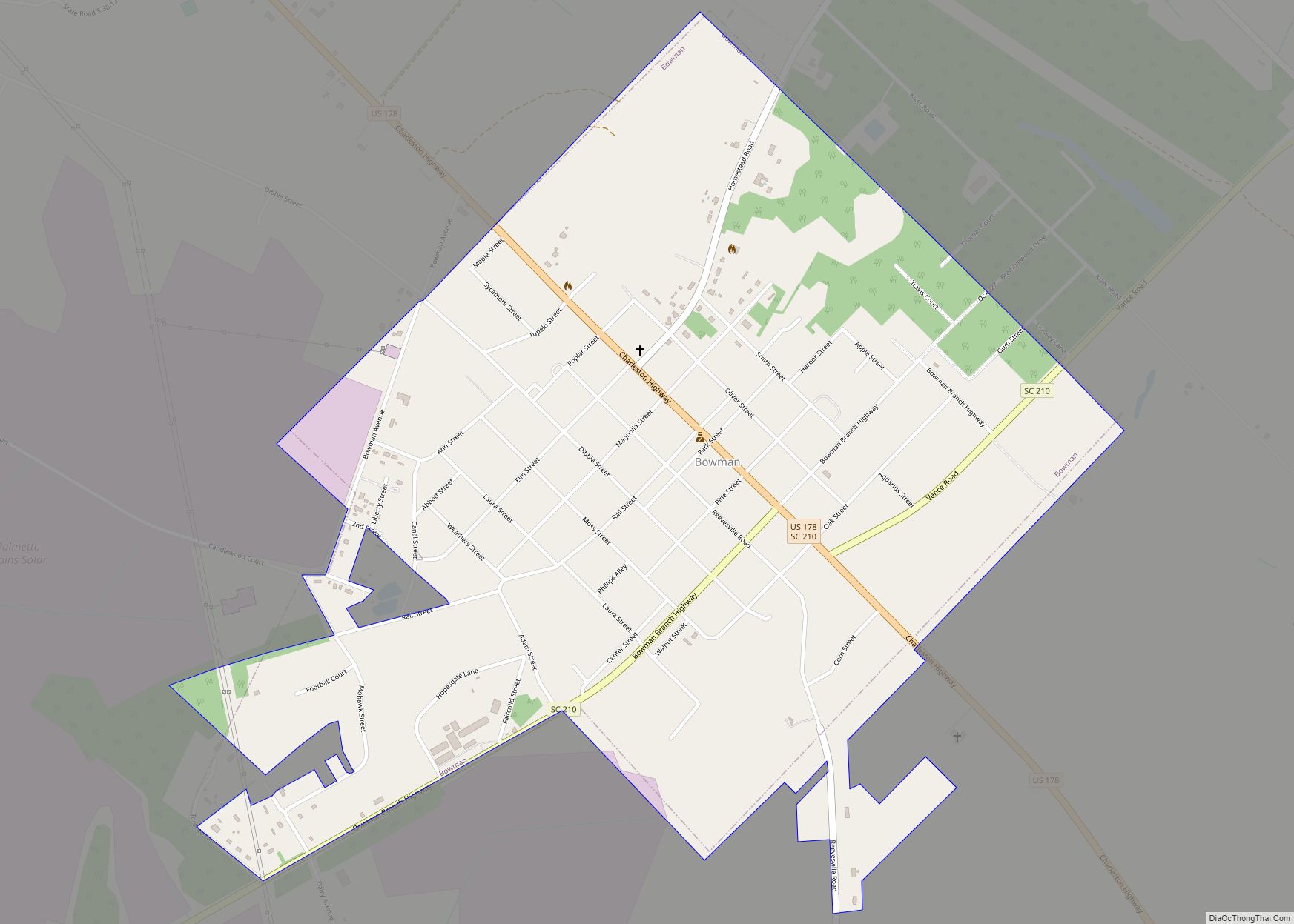
Cordova Road Map
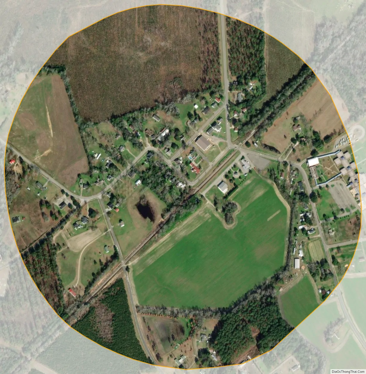
Cordova city Satellite Map
Geography
Cordova is located at 33°26′N 80°55′W (33.4348,-80.9201).
According to the United States Census Bureau, the town has a total area of 0.4 square miles (1.0 km), all land.
An Active train track runs through the town.
See also
Map of South Carolina State and its subdivision:- Abbeville
- Aiken
- Allendale
- Anderson
- Bamberg
- Barnwell
- Beaufort
- Berkeley
- Calhoun
- Charleston
- Cherokee
- Chester
- Chesterfield
- Clarendon
- Colleton
- Darlington
- Dillon
- Dorchester
- Edgefield
- Fairfield
- Florence
- Georgetown
- Greenville
- Greenwood
- Hampton
- Horry
- Jasper
- Kershaw
- Lancaster
- Laurens
- Lee
- Lexington
- Marion
- Marlboro
- McCormick
- Newberry
- Oconee
- Orangeburg
- Pickens
- Richland
- Saluda
- Spartanburg
- Sumter
- Union
- Williamsburg
- York
- Alabama
- Alaska
- Arizona
- Arkansas
- California
- Colorado
- Connecticut
- Delaware
- District of Columbia
- Florida
- Georgia
- Hawaii
- Idaho
- Illinois
- Indiana
- Iowa
- Kansas
- Kentucky
- Louisiana
- Maine
- Maryland
- Massachusetts
- Michigan
- Minnesota
- Mississippi
- Missouri
- Montana
- Nebraska
- Nevada
- New Hampshire
- New Jersey
- New Mexico
- New York
- North Carolina
- North Dakota
- Ohio
- Oklahoma
- Oregon
- Pennsylvania
- Rhode Island
- South Carolina
- South Dakota
- Tennessee
- Texas
- Utah
- Vermont
- Virginia
- Washington
- West Virginia
- Wisconsin
- Wyoming