Coward is a town in Florence County, South Carolina, United States. The population was 752 at the 2010 census, up from 650 in 2000. It is part of the Florence Metropolitan Statistical Area.
| Name: | Coward town |
|---|---|
| LSAD Code: | 43 |
| LSAD Description: | town (suffix) |
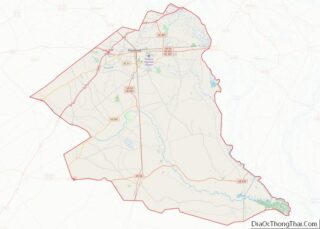
| State: | South Carolina |
| County: | Florence County |
| Elevation: | 82 ft (25 m) |
| Total Area: | 3.53 sq mi (9.15 km²) |
| Land Area: | 3.53 sq mi (9.15 km²) |
| Water Area: | 0.00 sq mi (0.00 km²) |
| Total Population: | 748 |
| Population Density: | 211.84/sq mi (81.79/km²) |
| ZIP code: | 29530 |
| Area code: | 843, 854 |
| FIPS code: | 4517215 |
| GNISfeature ID: | 1247407 |
| Website: | townofcoward.com |
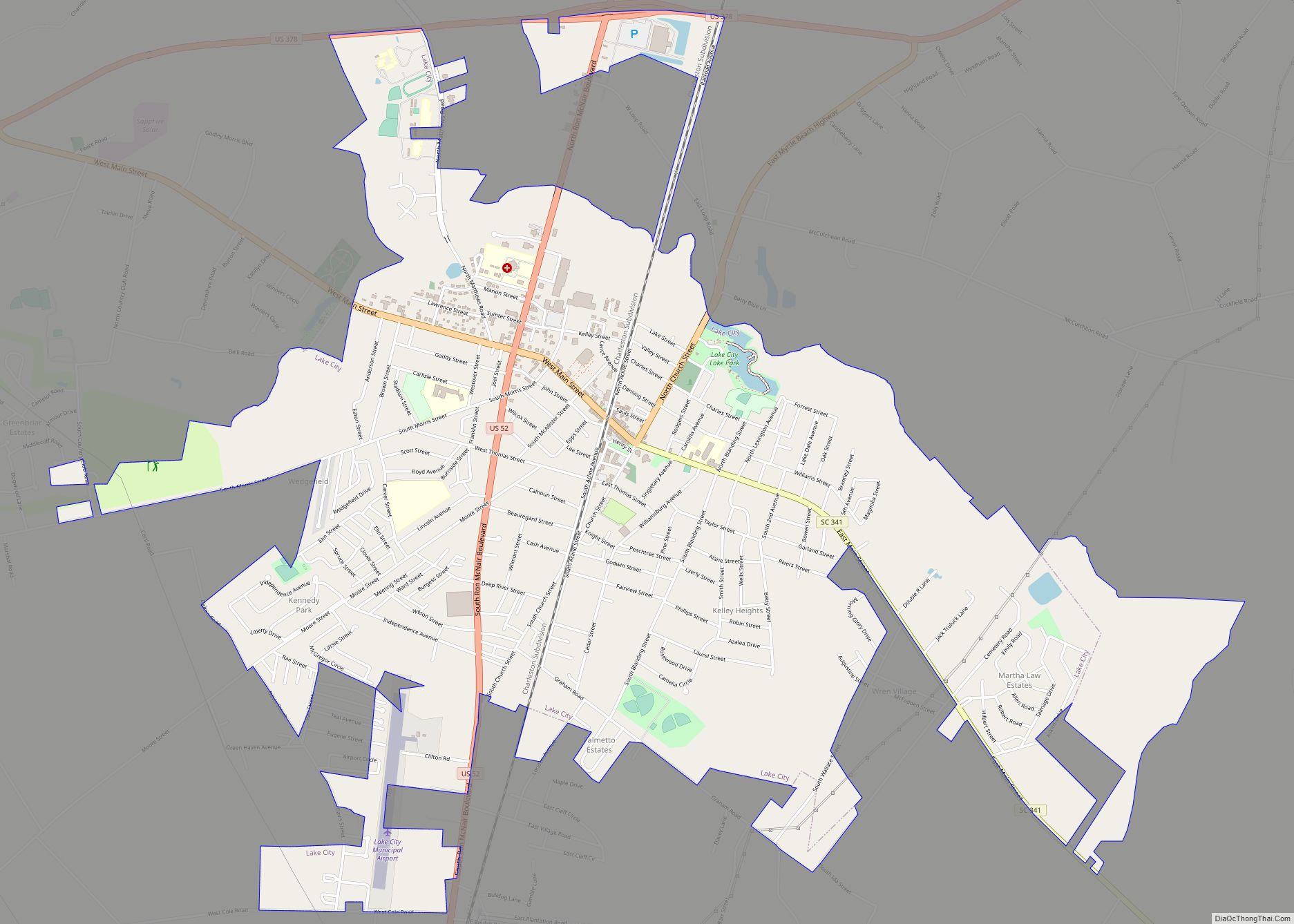
Online Interactive Map
Click on ![]() to view map in "full screen" mode.
to view map in "full screen" mode.
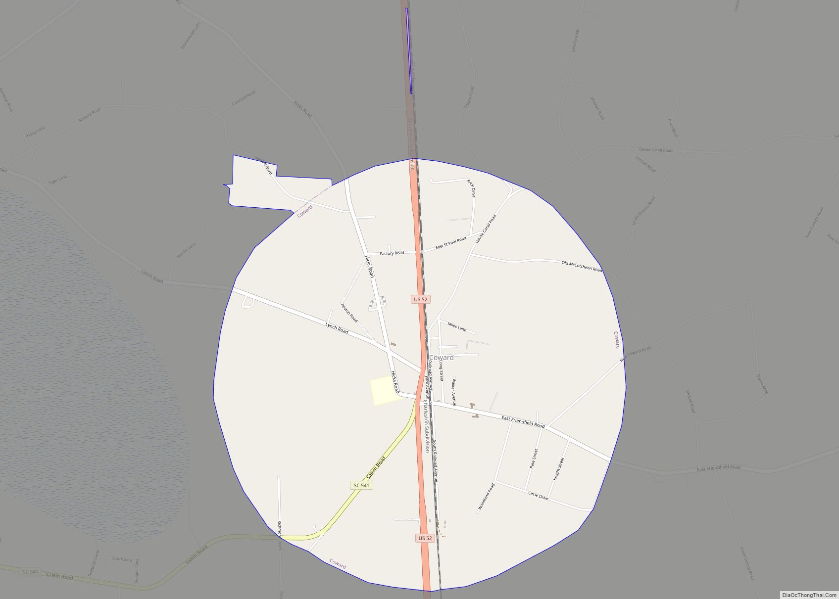
Coward location map. Where is Coward town?
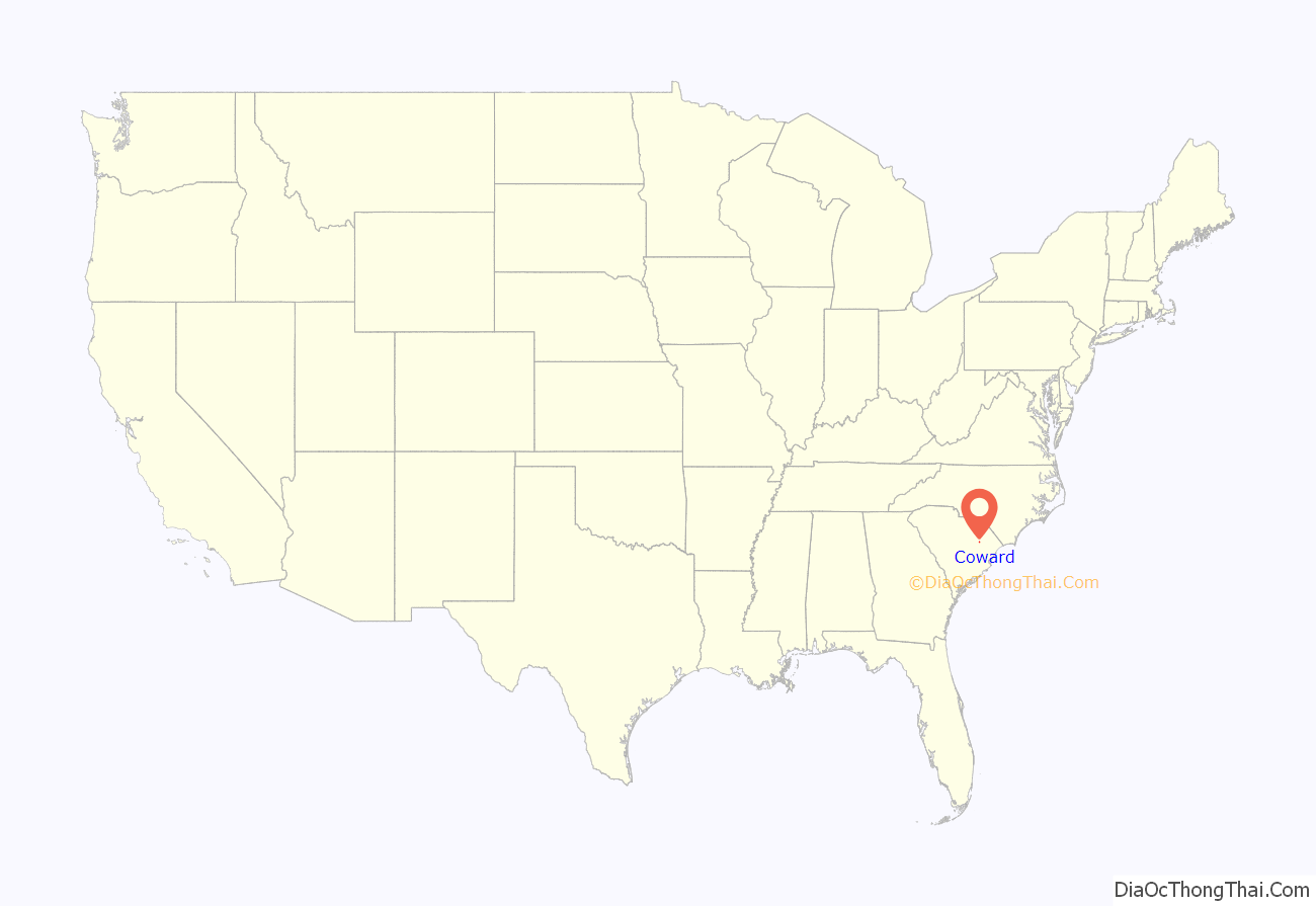
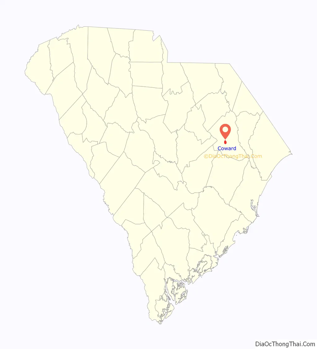
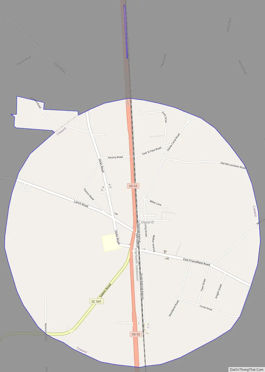
Coward Road Map
Coward city Satellite Map

Geography
Coward is in south-central Florence County at 33°58′32″N 79°44′50″W / 33.975560°N 79.747097°W / 33.975560; -79.747097. U.S. Route 52 runs through the center of town, leading north 16 miles (26 km) to Florence, the county seat, and south 7 miles (11 km) to Lake City. South Carolina Highway 541 leads west from Coward 12 miles (19 km) to Olanta.
According to the United States Census Bureau, the town of Coward has a total area of 3.5 square miles (9.1 km), of which 0.637 acres (2,576 m), or 0.03%, is water. The town is in the watershed of the Lynches River, a tributary of the Pee Dee River.
See also
Map of South Carolina State and its subdivision:- Abbeville
- Aiken
- Allendale
- Anderson
- Bamberg
- Barnwell
- Beaufort
- Berkeley
- Calhoun
- Charleston
- Cherokee
- Chester
- Chesterfield
- Clarendon
- Colleton
- Darlington
- Dillon
- Dorchester
- Edgefield
- Fairfield
- Florence
- Georgetown
- Greenville
- Greenwood
- Hampton
- Horry
- Jasper
- Kershaw
- Lancaster
- Laurens
- Lee
- Lexington
- Marion
- Marlboro
- McCormick
- Newberry
- Oconee
- Orangeburg
- Pickens
- Richland
- Saluda
- Spartanburg
- Sumter
- Union
- Williamsburg
- York
- Alabama
- Alaska
- Arizona
- Arkansas
- California
- Colorado
- Connecticut
- Delaware
- District of Columbia
- Florida
- Georgia
- Hawaii
- Idaho
- Illinois
- Indiana
- Iowa
- Kansas
- Kentucky
- Louisiana
- Maine
- Maryland
- Massachusetts
- Michigan
- Minnesota
- Mississippi
- Missouri
- Montana
- Nebraska
- Nevada
- New Hampshire
- New Jersey
- New Mexico
- New York
- North Carolina
- North Dakota
- Ohio
- Oklahoma
- Oregon
- Pennsylvania
- Rhode Island
- South Carolina
- South Dakota
- Tennessee
- Texas
- Utah
- Vermont
- Virginia
- Washington
- West Virginia
- Wisconsin
- Wyoming