Eutawville /juːˈtoʊvəl/ is a town in Orangeburg County, South Carolina, United States. Prior to 1910, Eutawville was located in the northwest portion of Saint James Goose Creek Township, Berkeley County. The population was 315 at the 2010 census.
| Name: | Eutawville town |
|---|---|
| LSAD Code: | 43 |
| LSAD Description: | town (suffix) |
| State: | South Carolina |
| County: | Orangeburg County |
| Elevation: | 108 ft (33 m) |
| Total Area: | 0.95 sq mi (2.47 km²) |
| Land Area: | 0.95 sq mi (2.47 km²) |
| Water Area: | 0.00 sq mi (0.00 km²) |
| Total Population: | 235 |
| Population Density: | 246.85/sq mi (95.30/km²) |
| ZIP code: | 29048 |
| Area code: | 803, 839 |
| FIPS code: | 4524100 |
| GNISfeature ID: | 1247697 |
| Website: | www.eutawvillesc.org |
Online Interactive Map
Click on ![]() to view map in "full screen" mode.
to view map in "full screen" mode.
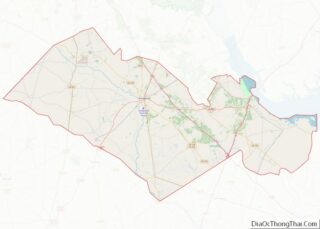
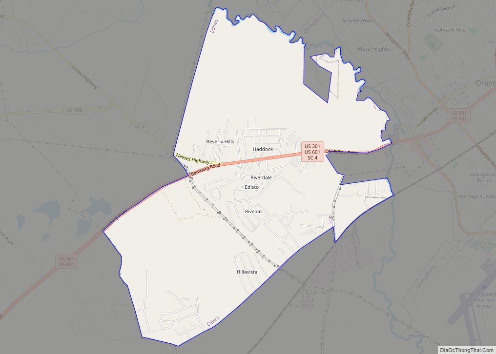
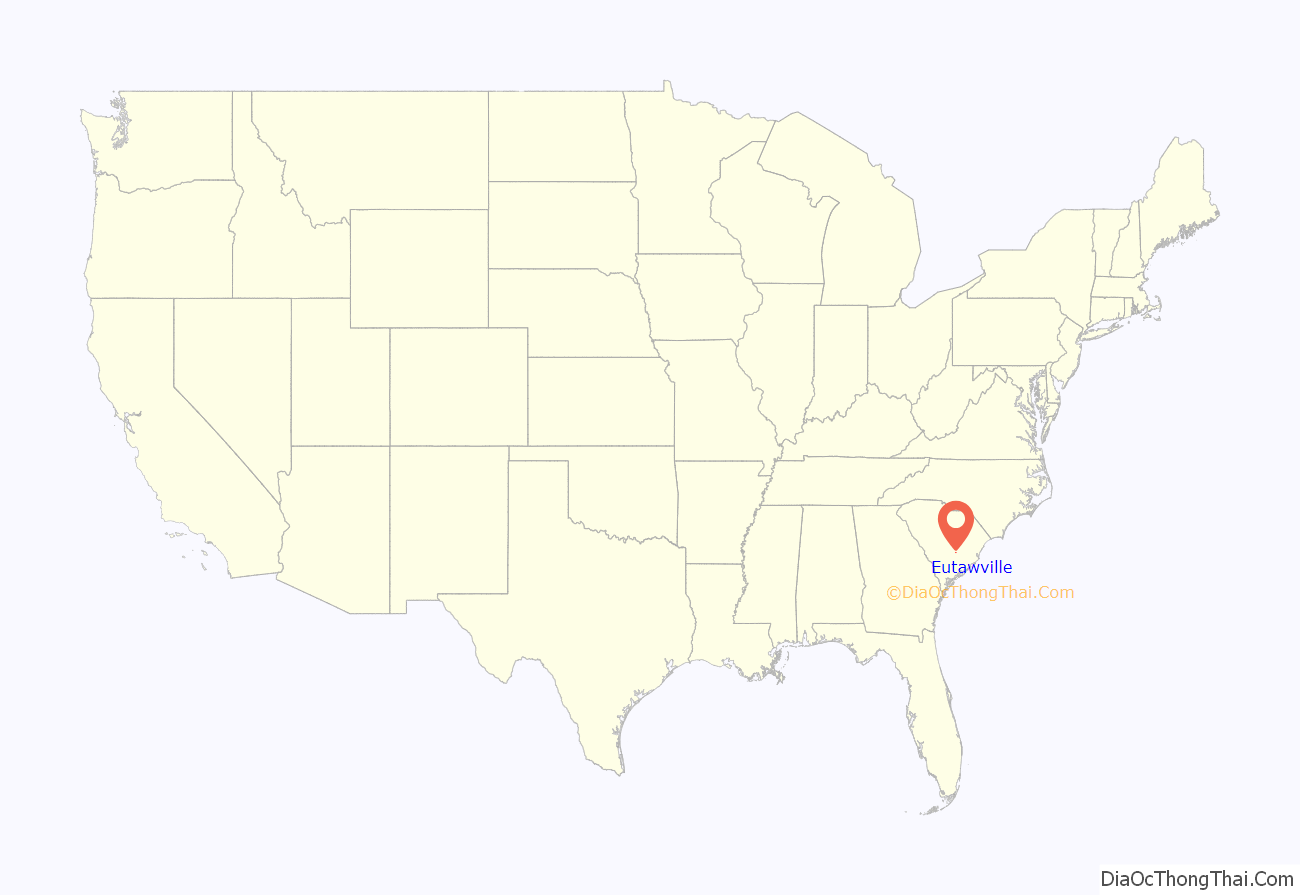
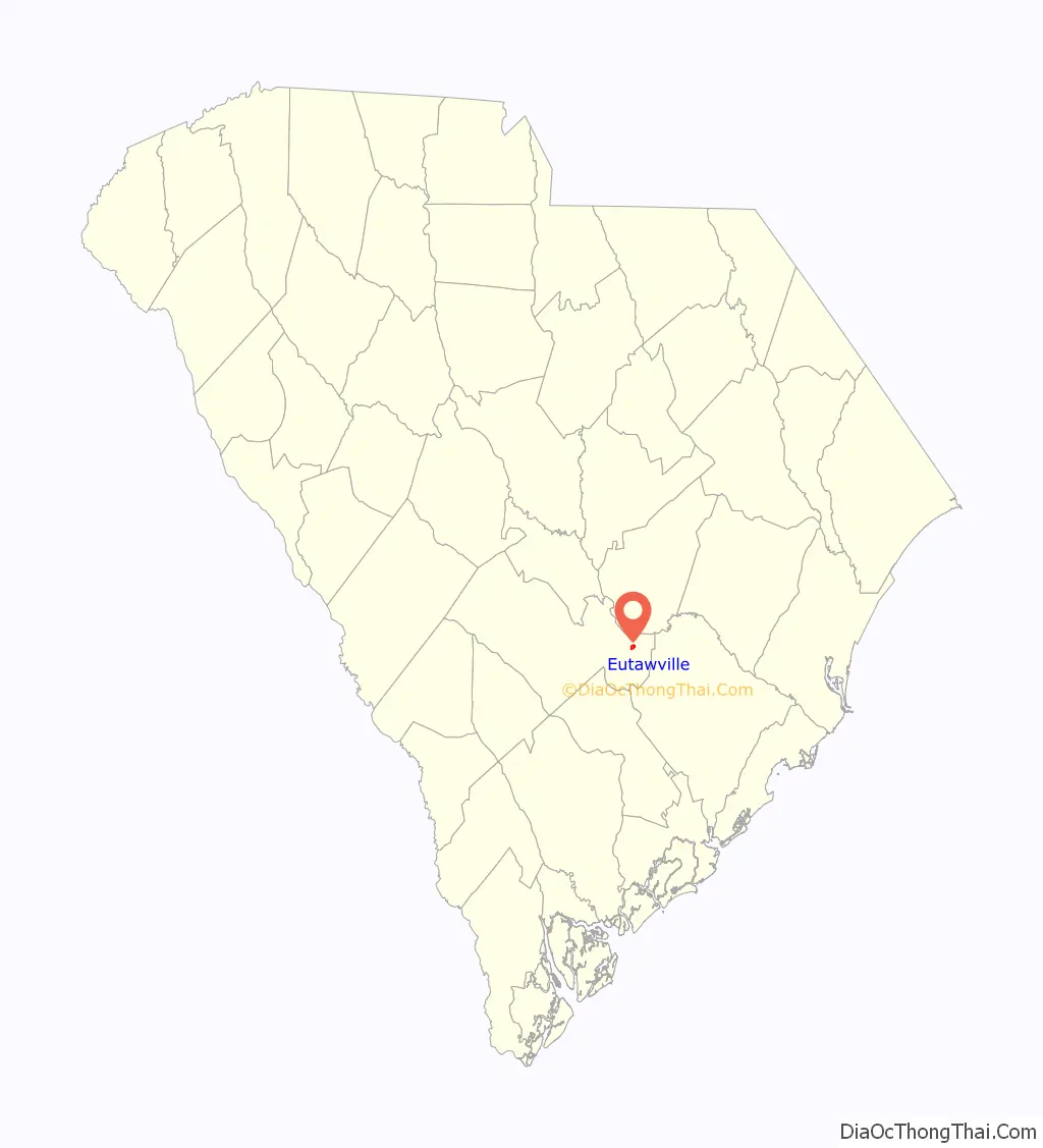
Eutawville location map. Where is Eutawville town?
History
Eutawville takes its name from the Eutaw Spring.
James Sinkler (died 1752) moved to America from Scotland in the early 1700s and settled near Bonneau, South Carolina. James Sinkler (1740–1800) and his wife Margaret Cantey moved to Upper St. John’s Parish in 1785. William Sinkler (1787–1853), son of James and Margaret Cantey Sinkler and in turn his son, William Henry, owned Belvidere plantation in Eutawville.
Eutawville was the site of the Battle of Eutaw Springs in 1781 during the American Revolutionary War. It was the last battle in the field in the southern states during the war.
Eutaw Springs Battleground Park, Numertia Plantation, and St. Julien Plantation are listed on the National Register of Historic Places.
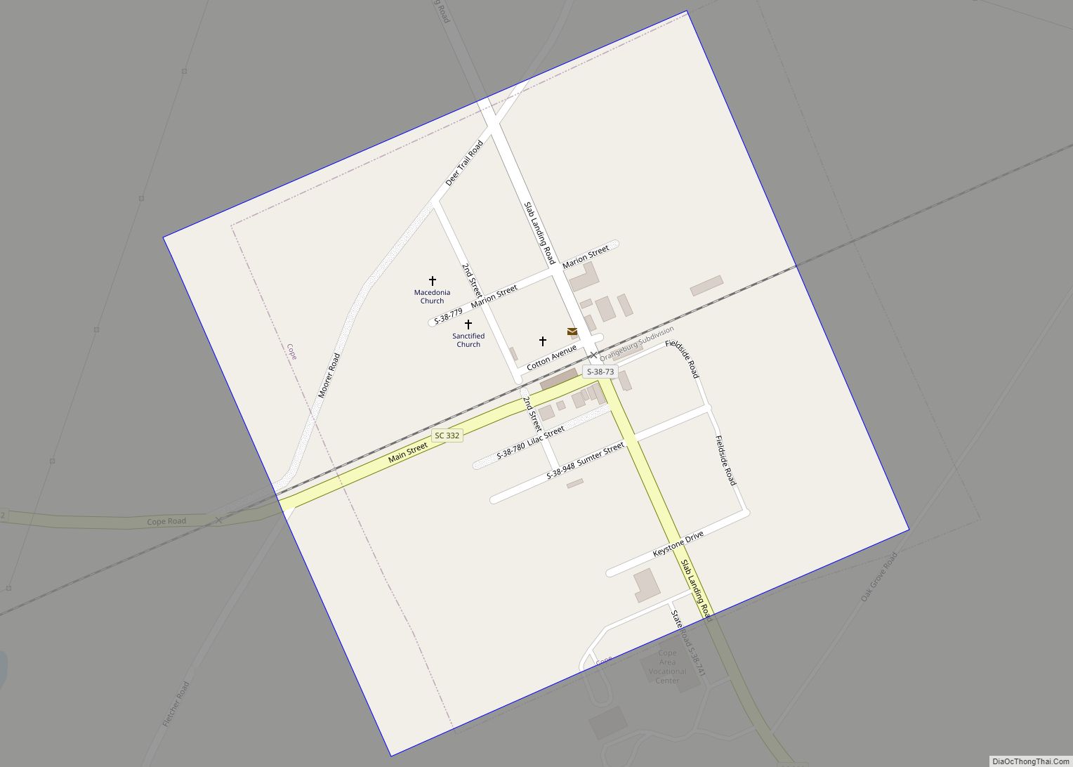
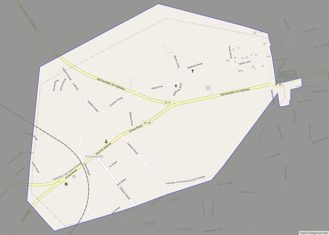
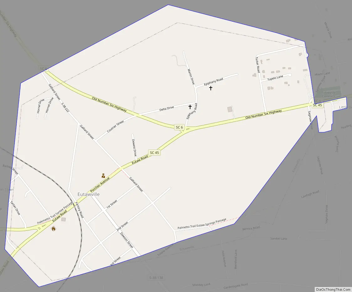
Eutawville Road Map
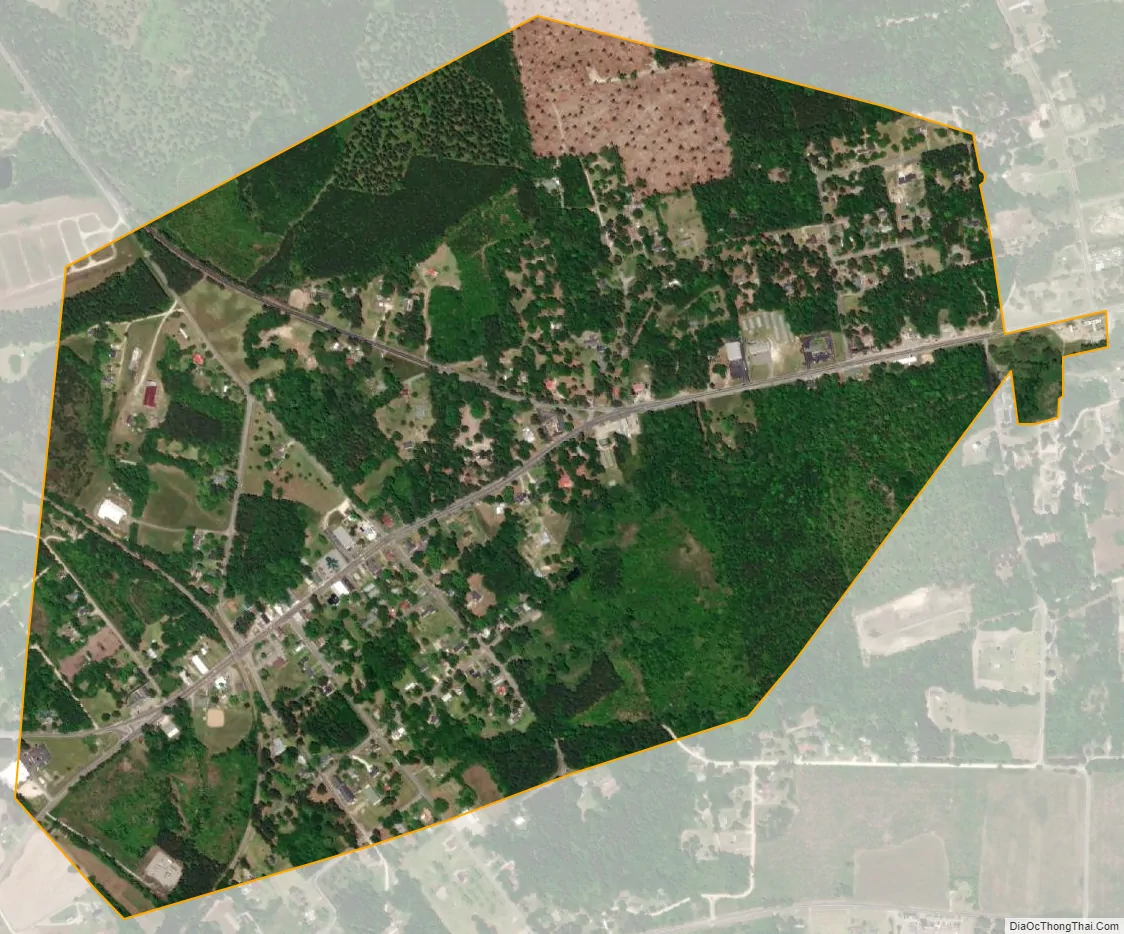
Eutawville city Satellite Map
Geography
Eutawville is located at 33°24′N 80°21′W / 33.400°N 80.350°W / 33.400; -80.350 (33.3938, -80.3448). It sits near the Santee River.
According to the United States Census Bureau, the town has a total area of 0.9 square miles (2.3 km), all land.
See also
Map of South Carolina State and its subdivision:- Abbeville
- Aiken
- Allendale
- Anderson
- Bamberg
- Barnwell
- Beaufort
- Berkeley
- Calhoun
- Charleston
- Cherokee
- Chester
- Chesterfield
- Clarendon
- Colleton
- Darlington
- Dillon
- Dorchester
- Edgefield
- Fairfield
- Florence
- Georgetown
- Greenville
- Greenwood
- Hampton
- Horry
- Jasper
- Kershaw
- Lancaster
- Laurens
- Lee
- Lexington
- Marion
- Marlboro
- McCormick
- Newberry
- Oconee
- Orangeburg
- Pickens
- Richland
- Saluda
- Spartanburg
- Sumter
- Union
- Williamsburg
- York
- Alabama
- Alaska
- Arizona
- Arkansas
- California
- Colorado
- Connecticut
- Delaware
- District of Columbia
- Florida
- Georgia
- Hawaii
- Idaho
- Illinois
- Indiana
- Iowa
- Kansas
- Kentucky
- Louisiana
- Maine
- Maryland
- Massachusetts
- Michigan
- Minnesota
- Mississippi
- Missouri
- Montana
- Nebraska
- Nevada
- New Hampshire
- New Jersey
- New Mexico
- New York
- North Carolina
- North Dakota
- Ohio
- Oklahoma
- Oregon
- Pennsylvania
- Rhode Island
- South Carolina
- South Dakota
- Tennessee
- Texas
- Utah
- Vermont
- Virginia
- Washington
- West Virginia
- Wisconsin
- Wyoming