Norway is a town in Orangeburg County, South Carolina, United States. The population was 337 at the 2010 census.
| Name: | Norway town |
|---|---|
| LSAD Code: | 43 |
| LSAD Description: | town (suffix) |
| State: | South Carolina |
| County: | Orangeburg County |
| Elevation: | 240 ft (70 m) |
| Total Area: | 0.80 sq mi (2.07 km²) |
| Land Area: | 0.79 sq mi (2.05 km²) |
| Water Area: | 0.01 sq mi (0.01 km²) |
| Total Population: | 289 |
| Population Density: | 364.90/sq mi (140.88/km²) |
| ZIP code: | 29113 |
| Area code: | 803, 839 |
| FIPS code: | 4551550 |
| GNISfeature ID: | 1249902 |
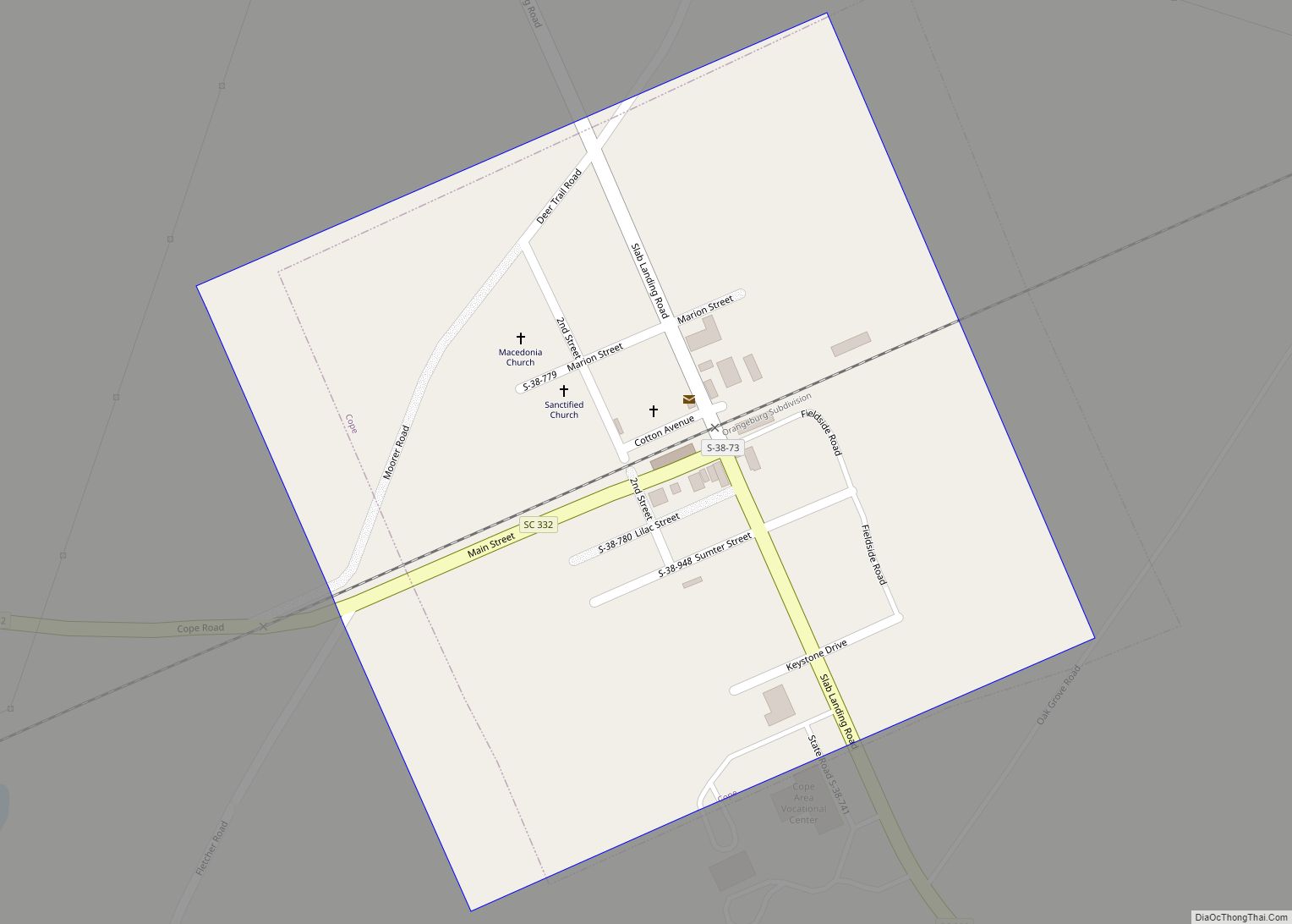
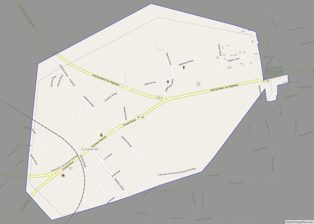
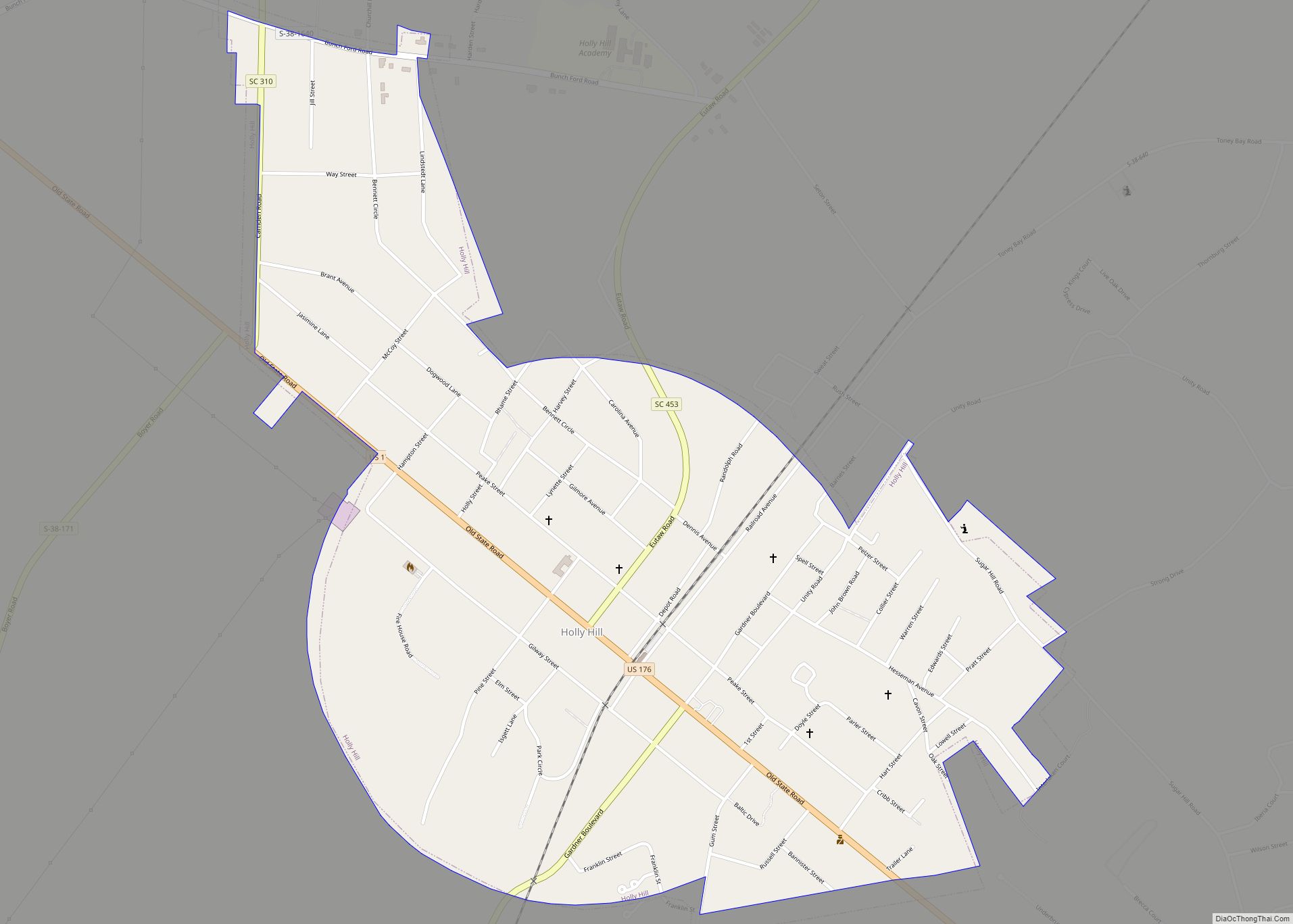
Online Interactive Map
Click on ![]() to view map in "full screen" mode.
to view map in "full screen" mode.
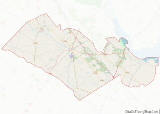
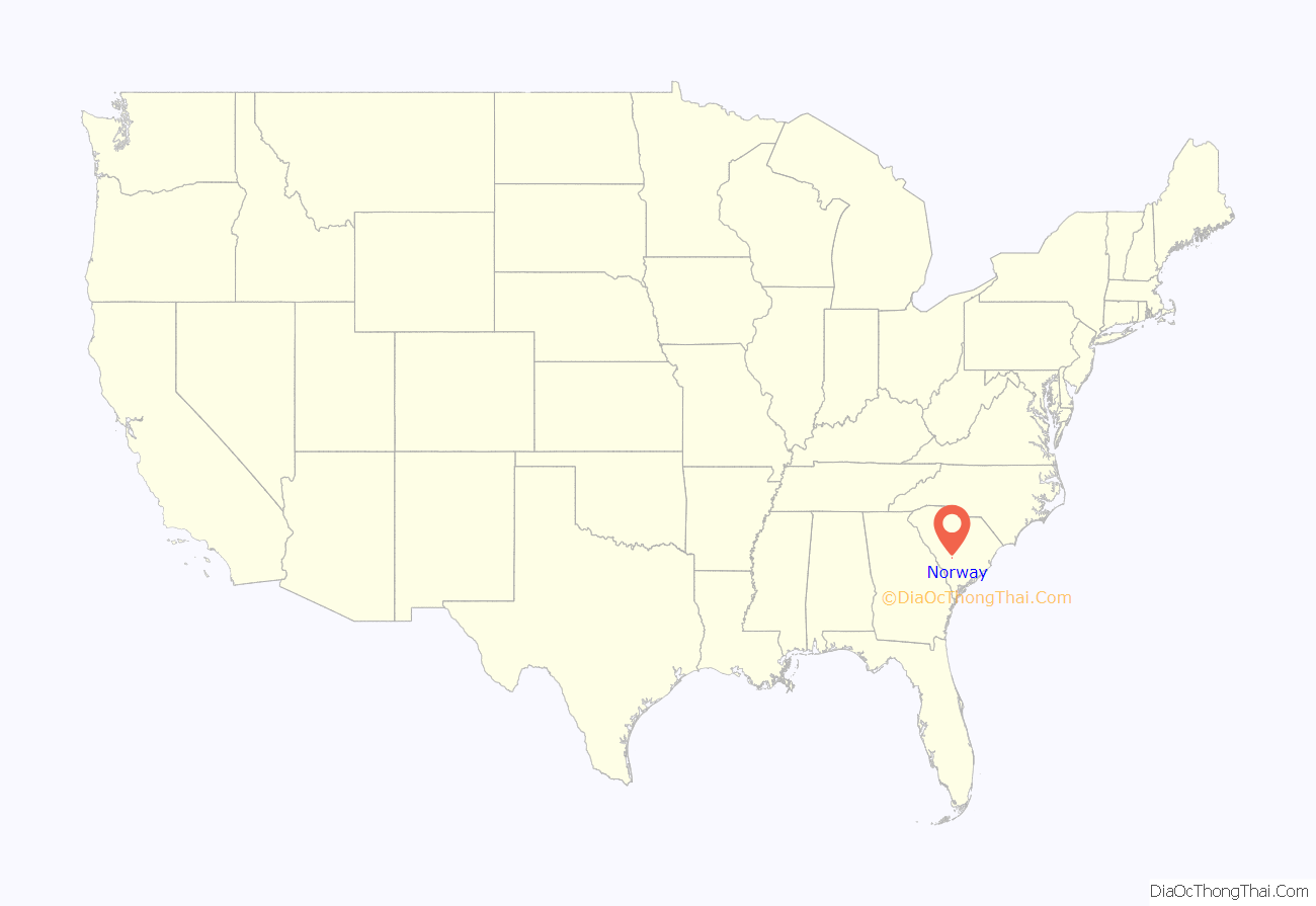
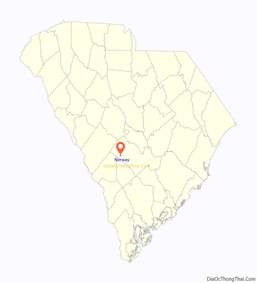
Norway location map. Where is Norway town?
History
Norway was laid out in 1891 when the railroad was extended to that point. A post office has been in operation at Norway since 1892. The town was so named in order to fit with the railroad’s “Scandinavian” naming scheme; other such examples include Sweden, South Carolina and Denmark, South Carolina.
The Willow Consolidated High School was added to the National Register of Historic Places in 2006.
Race riot
On July 4, 1903, the majority African-American population rose in protest, in reaction to the lynching on July 1 of resident Charles Evans, who was suspected of killing disabled Confederate veteran John T. Phillips. Along with the lynching of Evans, two other black residents of Norway were beaten by a white mob, with one later dying of his injuries. According to news reports at the time, the murder of Phillips was perpetrated in revenge for Phillips’ son whipping black workers. Nearly 200 armed black residents took over the town before a militia was called by Governor Duncan Clinch Heyward to restore white control. At the time, only 50 of Norway’s 200 residents were white.
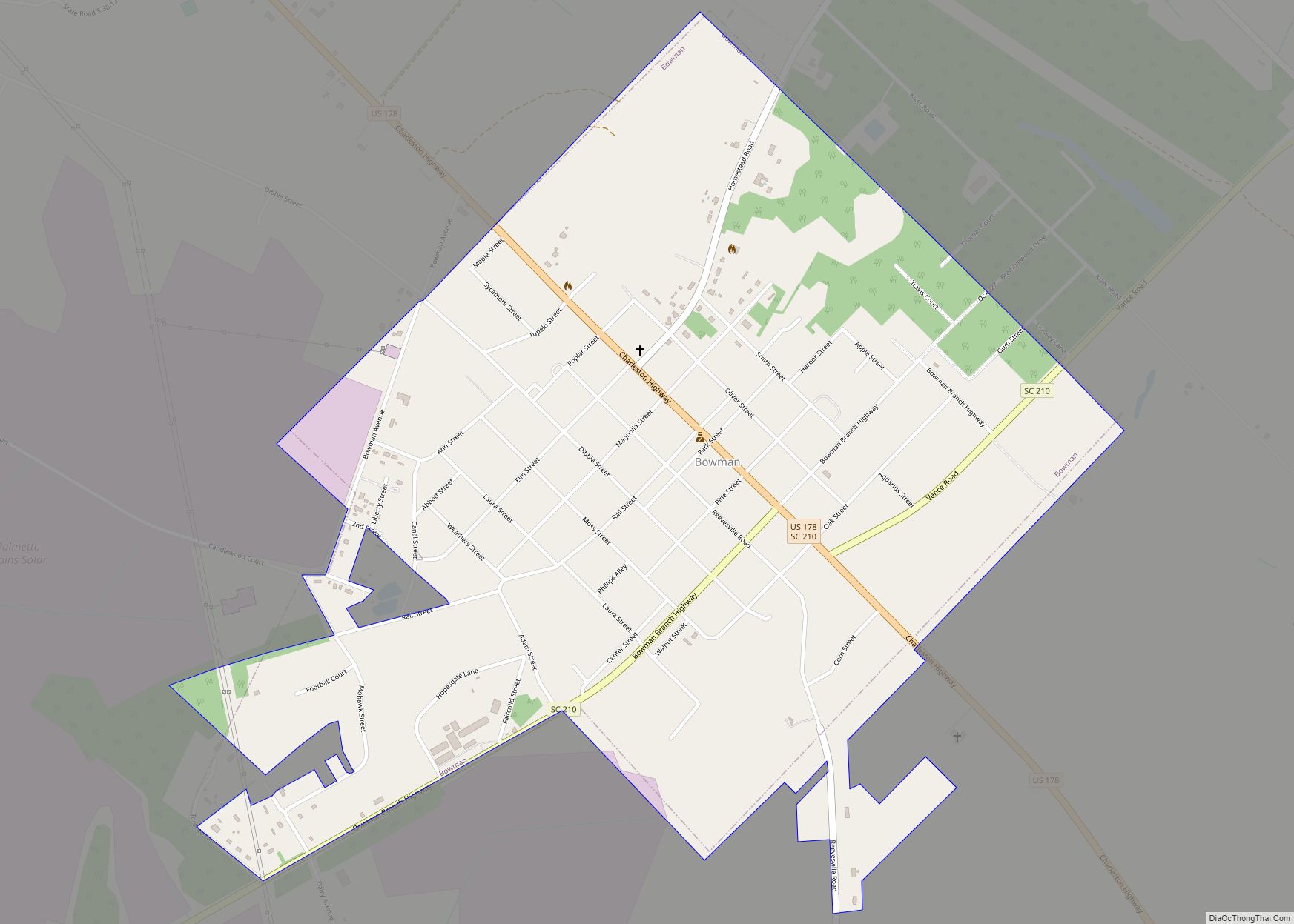
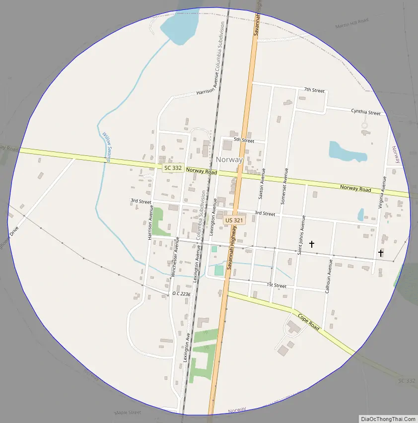
Norway Road Map
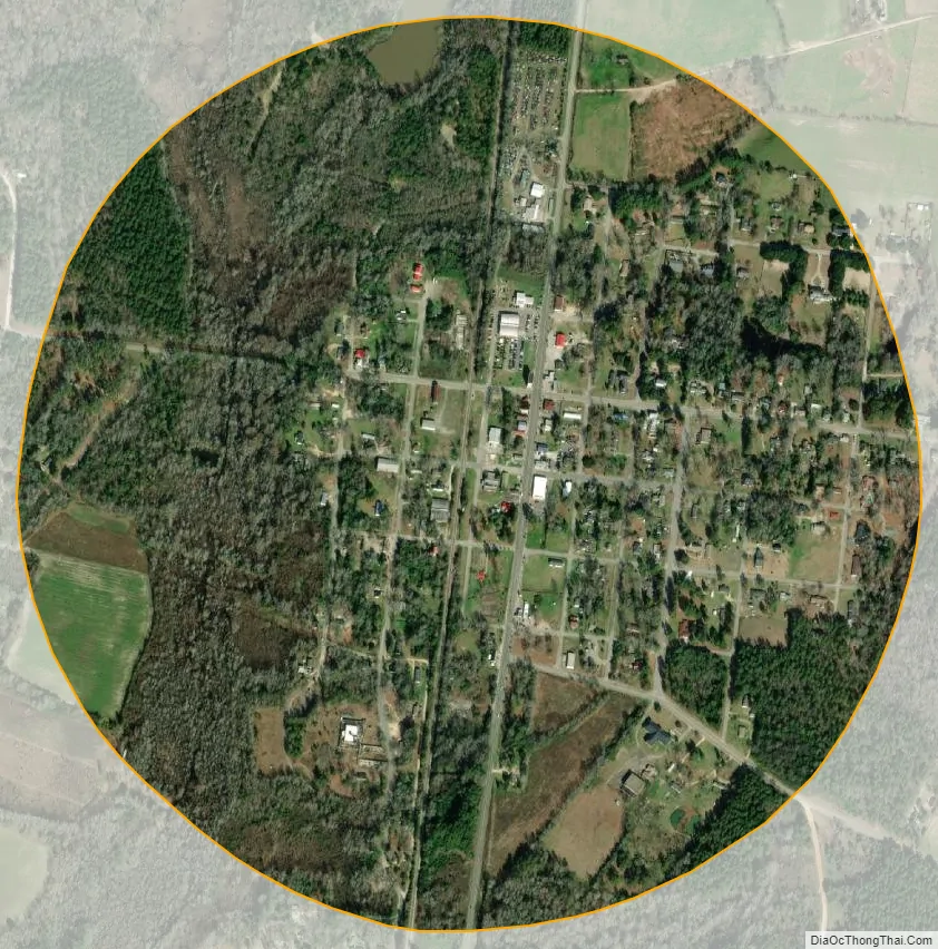
Norway city Satellite Map
Geography
Norway is located at 33°27′N 81°8′W / 33.450°N 81.133°W / 33.450; -81.133 (33.4497, -81.1260).
According to the United States Census Bureau, the town has a total area of 0.8 square miles (2.1 km), of which 0.8 square miles (2.1 km) is land and 1.19% is water.
See also
Map of South Carolina State and its subdivision:- Abbeville
- Aiken
- Allendale
- Anderson
- Bamberg
- Barnwell
- Beaufort
- Berkeley
- Calhoun
- Charleston
- Cherokee
- Chester
- Chesterfield
- Clarendon
- Colleton
- Darlington
- Dillon
- Dorchester
- Edgefield
- Fairfield
- Florence
- Georgetown
- Greenville
- Greenwood
- Hampton
- Horry
- Jasper
- Kershaw
- Lancaster
- Laurens
- Lee
- Lexington
- Marion
- Marlboro
- McCormick
- Newberry
- Oconee
- Orangeburg
- Pickens
- Richland
- Saluda
- Spartanburg
- Sumter
- Union
- Williamsburg
- York
- Alabama
- Alaska
- Arizona
- Arkansas
- California
- Colorado
- Connecticut
- Delaware
- District of Columbia
- Florida
- Georgia
- Hawaii
- Idaho
- Illinois
- Indiana
- Iowa
- Kansas
- Kentucky
- Louisiana
- Maine
- Maryland
- Massachusetts
- Michigan
- Minnesota
- Mississippi
- Missouri
- Montana
- Nebraska
- Nevada
- New Hampshire
- New Jersey
- New Mexico
- New York
- North Carolina
- North Dakota
- Ohio
- Oklahoma
- Oregon
- Pennsylvania
- Rhode Island
- South Carolina
- South Dakota
- Tennessee
- Texas
- Utah
- Vermont
- Virginia
- Washington
- West Virginia
- Wisconsin
- Wyoming