Olanta is a town in Florence County, South Carolina, United States. The population was 563 at the 2010 census, down from 613 in 2000. It is part of the Florence Metropolitan Statistical Area.
| Name: | Olanta town |
|---|---|
| LSAD Code: | 43 |
| LSAD Description: | town (suffix) |
| State: | South Carolina |
| County: | Florence County |
| Elevation: | 112 ft (34 m) |
| Total Area: | 1.00 sq mi (2.59 km²) |
| Land Area: | 0.99 sq mi (2.58 km²) |
| Water Area: | 0.00 sq mi (0.01 km²) |
| Total Population: | 550 |
| Population Density: | 552.76/sq mi (213.47/km²) |
| ZIP code: | 29114 |
| Area code: | 843, 854 |
| FIPS code: | 4552540 |
| GNISfeature ID: | 1249947 |
| Website: | www.olantasc.com |
Online Interactive Map
Click on ![]() to view map in "full screen" mode.
to view map in "full screen" mode.
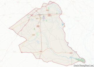
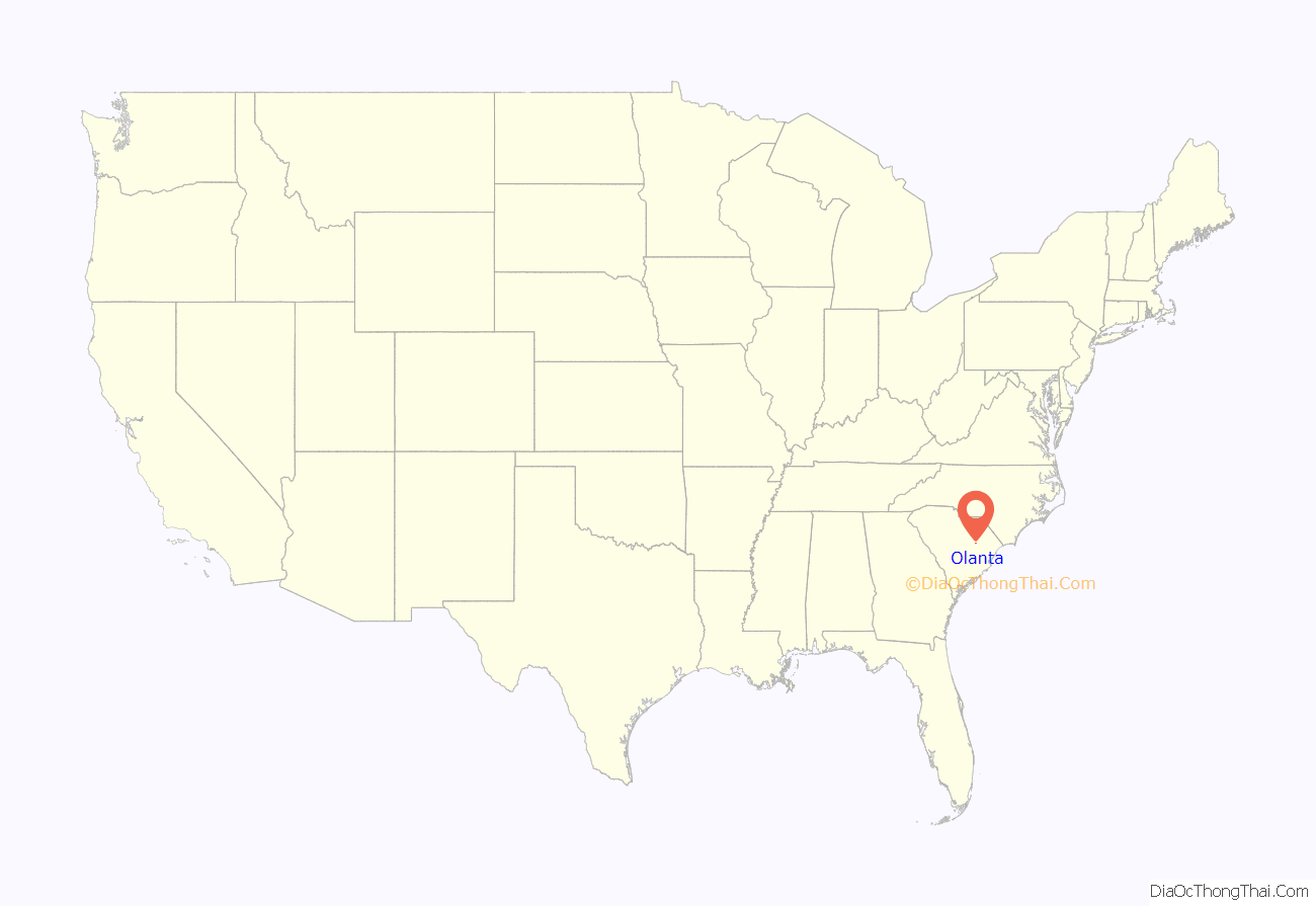
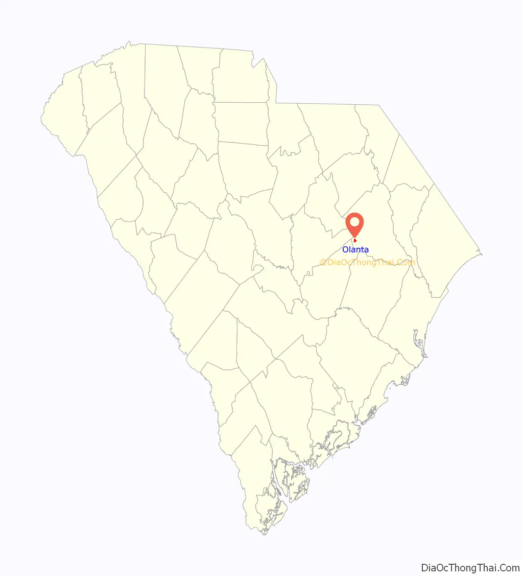
Olanta location map. Where is Olanta town?
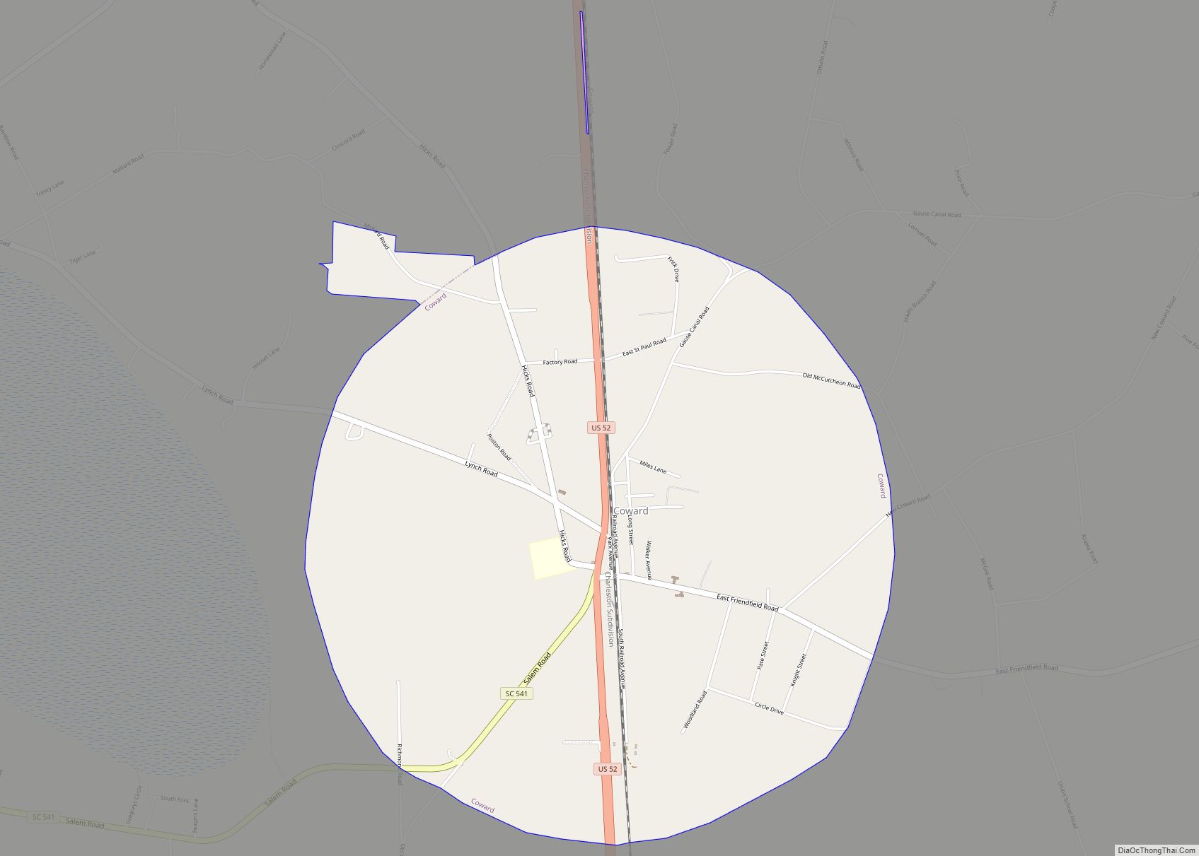
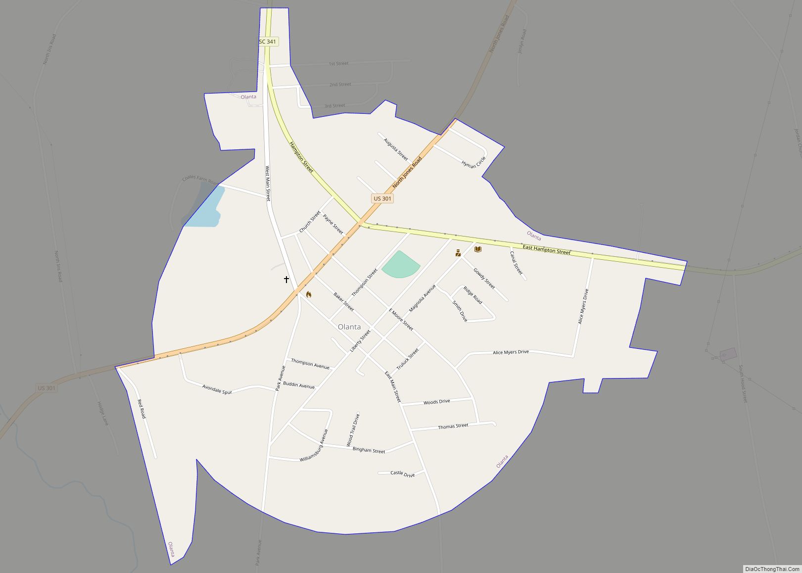
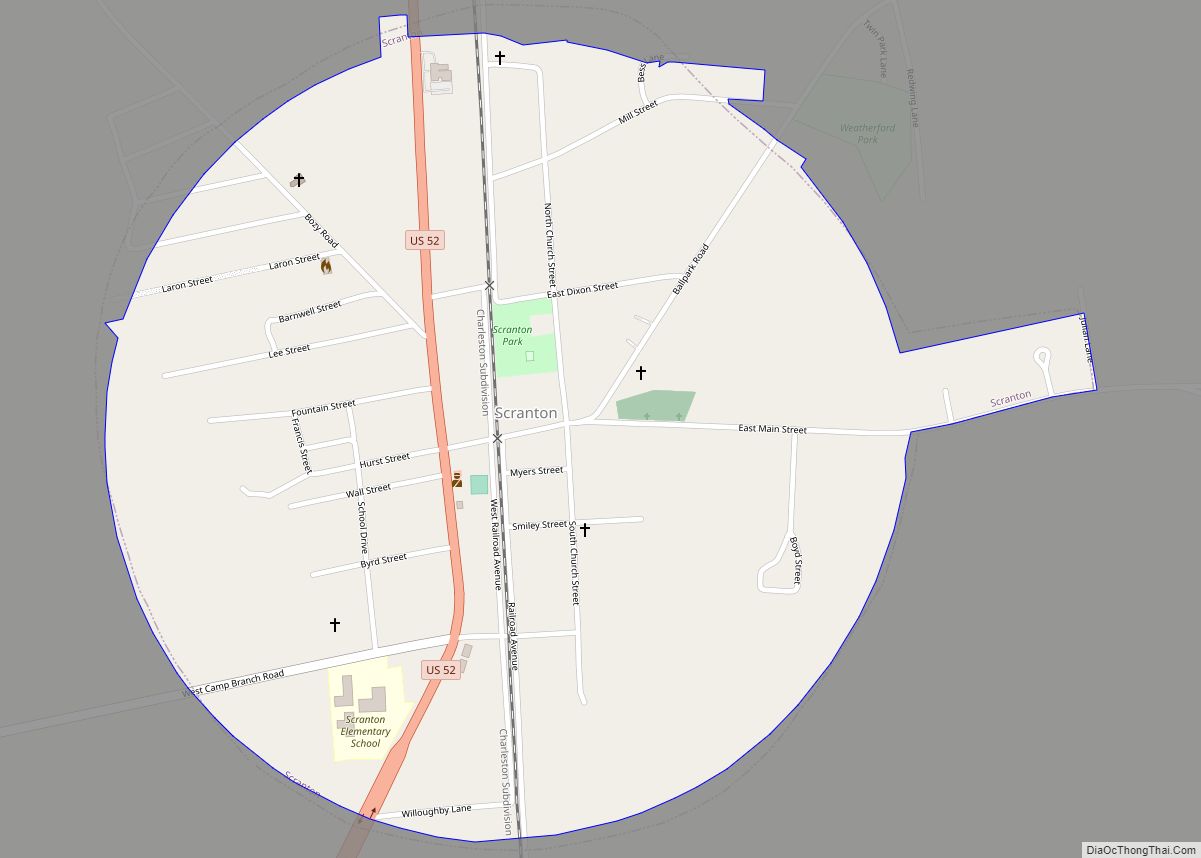
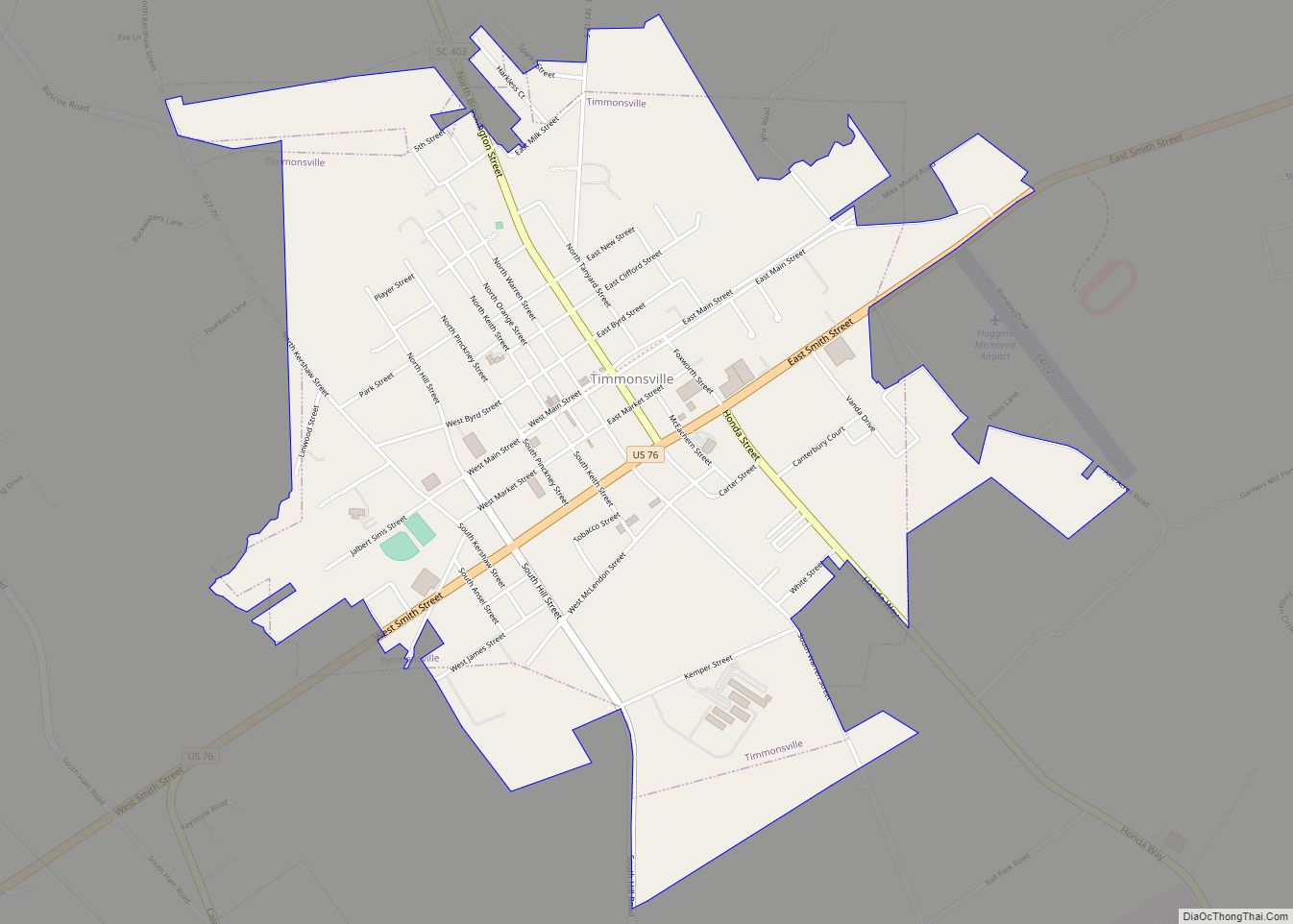
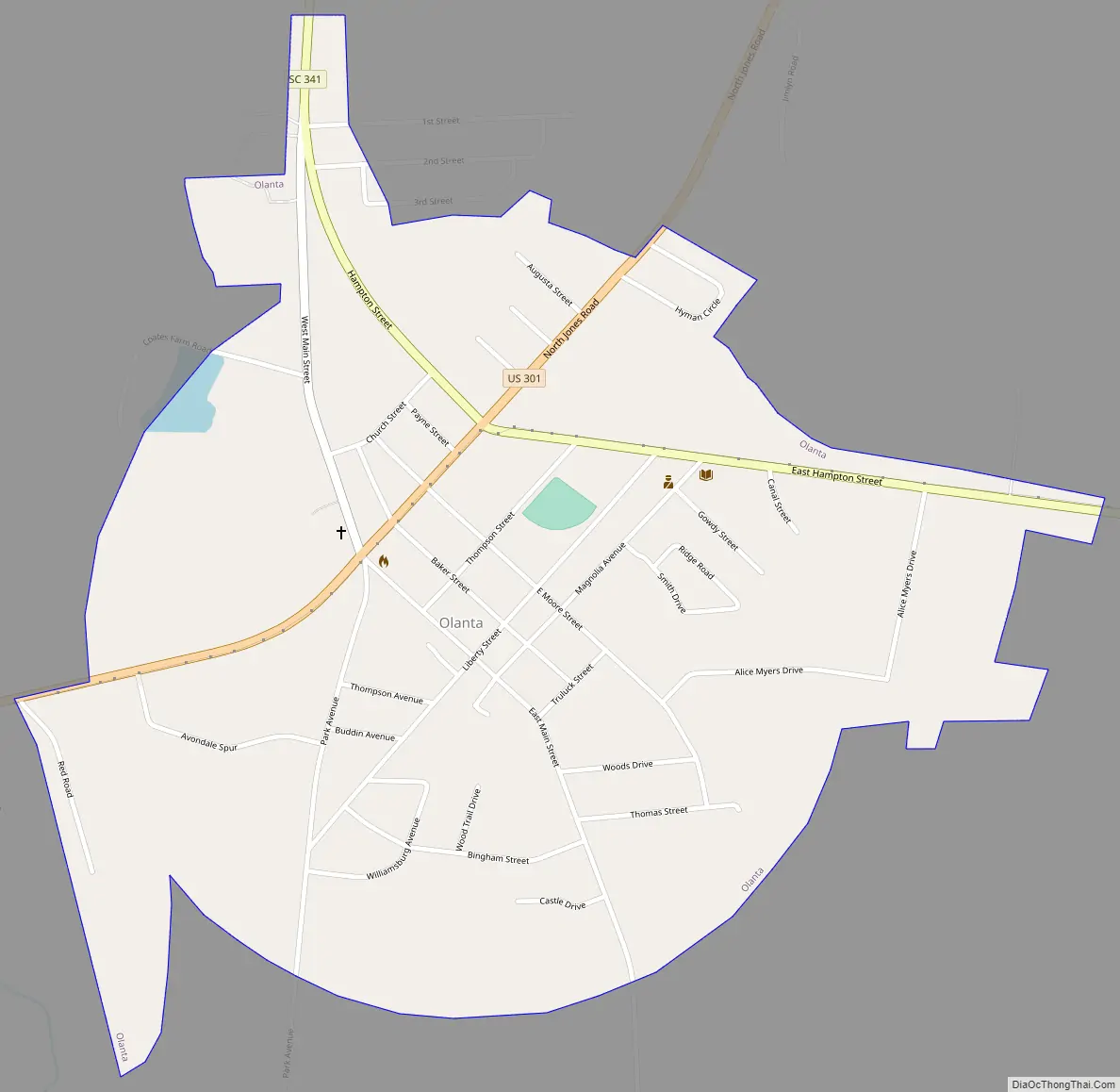
Olanta Road Map
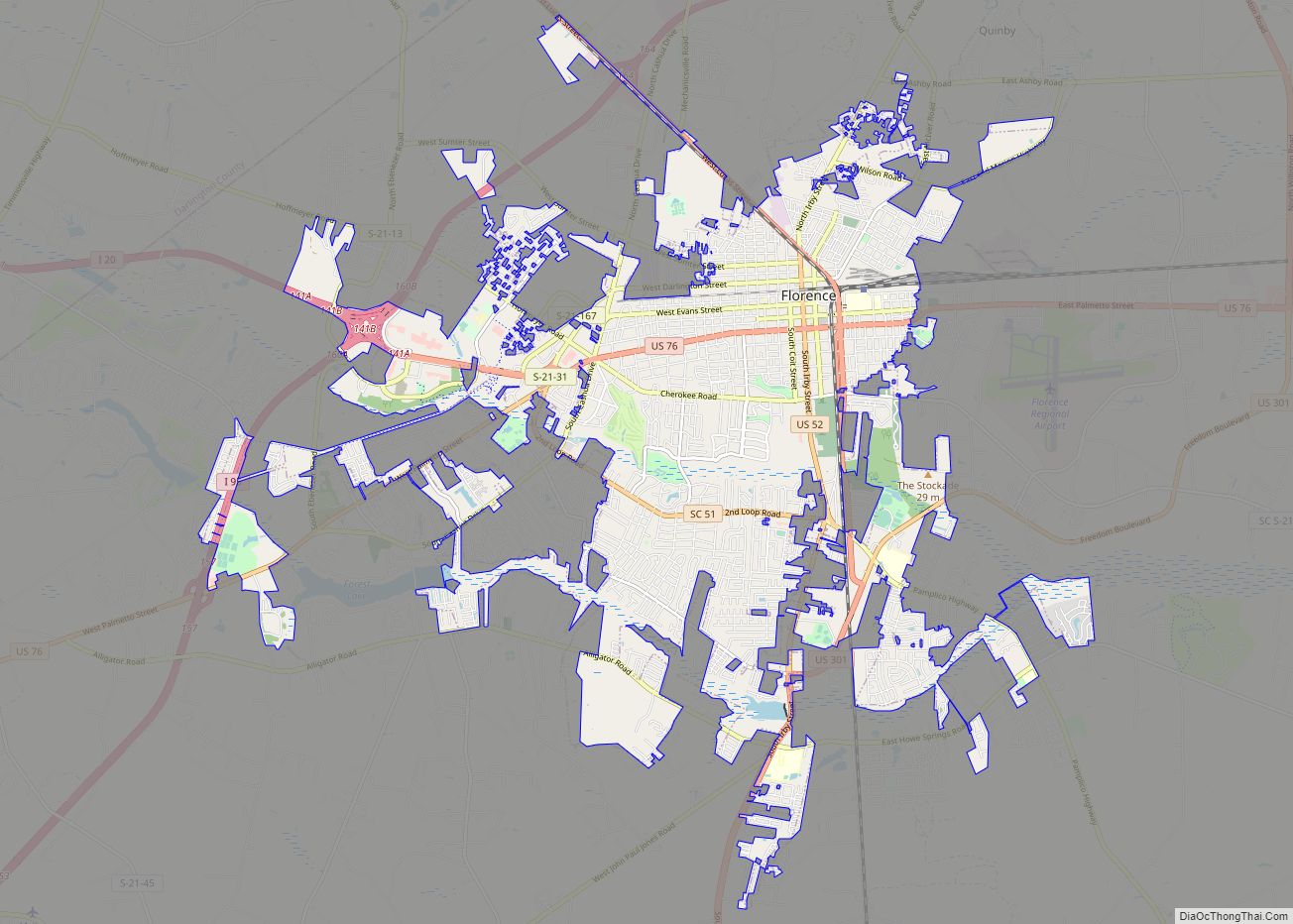
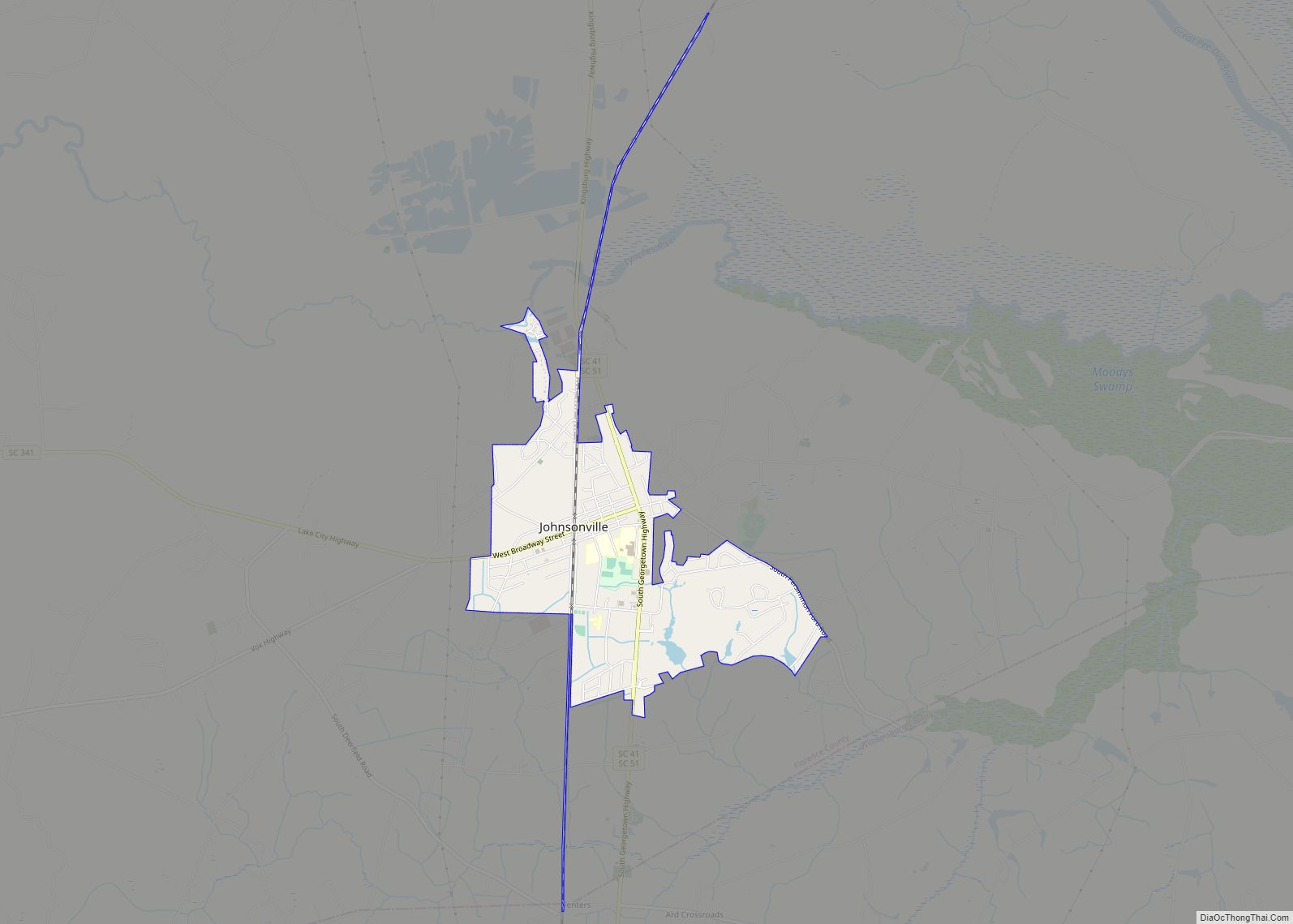
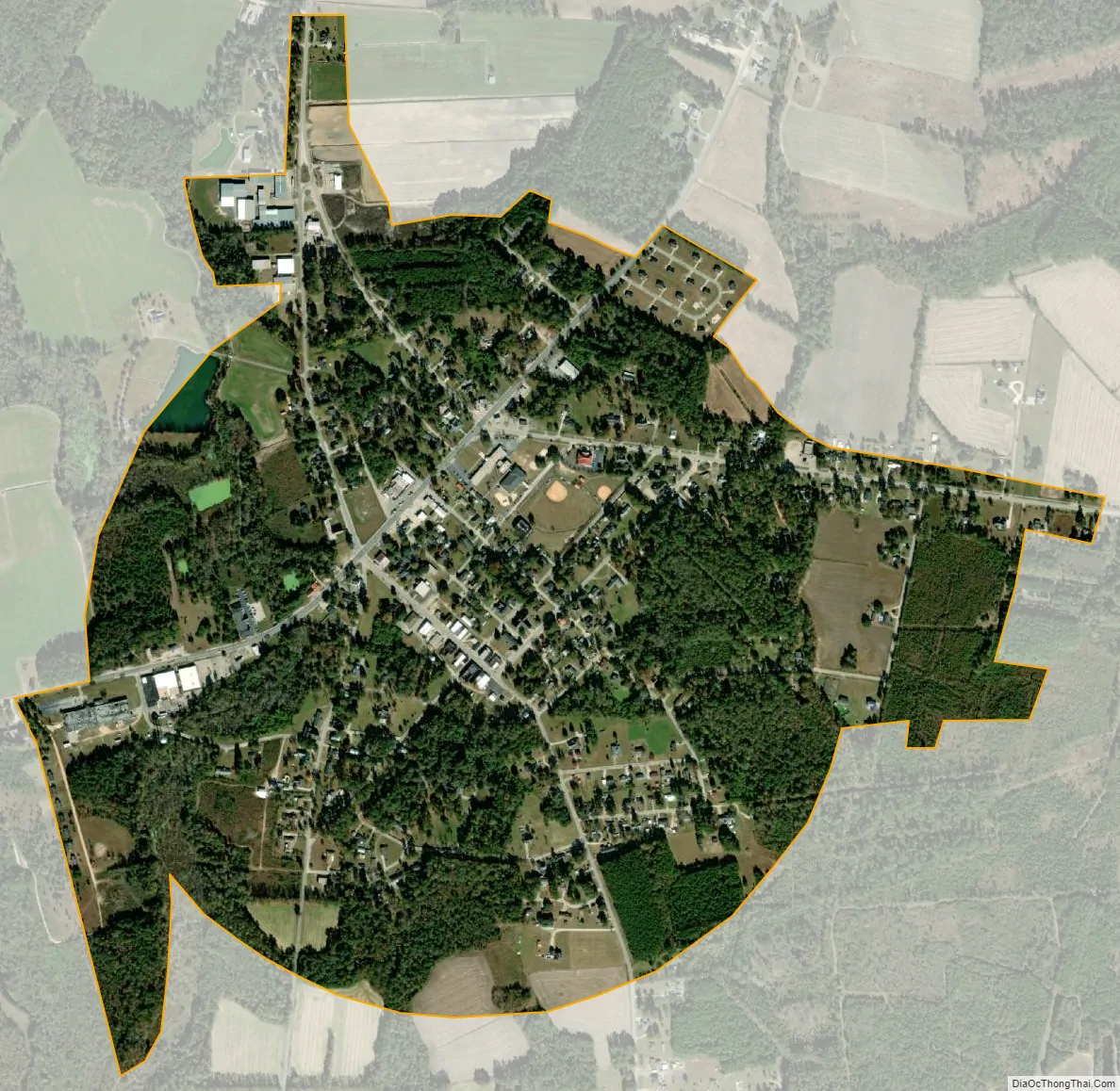
Olanta city Satellite Map
Geography
Olanta is located in south Florence County at 33°56′11″N 79°55′55″W / 33.93639°N 79.93194°W / 33.93639; -79.93194 (33.936256, -79.931944). U.S. Route 301 passes through the town as Jones Road, leading northeast 24 miles (39 km) to Florence, the county seat, and southwest 23 miles (37 km) to Manning. South Carolina Highway 341 leads northwest from Olanta 13 miles (21 km) to Lynchburg and southeast 13 miles to Lake City. South Carolina Highway 541 leads east 12 miles (19 km) to Coward.
According to the United States Census Bureau, the town has a total area of 1.0 square mile (2.6 km), of which 0.004 square miles (0.01 km), or 0.44%, is water.
See also
Map of South Carolina State and its subdivision:- Abbeville
- Aiken
- Allendale
- Anderson
- Bamberg
- Barnwell
- Beaufort
- Berkeley
- Calhoun
- Charleston
- Cherokee
- Chester
- Chesterfield
- Clarendon
- Colleton
- Darlington
- Dillon
- Dorchester
- Edgefield
- Fairfield
- Florence
- Georgetown
- Greenville
- Greenwood
- Hampton
- Horry
- Jasper
- Kershaw
- Lancaster
- Laurens
- Lee
- Lexington
- Marion
- Marlboro
- McCormick
- Newberry
- Oconee
- Orangeburg
- Pickens
- Richland
- Saluda
- Spartanburg
- Sumter
- Union
- Williamsburg
- York
- Alabama
- Alaska
- Arizona
- Arkansas
- California
- Colorado
- Connecticut
- Delaware
- District of Columbia
- Florida
- Georgia
- Hawaii
- Idaho
- Illinois
- Indiana
- Iowa
- Kansas
- Kentucky
- Louisiana
- Maine
- Maryland
- Massachusetts
- Michigan
- Minnesota
- Mississippi
- Missouri
- Montana
- Nebraska
- Nevada
- New Hampshire
- New Jersey
- New Mexico
- New York
- North Carolina
- North Dakota
- Ohio
- Oklahoma
- Oregon
- Pennsylvania
- Rhode Island
- South Carolina
- South Dakota
- Tennessee
- Texas
- Utah
- Vermont
- Virginia
- Washington
- West Virginia
- Wisconsin
- Wyoming