Quinby is a town in Florence County, South Carolina, United States. The population was 932 at the 2010 census, up from 842 in 2000. It is part of the Florence Metropolitan Statistical Area.
| Name: | Quinby town |
|---|---|
| LSAD Code: | 43 |
| LSAD Description: | town (suffix) |
| State: | South Carolina |
| County: | Florence County |
| Elevation: | 118 ft (36 m) |
| Total Area: | 1.31 sq mi (3.38 km²) |
| Land Area: | 1.31 sq mi (3.38 km²) |
| Water Area: | 0.00 sq mi (0.00 km²) |
| Total Population: | 915 |
| Population Density: | 700.08/sq mi (270.33/km²) |
| ZIP code: | 29506 |
| Area code: | 843, 854 |
| FIPS code: | 4558795 |
| GNISfeature ID: | 1253496 |
| Website: | www.townofquinby.com |
Online Interactive Map
Click on ![]() to view map in "full screen" mode.
to view map in "full screen" mode.
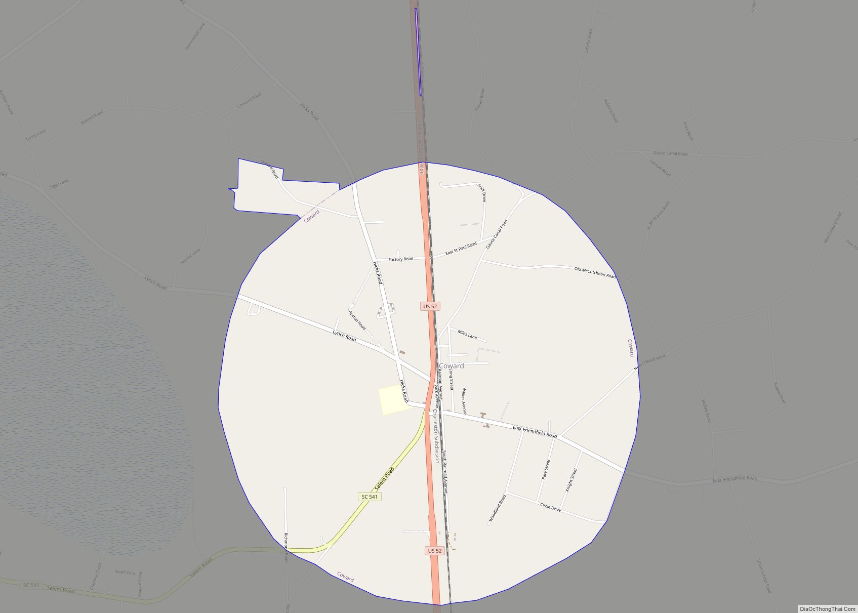
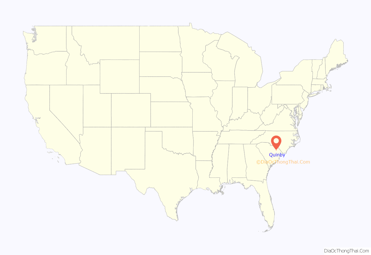
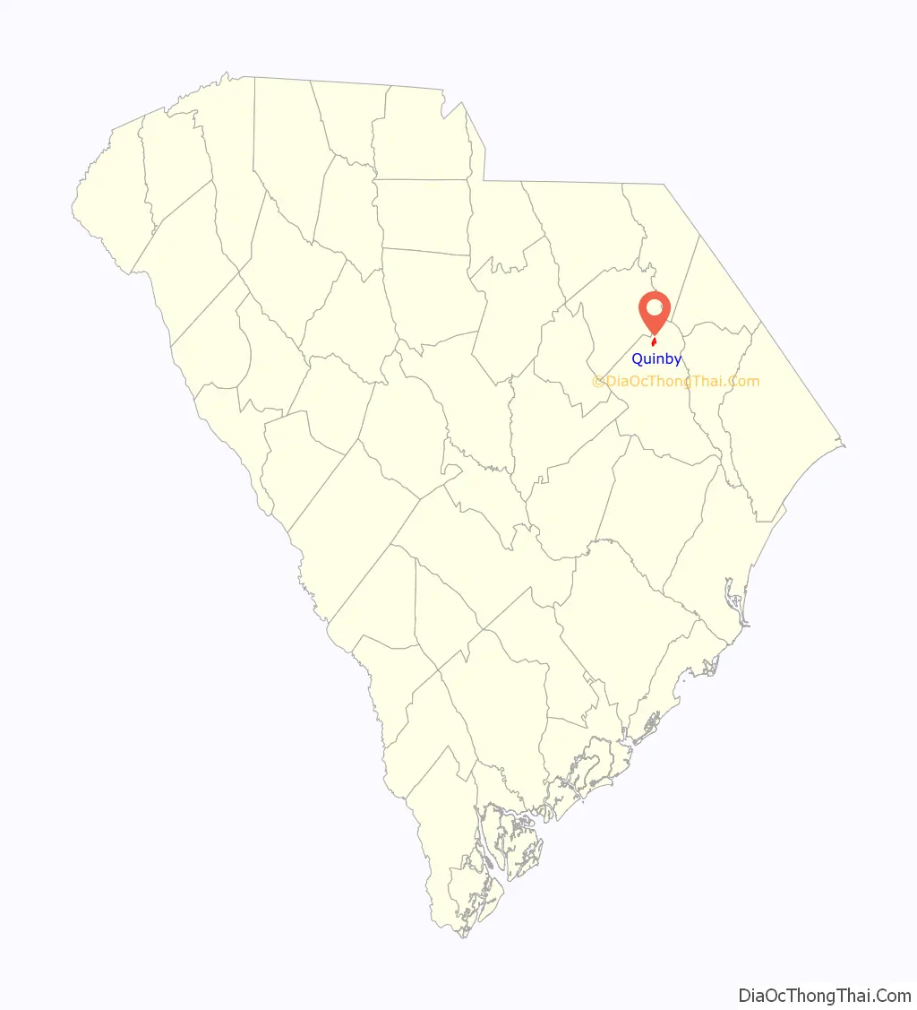
Quinby location map. Where is Quinby town?
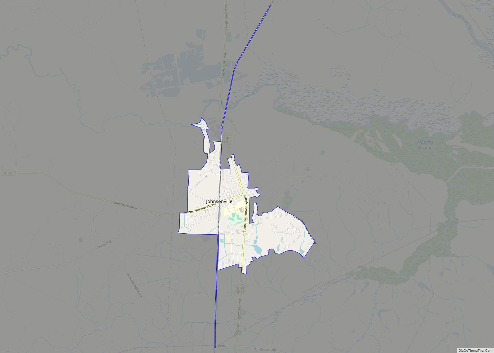
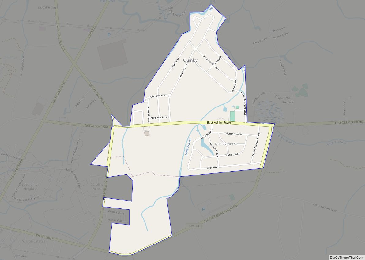
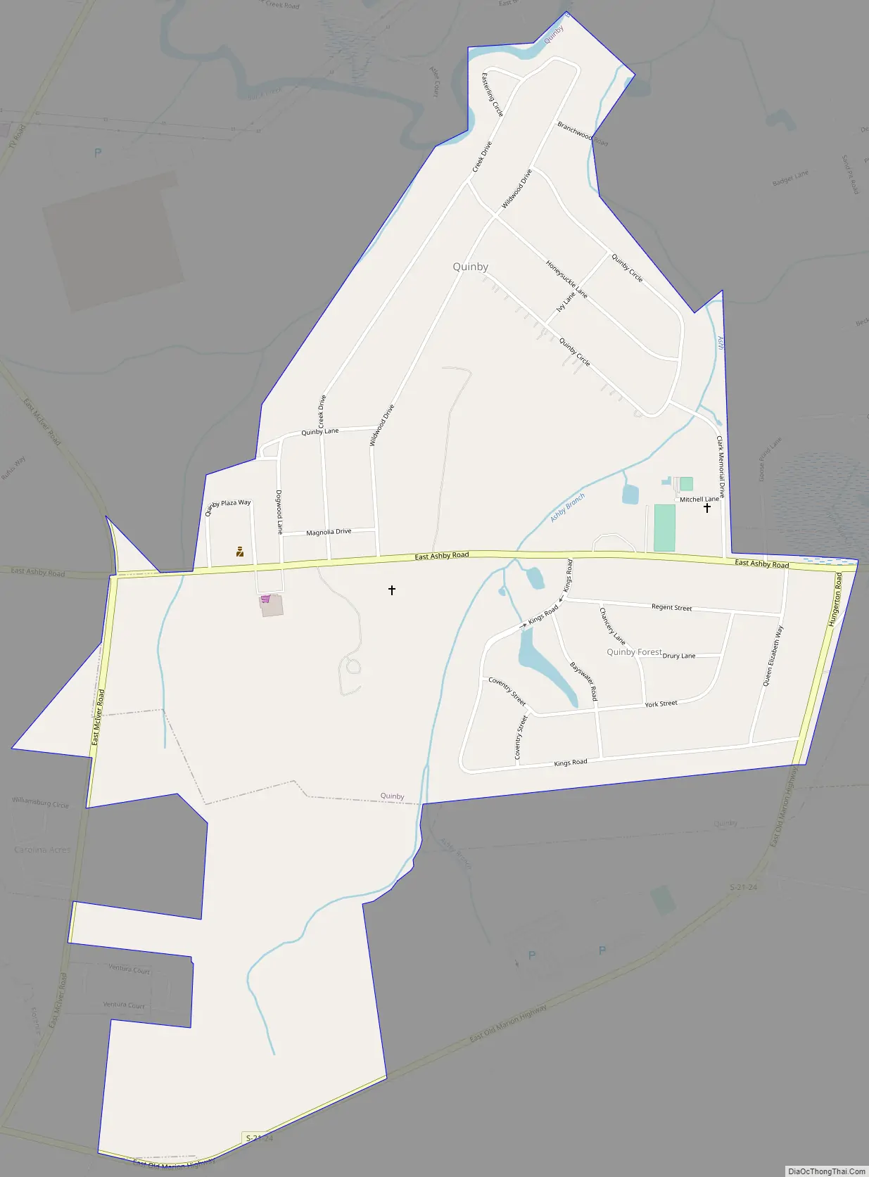
Quinby Road Map
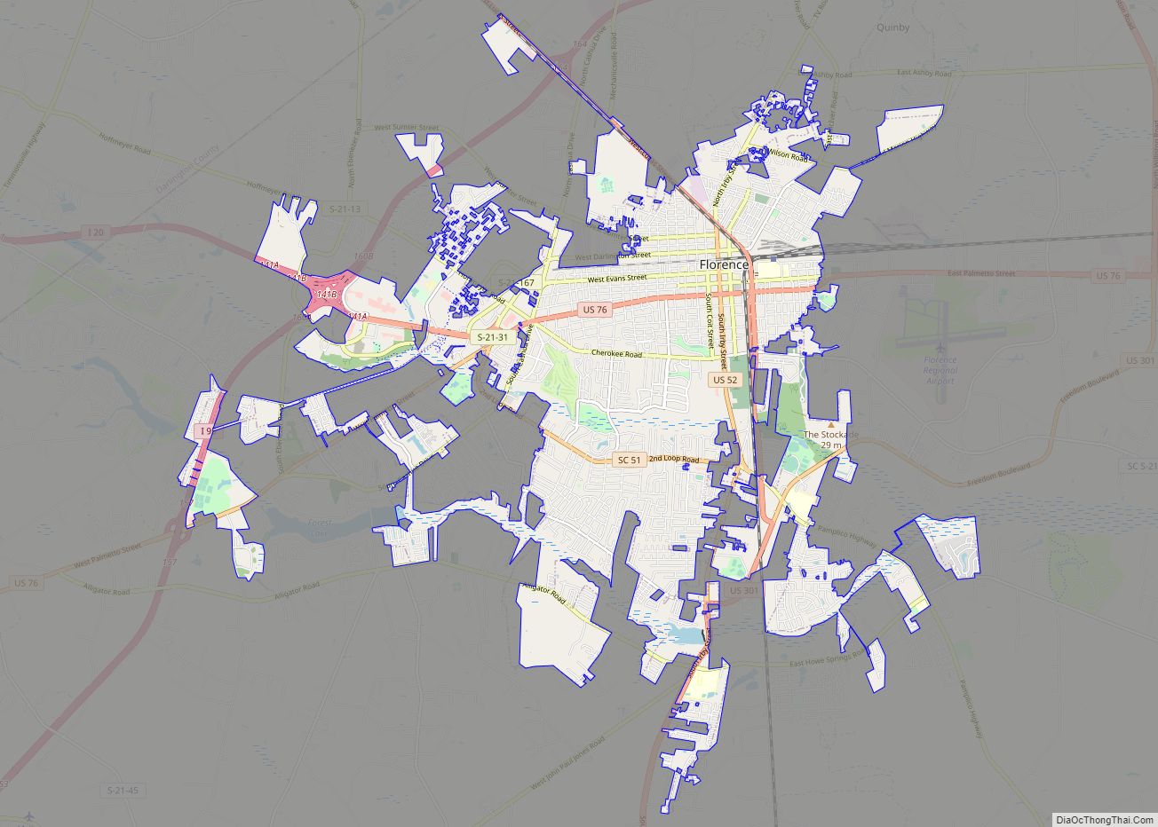
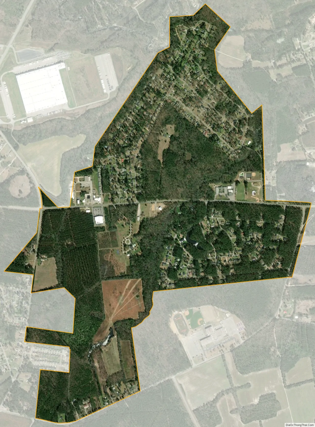
Quinby city Satellite Map
Geography
Quinby is located in northern Florence County at 34°13′42″N 79°43′57″W / 34.22833°N 79.73250°W / 34.22833; -79.73250 (34.228445, -79.732460). It is bordered on the south and west by the city of Florence, the county seat. The town limits extend north to Black Creek, a tributary of the Pee Dee River. Interstate 95 passes north and west of the town, with the closest access from Exit 169, 3 miles (5 km) to the north.
According to the United States Census Bureau, the town has a total area of 1.4 square miles (3.5 km), all land.
See also
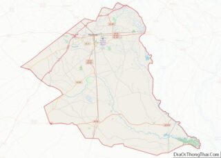
Map of South Carolina State and its subdivision:- Abbeville
- Aiken
- Allendale
- Anderson
- Bamberg
- Barnwell
- Beaufort
- Berkeley
- Calhoun
- Charleston
- Cherokee
- Chester
- Chesterfield
- Clarendon
- Colleton
- Darlington
- Dillon
- Dorchester
- Edgefield
- Fairfield
- Florence
- Georgetown
- Greenville
- Greenwood
- Hampton
- Horry
- Jasper
- Kershaw
- Lancaster
- Laurens
- Lee
- Lexington
- Marion
- Marlboro
- McCormick
- Newberry
- Oconee
- Orangeburg
- Pickens
- Richland
- Saluda
- Spartanburg
- Sumter
- Union
- Williamsburg
- York
- Alabama
- Alaska
- Arizona
- Arkansas
- California
- Colorado
- Connecticut
- Delaware
- District of Columbia
- Florida
- Georgia
- Hawaii
- Idaho
- Illinois
- Indiana
- Iowa
- Kansas
- Kentucky
- Louisiana
- Maine
- Maryland
- Massachusetts
- Michigan
- Minnesota
- Mississippi
- Missouri
- Montana
- Nebraska
- Nevada
- New Hampshire
- New Jersey
- New Mexico
- New York
- North Carolina
- North Dakota
- Ohio
- Oklahoma
- Oregon
- Pennsylvania
- Rhode Island
- South Carolina
- South Dakota
- Tennessee
- Texas
- Utah
- Vermont
- Virginia
- Washington
- West Virginia
- Wisconsin
- Wyoming