Greenwood is a city in Clark County in the U.S. state of Wisconsin. The population was 1,026 at the 2010 census.
| Name: | Greenwood city |
|---|---|
| LSAD Code: | 25 |
| LSAD Description: | city (suffix) |
| State: | Wisconsin |
| County: | Clark County |
| Elevation: | 1,181 ft (360 m) |
| Total Area: | 2.76 sq mi (7.15 km²) |
| Land Area: | 2.68 sq mi (6.93 km²) |
| Water Area: | 0.08 sq mi (0.22 km²) |
| Total Population: | 1,026 |
| Population Density: | 372.94/sq mi (143.97/km²) |
| Area code: | 715 & 534 |
| FIPS code: | 5531575 |
| GNISfeature ID: | 1565856 |
| Website: | greenwoodwi.com |
Online Interactive Map
Click on ![]() to view map in "full screen" mode.
to view map in "full screen" mode.
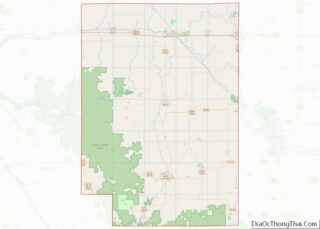
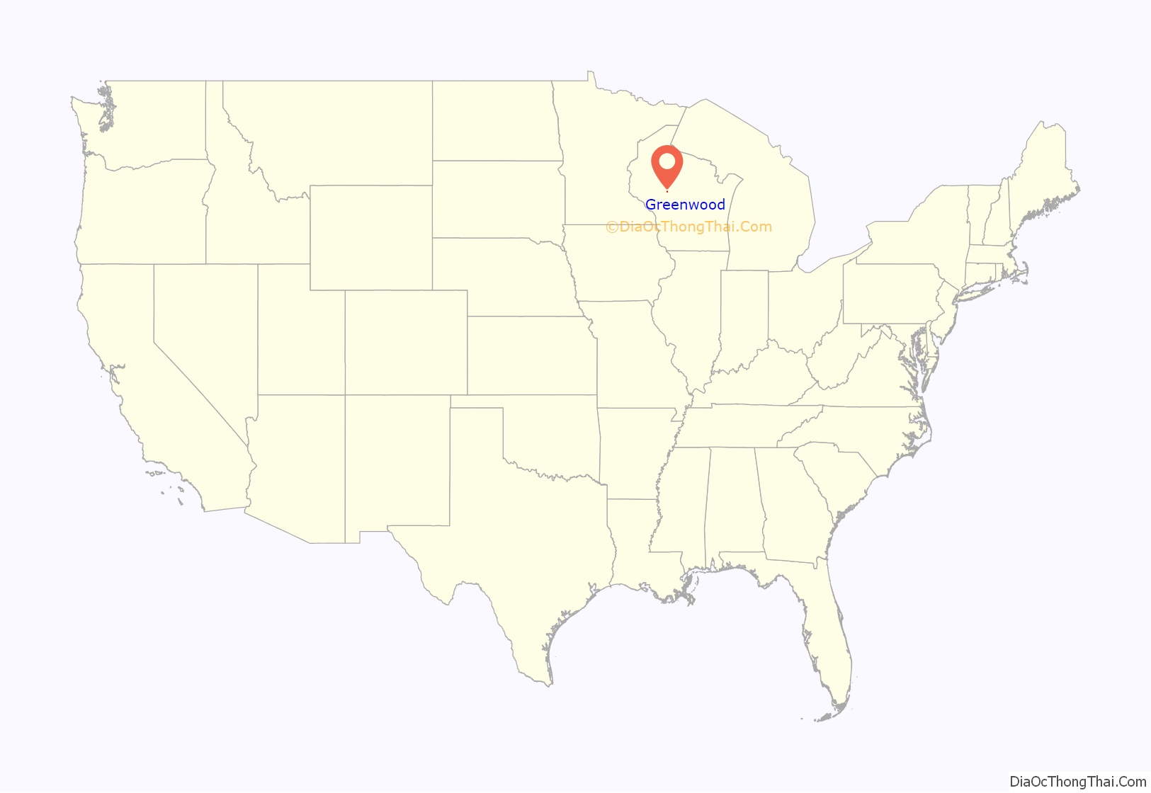
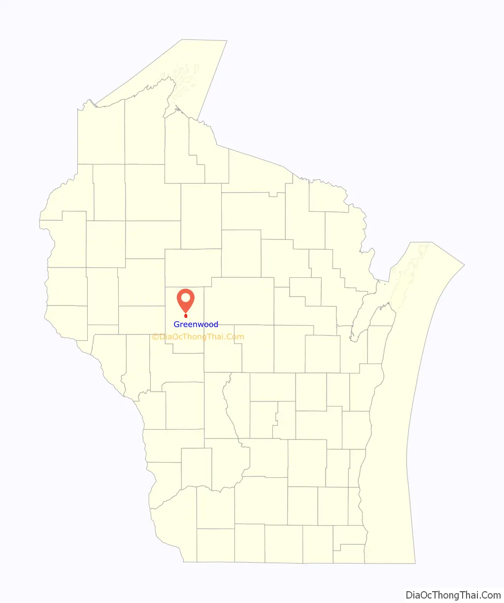
Greenwood location map. Where is Greenwood city?
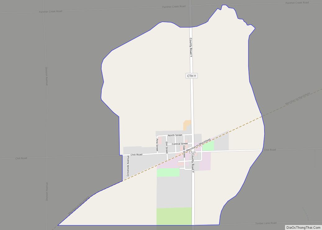
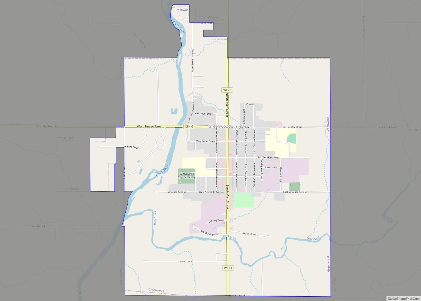
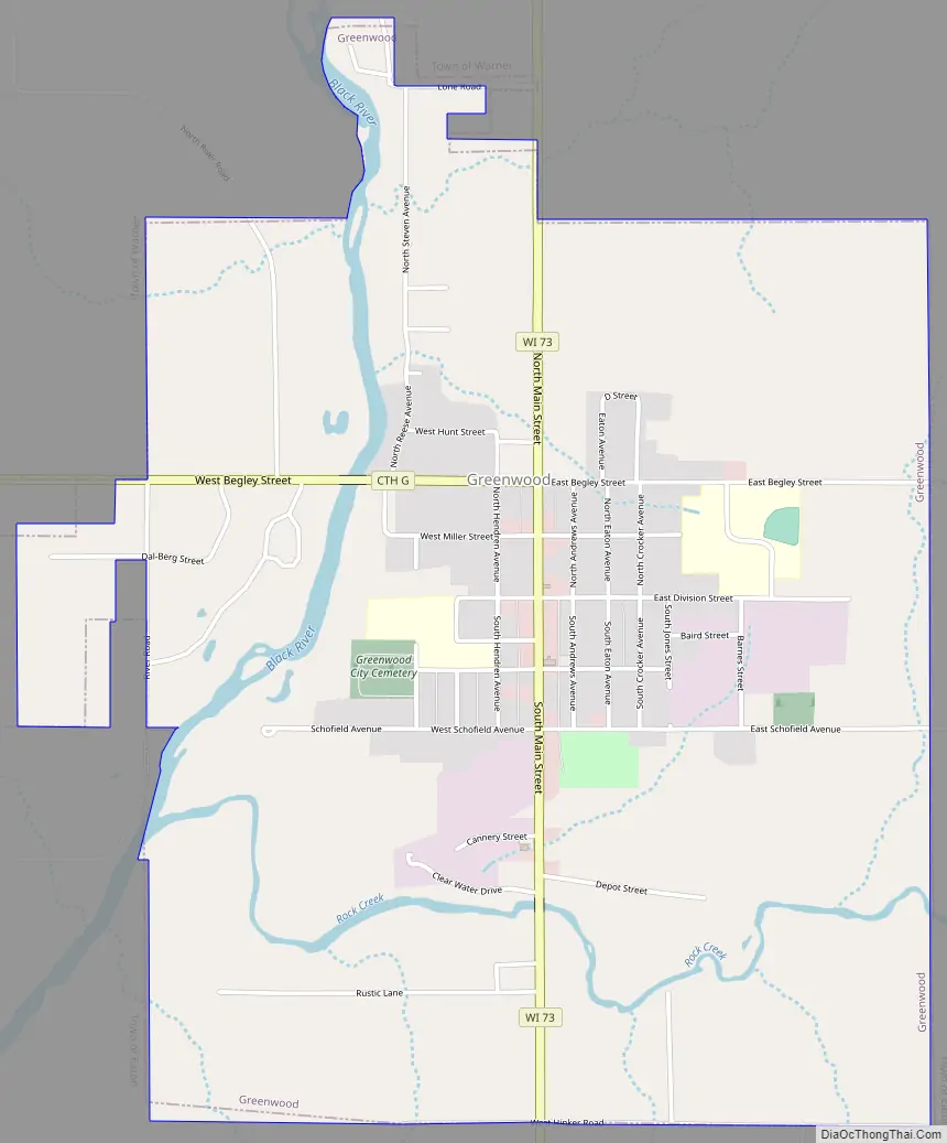
Greenwood Road Map
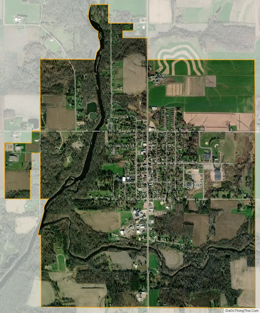
Greenwood city Satellite Map
Geography
Greenwood is located at 44°46′4″N 90°35′56″W / 44.76778°N 90.59889°W / 44.76778; -90.59889 (44.767826, -90.598959).
According to the United States Census Bureau, the city has a total area of 2.86 square miles (7.41 km), of which, 2.78 square miles (7.20 km) is land and 0.08 square miles (0.21 km) is water.
The town has a peace memorial, created by Ernest Durig from an artificial stone made using concrete and fine white sand. Unveiled in 1937, it was restored in 1982, and sits adjacent to the 1934 City Hall, on the corner of Main Street and Division Street.
See also
Map of Wisconsin State and its subdivision:- Adams
- Ashland
- Barron
- Bayfield
- Brown
- Buffalo
- Burnett
- Calumet
- Chippewa
- Clark
- Columbia
- Crawford
- Dane
- Dodge
- Door
- Douglas
- Dunn
- Eau Claire
- Florence
- Fond du Lac
- Forest
- Grant
- Green
- Green Lake
- Iowa
- Iron
- Jackson
- Jefferson
- Juneau
- Kenosha
- Kewaunee
- La Crosse
- Lafayette
- Lake Michigan
- Lake Superior
- Langlade
- Lincoln
- Manitowoc
- Marathon
- Marinette
- Marquette
- Menominee
- Milwaukee
- Monroe
- Oconto
- Oneida
- Outagamie
- Ozaukee
- Pepin
- Pierce
- Polk
- Portage
- Price
- Racine
- Richland
- Rock
- Rusk
- Saint Croix
- Sauk
- Sawyer
- Shawano
- Sheboygan
- Taylor
- Trempealeau
- Vernon
- Vilas
- Walworth
- Washburn
- Washington
- Waukesha
- Waupaca
- Waushara
- Winnebago
- Wood
- Alabama
- Alaska
- Arizona
- Arkansas
- California
- Colorado
- Connecticut
- Delaware
- District of Columbia
- Florida
- Georgia
- Hawaii
- Idaho
- Illinois
- Indiana
- Iowa
- Kansas
- Kentucky
- Louisiana
- Maine
- Maryland
- Massachusetts
- Michigan
- Minnesota
- Mississippi
- Missouri
- Montana
- Nebraska
- Nevada
- New Hampshire
- New Jersey
- New Mexico
- New York
- North Carolina
- North Dakota
- Ohio
- Oklahoma
- Oregon
- Pennsylvania
- Rhode Island
- South Carolina
- South Dakota
- Tennessee
- Texas
- Utah
- Vermont
- Virginia
- Washington
- West Virginia
- Wisconsin
- Wyoming