Maumelle is a city in Pulaski County, Arkansas, United States. As of the 2020 census, the city’s population was 19,251. The city is located northwest of Little Rock, bordering the opposite shore of the Arkansas River and is part of the Little Rock metropolitan area.
| Name: | Maumelle city |
|---|---|
| LSAD Code: | 25 |
| LSAD Description: | city (suffix) |
| State: | Arkansas |
| County: | Pulaski County |
| Founded: | 1974 |
| Incorporated: | 1985 |
| Elevation: | 351 ft (107 m) |
| Land Area: | 12.08 sq mi (31.28 km²) |
| Water Area: | 1.24 sq mi (3.22 km²) |
| Population Density: | 1,594.15/sq mi (615.50/km²) |
| ZIP code: | 72113, 72118 |
| Area code: | 501 |
| FIPS code: | 0544600 |
| GNISfeature ID: | 0067577 |
| Website: | www.maumelle.org |
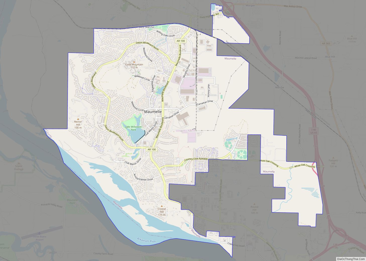
Online Interactive Map
Click on ![]() to view map in "full screen" mode.
to view map in "full screen" mode.
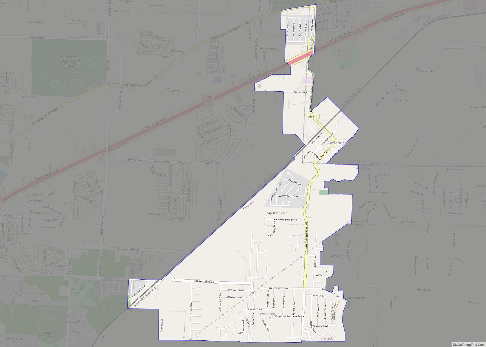
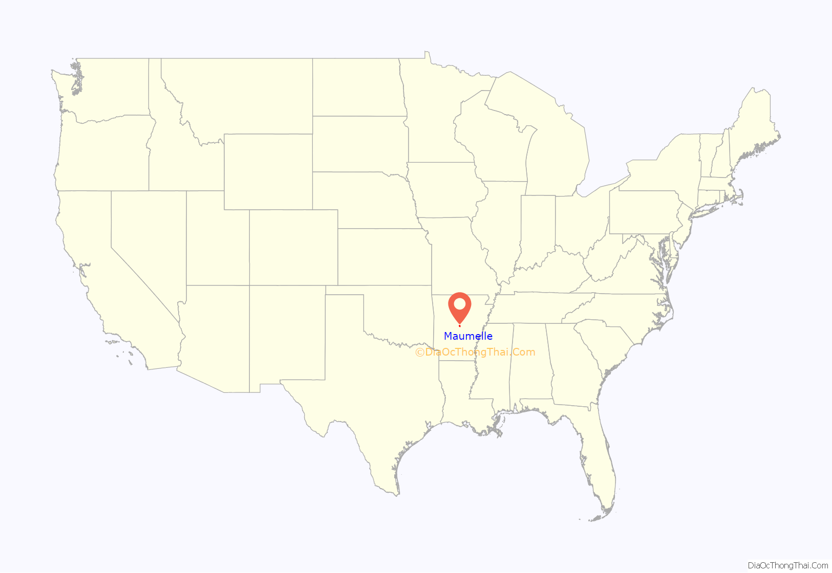
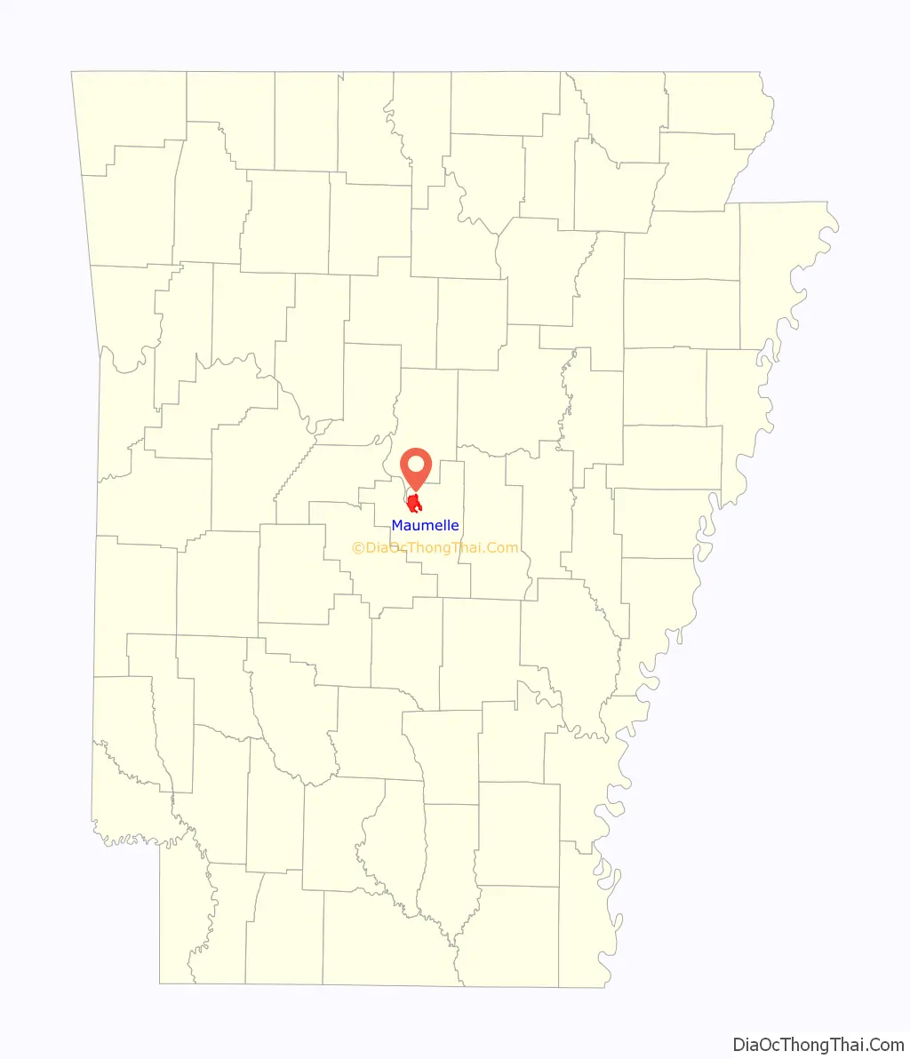
Maumelle location map. Where is Maumelle city?
History
Maumelle was founded by Jess Odom with federal assistance from the Urban Growth and New Community Development Act. Maumelle was the location of the second oldest Target Corporation distribution center; the center closed in 2009.
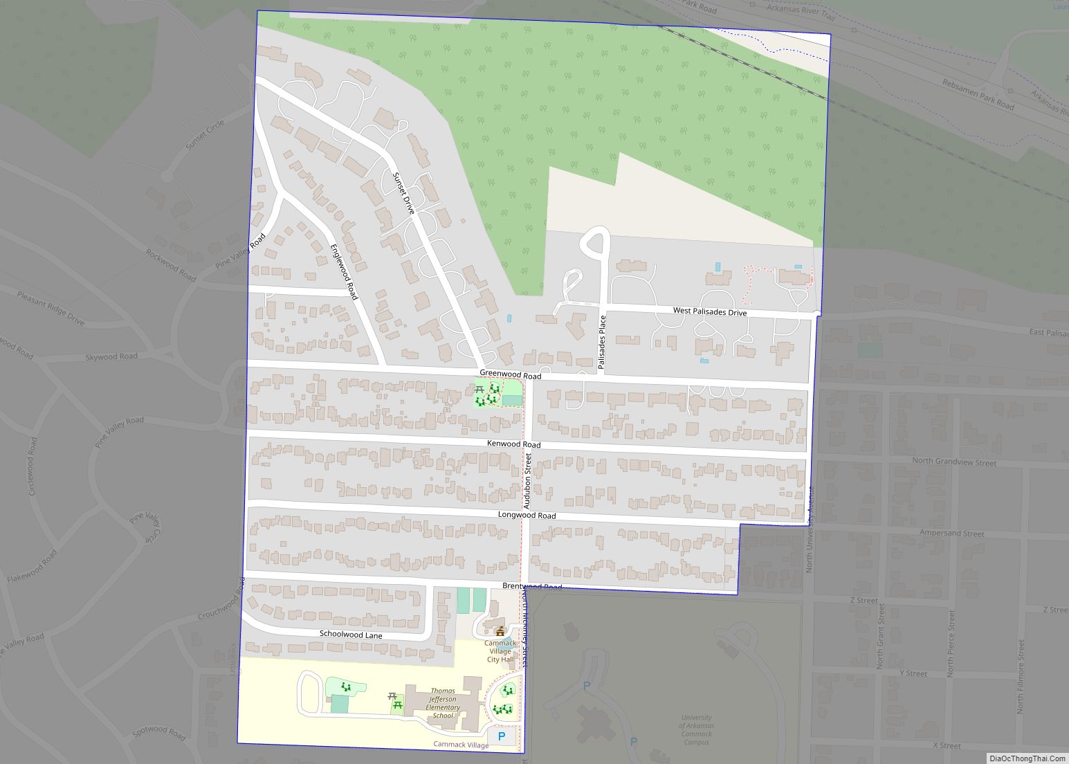
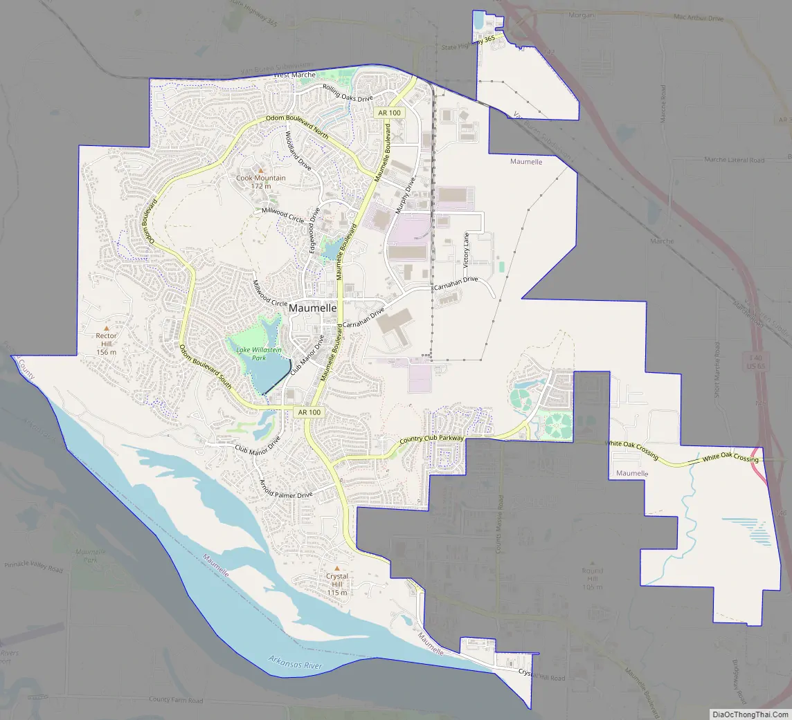
Maumelle Road Map
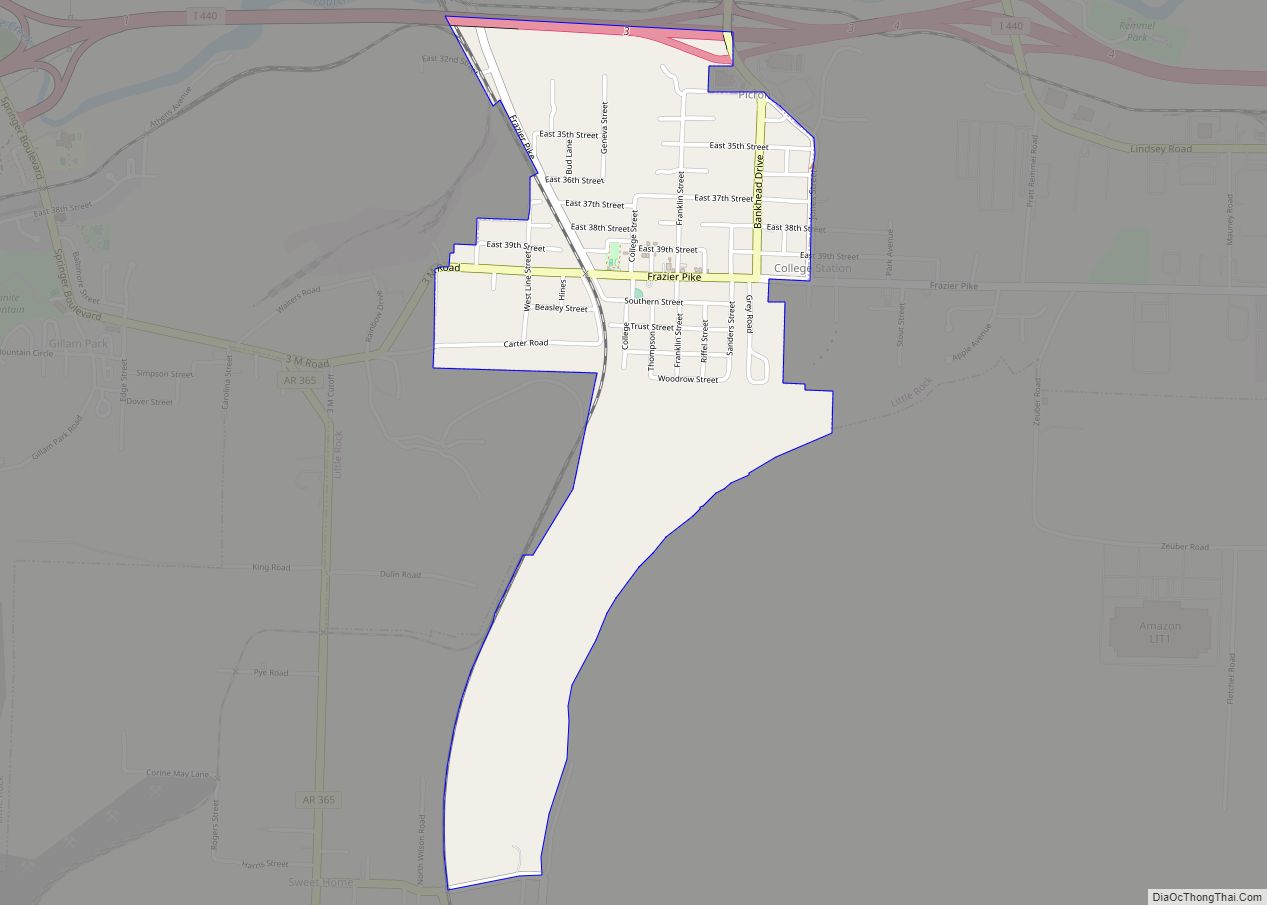
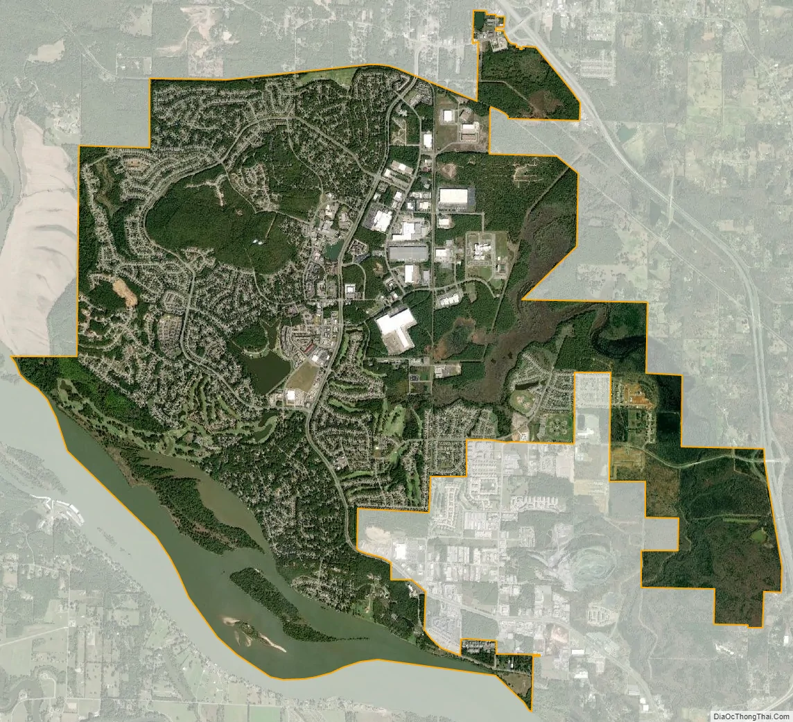
Maumelle city Satellite Map
Geography
According to the United States Census Bureau, the city has a total area of 12.05 square miles (31.2 km), of which 8.8 square miles (23 km) is land and 0.5 square miles (1.3 km) (5.07%) is water.
See also
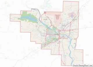
Map of Arkansas State and its subdivision:- Arkansas
- Ashley
- Baxter
- Benton
- Boone
- Bradley
- Calhoun
- Carroll
- Chicot
- Clark
- Clay
- Cleburne
- Cleveland
- Columbia
- Conway
- Craighead
- Crawford
- Crittenden
- Cross
- Dallas
- Desha
- Drew
- Faulkner
- Franklin
- Fulton
- Garland
- Grant
- Greene
- Hempstead
- Hot Spring
- Howard
- Independence
- Izard
- Jackson
- Jefferson
- Johnson
- Lafayette
- Lawrence
- Lee
- Lincoln
- Little River
- Logan
- Lonoke
- Madison
- Marion
- Miller
- Mississippi
- Monroe
- Montgomery
- Nevada
- Newton
- Ouachita
- Perry
- Phillips
- Pike
- Poinsett
- Polk
- Pope
- Prairie
- Pulaski
- Randolph
- Saint Francis
- Saline
- Scott
- Searcy
- Sebastian
- Sevier
- Sharp
- Stone
- Union
- Van Buren
- Washington
- White
- Woodruff
- Yell
- Alabama
- Alaska
- Arizona
- Arkansas
- California
- Colorado
- Connecticut
- Delaware
- District of Columbia
- Florida
- Georgia
- Hawaii
- Idaho
- Illinois
- Indiana
- Iowa
- Kansas
- Kentucky
- Louisiana
- Maine
- Maryland
- Massachusetts
- Michigan
- Minnesota
- Mississippi
- Missouri
- Montana
- Nebraska
- Nevada
- New Hampshire
- New Jersey
- New Mexico
- New York
- North Carolina
- North Dakota
- Ohio
- Oklahoma
- Oregon
- Pennsylvania
- Rhode Island
- South Carolina
- South Dakota
- Tennessee
- Texas
- Utah
- Vermont
- Virginia
- Washington
- West Virginia
- Wisconsin
- Wyoming