O’Kean is a town in Randolph County, Arkansas, United States. The population was 192 at the 2020 census.
| Name: | O’Kean town |
|---|---|
| LSAD Code: | 43 |
| LSAD Description: | town (suffix) |
| State: | Arkansas |
| County: | Randolph County |
| Elevation: | 269 ft (82 m) |
| Total Area: | 1.02 sq mi (2.64 km²) |
| Land Area: | 1.02 sq mi (2.64 km²) |
| Water Area: | 0.00 sq mi (0.00 km²) |
| Total Population: | 192 |
| Population Density: | 188.24/sq mi (72.68/km²) |
| ZIP code: | 72449 |
| Area code: | 870 |
| FIPS code: | 0551500 |
| GNISfeature ID: | 2407040 |
Online Interactive Map
Click on ![]() to view map in "full screen" mode.
to view map in "full screen" mode.
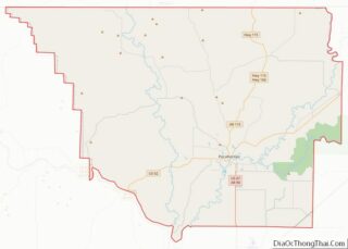
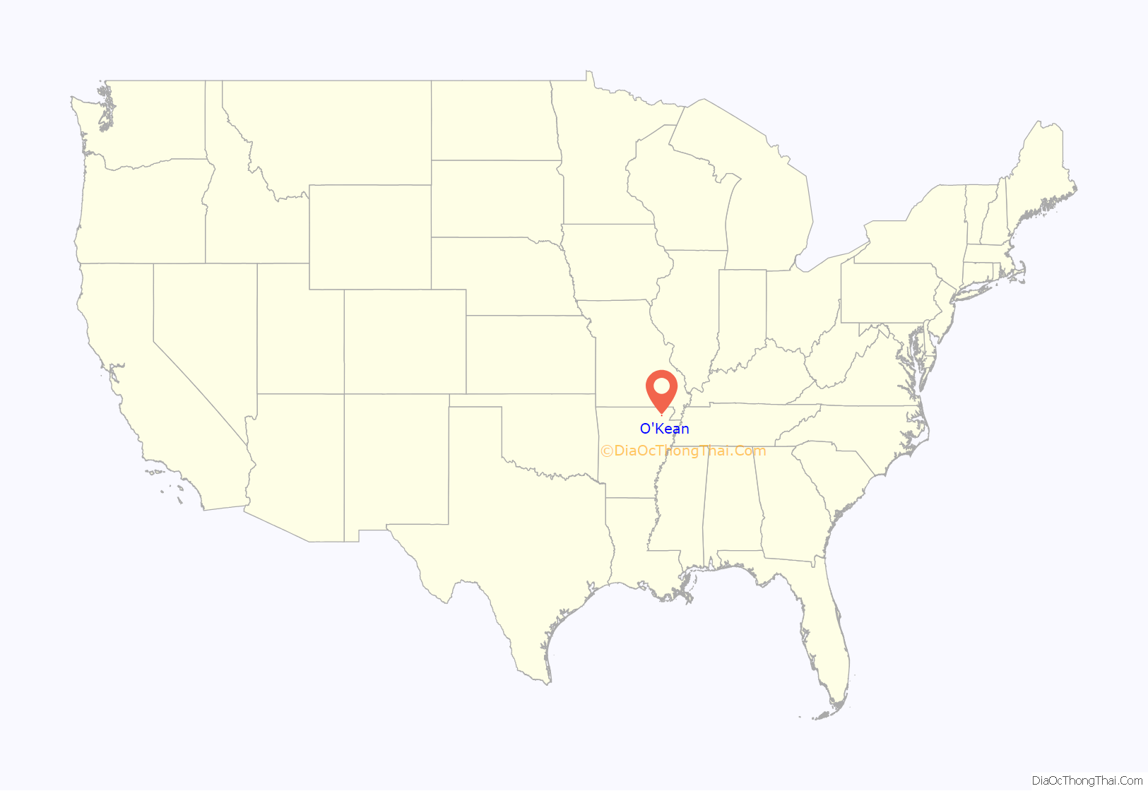
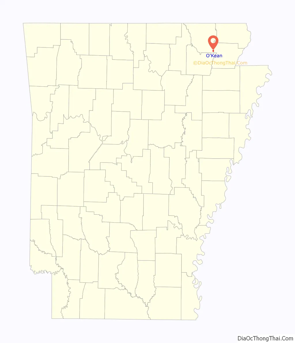
O’Kean location map. Where is O’Kean town?
History
O’Kean was settled before the Civil War, and is named for the priest of the St. Paul’s Catholic Church, Father James O’Kean, who frequently stopped in the community en route to nearby Pocahontas. With the construction of the St. Louis, Iron Mountain and Southern Railway in the 1870s, O’Kean expanded rapidly. A railroad tie manufacturing operation was among the businesses established in the city during the period. O’Kean incorporated in 1913.
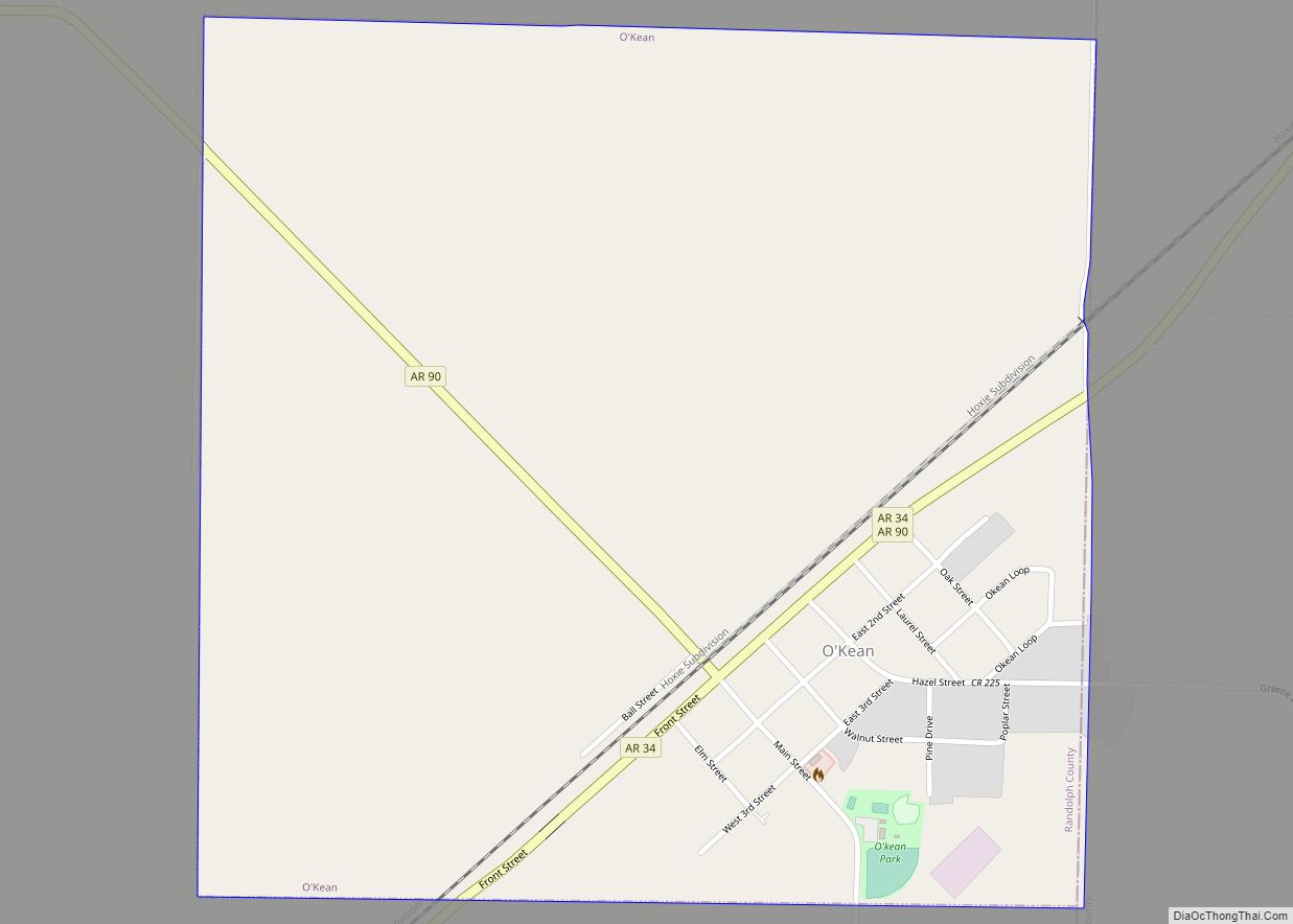
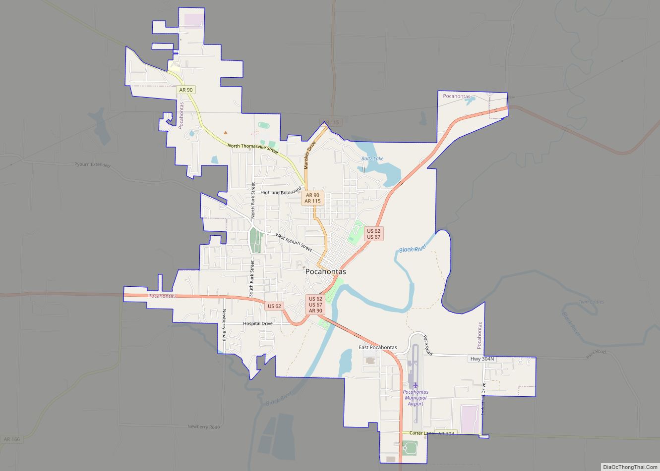
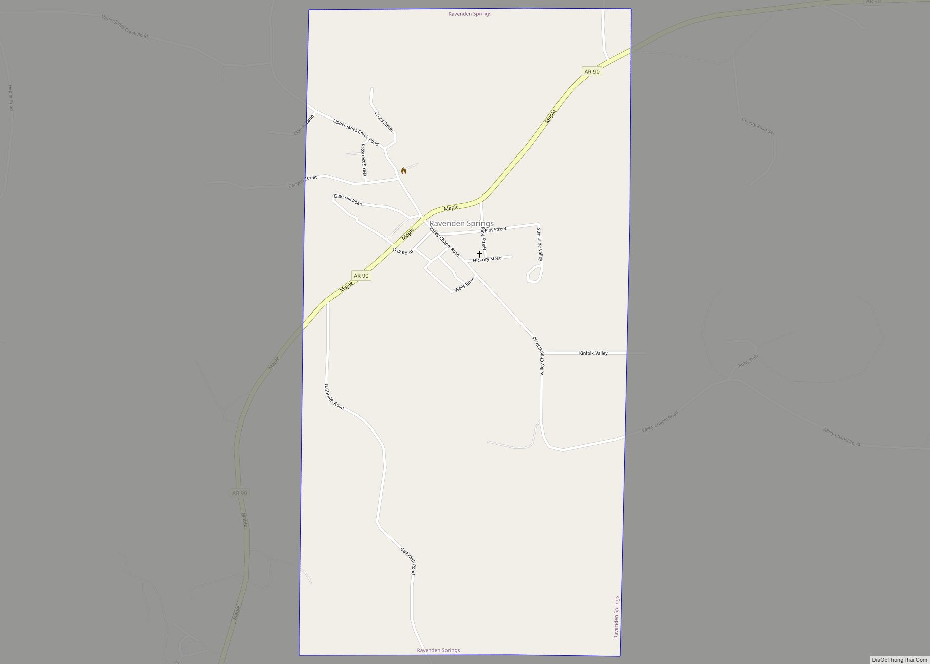
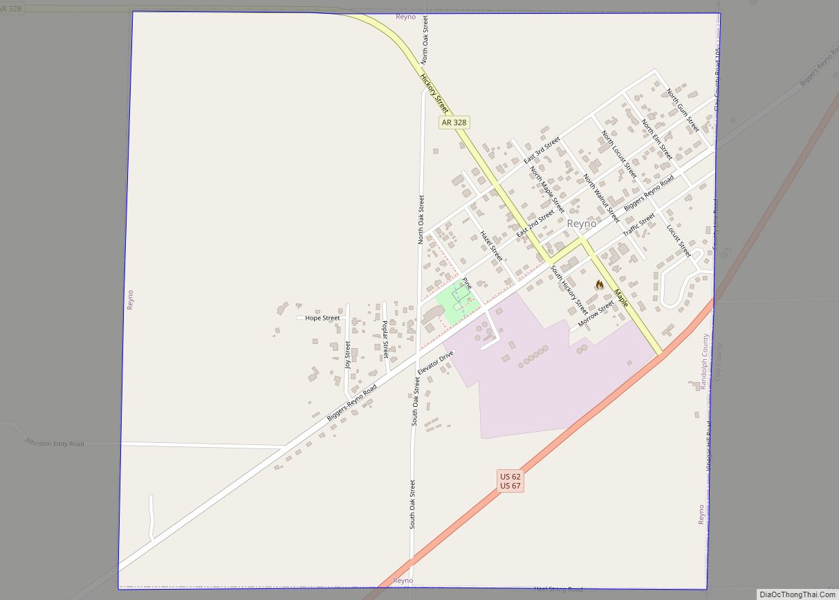
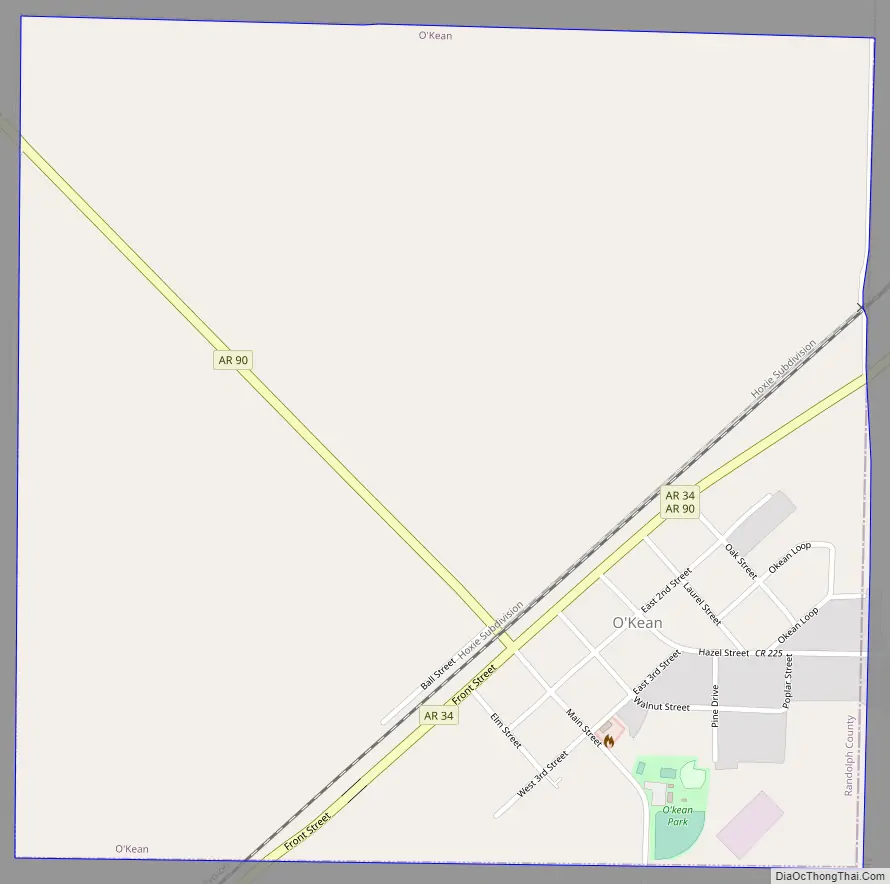
O’Kean Road Map
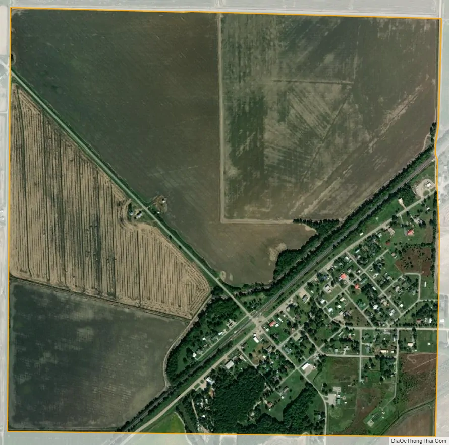
O’Kean city Satellite Map
Geography
O’Kean is bordered by Greene County to the east, and one mile north of Lawrence County. The town is concentrated around the intersection of Arkansas Highway 90 and Arkansas Highway 34, southeast of Pocahontas.
According to the United States Census Bureau, the town has a total area of 2.6 km (1.0 mi), all land.
List Of Highways
- Highway 34
- Highway 90
See also
Map of Arkansas State and its subdivision:- Arkansas
- Ashley
- Baxter
- Benton
- Boone
- Bradley
- Calhoun
- Carroll
- Chicot
- Clark
- Clay
- Cleburne
- Cleveland
- Columbia
- Conway
- Craighead
- Crawford
- Crittenden
- Cross
- Dallas
- Desha
- Drew
- Faulkner
- Franklin
- Fulton
- Garland
- Grant
- Greene
- Hempstead
- Hot Spring
- Howard
- Independence
- Izard
- Jackson
- Jefferson
- Johnson
- Lafayette
- Lawrence
- Lee
- Lincoln
- Little River
- Logan
- Lonoke
- Madison
- Marion
- Miller
- Mississippi
- Monroe
- Montgomery
- Nevada
- Newton
- Ouachita
- Perry
- Phillips
- Pike
- Poinsett
- Polk
- Pope
- Prairie
- Pulaski
- Randolph
- Saint Francis
- Saline
- Scott
- Searcy
- Sebastian
- Sevier
- Sharp
- Stone
- Union
- Van Buren
- Washington
- White
- Woodruff
- Yell
- Alabama
- Alaska
- Arizona
- Arkansas
- California
- Colorado
- Connecticut
- Delaware
- District of Columbia
- Florida
- Georgia
- Hawaii
- Idaho
- Illinois
- Indiana
- Iowa
- Kansas
- Kentucky
- Louisiana
- Maine
- Maryland
- Massachusetts
- Michigan
- Minnesota
- Mississippi
- Missouri
- Montana
- Nebraska
- Nevada
- New Hampshire
- New Jersey
- New Mexico
- New York
- North Carolina
- North Dakota
- Ohio
- Oklahoma
- Oregon
- Pennsylvania
- Rhode Island
- South Carolina
- South Dakota
- Tennessee
- Texas
- Utah
- Vermont
- Virginia
- Washington
- West Virginia
- Wisconsin
- Wyoming