Pocahontas is a city in Randolph County, Arkansas, United States, along the Black River. According to the 2010 Census Bureau, the population of the city was 6,608. The city is the county seat of Randolph County.
Pocahontas has a number of historic buildings, including the Old Randolph County Courthouse built in 1871, the St. Mary’s AME Church, and the Pocahontas Colored School built in 1918, the latter of which is now home to the Eddie Mae Herron Center.
| Name: | Pocahontas city |
|---|---|
| LSAD Code: | 25 |
| LSAD Description: | city (suffix) |
| State: | Arkansas |
| County: | Randolph County |
| Elevation: | 331 ft (101 m) |
| Total Area: | 7.85 sq mi (20.34 km²) |
| Land Area: | 7.64 sq mi (19.78 km²) |
| Water Area: | 0.22 sq mi (0.56 km²) |
| Total Population: | 7,371 |
| Population Density: | 965.30/sq mi (372.72/km²) |
| ZIP code: | 72455 |
| Area code: | 870 |
| FIPS code: | 0556540 |
| GNISfeature ID: | 2404544 |
| Website: | cityofpocahontas.com |
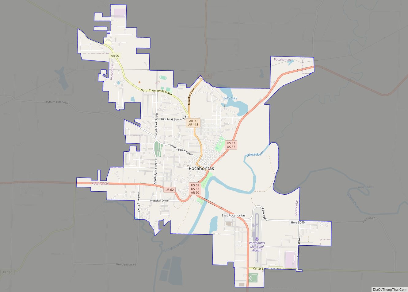
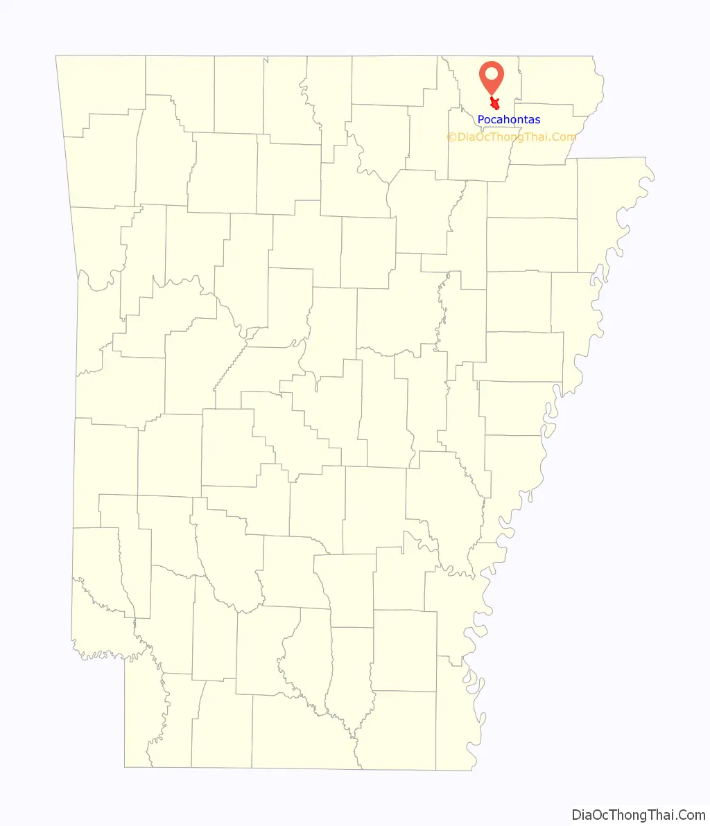
Online Interactive Map
Click on ![]() to view map in "full screen" mode.
to view map in "full screen" mode.
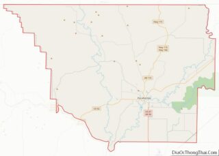
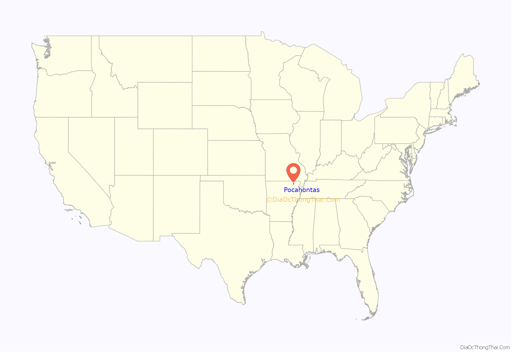
Pocahontas location map. Where is Pocahontas city?
History
This city was named after the Native American from Jamestown, Virginia. A statue of her is located in Overlook Park along the Black River.
The family of Dr. Ransom S. Bettis is given the credit for being the first settlers on the land now called Pocahontas. Dr. Bettis’ daughter, Cinderella, married Thomas S. Drew, and lived on 800 acres where the town of Biggers now exists. Bettis and Drew led the founding of Pocahontas as the county seat of Randolph County.
Randolph County is famous for many “firsts”; Arkansas’ oldest town, Davidsonville, was established in 1815. The first Arkansas post office was built in Davidsonville in 1817, and the first state courthouse was established in 1818. The earliest land claim was in 1809 near what is now Ravenden Springs. The first actual term of court convened in Arkansas was in 1815 in a part of Lawrence County that was given over to Randolph County. And the country’s first overland route, the Natchitoches Trail, went through parts of Randolph County.
In 1835, the Territorial Legislature granted the formation of Randolph County from part of the area then called Lawrence County. The county was named after John Randolph, who was one of the first settlers in the area.
Randolph County encompasses the rolling hills of the Ozarks to the west and rich, flat farmland of the Mississippi Delta to the east. Five rivers flow through the county, providing access to fishing and canoeing. Soybeans, rice, and other grains are the principal crops in the Delta region, while cattle ranching dominates the hill country. The poultry industry is also a vital part of the area economy.
During the early part of the Civil War, Camp Shaver, located in Pocahontas, was the headquarters for Confederate forces west of the Mississippi River.
The industrial base is diversified, with products such as shoes, large truck trailers, technical components for communications, picture frames, golf bags and luggage, tool boxes, wood products and more.
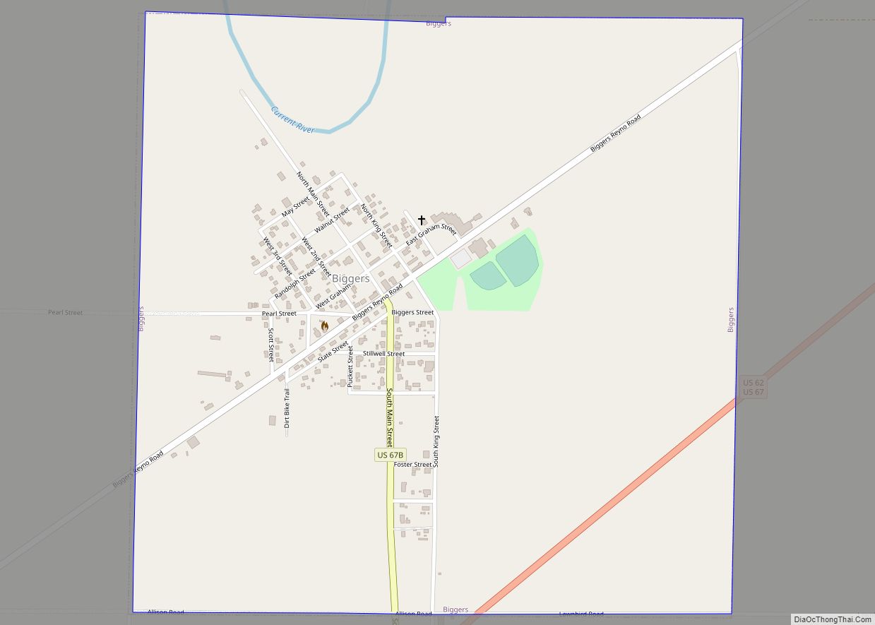
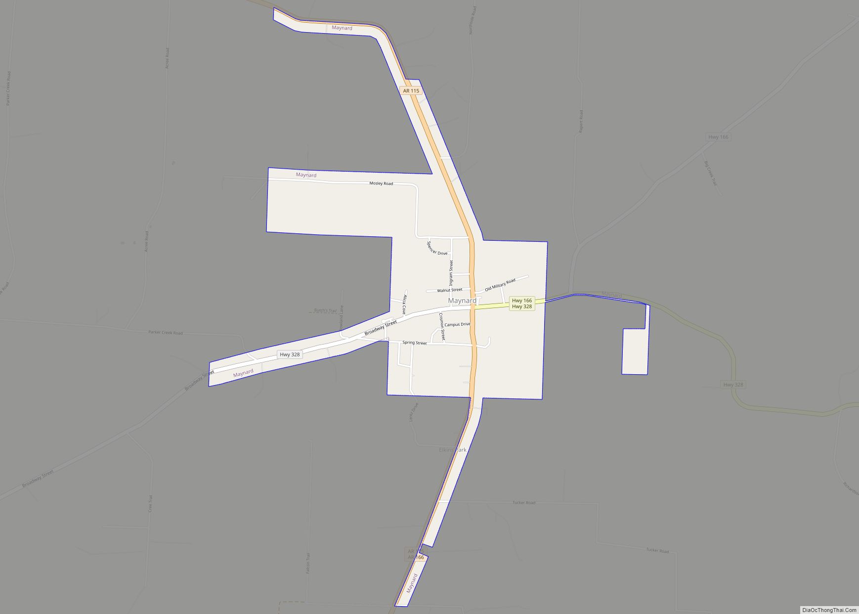
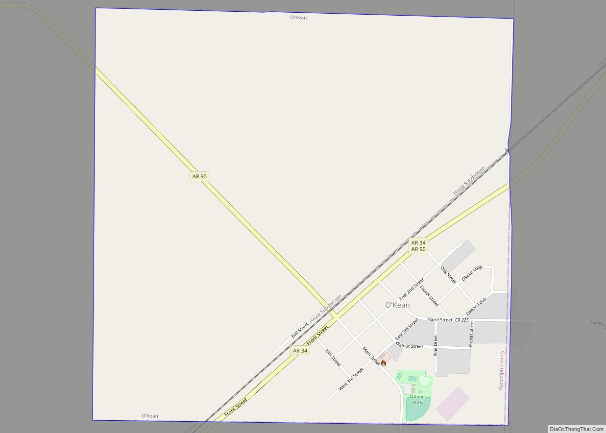
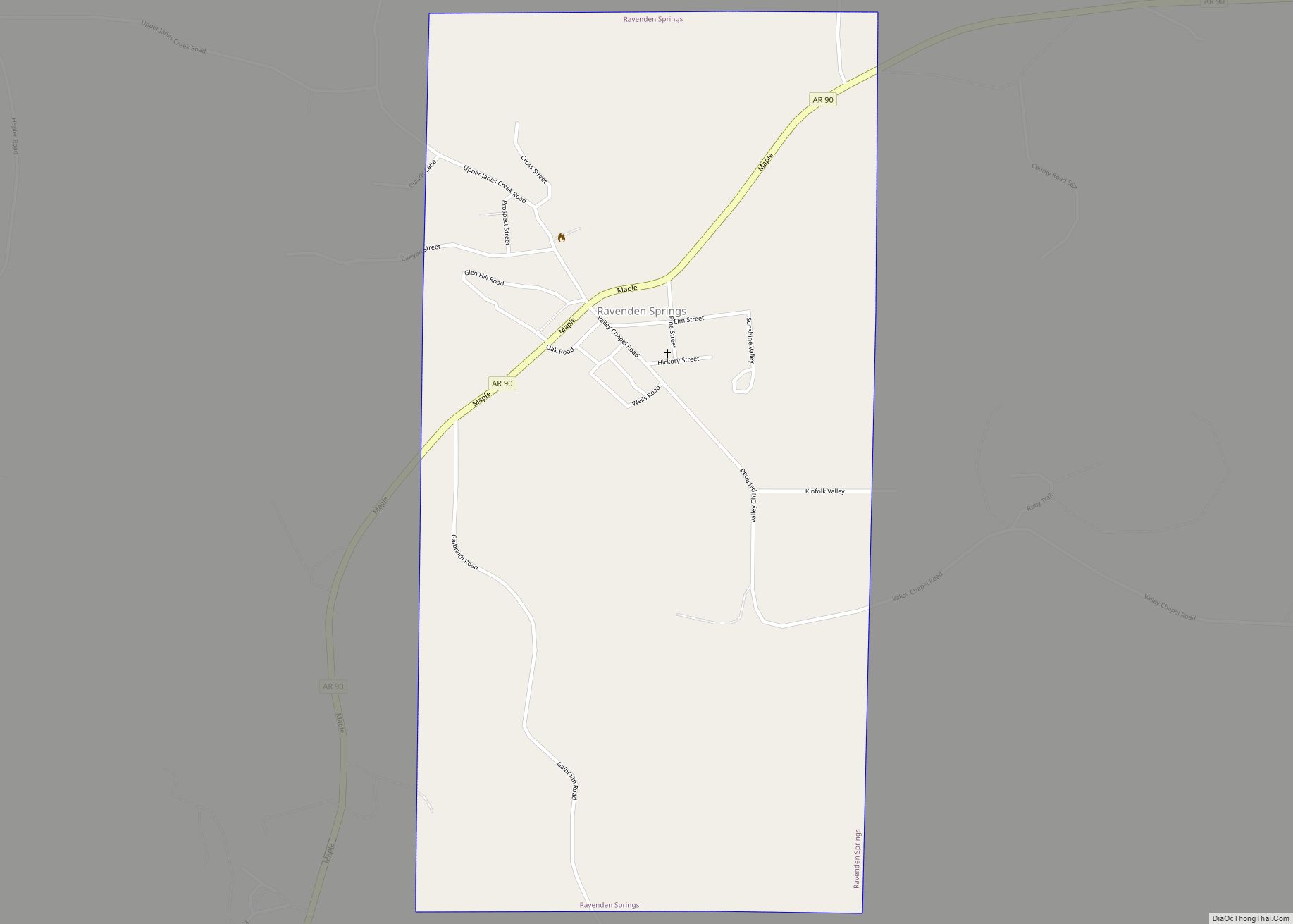
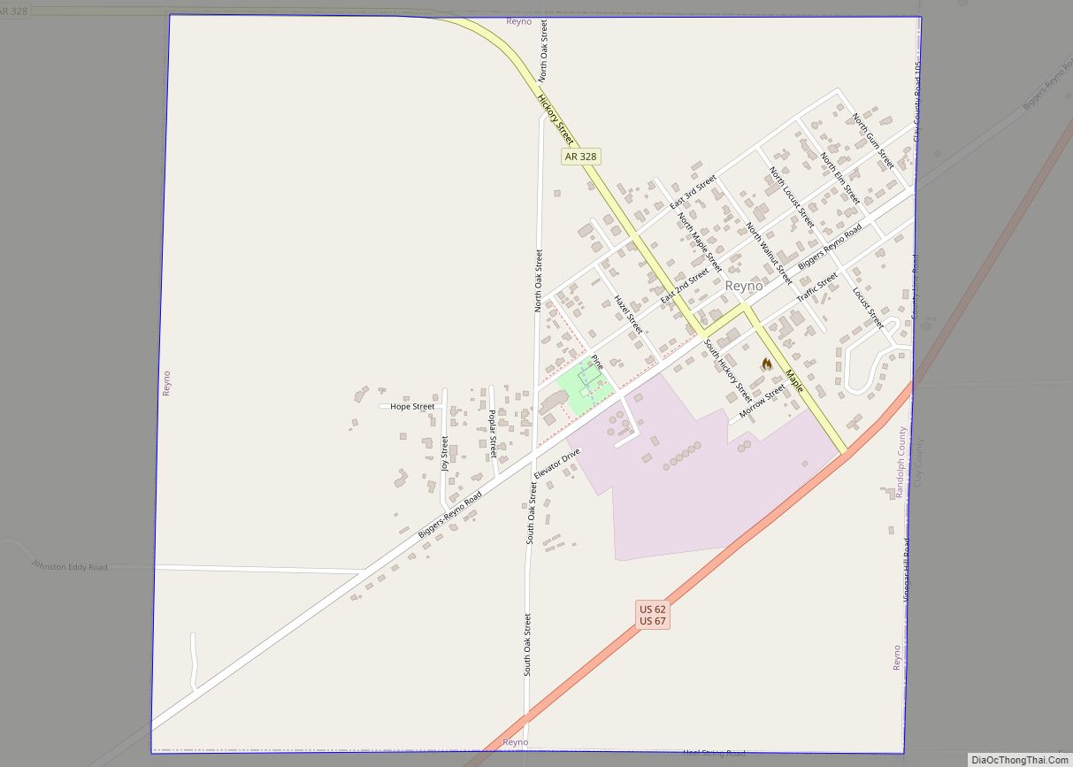
Pocahontas is the county seat with a population of 6,616. The other 10,407 residents of Randolph County live in rural areas and five incorporated communities – Maynard, Biggers, Reyno, Ravenden Springs and O’Kean.
Local legend holds that Pocahontas was named the county seat through an act of trickery. Supposedly, at the county meeting to determine which city would receive the title, the delegation from Pocahontas brought in large quantities of alcohol and distributed them to the other delegations. When the time came to vote, the only delegation not passed out or otherwise influenced was that from Pocahontas.
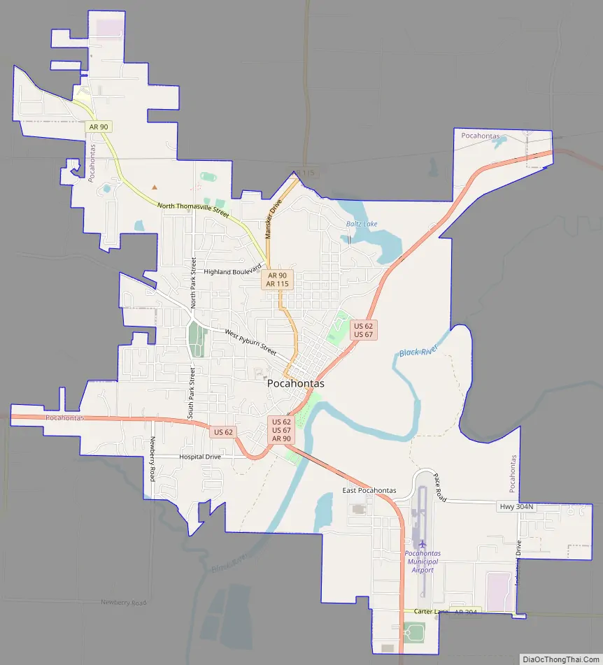
Pocahontas Road Map
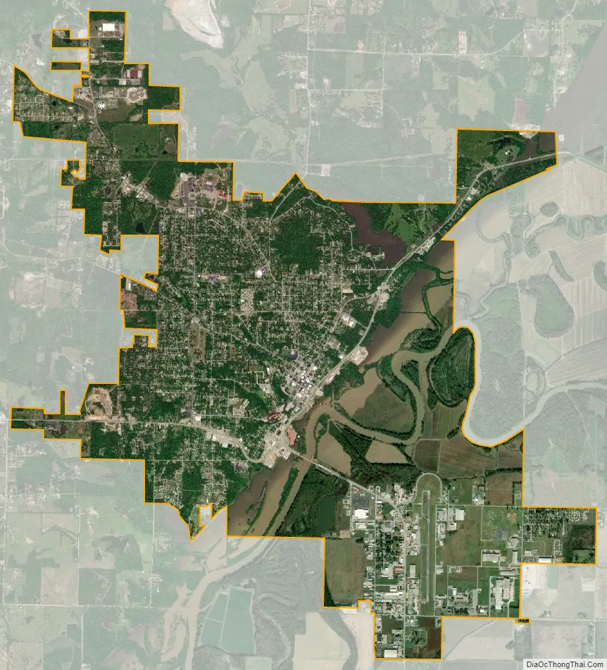
Pocahontas city Satellite Map
Geography
According to the United States Census Bureau, the city has a total area of 7.6 sq mi (20 km), of which 7.3 sq mi (19 km) is land and 0.2 square miles (0.52 km) (2.78%) is water.
See also
Map of Arkansas State and its subdivision:- Arkansas
- Ashley
- Baxter
- Benton
- Boone
- Bradley
- Calhoun
- Carroll
- Chicot
- Clark
- Clay
- Cleburne
- Cleveland
- Columbia
- Conway
- Craighead
- Crawford
- Crittenden
- Cross
- Dallas
- Desha
- Drew
- Faulkner
- Franklin
- Fulton
- Garland
- Grant
- Greene
- Hempstead
- Hot Spring
- Howard
- Independence
- Izard
- Jackson
- Jefferson
- Johnson
- Lafayette
- Lawrence
- Lee
- Lincoln
- Little River
- Logan
- Lonoke
- Madison
- Marion
- Miller
- Mississippi
- Monroe
- Montgomery
- Nevada
- Newton
- Ouachita
- Perry
- Phillips
- Pike
- Poinsett
- Polk
- Pope
- Prairie
- Pulaski
- Randolph
- Saint Francis
- Saline
- Scott
- Searcy
- Sebastian
- Sevier
- Sharp
- Stone
- Union
- Van Buren
- Washington
- White
- Woodruff
- Yell
- Alabama
- Alaska
- Arizona
- Arkansas
- California
- Colorado
- Connecticut
- Delaware
- District of Columbia
- Florida
- Georgia
- Hawaii
- Idaho
- Illinois
- Indiana
- Iowa
- Kansas
- Kentucky
- Louisiana
- Maine
- Maryland
- Massachusetts
- Michigan
- Minnesota
- Mississippi
- Missouri
- Montana
- Nebraska
- Nevada
- New Hampshire
- New Jersey
- New Mexico
- New York
- North Carolina
- North Dakota
- Ohio
- Oklahoma
- Oregon
- Pennsylvania
- Rhode Island
- South Carolina
- South Dakota
- Tennessee
- Texas
- Utah
- Vermont
- Virginia
- Washington
- West Virginia
- Wisconsin
- Wyoming