Highland (and neighboring “East Highlands”) is a city in San Bernardino County, California, United States. The city’s population was 53,104 as of the 2010 census, up from 44,605 in 2000. Highland also refers to a physical section of San Bernardino (usually east of Del Rosa Avenue to the city boundaries) as well as areas of unincorporated San Bernardino County. Highland is generally divided into two regions, East Highlands and Highland (Generally considered west of State Route 210, with the majority of inhabitants living east of the freeway.)
| Name: | Highland city |
|---|---|
| LSAD Code: | 25 |
| LSAD Description: | city (suffix) |
| State: | California |
| County: | San Bernardino County |
| Incorporated: | November 24, 1987 |
| Elevation: | 1,309 ft (399 m) |
| Total Area: | 18.67 sq mi (48.34 km²) |
| Land Area: | 18.57 sq mi (48.10 km²) |
| Water Area: | 0.09 sq mi (0.24 km²) 0.71% |
| Total Population: | 53,104 |
| Population Density: | 2,984.06/sq mi (1,152.12/km²) |
| ZIP code: | 92346 |
| Area code: | 909 |
| FIPS code: | 0633588 |
| Website: | www.cityofhighland.org |
Online Interactive Map
Click on ![]() to view map in "full screen" mode.
to view map in "full screen" mode.
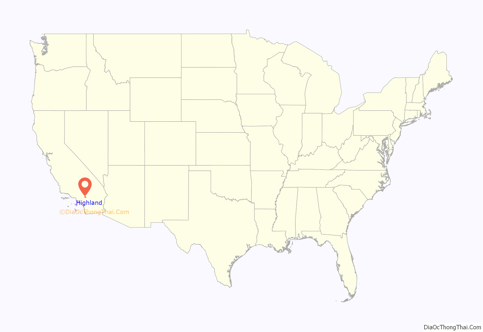
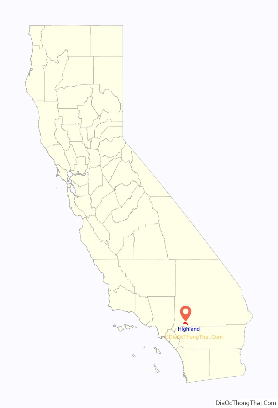
Highland location map. Where is Highland city?
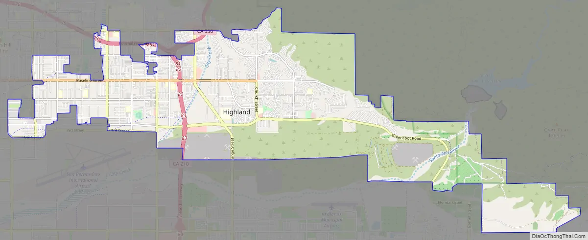
Highland Road Map
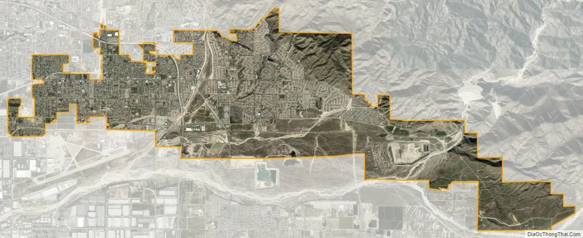
Highland city Satellite Map
Geography
Highland is located at 34°7′6″N 117°12′9″W / 34.11833°N 117.20250°W / 34.11833; -117.20250 (34.118459, -117.202370).
According to the United States Census Bureau, the city has a total area of 18.9 square miles (48.9 km). 18.8 square miles (48.6 km) of it is land and 0.1 square miles (0.3 km) of it (0.71%) is water.
See also
Map of California State and its subdivision:- Alameda
- Alpine
- Amador
- Butte
- Calaveras
- Colusa
- Contra Costa
- Del Norte
- El Dorado
- Fresno
- Glenn
- Humboldt
- Imperial
- Inyo
- Kern
- Kings
- Lake
- Lassen
- Los Angeles
- Madera
- Marin
- Mariposa
- Mendocino
- Merced
- Modoc
- Mono
- Monterey
- Napa
- Nevada
- Orange
- Placer
- Plumas
- Riverside
- Sacramento
- San Benito
- San Bernardino
- San Diego
- San Francisco
- San Joaquin
- San Luis Obispo
- San Mateo
- Santa Barbara
- Santa Clara
- Santa Cruz
- Shasta
- Sierra
- Siskiyou
- Solano
- Sonoma
- Stanislaus
- Sutter
- Tehama
- Trinity
- Tulare
- Tuolumne
- Ventura
- Yolo
- Yuba
- Alabama
- Alaska
- Arizona
- Arkansas
- California
- Colorado
- Connecticut
- Delaware
- District of Columbia
- Florida
- Georgia
- Hawaii
- Idaho
- Illinois
- Indiana
- Iowa
- Kansas
- Kentucky
- Louisiana
- Maine
- Maryland
- Massachusetts
- Michigan
- Minnesota
- Mississippi
- Missouri
- Montana
- Nebraska
- Nevada
- New Hampshire
- New Jersey
- New Mexico
- New York
- North Carolina
- North Dakota
- Ohio
- Oklahoma
- Oregon
- Pennsylvania
- Rhode Island
- South Carolina
- South Dakota
- Tennessee
- Texas
- Utah
- Vermont
- Virginia
- Washington
- West Virginia
- Wisconsin
- Wyoming


