Sunol (Spanish: Suñol) is an unincorporated area and census-designated place in Alameda County, California. Located in the Sunol Valley of the East Bay, the population was 913 at the 2010 census. It is best known as the location of the Sunol Water Temple and for its historic tourist railroad system, the Niles Canyon Railway.
| Name: | Sunol CDP |
|---|---|
| LSAD Code: | 57 |
| LSAD Description: | CDP (suffix) |
| State: | California |
| County: | Alameda County |
| Elevation: | 266 ft (81 m) |
| Total Area: | 27.764 sq mi (71.91 km²) |
| Land Area: | 27.751 sq mi (71.87 km²) |
| Water Area: | 0.013 sq mi (0.03 km²) 0.05% |
| Total Population: | 913 |
| Population Density: | 33/sq mi (13/km²) |
| ZIP code: | 94586 |
| Area code: | 925, 510, 341 |
| FIPS code: | 0677042 |
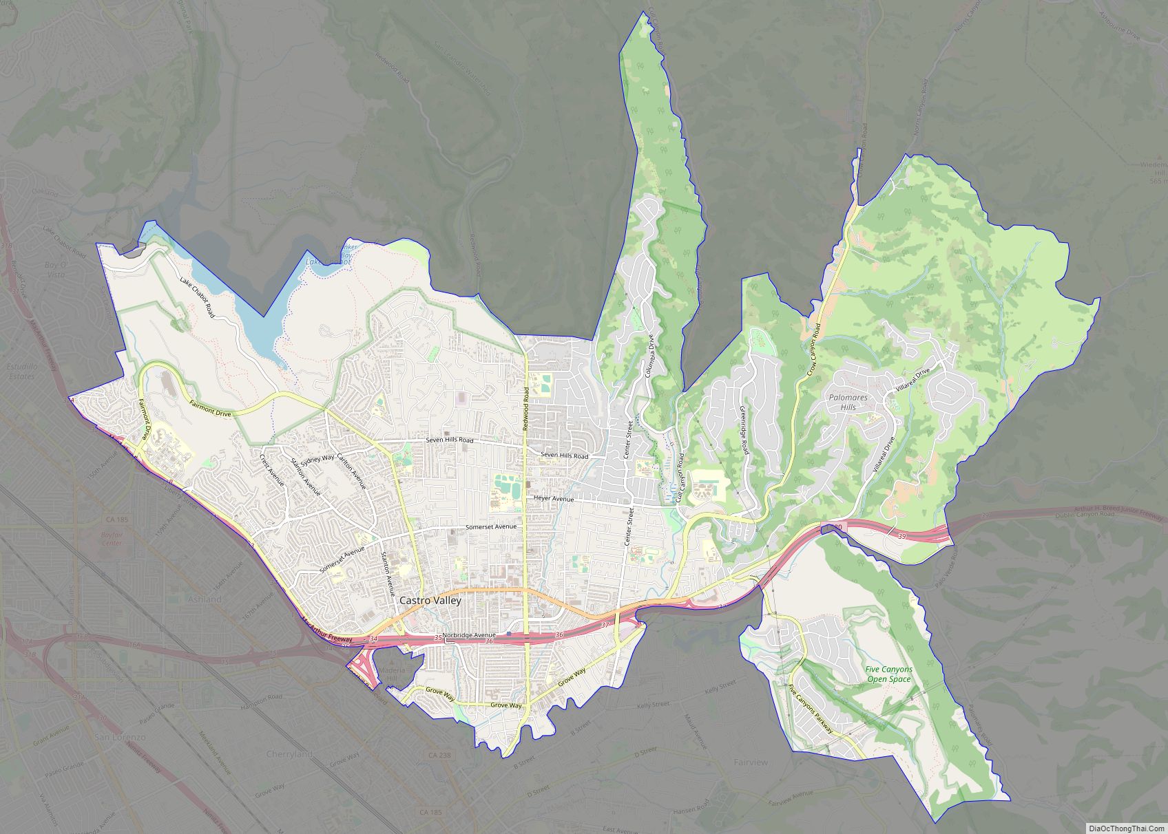
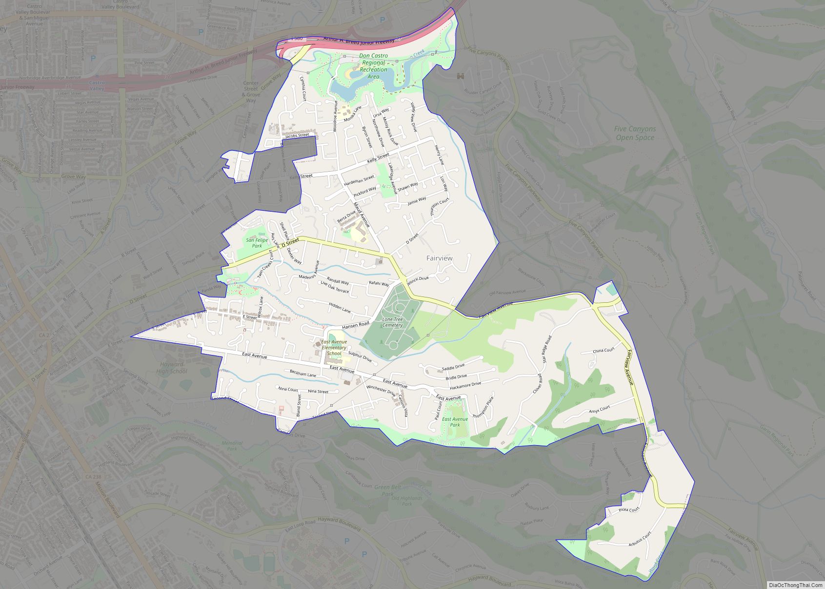
Online Interactive Map
Click on ![]() to view map in "full screen" mode.
to view map in "full screen" mode.
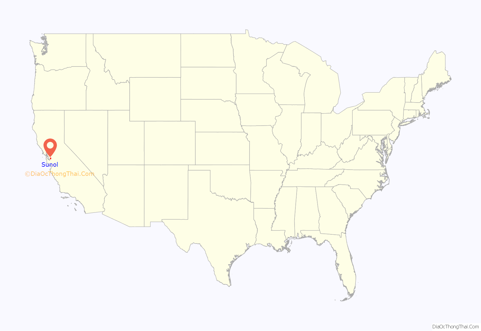
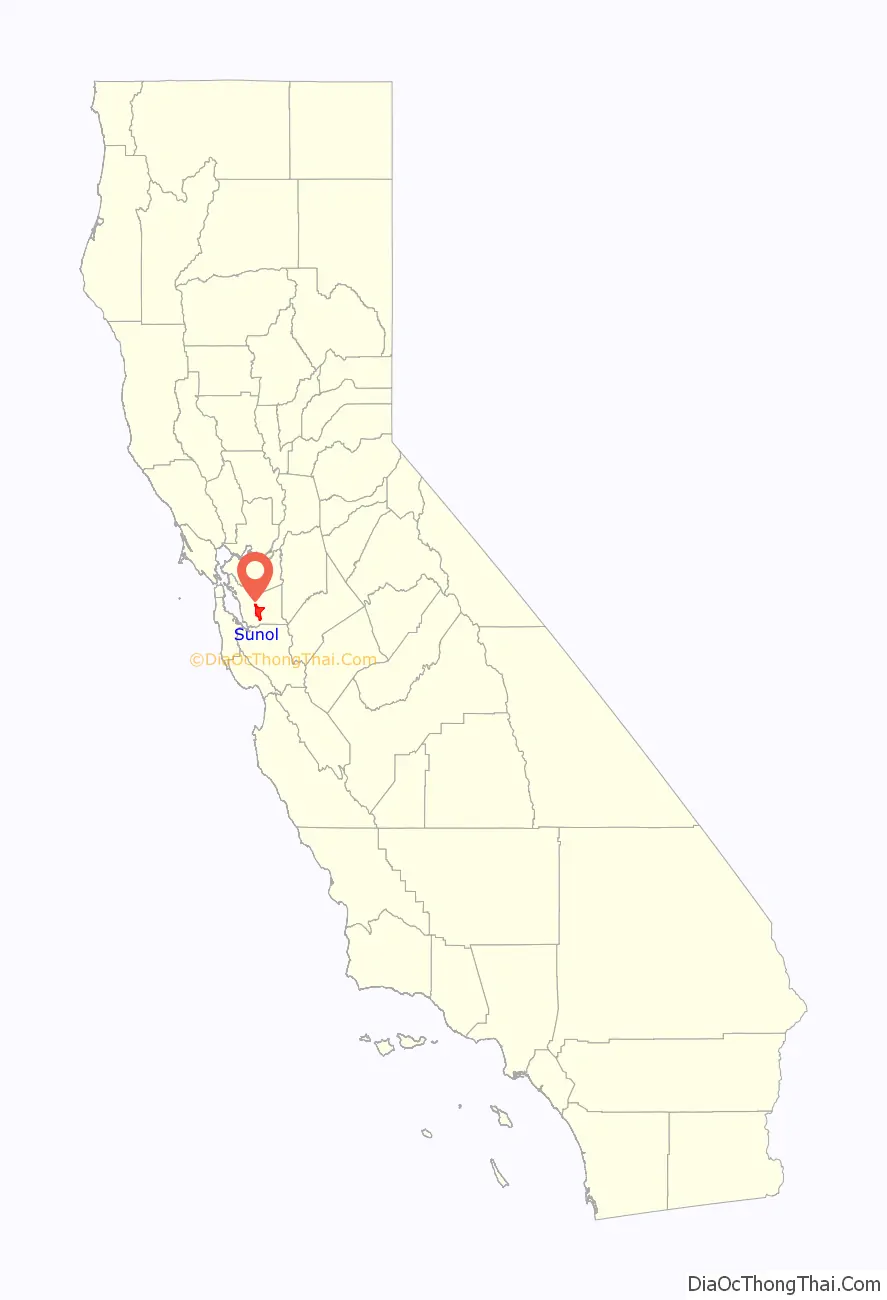
Sunol location map. Where is Sunol CDP?
History
The first Sunol post office opened in 1871 and the name was changed to Sunolglen the same year. The name reverted to Sunol in 1920. The town’s name is in honor of Antonio Suñol, first postmaster in nearby San Jose and part owner of the historical Rancho Valle de San Jose land grant that once contained the site of the town.
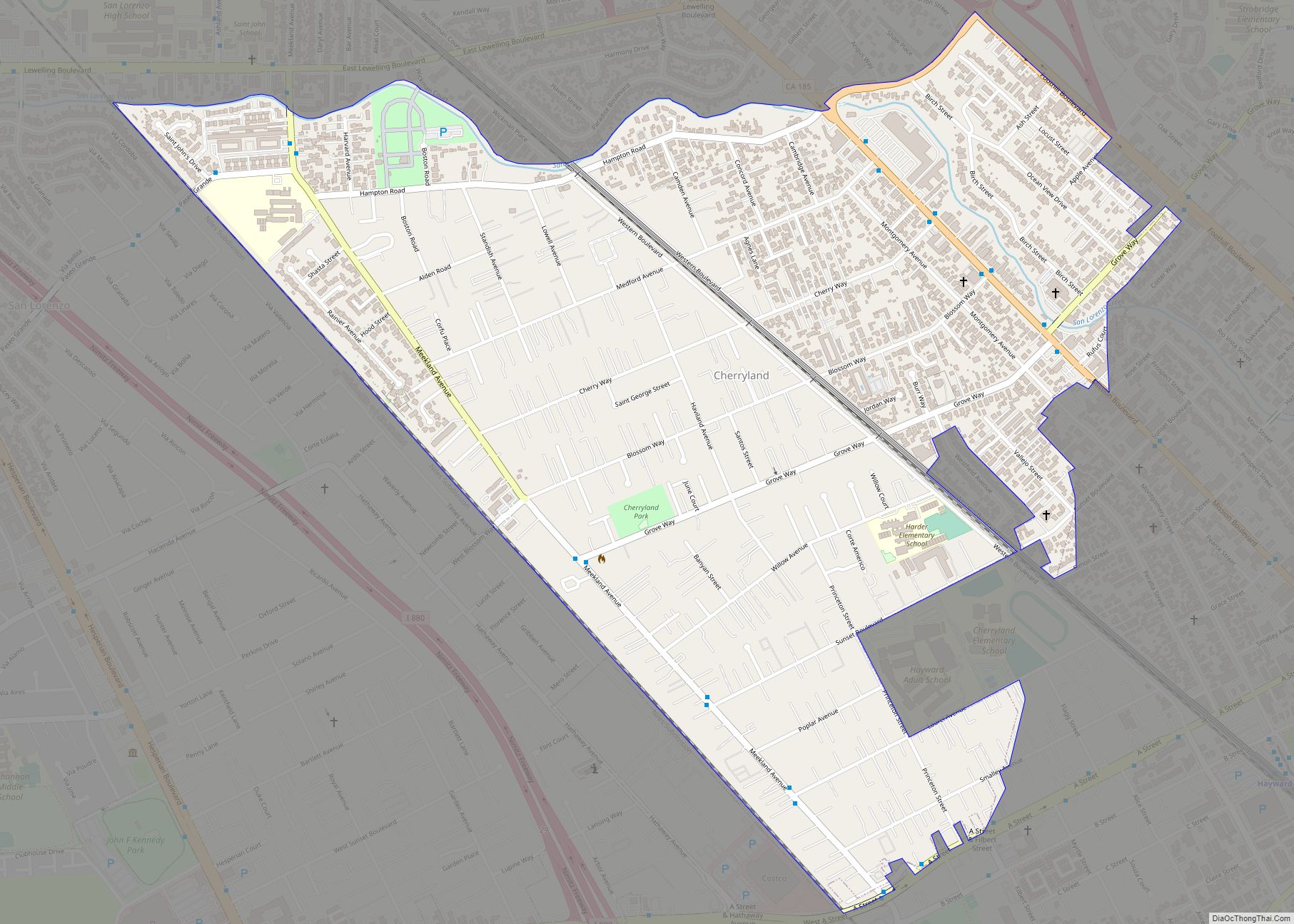
Sunol Road Map
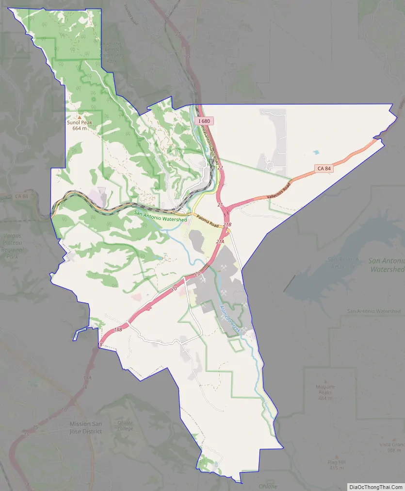
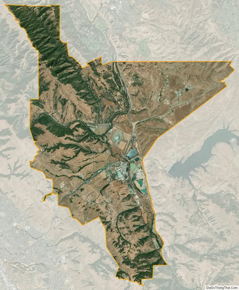
Sunol city Satellite Map
Geography
Sunol is located adjacent to two railroads and lies near the crossroads of Interstate 680 and State Route 84. These connect Sunol with Fremont to the south and west, Pleasanton to the north, and Livermore to the northeast. Sunol sits 17 miles (27 km) north of the center of San Jose and 32 miles (51 km) southeast of San Francisco.
The town lies near Alameda Creek at the northwest edge of the Sunol Valley. The San Antonio Reservoir lies 3 miles (4.8 km) to Sunol’s east, and the Calaveras Reservoir lies 8 miles (13 km) south of the town.
North of the town is Kilkare Woods, accessible only through Sunol.
According to the United States Census Bureau, the Sunol CDP has a total area of 27.8 square miles (72 km), of which 99.95% is land and 0.05% is water.
See also
Map of California State and its subdivision:- Alameda
- Alpine
- Amador
- Butte
- Calaveras
- Colusa
- Contra Costa
- Del Norte
- El Dorado
- Fresno
- Glenn
- Humboldt
- Imperial
- Inyo
- Kern
- Kings
- Lake
- Lassen
- Los Angeles
- Madera
- Marin
- Mariposa
- Mendocino
- Merced
- Modoc
- Mono
- Monterey
- Napa
- Nevada
- Orange
- Placer
- Plumas
- Riverside
- Sacramento
- San Benito
- San Bernardino
- San Diego
- San Francisco
- San Joaquin
- San Luis Obispo
- San Mateo
- Santa Barbara
- Santa Clara
- Santa Cruz
- Shasta
- Sierra
- Siskiyou
- Solano
- Sonoma
- Stanislaus
- Sutter
- Tehama
- Trinity
- Tulare
- Tuolumne
- Ventura
- Yolo
- Yuba
- Alabama
- Alaska
- Arizona
- Arkansas
- California
- Colorado
- Connecticut
- Delaware
- District of Columbia
- Florida
- Georgia
- Hawaii
- Idaho
- Illinois
- Indiana
- Iowa
- Kansas
- Kentucky
- Louisiana
- Maine
- Maryland
- Massachusetts
- Michigan
- Minnesota
- Mississippi
- Missouri
- Montana
- Nebraska
- Nevada
- New Hampshire
- New Jersey
- New Mexico
- New York
- North Carolina
- North Dakota
- Ohio
- Oklahoma
- Oregon
- Pennsylvania
- Rhode Island
- South Carolina
- South Dakota
- Tennessee
- Texas
- Utah
- Vermont
- Virginia
- Washington
- West Virginia
- Wisconsin
- Wyoming