Ashland is a village in the northernmost portion of Natchitoches Parish, Louisiana, United States. A few residences and a convenience store to the north spill over into neighboring Bienville Parish. The population was 291 at the 2000 census but declined 9 percent to 269 in 2010. The median age was 45.7 years. Ashland is part of the Natchitoches Micropolitan Statistical Area but is located nearly forty miles to the north of the parish seat of Natchitoches.
The Ashland mayor is Donna Holland Horn. The village council consists of two No Party members, Juanita Calhoun and Dorie Harp, and a Republican, Terry Chesser. The police chief is Fred Holland, a Democrat. All of the Ashland town officials were unopposed for new terms in the primary election held on October 2, 2010.
| Name: | Ashland village |
|---|---|
| LSAD Code: | 47 |
| LSAD Description: | village (suffix) |
| State: | Louisiana |
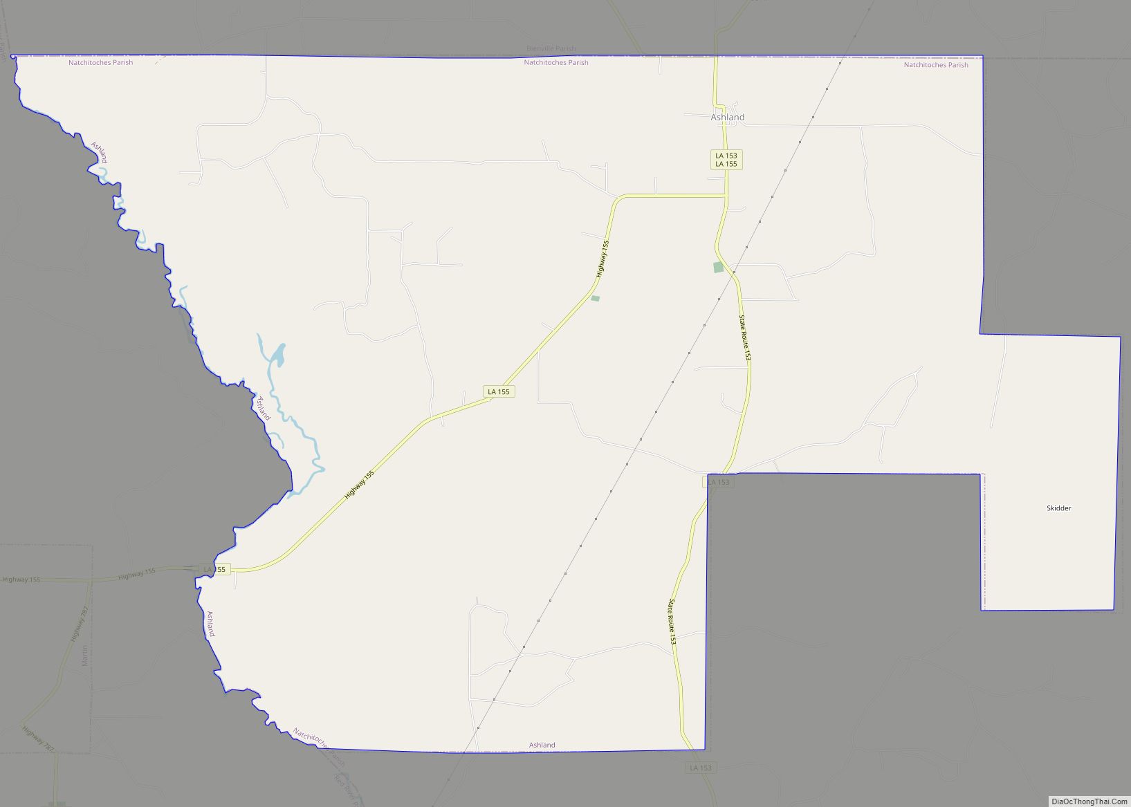
| County: | Natchitoches Parish |
| Incorporated: | 1963 |
| Elevation: | 226 ft (69 m) |
| Total Area: | 27.15 sq mi (70.31 km²) |
| Land Area: | 26.99 sq mi (69.90 km²) |
| Water Area: | 0.16 sq mi (0.42 km²) |
| Total Population: | 194 |
| Population Density: | 7.19/sq mi (2.78/km²) |
| Area code: | 318 |
| FIPS code: | 2203145 |
| GNISfeature ID: | 2407410 |
Online Interactive Map
Click on ![]() to view map in "full screen" mode.
to view map in "full screen" mode.
Ashland location map. Where is Ashland village?


Ashland Road Map

Ashland city Satellite Map

Geography
According to the United States Census Bureau, the village has a total area of 27.1 square miles (70 km), of which 27.1 square miles (70 km) is land and 0.04 square miles (0.10 km) (0.07%) is water.
Climate
Climate is characterized by relatively high temperatures and evenly distributed precipitation throughout the year. According to the Köppen Climate Classification system, Ashland has a humid subtropical climate, abbreviated “Cfa” on climate maps.
See also
Map of Louisiana State and its subdivision:- Acadia
- Allen
- Ascension
- Assumption
- Avoyelles
- Beauregard
- Bienville
- Bossier
- Caddo
- Calcasieu
- Caldwell
- Cameron
- Catahoula
- Claiborne
- Concordia
- De Soto
- East Baton Rouge
- East Carroll
- East Feliciana
- Evangeline
- Franklin
- Grant
- Iberia
- Iberville
- Jackson
- Jefferson
- Jefferson Davis
- La Salle
- Lafayette
- Lafourche
- Lincoln
- Livingston
- Madison
- Morehouse
- Natchitoches
- Orleans
- Ouachita
- Plaquemines
- Pointe Coupee
- Rapides
- Red River
- Richland
- Sabine
- Saint Bernard
- Saint Charles
- Saint Helena
- Saint James
- Saint John the Baptist
- Saint Landry
- Saint Martin
- Saint Mary
- Saint Tammany
- Tangipahoa
- Tensas
- Terrebonne
- Union
- Vermilion
- Vernon
- Washington
- Webster
- West Baton Rouge
- West Carroll
- West Feliciana
- Winn
- Alabama
- Alaska
- Arizona
- Arkansas
- California
- Colorado
- Connecticut
- Delaware
- District of Columbia
- Florida
- Georgia
- Hawaii
- Idaho
- Illinois
- Indiana
- Iowa
- Kansas
- Kentucky
- Louisiana
- Maine
- Maryland
- Massachusetts
- Michigan
- Minnesota
- Mississippi
- Missouri
- Montana
- Nebraska
- Nevada
- New Hampshire
- New Jersey
- New Mexico
- New York
- North Carolina
- North Dakota
- Ohio
- Oklahoma
- Oregon
- Pennsylvania
- Rhode Island
- South Carolina
- South Dakota
- Tennessee
- Texas
- Utah
- Vermont
- Virginia
- Washington
- West Virginia
- Wisconsin
- Wyoming