Atlanta is a village in Winn Parish, Louisiana, United States. The population was 163 at the 2010 census, and had been 150 in 2000.
| Name: | Atlanta village |
|---|---|
| LSAD Code: | 47 |
| LSAD Description: | village (suffix) |
| State: | Louisiana |
| County: | Winn Parish |
| Incorporated: | 1907 |
| Elevation: | 230 ft (70 m) |
| Total Area: | 1.08 sq mi (2.80 km²) |
| Land Area: | 1.08 sq mi (2.80 km²) |
| Water Area: | 0.00 sq mi (0.00 km²) |
| Total Population: | 149 |
| Population Density: | 137.71/sq mi (53.16/km²) |
| Area code: | 318 |
| FIPS code: | 2203390 |
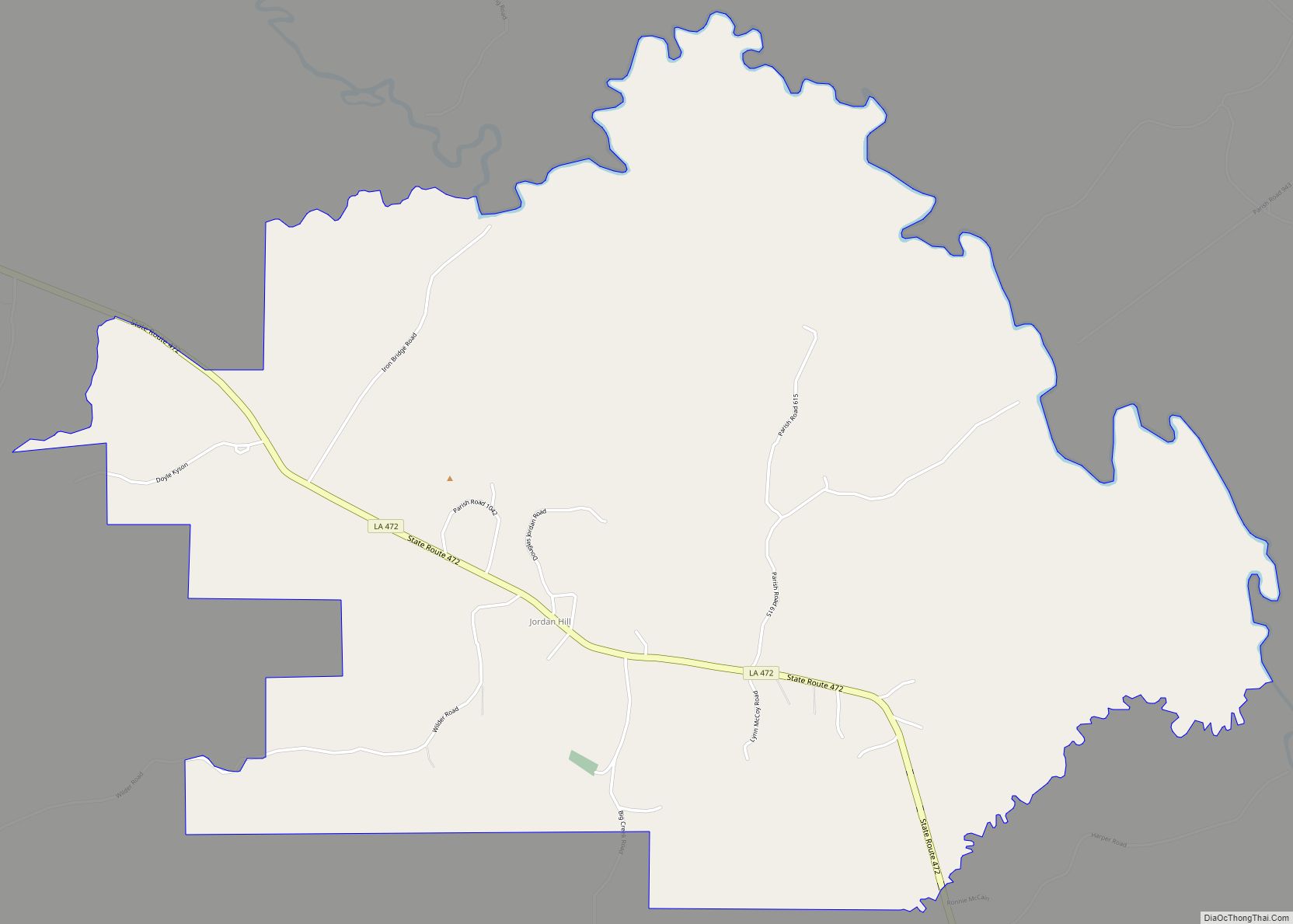
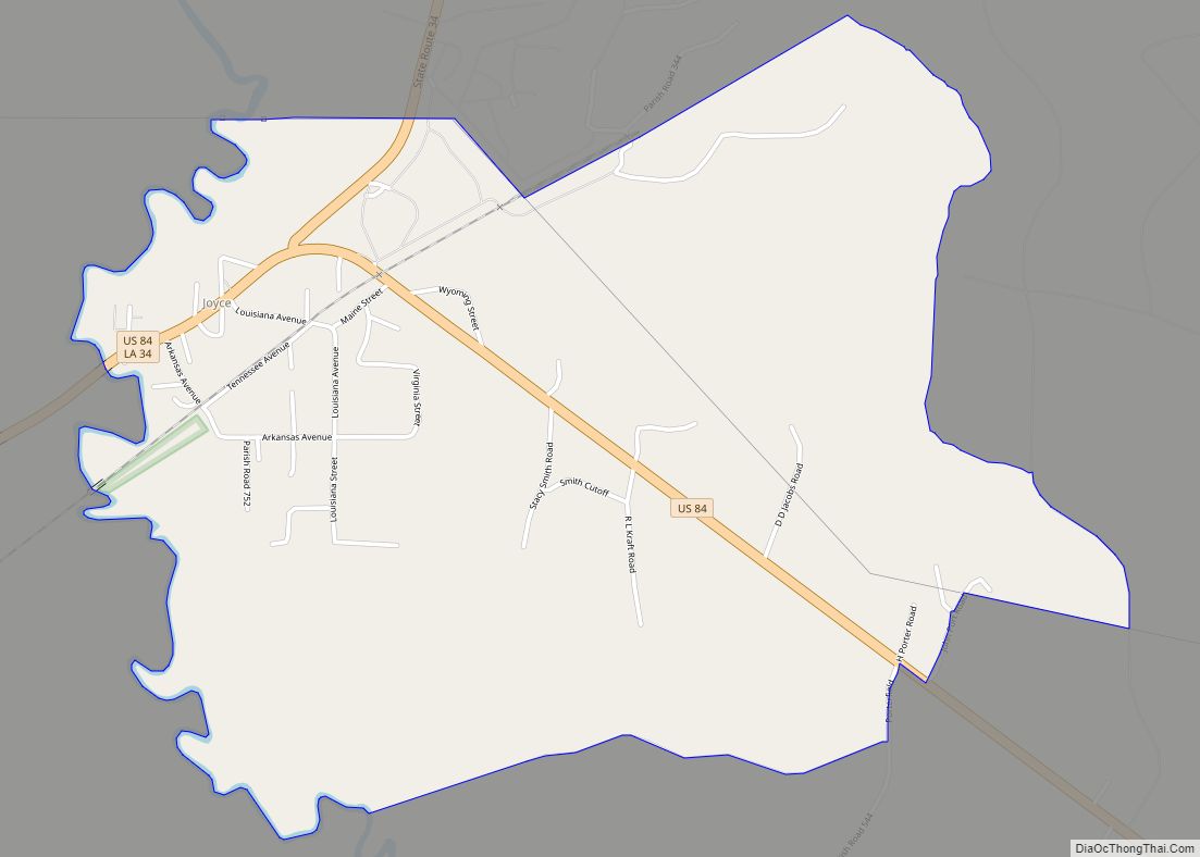
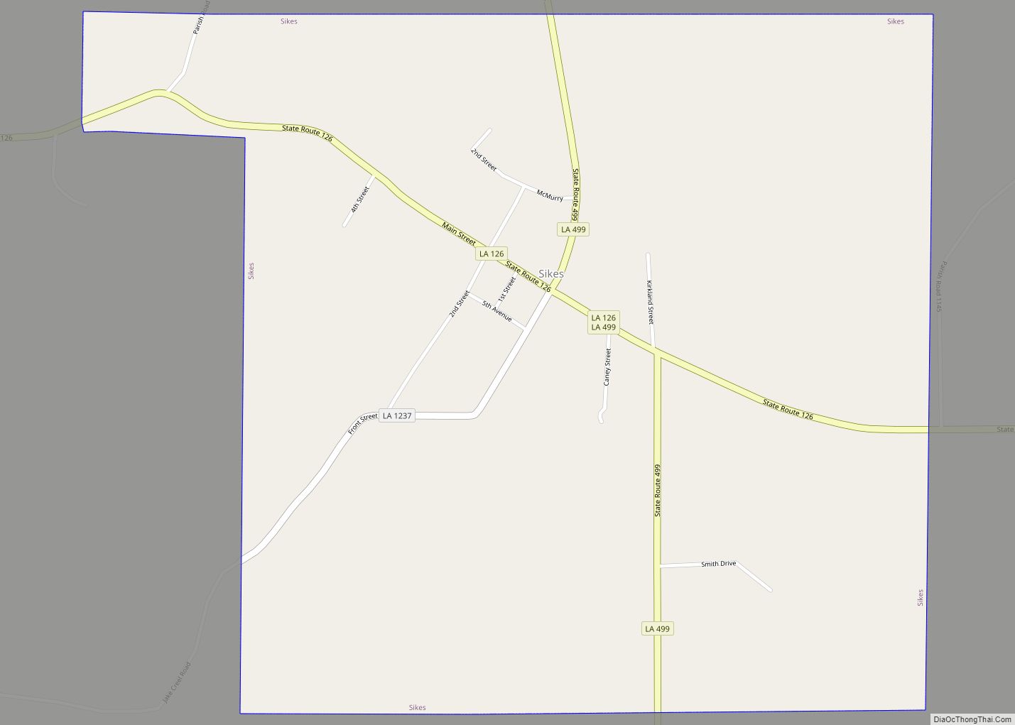
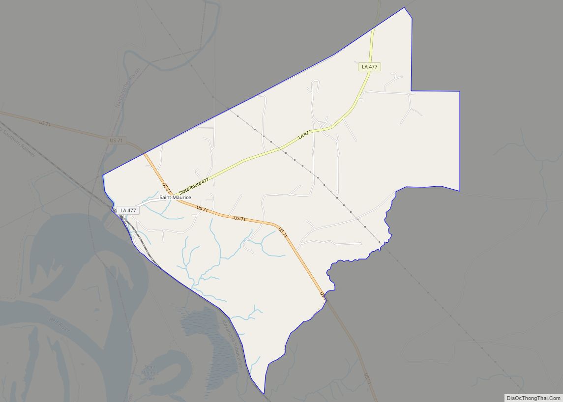
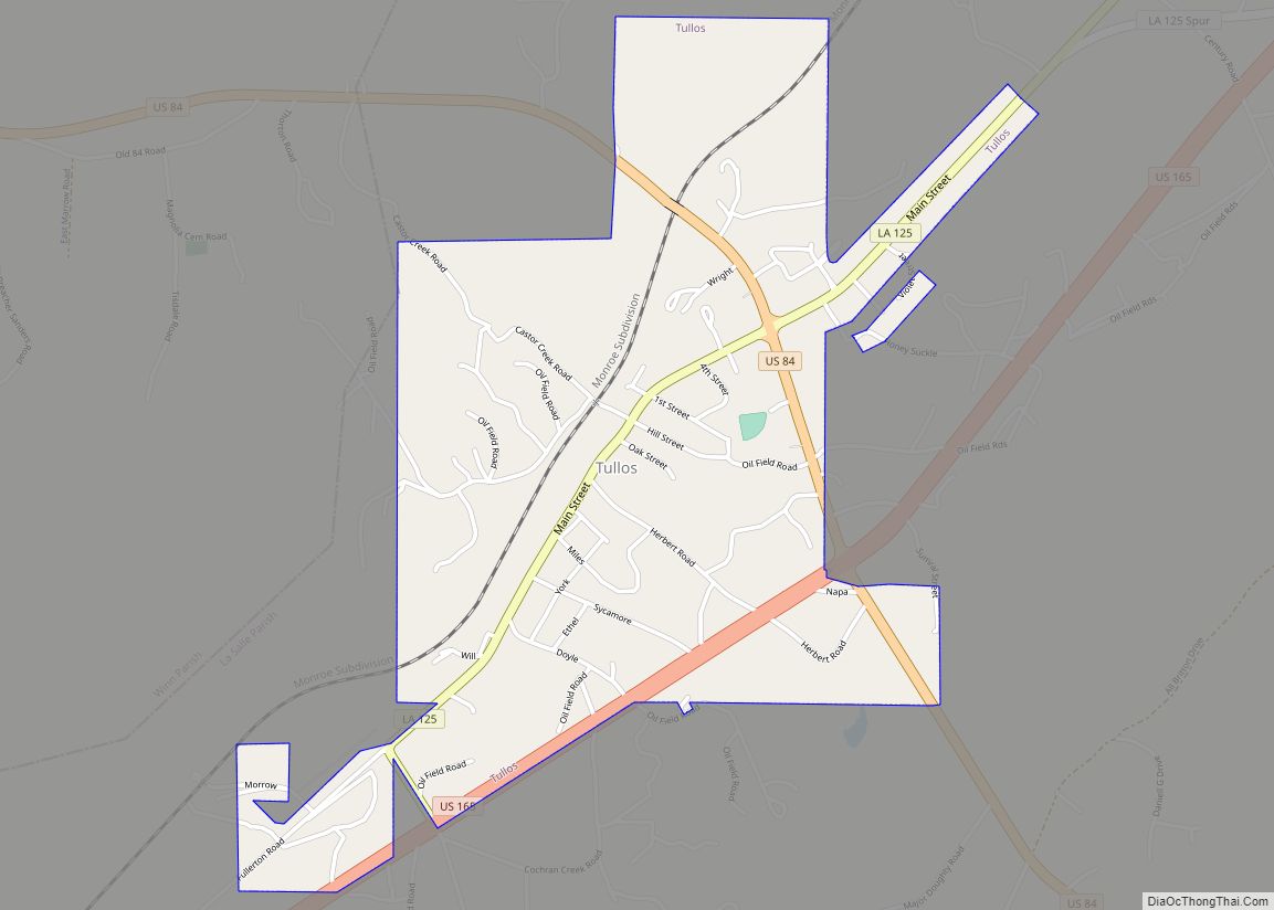
Online Interactive Map
Click on ![]() to view map in "full screen" mode.
to view map in "full screen" mode.
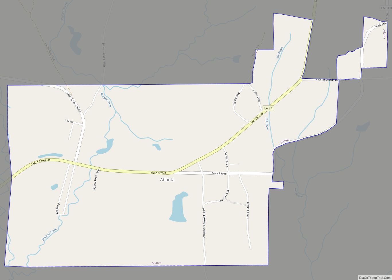
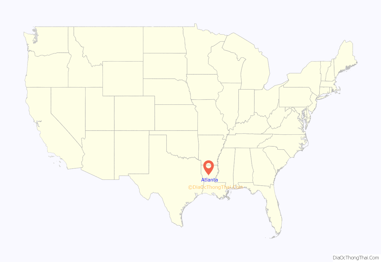
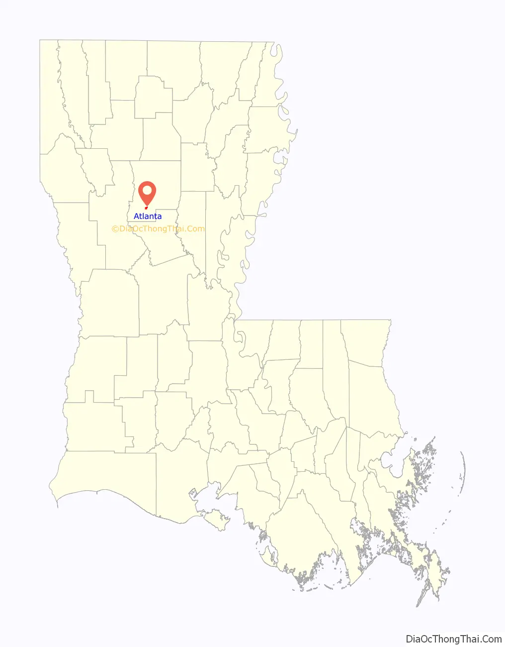
Atlanta location map. Where is Atlanta village?
History
The first settlement at Atlanta was made in the 1850s by pioneers from Georgia.
Atlanta was hit by two tornadoes exactly a year apart on December 8, 1916 and 1917. The first destroyed 35 homes and many smaller buildings. Two people were killed, and fifteen were injured. The second tornado was less destructive, destroying several churches, homes, and businesses. A child was killed, and two other people were injured. Both tornadoes were estimated at F2 intensity on the Fujita scale.
In 1938, a 5.5 kilograms (12 lb) stone fragment of a meteorite was found near Atlanta. It was sent to renowned American meteorite tracker Harvey H. Nininger. The discovery makes only three found in Louisiana.
On November 29, 2010, Atlanta was hit by an EF4 tornado. The tornado completely destroyed a large home and caused severe damage to several other homes. This was the second EF4 tornado to strike Louisiana in 2010. The Atlanta tornado was the 13th EF4 tornado of the year in the United States, the most since 1999.
Atlanta Road Map

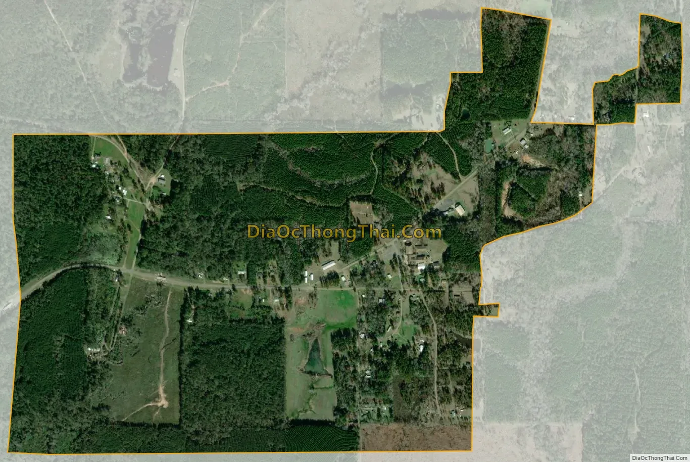
Atlanta city Satellite Map
Geography
Atlanta is located at 31°48′31″N 92°44′12″W / 31.80861°N 92.73667°W / 31.80861; -92.73667 (31.808591, -92.736653).
According to the United States Census Bureau, the village has a total area of 1.1 square miles (2.8 km), all land.
See also
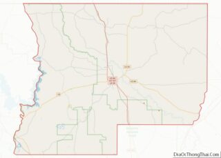
Map of Louisiana State and its subdivision:- Acadia
- Allen
- Ascension
- Assumption
- Avoyelles
- Beauregard
- Bienville
- Bossier
- Caddo
- Calcasieu
- Caldwell
- Cameron
- Catahoula
- Claiborne
- Concordia
- De Soto
- East Baton Rouge
- East Carroll
- East Feliciana
- Evangeline
- Franklin
- Grant
- Iberia
- Iberville
- Jackson
- Jefferson
- Jefferson Davis
- La Salle
- Lafayette
- Lafourche
- Lincoln
- Livingston
- Madison
- Morehouse
- Natchitoches
- Orleans
- Ouachita
- Plaquemines
- Pointe Coupee
- Rapides
- Red River
- Richland
- Sabine
- Saint Bernard
- Saint Charles
- Saint Helena
- Saint James
- Saint John the Baptist
- Saint Landry
- Saint Martin
- Saint Mary
- Saint Tammany
- Tangipahoa
- Tensas
- Terrebonne
- Union
- Vermilion
- Vernon
- Washington
- Webster
- West Baton Rouge
- West Carroll
- West Feliciana
- Winn
- Alabama
- Alaska
- Arizona
- Arkansas
- California
- Colorado
- Connecticut
- Delaware
- District of Columbia
- Florida
- Georgia
- Hawaii
- Idaho
- Illinois
- Indiana
- Iowa
- Kansas
- Kentucky
- Louisiana
- Maine
- Maryland
- Massachusetts
- Michigan
- Minnesota
- Mississippi
- Missouri
- Montana
- Nebraska
- Nevada
- New Hampshire
- New Jersey
- New Mexico
- New York
- North Carolina
- North Dakota
- Ohio
- Oklahoma
- Oregon
- Pennsylvania
- Rhode Island
- South Carolina
- South Dakota
- Tennessee
- Texas
- Utah
- Vermont
- Virginia
- Washington
- West Virginia
- Wisconsin
- Wyoming