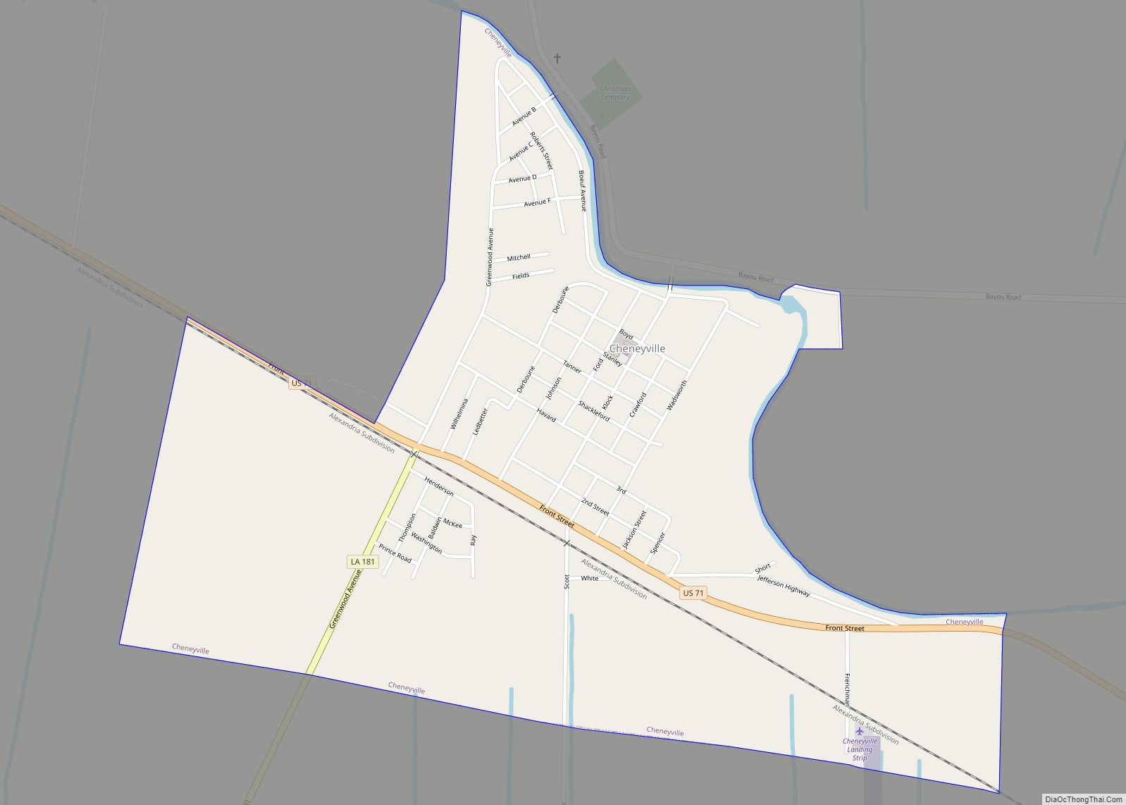
Cheneyville is a town in Rapides Parish, Louisiana, United States. It is part of the Alexandria, Louisiana Metropolitan Statistical Area. The population was 625 at the 2010 census.
| Name: | Cheneyville town |
|---|---|
| LSAD Code: | 43 |
| LSAD Description: | town (suffix) |
| State: | Louisiana |
| County: | Rapides Parish |
| Elevation: | 62 ft (19 m) |
| Total Area: | 1.02 sq mi (2.63 km²) |
| Land Area: | 1.02 sq mi (2.63 km²) |
| Water Area: | 0.00 sq mi (0.00 km²) |
| Total Population: | 468 |
| Population Density: | 460.63/sq mi (177.82/km²) |
| Area code: | 318 |
| FIPS code: | 2214660 |
| GNISfeature ID: | 2406260 |
Online Interactive Map
Click on ![]() to view map in "full screen" mode.
to view map in "full screen" mode.
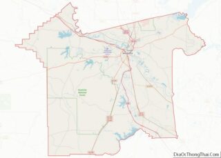
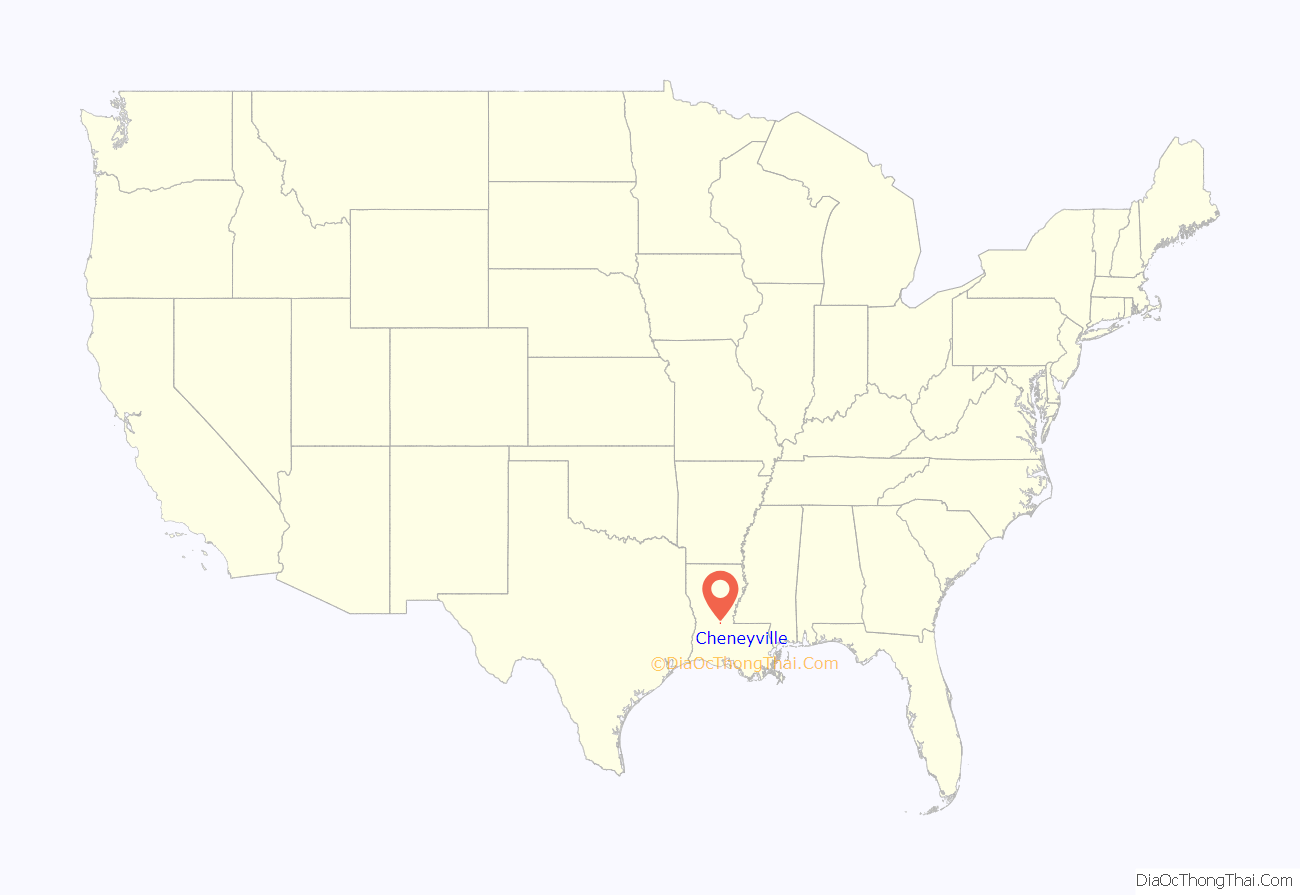
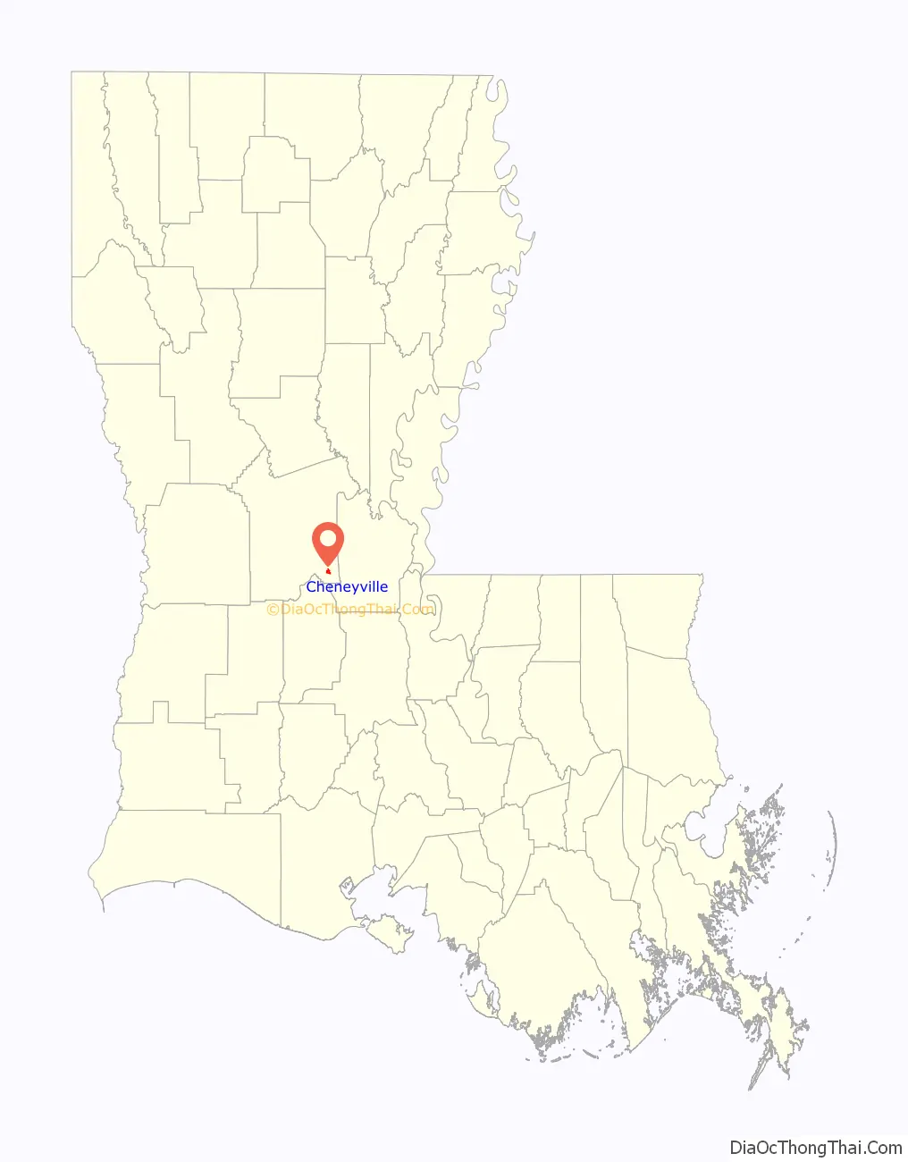
Cheneyville location map. Where is Cheneyville town?
History
The town was named for settler William Cheney.
Cheneyville is significant in the history of the Restoration Movement associated with Alexander Campbell. In 1843 most of the membership of a Baptist congregation, under the leadership of William Prince Ford, who had been influenced by Campbell’s writings, became a Church of Christ. The Cheneyville Christian Church is the oldest congregation associated with the Restoration Movement in Louisiana. In 1857, Campbell visited the congregation and was favorably impressed by its fellowship between the races.
Ford is also known as the original enslaver of Solomon Northup, the main character in the feature film, Twelve Years a Slave. Northup was an African-American who had been born free, but kidnapped in Washington, D.C., and sold to Ford in New Orleans in 1841.
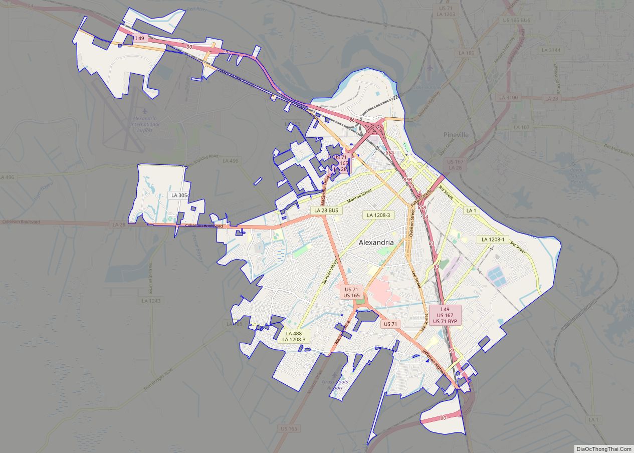
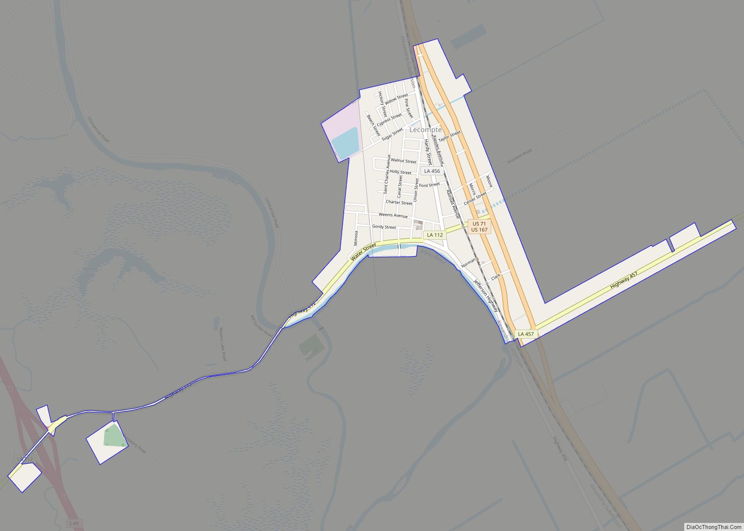
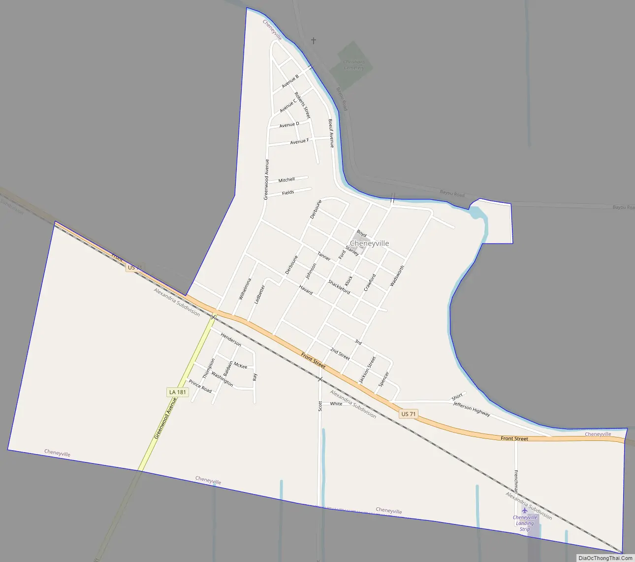
Cheneyville Road Map
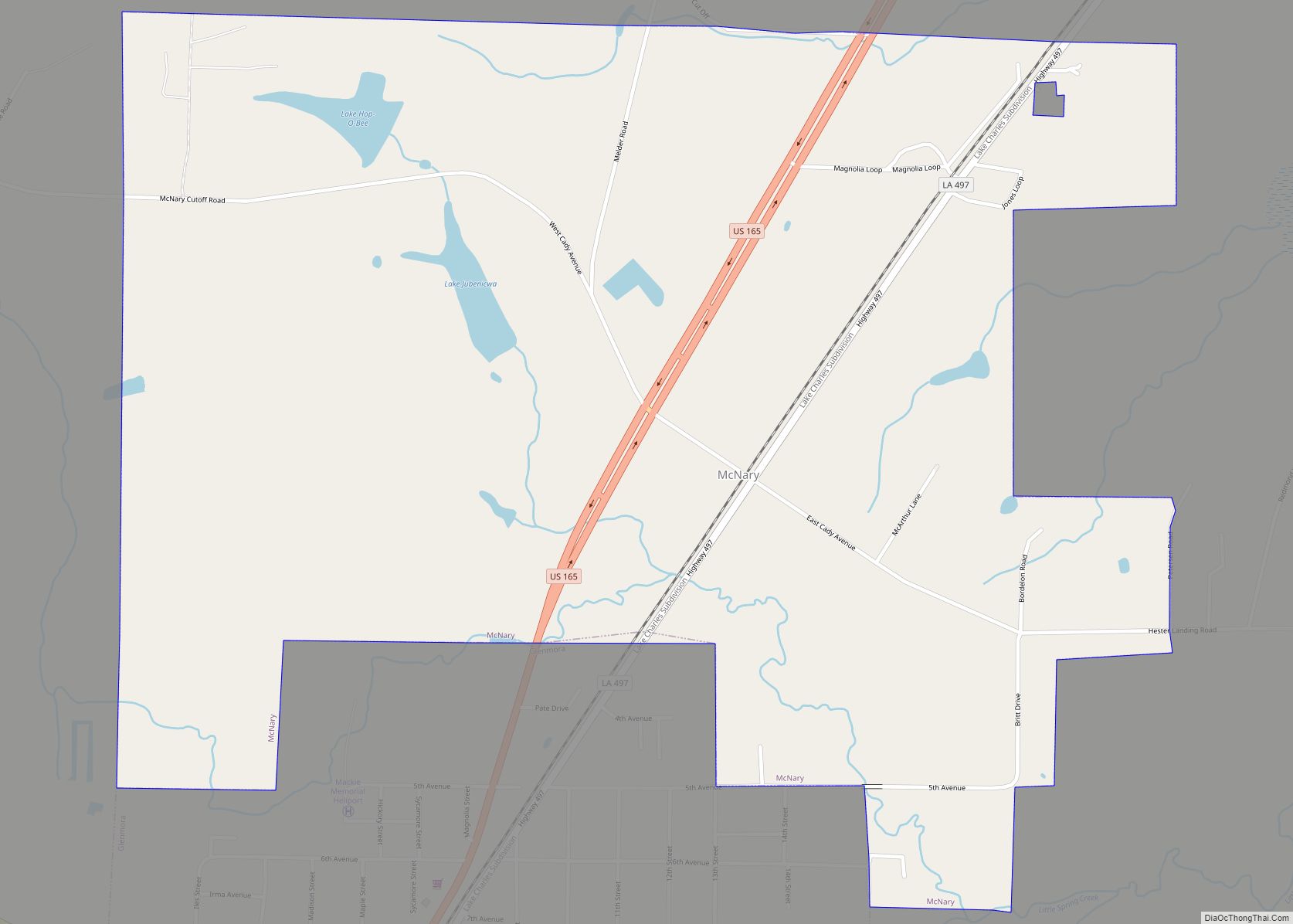
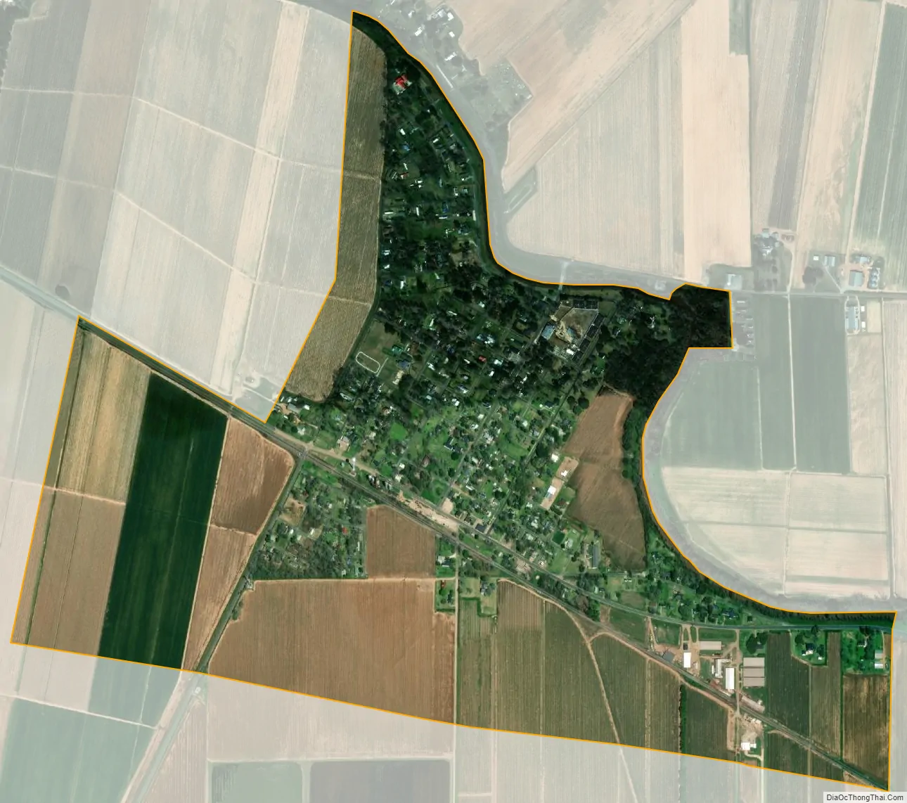
Cheneyville city Satellite Map
Geography
According to the United States Census Bureau, Cheneyville has a total area of 1.0 square mile (2.6 km), all land.
See also
Map of Louisiana State and its subdivision:- Acadia
- Allen
- Ascension
- Assumption
- Avoyelles
- Beauregard
- Bienville
- Bossier
- Caddo
- Calcasieu
- Caldwell
- Cameron
- Catahoula
- Claiborne
- Concordia
- De Soto
- East Baton Rouge
- East Carroll
- East Feliciana
- Evangeline
- Franklin
- Grant
- Iberia
- Iberville
- Jackson
- Jefferson
- Jefferson Davis
- La Salle
- Lafayette
- Lafourche
- Lincoln
- Livingston
- Madison
- Morehouse
- Natchitoches
- Orleans
- Ouachita
- Plaquemines
- Pointe Coupee
- Rapides
- Red River
- Richland
- Sabine
- Saint Bernard
- Saint Charles
- Saint Helena
- Saint James
- Saint John the Baptist
- Saint Landry
- Saint Martin
- Saint Mary
- Saint Tammany
- Tangipahoa
- Tensas
- Terrebonne
- Union
- Vermilion
- Vernon
- Washington
- Webster
- West Baton Rouge
- West Carroll
- West Feliciana
- Winn
- Alabama
- Alaska
- Arizona
- Arkansas
- California
- Colorado
- Connecticut
- Delaware
- District of Columbia
- Florida
- Georgia
- Hawaii
- Idaho
- Illinois
- Indiana
- Iowa
- Kansas
- Kentucky
- Louisiana
- Maine
- Maryland
- Massachusetts
- Michigan
- Minnesota
- Mississippi
- Missouri
- Montana
- Nebraska
- Nevada
- New Hampshire
- New Jersey
- New Mexico
- New York
- North Carolina
- North Dakota
- Ohio
- Oklahoma
- Oregon
- Pennsylvania
- Rhode Island
- South Carolina
- South Dakota
- Tennessee
- Texas
- Utah
- Vermont
- Virginia
- Washington
- West Virginia
- Wisconsin
- Wyoming