Cottonport is a town in Avoyelles Parish, Louisiana, United States. The population was 2,006 at the 2010 census.
| Name: | Cottonport town |
|---|---|
| LSAD Code: | 43 |
| LSAD Description: | town (suffix) |
| State: | Louisiana |
| County: | Avoyelles Parish |
| Incorporated: | 1888 |
| Elevation: | 56 ft (17 m) |
| Total Area: | 2.00 sq mi (5.19 km²) |
| Land Area: | 2.00 sq mi (5.19 km²) |
| Water Area: | 0.00 sq mi (0.00 km²) |
| Total Population: | 2,023 |
| Population Density: | 1,008.98/sq mi (389.53/km²) |
| Area code: | 318 |
| FIPS code: | 2217880 |
| Website: | https://townofcottonport.com |
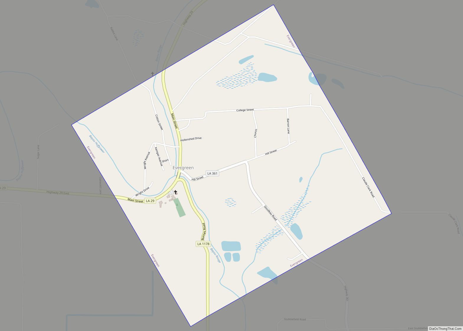
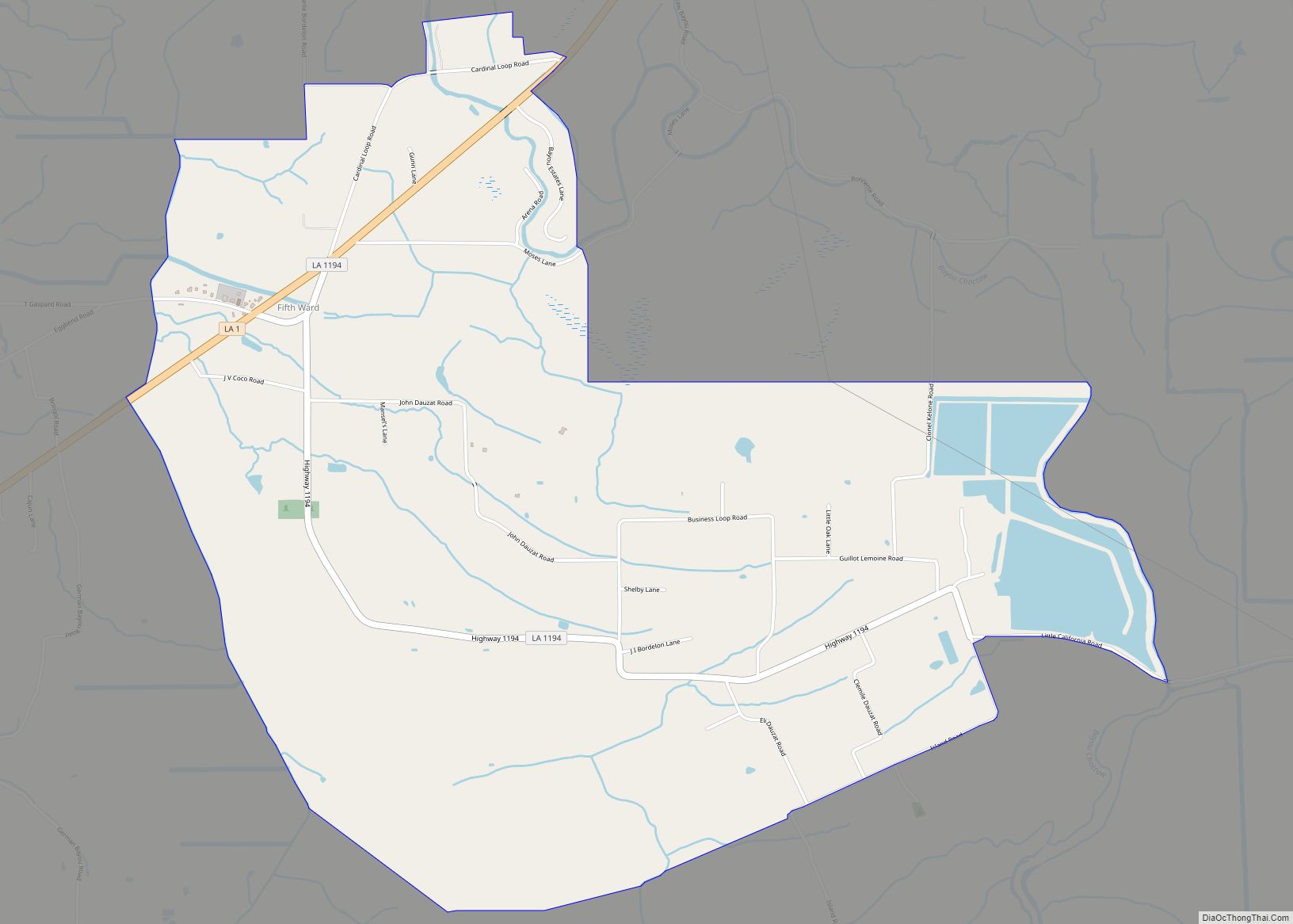
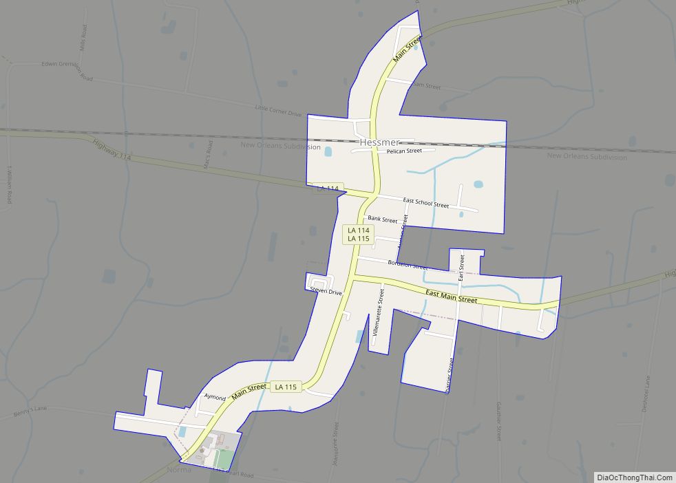
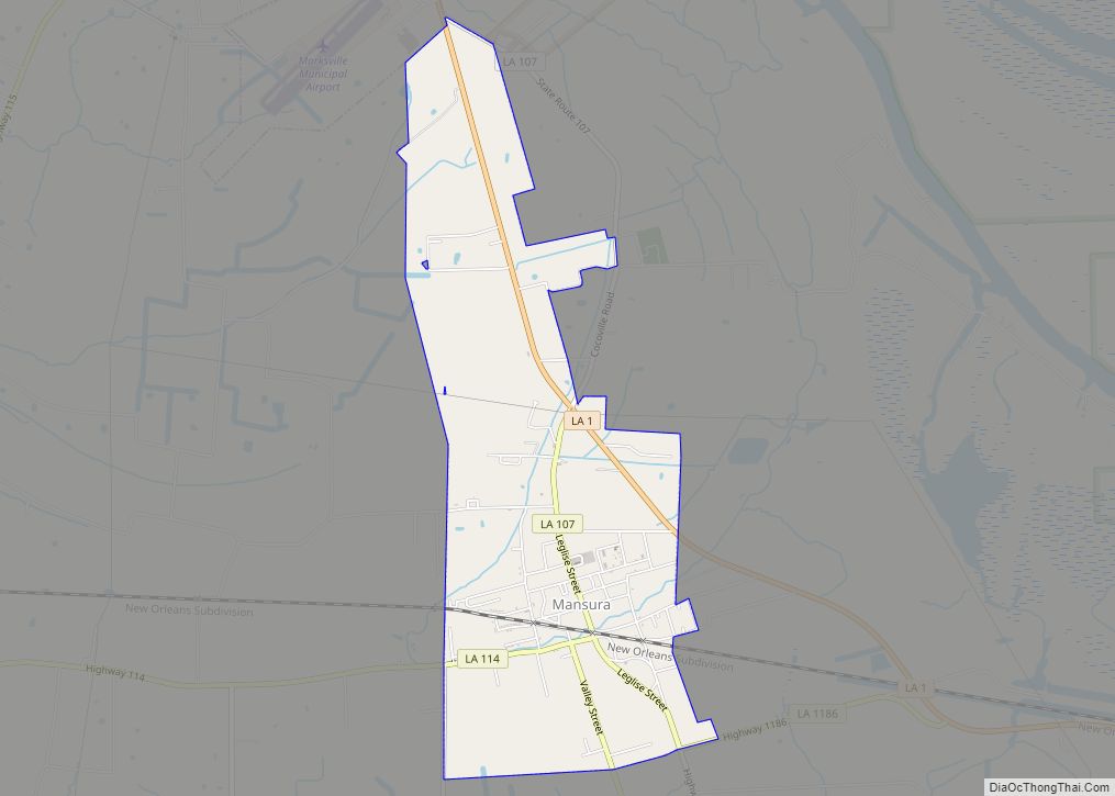
Online Interactive Map
Click on ![]() to view map in "full screen" mode.
to view map in "full screen" mode.
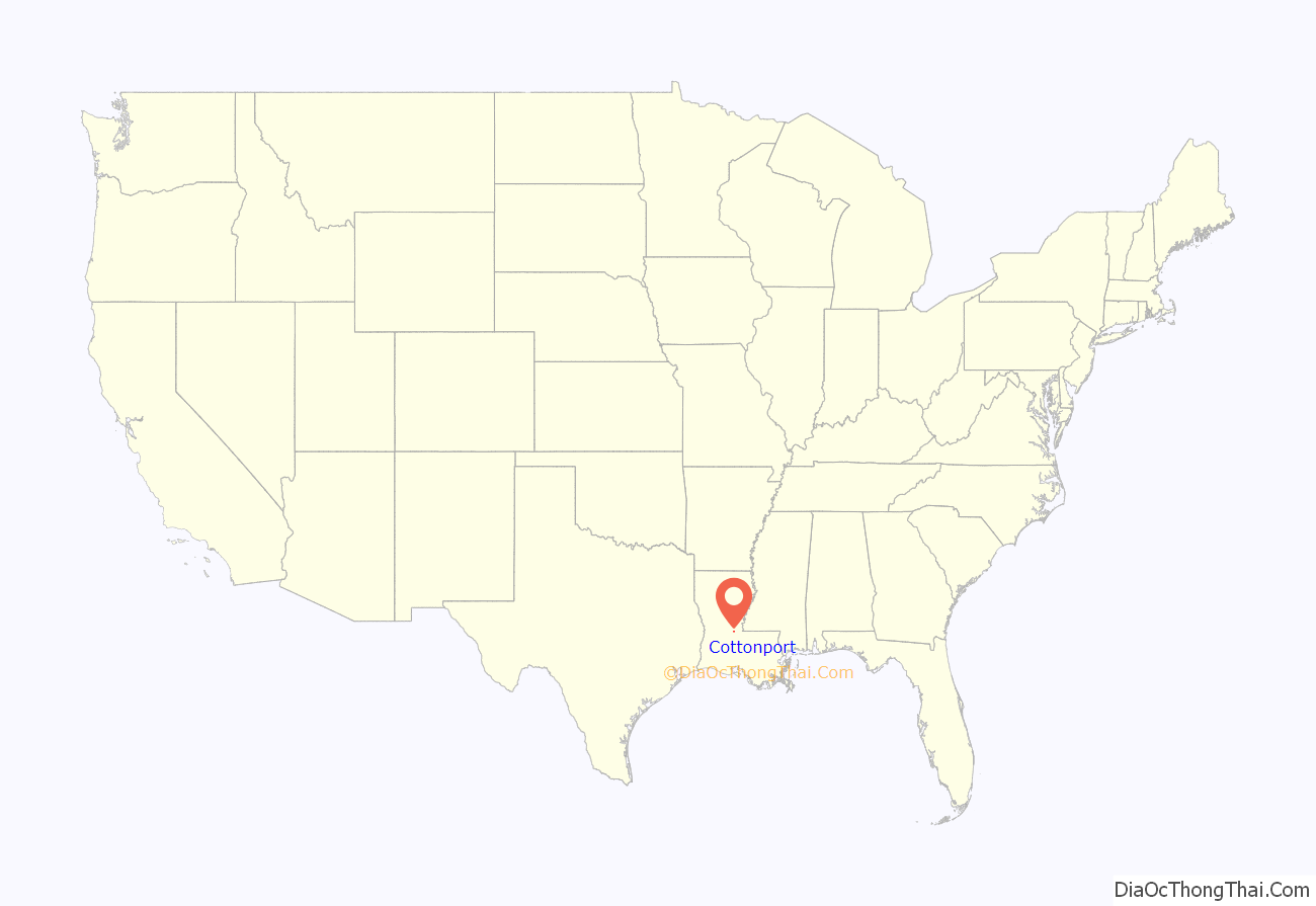
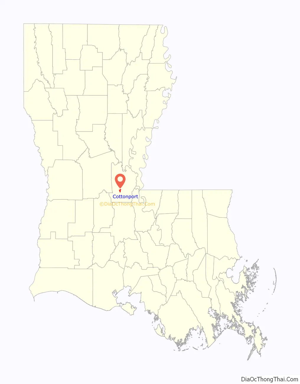
Cottonport location map. Where is Cottonport town?
History
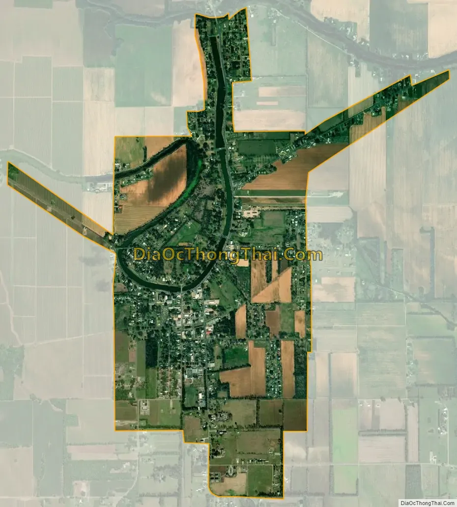
Cottonport was founded in the early 19th century. In 1835, Joseph Jean Pierre Ducote II donated land to be used for a road and school, which was the beginnings of the community. Incorporated in 1888 along the banks of Bayou Rouge (French for “Red Bayou”). In the 19th century, large boats made their way through Cottonport with goods destined for the port of New Orleans. The bayou was deep enough to support the large boats and formed a perfect horseshoe, which allowed vessels to turn around. The boats would deliver cargo into the area and would load crops on board to take to larger ports along the route. The main crop available for exporting at that time was cotton. In fact, because so much cotton was being shipped from the port, early settlers named the village Cottonport.
Present day
Today, over 100 years after its incorporation, Cottonport retains many of its picturesque qualities. Although Bayou Rouge is no longer navigable, it continues to be used as a fishing hole. It also serves as the backdrop to the annual Cottonport Christmas Festival, held the second weekend in December, which celebrated its 50th anniversary in 2015.
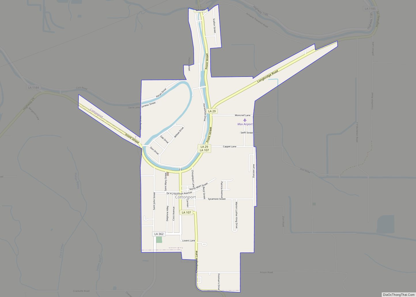
Cottonport Road Map
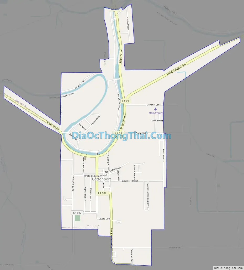
Cottonport city Satellite Map
Geography
Cottonport is located at 30°59′18″N 92°3′11″W / 30.98833°N 92.05306°W / 30.98833; -92.05306 (30.988465, -92.053049).
According to the United States Census Bureau, the town has a total area of 2.0 square miles (5.2 km), all land.
See also
Map of Louisiana State and its subdivision:- Acadia
- Allen
- Ascension
- Assumption
- Avoyelles
- Beauregard
- Bienville
- Bossier
- Caddo
- Calcasieu
- Caldwell
- Cameron
- Catahoula
- Claiborne
- Concordia
- De Soto
- East Baton Rouge
- East Carroll
- East Feliciana
- Evangeline
- Franklin
- Grant
- Iberia
- Iberville
- Jackson
- Jefferson
- Jefferson Davis
- La Salle
- Lafayette
- Lafourche
- Lincoln
- Livingston
- Madison
- Morehouse
- Natchitoches
- Orleans
- Ouachita
- Plaquemines
- Pointe Coupee
- Rapides
- Red River
- Richland
- Sabine
- Saint Bernard
- Saint Charles
- Saint Helena
- Saint James
- Saint John the Baptist
- Saint Landry
- Saint Martin
- Saint Mary
- Saint Tammany
- Tangipahoa
- Tensas
- Terrebonne
- Union
- Vermilion
- Vernon
- Washington
- Webster
- West Baton Rouge
- West Carroll
- West Feliciana
- Winn
- Alabama
- Alaska
- Arizona
- Arkansas
- California
- Colorado
- Connecticut
- Delaware
- District of Columbia
- Florida
- Georgia
- Hawaii
- Idaho
- Illinois
- Indiana
- Iowa
- Kansas
- Kentucky
- Louisiana
- Maine
- Maryland
- Massachusetts
- Michigan
- Minnesota
- Mississippi
- Missouri
- Montana
- Nebraska
- Nevada
- New Hampshire
- New Jersey
- New Mexico
- New York
- North Carolina
- North Dakota
- Ohio
- Oklahoma
- Oregon
- Pennsylvania
- Rhode Island
- South Carolina
- South Dakota
- Tennessee
- Texas
- Utah
- Vermont
- Virginia
- Washington
- West Virginia
- Wisconsin
- Wyoming