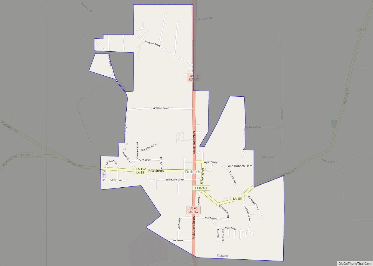
Dubach is a town in Lincoln Parish, Louisiana, United States. The population was 908 in 2020. Dubach is part of the Ruston micropolitan statistical area.
| Name: | Dubach town |
|---|---|
| LSAD Code: | 43 |
| LSAD Description: | town (suffix) |
| State: | Louisiana |
| County: | Lincoln Parish |
| Elevation: | 164 ft (50 m) |
| Total Area: | 1.88 sq mi (4.87 km²) |
| Land Area: | 1.82 sq mi (4.71 km²) |
| Water Area: | 0.06 sq mi (0.16 km²) |
| Total Population: | 908 |
| Population Density: | 499.72/sq mi (192.94/km²) |
| Area code: | 318 |
| FIPS code: | 2221800 |
| Website: | http://www.dubachla.com |
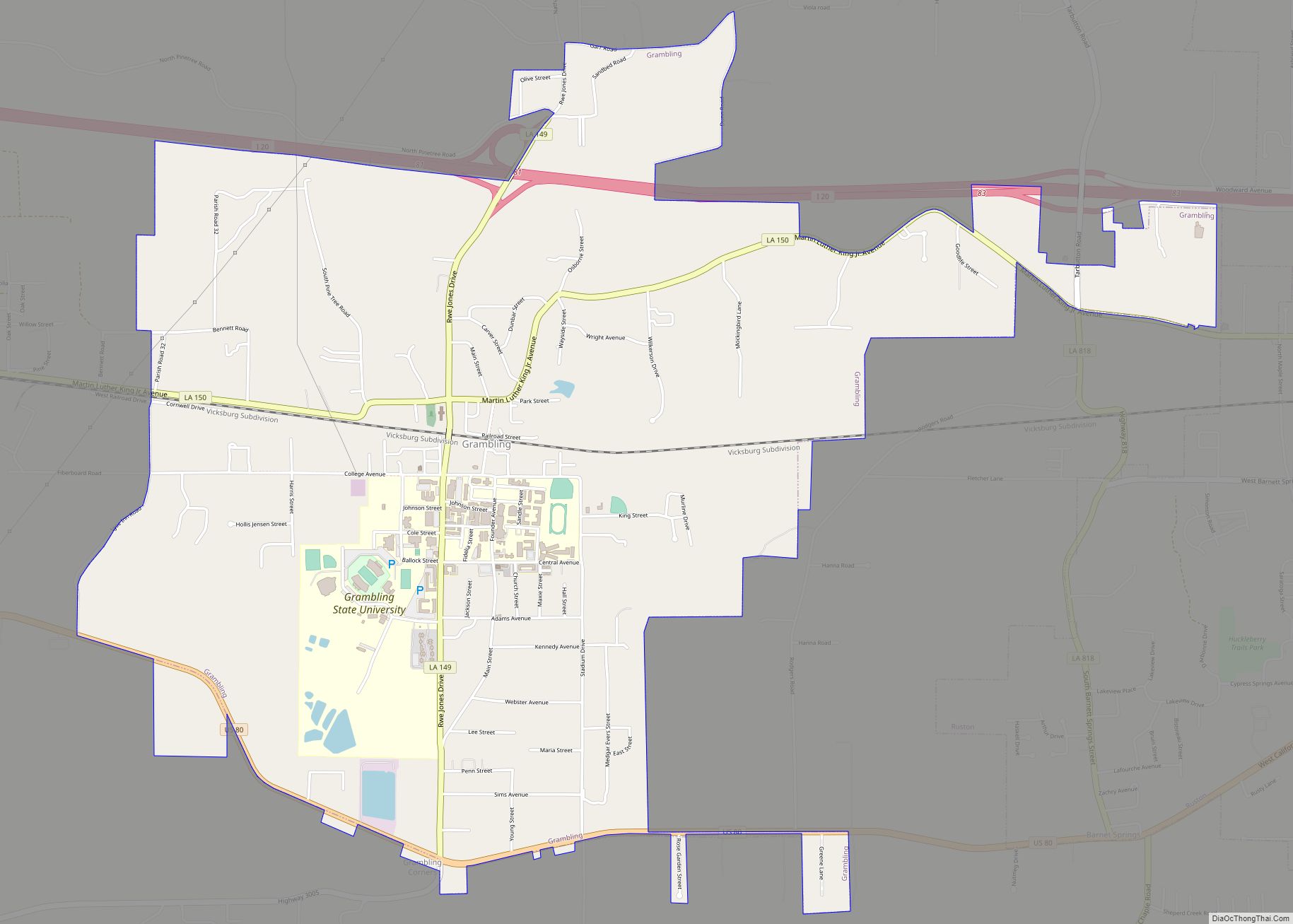
Online Interactive Map
Click on ![]() to view map in "full screen" mode.
to view map in "full screen" mode.
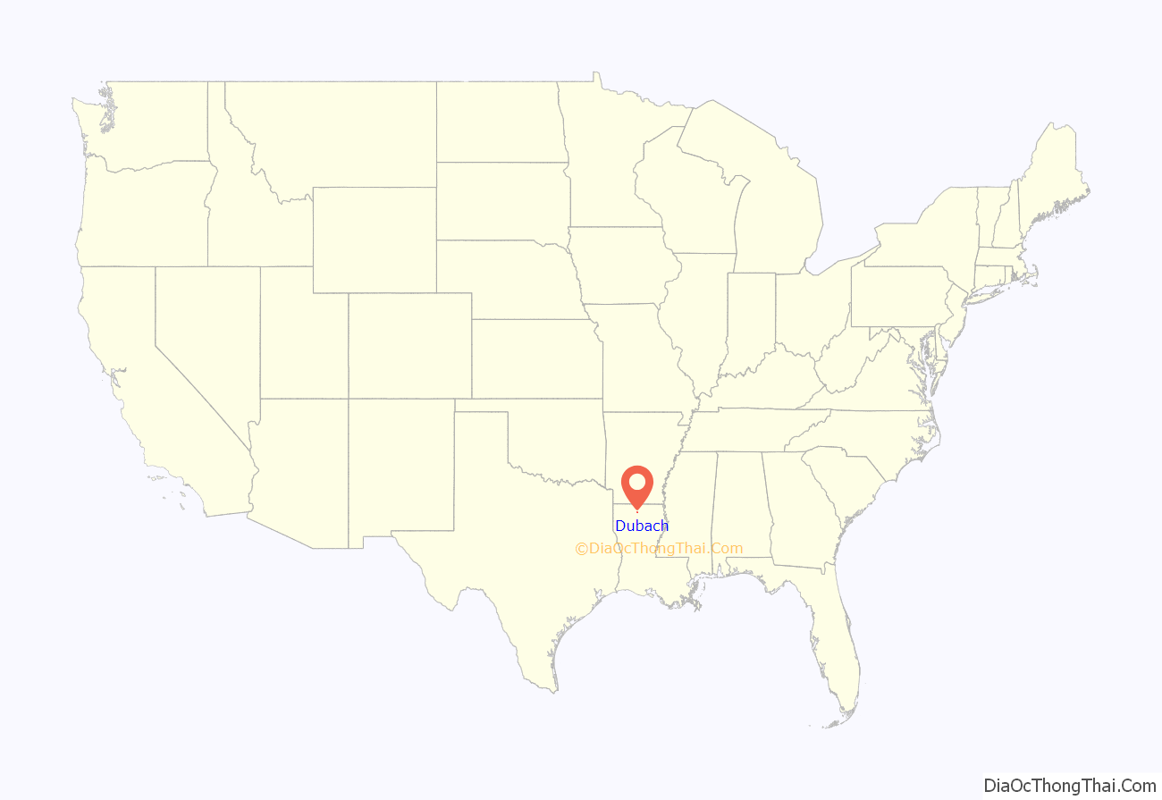
Dubach location map. Where is Dubach town?
History
Although there were settlers in the Dubach area as early as the late-1840s, the town’s origins date to the arrival of the Arkansas Southern Railway in 1898. With the coming of the railroad, the way was opened for the development of the lumber industry. In 1899, Fred B. Dubach, a lumberman from St. Louis, Missouri, arrived in the area and started the Dubach Lumber Company. Shortly thereafter he built a large house and a lumber mill was located across the road. An old aerial photograph indicates that the lumber mill was by far the largest building in town and visually dominated the townscape. Undoubtedly the Dubach Lumber Company was a major factor in the growth and development of what in 1901 was chartered as the town of Dubach. A few years later (c. 1906), Dubach sold his mill and home and returned to St, Louis. Dubach’s home still stands and is listed on the National Register of Historic Places. The sawmill no longer exists.
In the fall of 2005, Dubach voters defeated a bond issue that would have funded renovations to Hico Elementary and Dubach High schools. Despite a well-spoken campaign by high school principal Donna Doss, voters killed the issue by a wide margin. Local media speculated that the economic effects of Hurricane Katrina may have swayed voters to err on the side of caution with regards to new taxation. The high school closed and students now attend Ruston High School. Only Dubach Elementary School remains.
Water tower
Town Hall
Dubach High School
Aerial View of Dubach, Louisiana
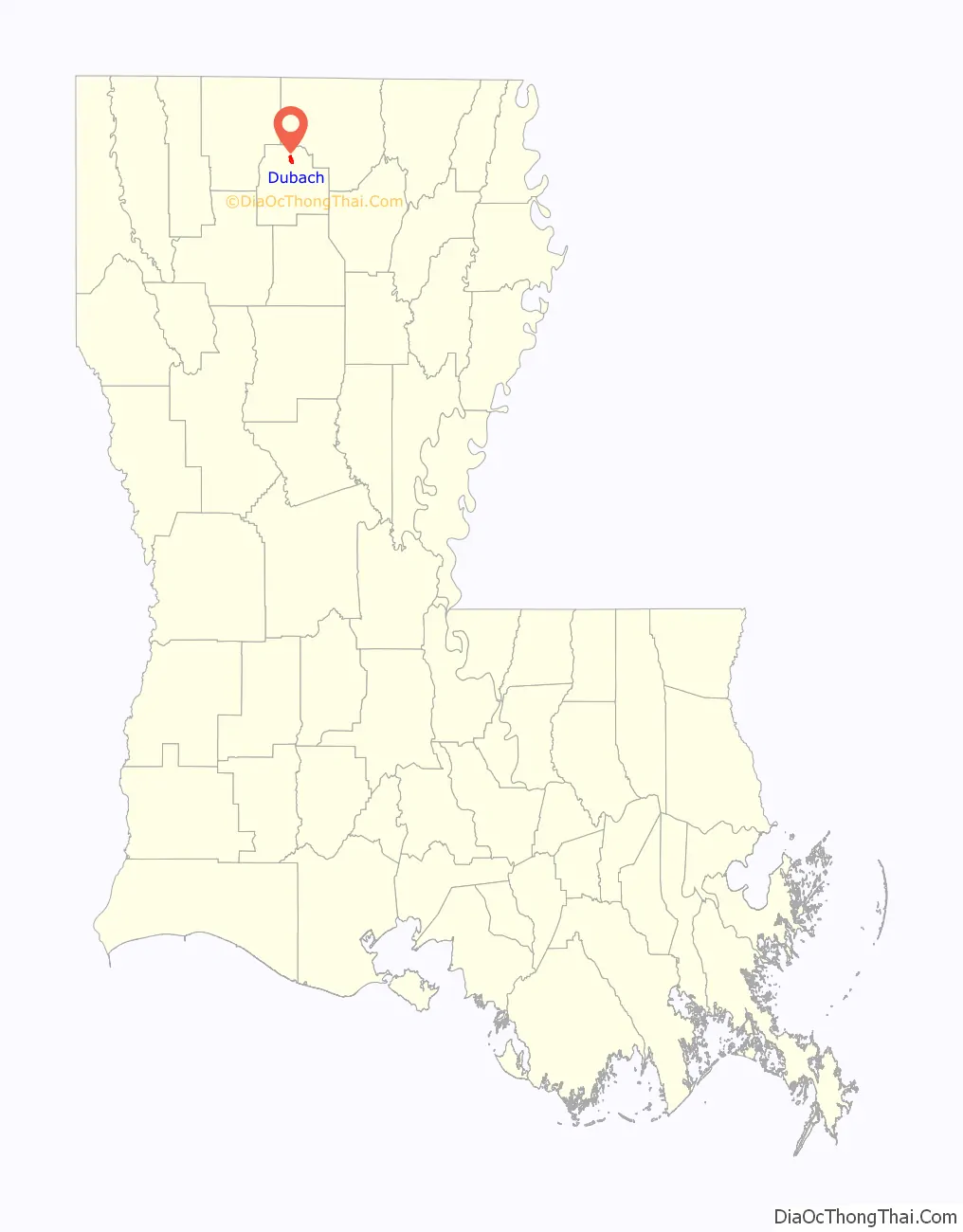
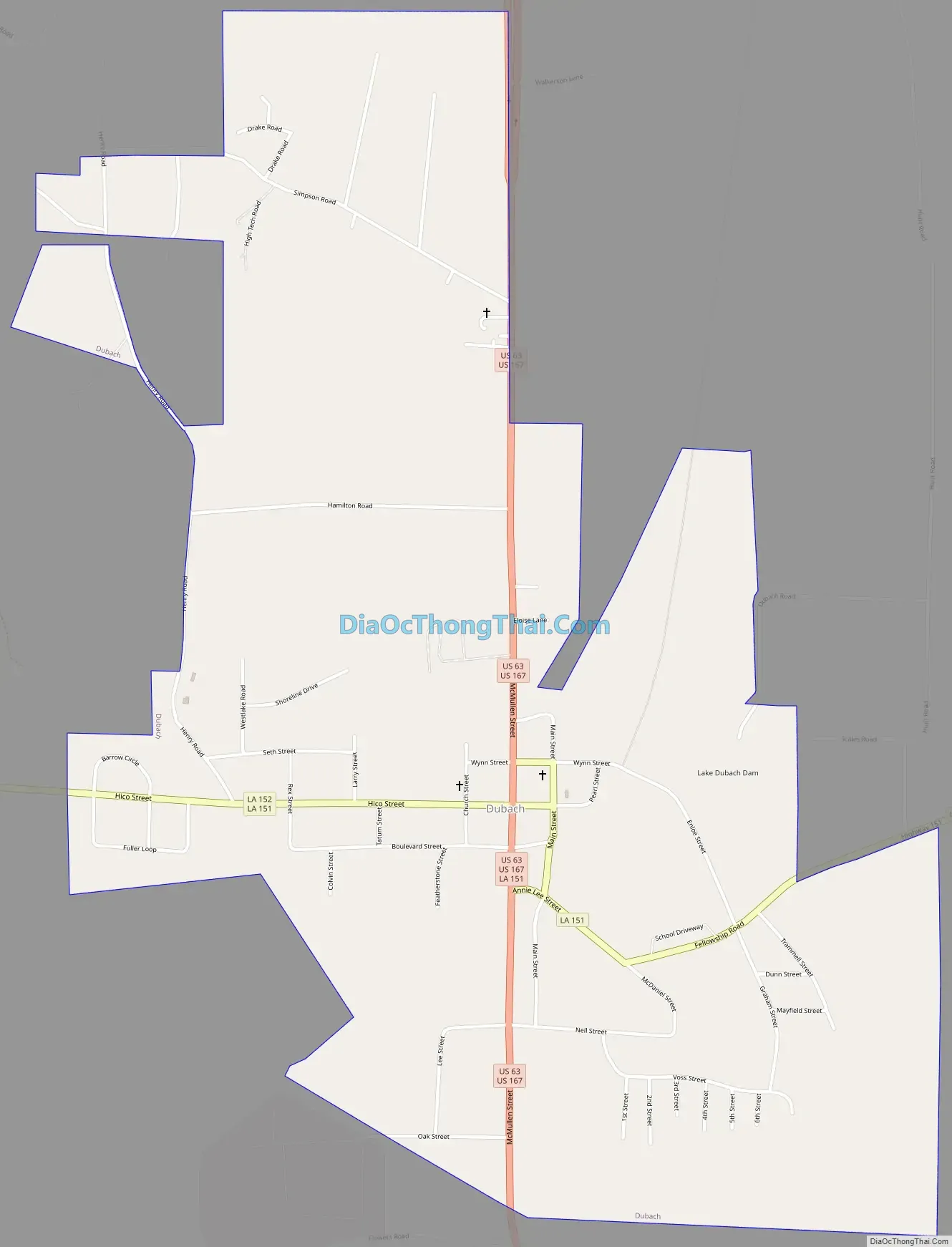
Dubach Road Map
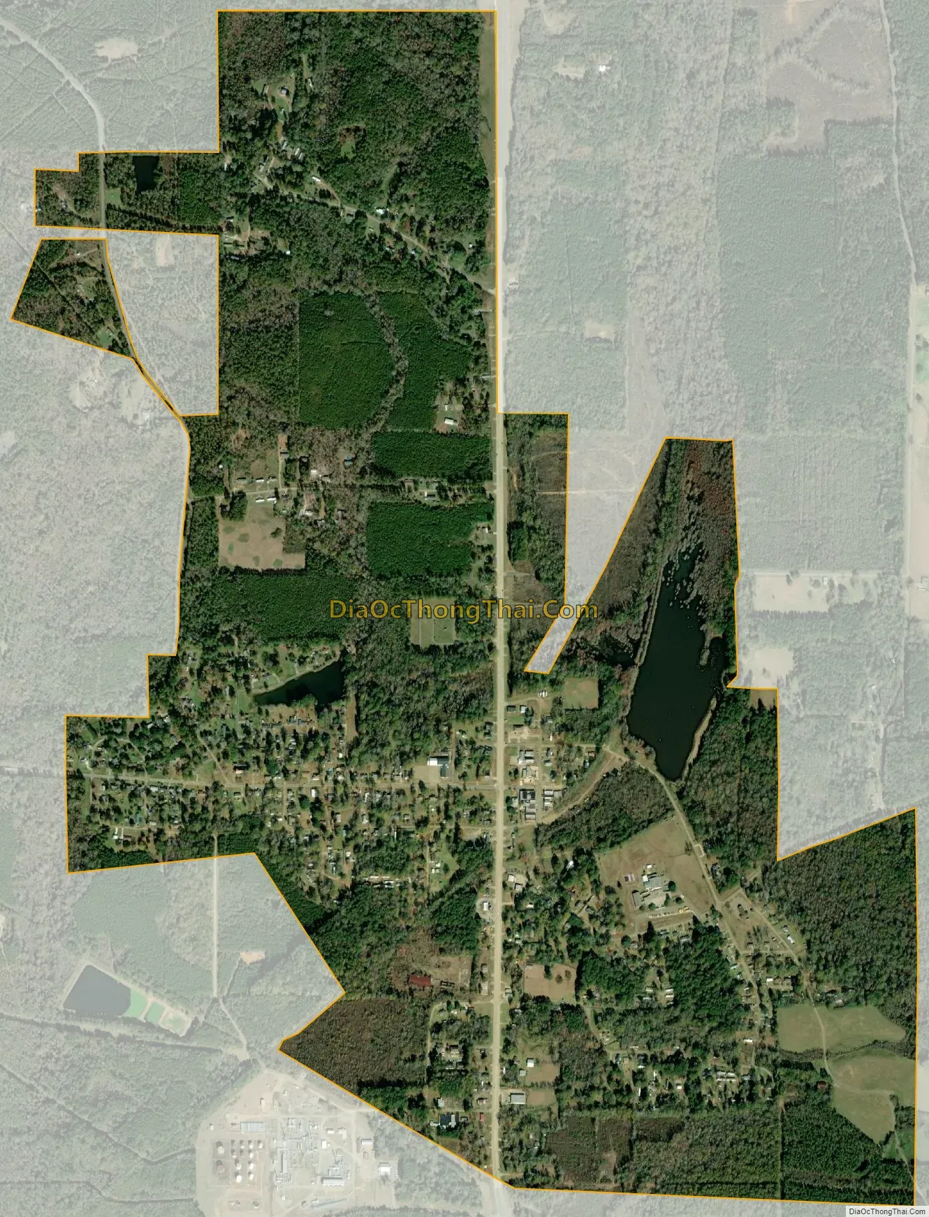
Dubach city Satellite Map
Geography
According to the United States Census Bureau, the town has a total area of 1.5 square miles (3.9 km), of which 1.4 square miles (3.6 km) is land and 0.04 square miles (0.10 km) (2.72%) is water.
See also
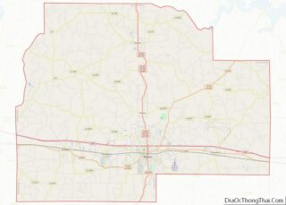
Map of Louisiana State and its subdivision:- Acadia
- Allen
- Ascension
- Assumption
- Avoyelles
- Beauregard
- Bienville
- Bossier
- Caddo
- Calcasieu
- Caldwell
- Cameron
- Catahoula
- Claiborne
- Concordia
- De Soto
- East Baton Rouge
- East Carroll
- East Feliciana
- Evangeline
- Franklin
- Grant
- Iberia
- Iberville
- Jackson
- Jefferson
- Jefferson Davis
- La Salle
- Lafayette
- Lafourche
- Lincoln
- Livingston
- Madison
- Morehouse
- Natchitoches
- Orleans
- Ouachita
- Plaquemines
- Pointe Coupee
- Rapides
- Red River
- Richland
- Sabine
- Saint Bernard
- Saint Charles
- Saint Helena
- Saint James
- Saint John the Baptist
- Saint Landry
- Saint Martin
- Saint Mary
- Saint Tammany
- Tangipahoa
- Tensas
- Terrebonne
- Union
- Vermilion
- Vernon
- Washington
- Webster
- West Baton Rouge
- West Carroll
- West Feliciana
- Winn
- Alabama
- Alaska
- Arizona
- Arkansas
- California
- Colorado
- Connecticut
- Delaware
- District of Columbia
- Florida
- Georgia
- Hawaii
- Idaho
- Illinois
- Indiana
- Iowa
- Kansas
- Kentucky
- Louisiana
- Maine
- Maryland
- Massachusetts
- Michigan
- Minnesota
- Mississippi
- Missouri
- Montana
- Nebraska
- Nevada
- New Hampshire
- New Jersey
- New Mexico
- New York
- North Carolina
- North Dakota
- Ohio
- Oklahoma
- Oregon
- Pennsylvania
- Rhode Island
- South Carolina
- South Dakota
- Tennessee
- Texas
- Utah
- Vermont
- Virginia
- Washington
- West Virginia
- Wisconsin
- Wyoming