Inniswold is an unincorporated area and census-designated place (CDP) in East Baton Rouge Parish, Louisiana, United States. The population was 6,180 at the 2010 census, up from 4,944 in 2000. In 2020, its population was 5,987. It is part of the Baton Rouge metropolitan statistical area.
It is in the proposed City of St. George.
| Name: | Inniswold CDP |
|---|---|
| LSAD Code: | 57 |
| LSAD Description: | CDP (suffix) |
| State: | Louisiana |
| County: | East Baton Rouge Parish |
| Elevation: | 30 ft (9 m) |
| Total Area: | 2.24 sq mi (5.80 km²) |
| Land Area: | 2.24 sq mi (5.80 km²) |
| Water Area: | 0.00 sq mi (0.00 km²) |
| Total Population: | 5,987 |
| Population Density: | 2,672.77/sq mi (1,032.09/km²) |
| Area code: | 225 |
| FIPS code: | 2237270 |
Online Interactive Map
Click on ![]() to view map in "full screen" mode.
to view map in "full screen" mode.
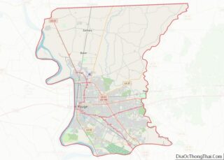
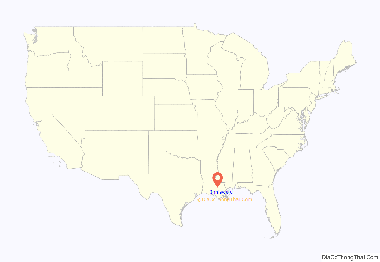
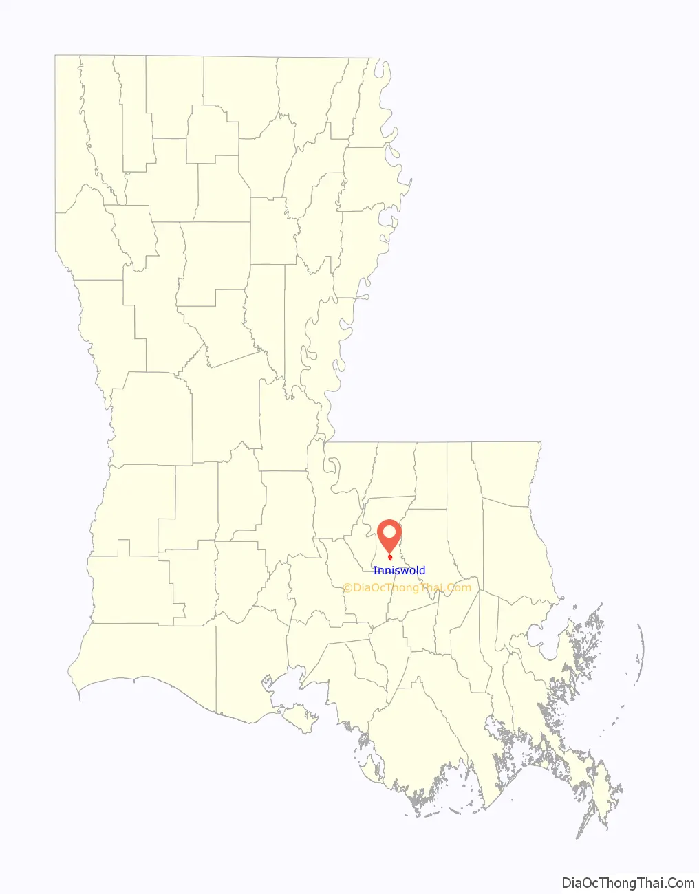
Inniswold location map. Where is Inniswold CDP?
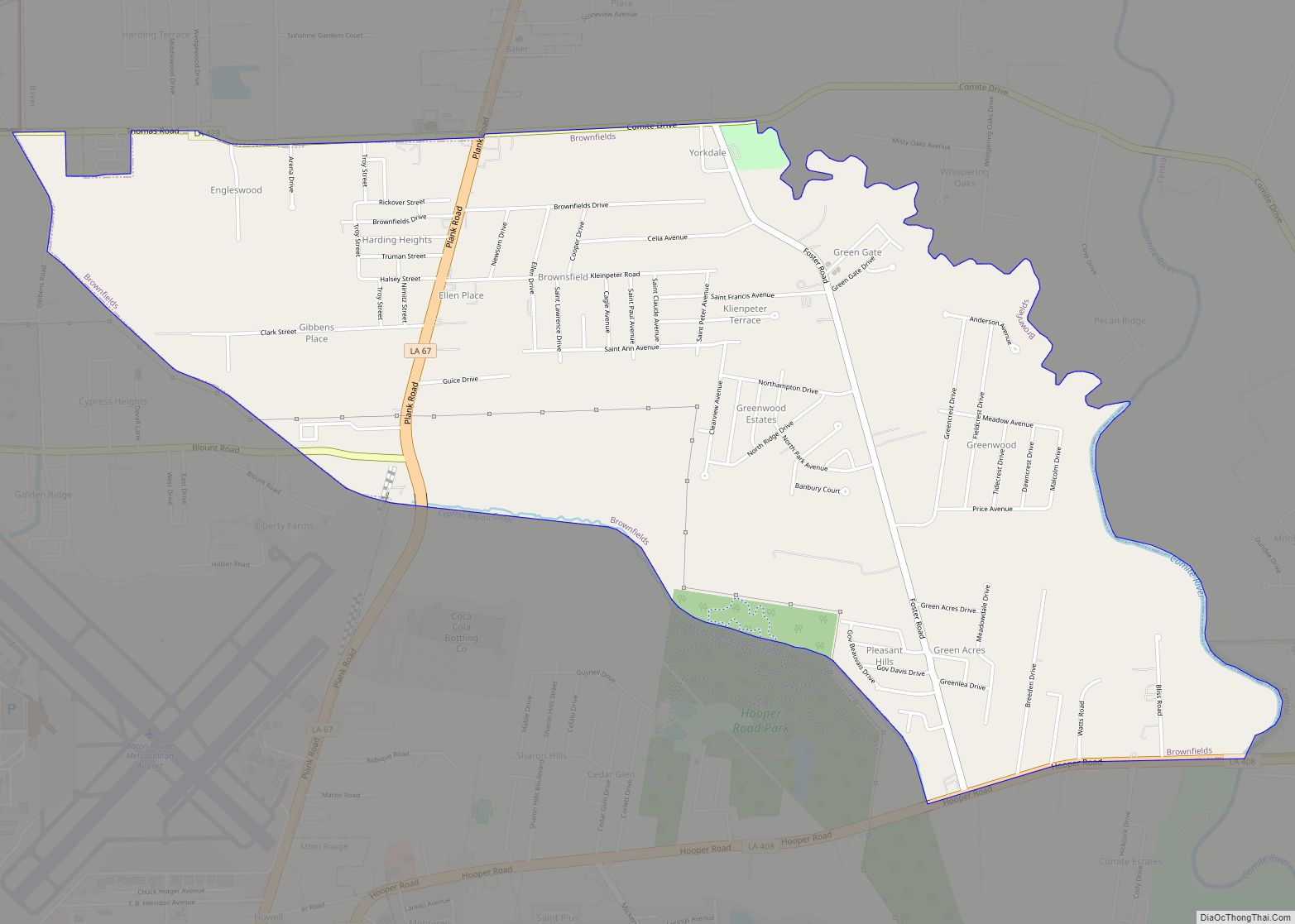
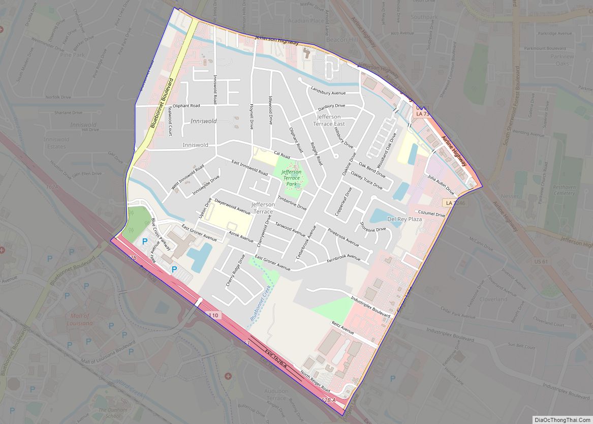
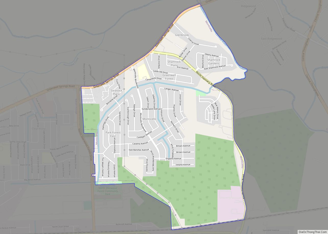
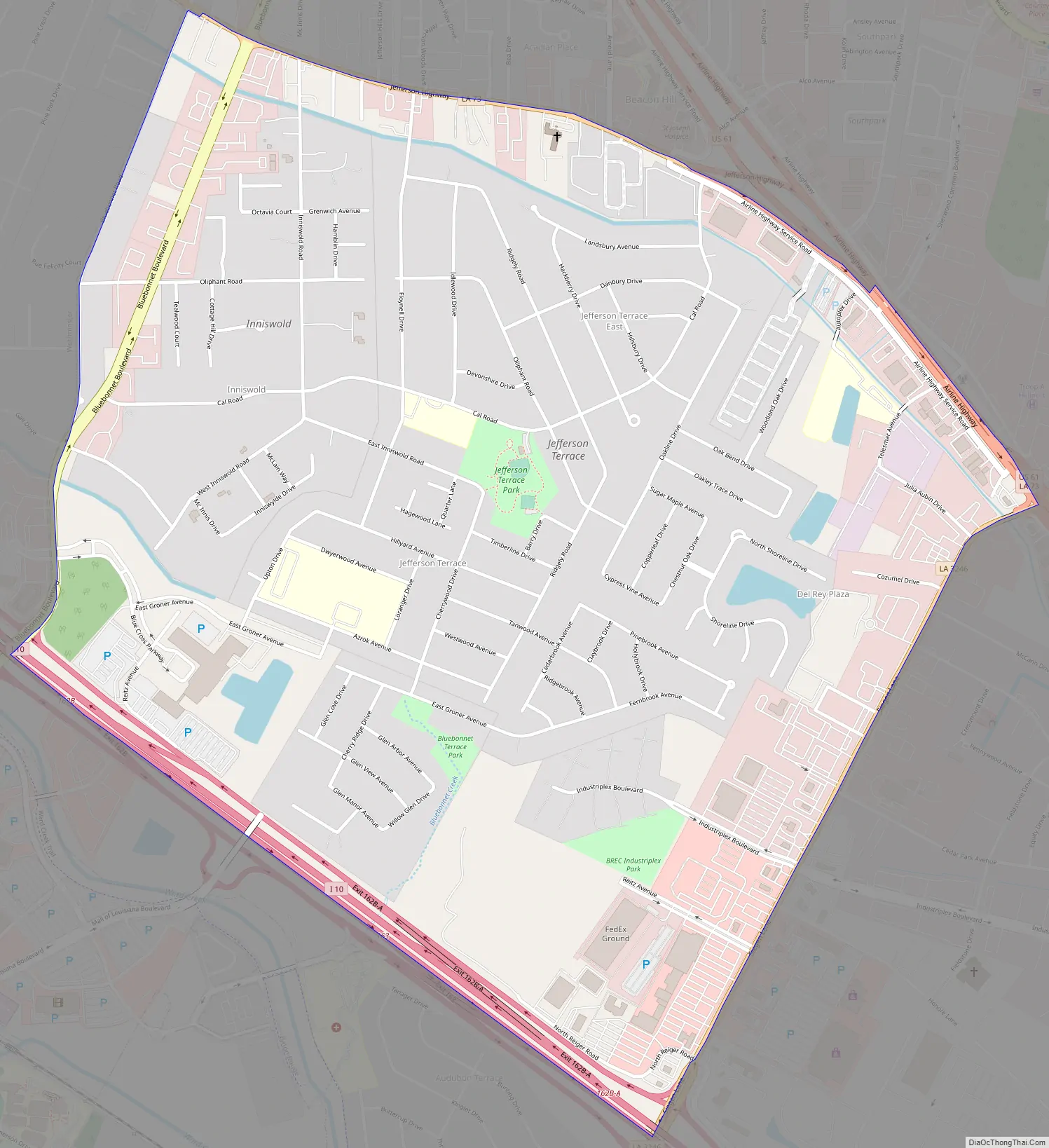
Inniswold Road Map
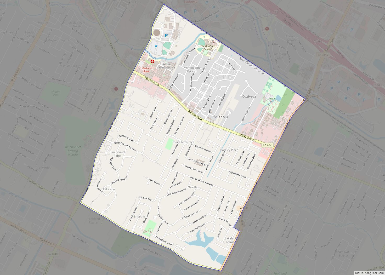
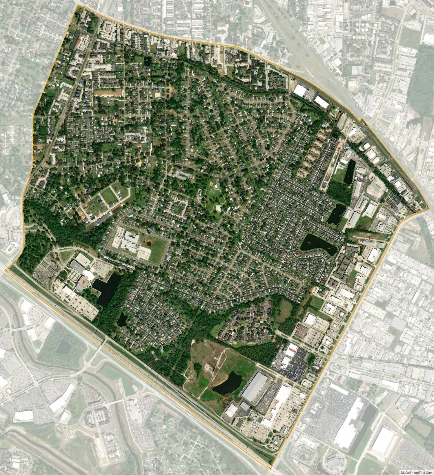
Inniswold city Satellite Map
Geography
Inniswold is located in southern East Baton Rouge Parish at 30°24′2″N 91°4′18″W / 30.40056°N 91.07167°W / 30.40056; -91.07167 (30.400658, -91.071652). It is bordered to the west, across Bluebonnet Road, by Westminster. Jefferson Highway (Louisiana Highway 73) forms the northern border, Siegen Lane the eastern border, and Interstate 10 the southern border. Access from Interstate 10 is from Exits 162 and 163. The center of Baton Rouge is 8 miles (13 km) to the northwest.
According to the United States Census Bureau, the Inniswold CDP has a total area of 2.2 square miles (5.8 km), all land.
See also
Map of Louisiana State and its subdivision:- Acadia
- Allen
- Ascension
- Assumption
- Avoyelles
- Beauregard
- Bienville
- Bossier
- Caddo
- Calcasieu
- Caldwell
- Cameron
- Catahoula
- Claiborne
- Concordia
- De Soto
- East Baton Rouge
- East Carroll
- East Feliciana
- Evangeline
- Franklin
- Grant
- Iberia
- Iberville
- Jackson
- Jefferson
- Jefferson Davis
- La Salle
- Lafayette
- Lafourche
- Lincoln
- Livingston
- Madison
- Morehouse
- Natchitoches
- Orleans
- Ouachita
- Plaquemines
- Pointe Coupee
- Rapides
- Red River
- Richland
- Sabine
- Saint Bernard
- Saint Charles
- Saint Helena
- Saint James
- Saint John the Baptist
- Saint Landry
- Saint Martin
- Saint Mary
- Saint Tammany
- Tangipahoa
- Tensas
- Terrebonne
- Union
- Vermilion
- Vernon
- Washington
- Webster
- West Baton Rouge
- West Carroll
- West Feliciana
- Winn
- Alabama
- Alaska
- Arizona
- Arkansas
- California
- Colorado
- Connecticut
- Delaware
- District of Columbia
- Florida
- Georgia
- Hawaii
- Idaho
- Illinois
- Indiana
- Iowa
- Kansas
- Kentucky
- Louisiana
- Maine
- Maryland
- Massachusetts
- Michigan
- Minnesota
- Mississippi
- Missouri
- Montana
- Nebraska
- Nevada
- New Hampshire
- New Jersey
- New Mexico
- New York
- North Carolina
- North Dakota
- Ohio
- Oklahoma
- Oregon
- Pennsylvania
- Rhode Island
- South Carolina
- South Dakota
- Tennessee
- Texas
- Utah
- Vermont
- Virginia
- Washington
- West Virginia
- Wisconsin
- Wyoming