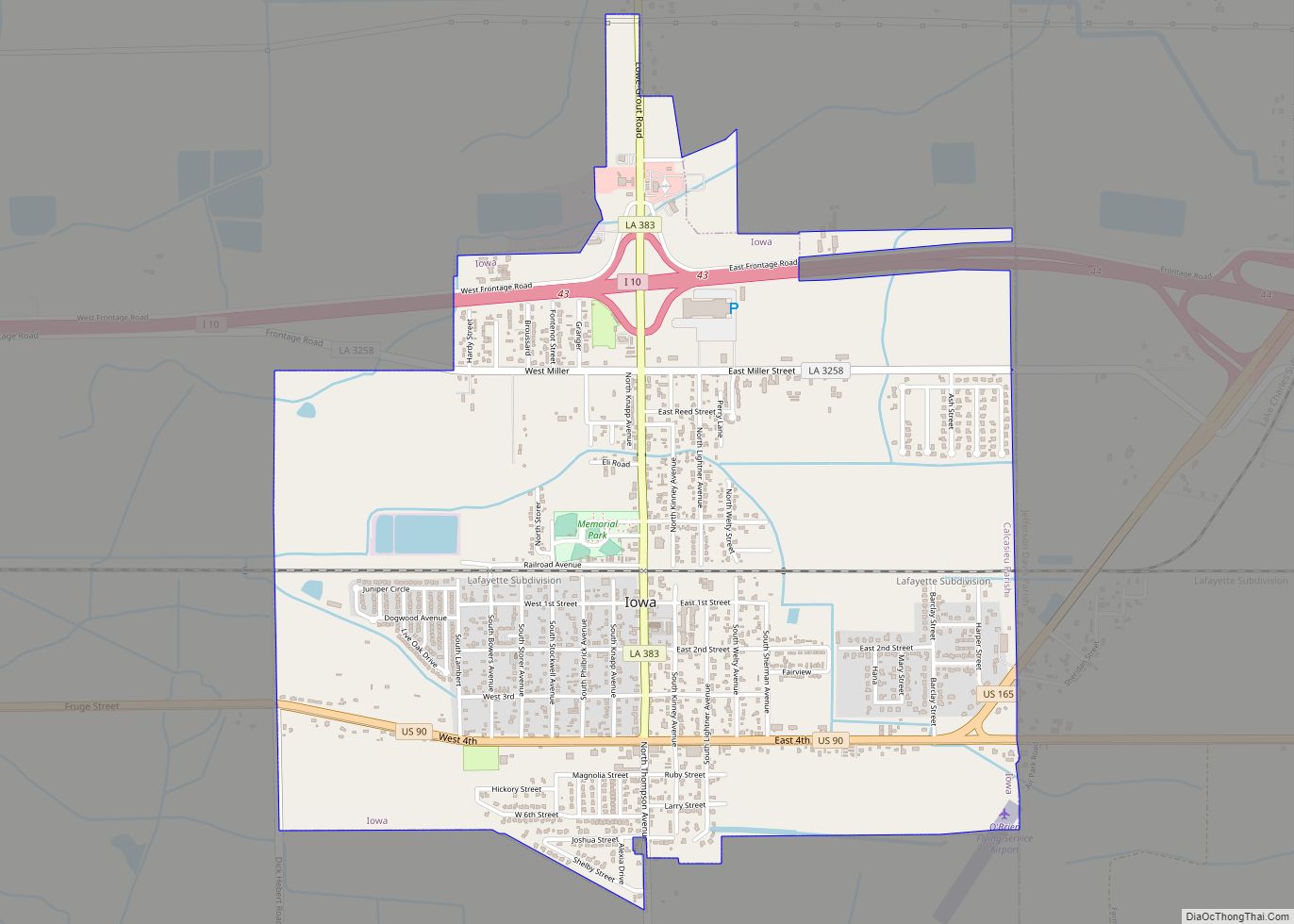
Iowa (/ˈaɪəweɪ/) is a town in Calcasieu Parish, Louisiana, United States. The population was 3,436 in 2020. It is part of the Lake Charles metropolitan statistical area.
| Name: | Iowa town |
|---|---|
| LSAD Code: | 43 |
| LSAD Description: | town (suffix) |
| State: | Louisiana |
| County: | Calcasieu Parish |
| Elevation: | 20 ft (6 m) |
| Total Area: | 3.43 sq mi (8.89 km²) |
| Land Area: | 3.40 sq mi (8.80 km²) |
| Water Area: | 0.04 sq mi (0.10 km²) |
| Total Population: | 3,436 |
| Population Density: | 1,011.78/sq mi (390.64/km²) |
| Area code: | 337 |
| FIPS code: | 2237445 |
| Website: | iowala.org |
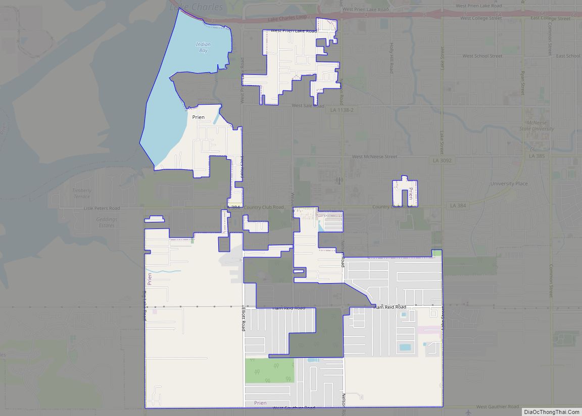
Online Interactive Map
Click on ![]() to view map in "full screen" mode.
to view map in "full screen" mode.
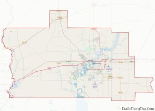
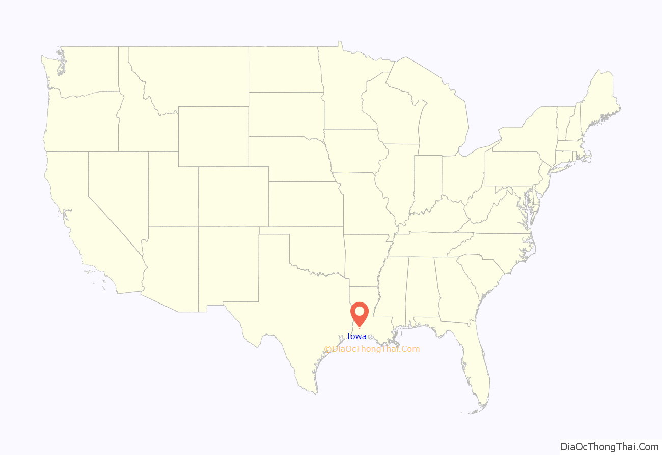
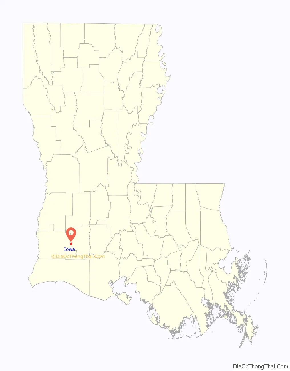
Iowa location map. Where is Iowa town?
History
The history of this region is filled with stories of the early Midwestern settlers from Kansas, Illinois and Iowa, of the Acadians (Cajuns), and of Jean Lafitte’s pirates. The community of Iowa was developed in the mid-19th century.
The railroad that cut through this country brought settlers who were lured to the prairie land for rice farming, cattle raising and later oil fields. Much of southwest Louisiana was developed by the North American Land and Timber Co. Seaman A. Knapp, president of the Iowa State College of Agriculture, was engaged in 1885 to demonstrate the suitability of the region for rice production. Knapp attracted a number of Iowans to settle the area. The settlers were lured to this area by advertisements published in newspapers in the midwestern states.
Iowa experienced a growth boom when oil was struck in 1930 and oil companies came to try their luck in the Iowa oil and gas fields. Even though this was the Great Depression era, Iowa thrived as more men came to work in the oil fields.
Today, oil continues to be a vital part of the town’s economy, as are farming and cattle.
The town of “Iowa” is actually pronounced with the long A sound at the end (“EYE-uh-way”), opposed to the pronunciation of the state of Iowa.
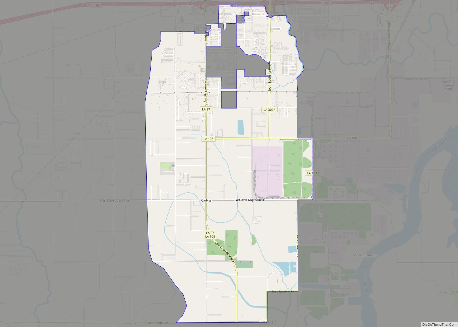
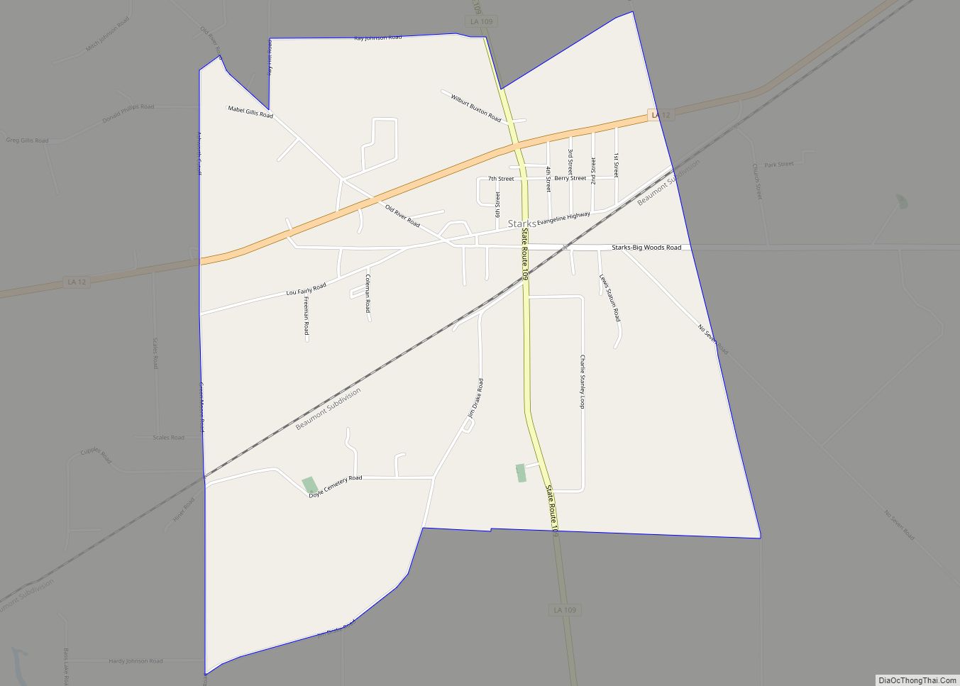
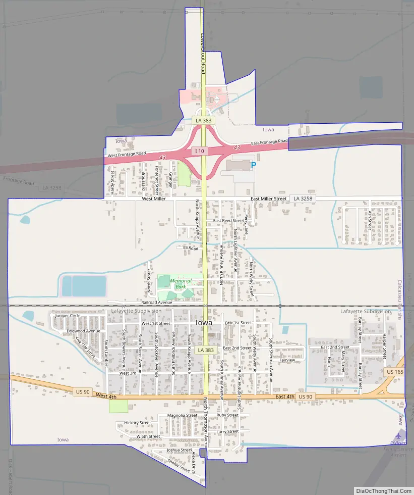
Iowa Road Map
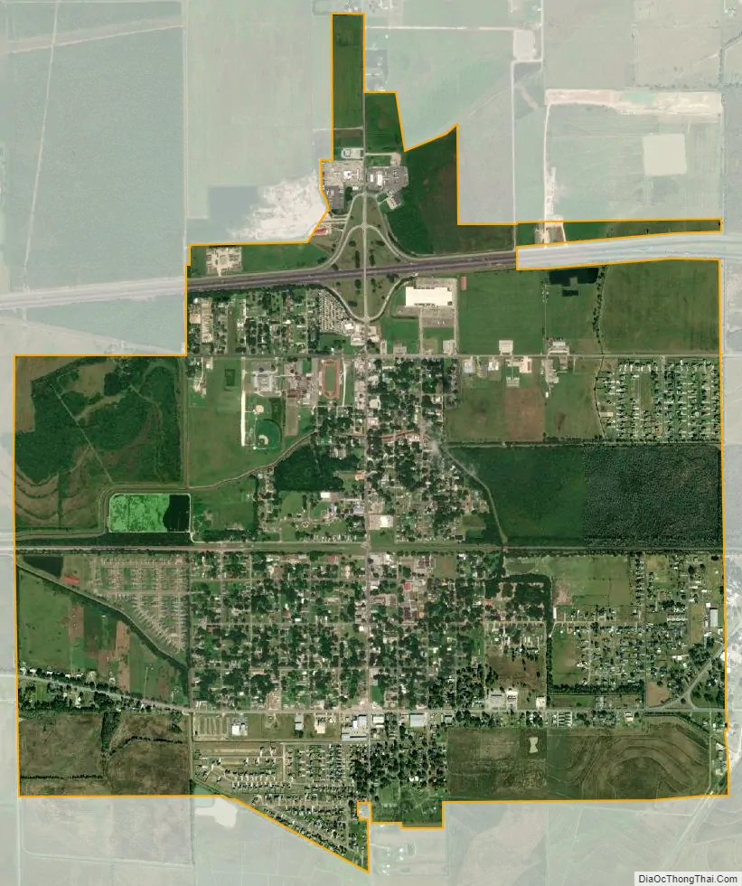
Iowa city Satellite Map
Geography
Iowa is located along the eastern edge of Calcasieu Parish at 30°14′15″N 93°0′51″W / 30.23750°N 93.01417°W / 30.23750; -93.01417 (30.237433, -93.014191). The eastern border of the town is the Jefferson Davis Parish line.
According to the United States Census Bureau, the town of Iowa has a total area of 3.17 square miles (8.22 km), of which 3.15 square miles (8.15 km) is land and 0.03 square miles (0.07 km), or 0.80%, is water.
See also
Map of Louisiana State and its subdivision:- Acadia
- Allen
- Ascension
- Assumption
- Avoyelles
- Beauregard
- Bienville
- Bossier
- Caddo
- Calcasieu
- Caldwell
- Cameron
- Catahoula
- Claiborne
- Concordia
- De Soto
- East Baton Rouge
- East Carroll
- East Feliciana
- Evangeline
- Franklin
- Grant
- Iberia
- Iberville
- Jackson
- Jefferson
- Jefferson Davis
- La Salle
- Lafayette
- Lafourche
- Lincoln
- Livingston
- Madison
- Morehouse
- Natchitoches
- Orleans
- Ouachita
- Plaquemines
- Pointe Coupee
- Rapides
- Red River
- Richland
- Sabine
- Saint Bernard
- Saint Charles
- Saint Helena
- Saint James
- Saint John the Baptist
- Saint Landry
- Saint Martin
- Saint Mary
- Saint Tammany
- Tangipahoa
- Tensas
- Terrebonne
- Union
- Vermilion
- Vernon
- Washington
- Webster
- West Baton Rouge
- West Carroll
- West Feliciana
- Winn
- Alabama
- Alaska
- Arizona
- Arkansas
- California
- Colorado
- Connecticut
- Delaware
- District of Columbia
- Florida
- Georgia
- Hawaii
- Idaho
- Illinois
- Indiana
- Iowa
- Kansas
- Kentucky
- Louisiana
- Maine
- Maryland
- Massachusetts
- Michigan
- Minnesota
- Mississippi
- Missouri
- Montana
- Nebraska
- Nevada
- New Hampshire
- New Jersey
- New Mexico
- New York
- North Carolina
- North Dakota
- Ohio
- Oklahoma
- Oregon
- Pennsylvania
- Rhode Island
- South Carolina
- South Dakota
- Tennessee
- Texas
- Utah
- Vermont
- Virginia
- Washington
- West Virginia
- Wisconsin
- Wyoming