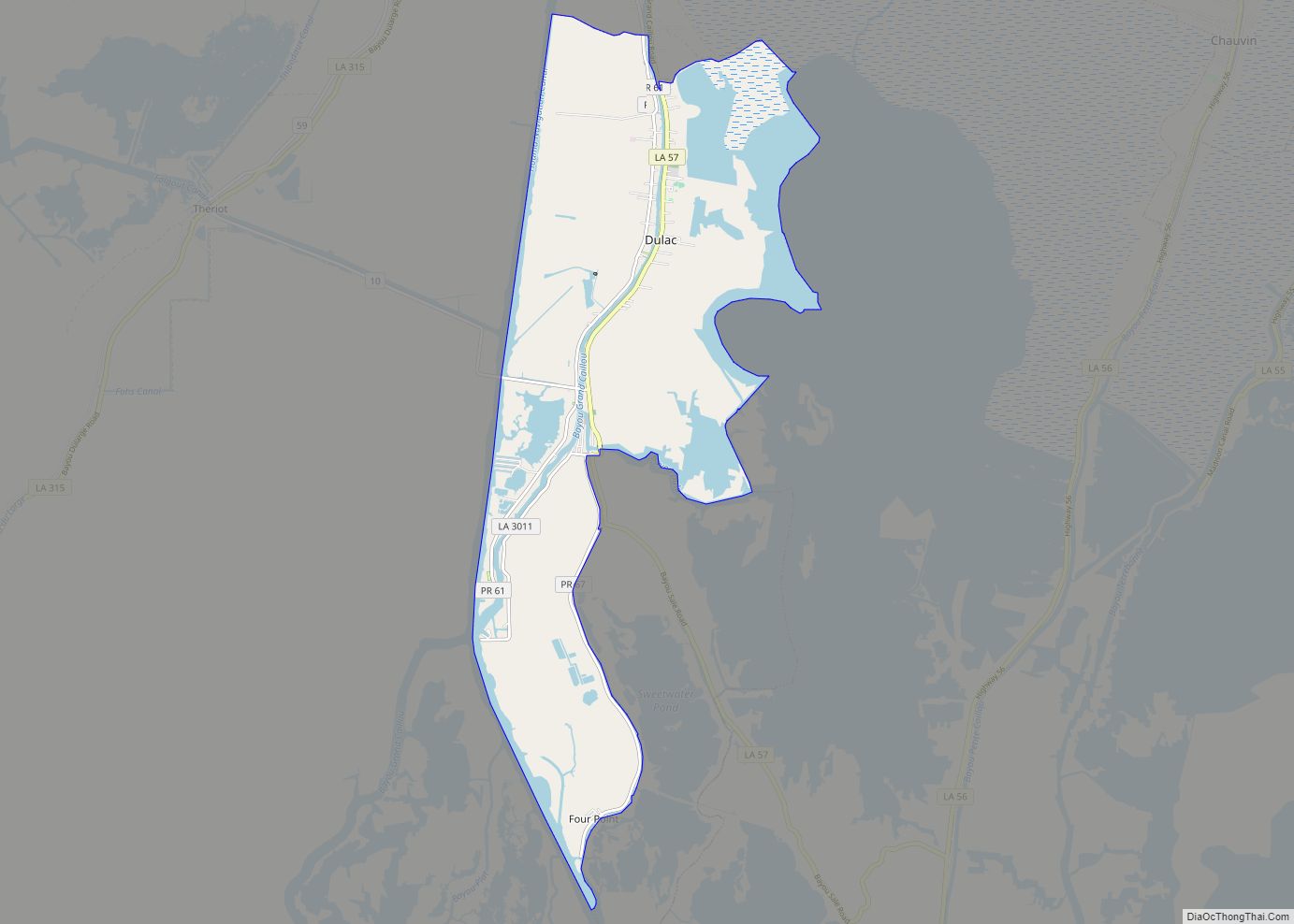
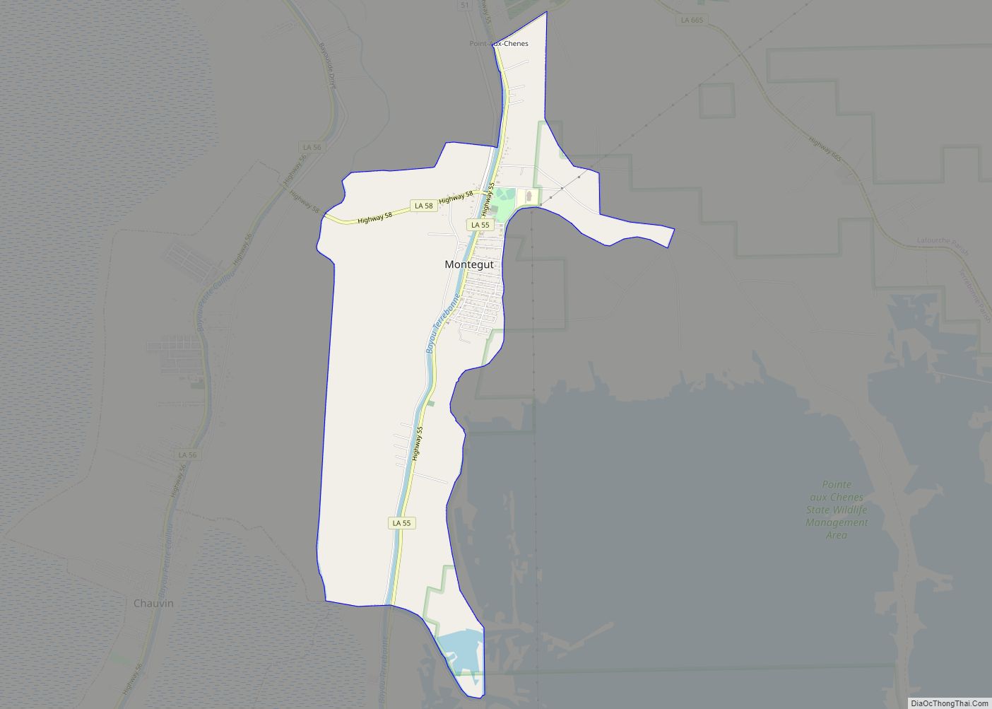
Montegut is a census-designated place (CDP) in Terrebonne Parish, Louisiana, United States. The population was 1,540 at the 2010 census. It is part of the Houma–Bayou Cane–Thibodaux metropolitan statistical area. It was the primary filming location for the 2012 film Beasts of the Southern Wild.
| Name: | Montegut CDP |
|---|---|
| LSAD Code: | 57 |
| LSAD Description: | CDP (suffix) |
| State: | Louisiana |
| County: | Terrebonne Parish |
| Elevation: | 7 ft (2 m) |
| Total Area: | 4.52 sq mi (11.70 km²) |
| Land Area: | 4.21 sq mi (10.90 km²) |
| Water Area: | 0.31 sq mi (0.80 km²) |
| Total Population: | 1,465 |
| Population Density: | 348.15/sq mi (134.43/km²) |
| Area code: | 985 |
| FIPS code: | 2251550 |
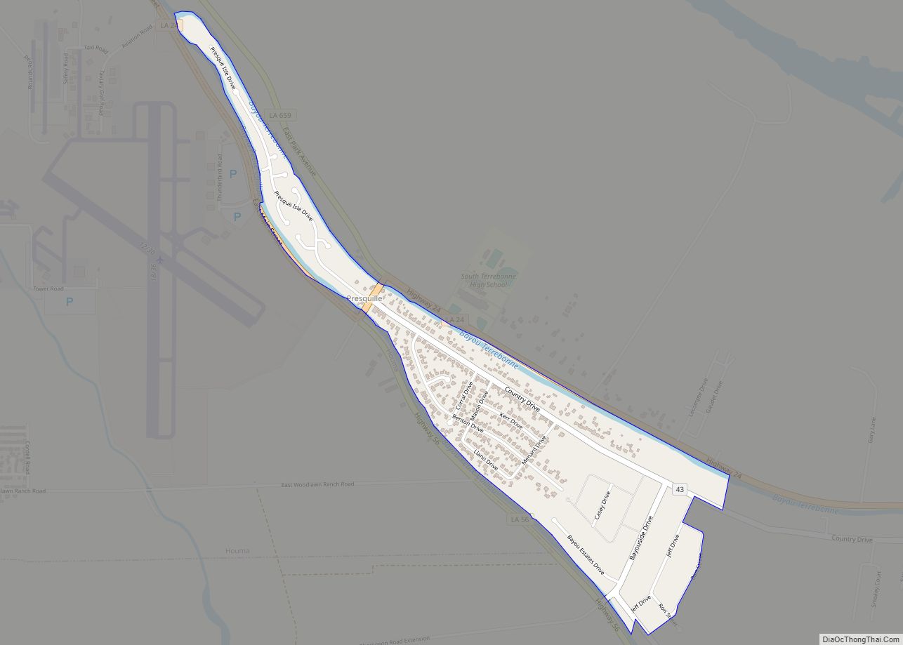
Online Interactive Map
Click on ![]() to view map in "full screen" mode.
to view map in "full screen" mode.
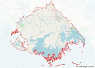
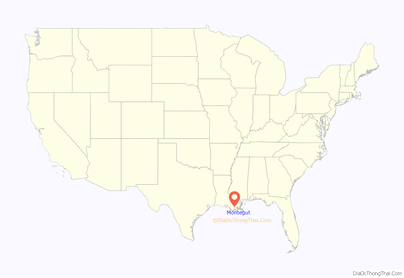
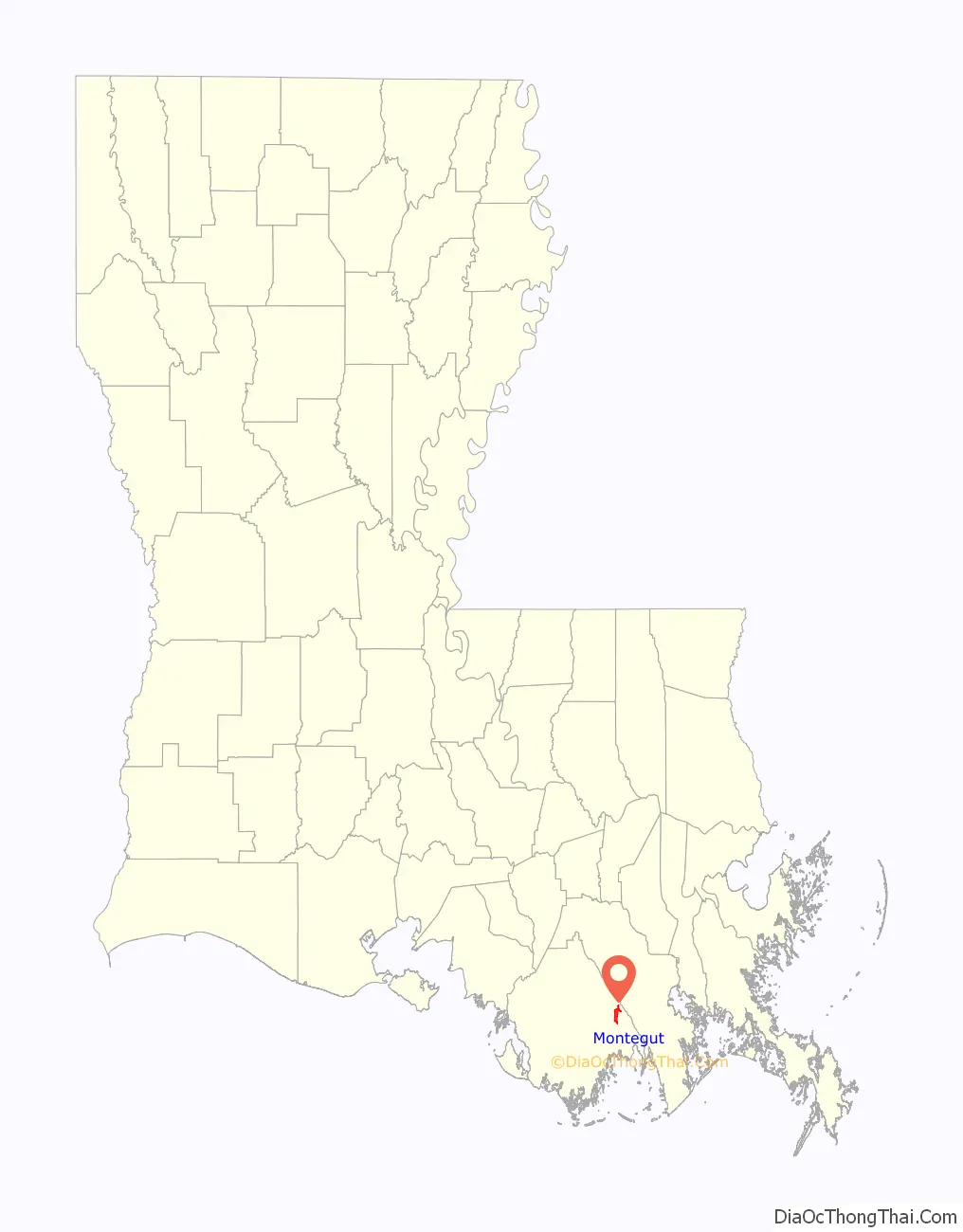
Montegut location map. Where is Montegut CDP?
History
The community developed around a sugar mill founded in 1883. Montegut got its name when a post office was opened in 1885, named after Gabriel Montegut, a prominent resident of Houma, by Congressman Edward James Gay.
The 1941 WPA guide to Louisiana reported an elevation of 8 feet and population of 200.
Montegut Road Map
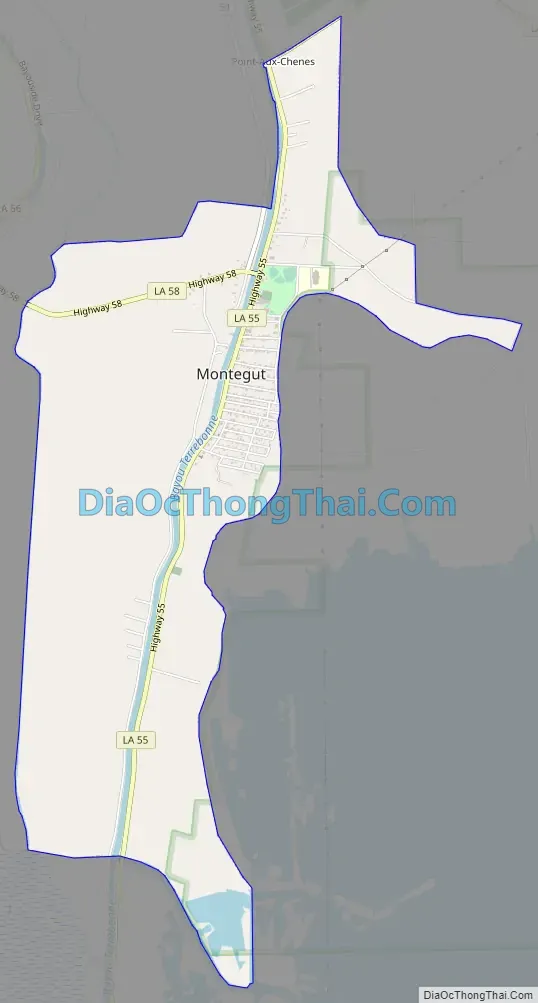
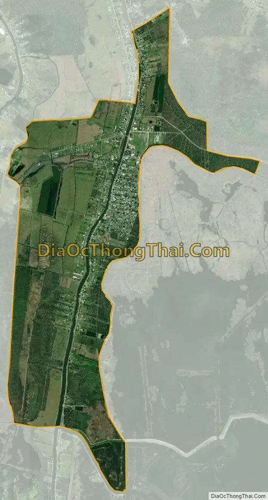
Montegut city Satellite Map
Geography
Montegut is located at 29°28′25″N 90°33′19″W / 29.47361°N 90.55528°W / 29.47361; -90.55528 (29.473700, -90.555381).
According to the United States Census Bureau, the CDP has a total area of 4.5 square miles (11.8 km), of which 4.5 square miles (11.6 km) is land and 0.1 square mile (0.2 km) (1.54%) is water.
See also
Map of Louisiana State and its subdivision:- Acadia
- Allen
- Ascension
- Assumption
- Avoyelles
- Beauregard
- Bienville
- Bossier
- Caddo
- Calcasieu
- Caldwell
- Cameron
- Catahoula
- Claiborne
- Concordia
- De Soto
- East Baton Rouge
- East Carroll
- East Feliciana
- Evangeline
- Franklin
- Grant
- Iberia
- Iberville
- Jackson
- Jefferson
- Jefferson Davis
- La Salle
- Lafayette
- Lafourche
- Lincoln
- Livingston
- Madison
- Morehouse
- Natchitoches
- Orleans
- Ouachita
- Plaquemines
- Pointe Coupee
- Rapides
- Red River
- Richland
- Sabine
- Saint Bernard
- Saint Charles
- Saint Helena
- Saint James
- Saint John the Baptist
- Saint Landry
- Saint Martin
- Saint Mary
- Saint Tammany
- Tangipahoa
- Tensas
- Terrebonne
- Union
- Vermilion
- Vernon
- Washington
- Webster
- West Baton Rouge
- West Carroll
- West Feliciana
- Winn
- Alabama
- Alaska
- Arizona
- Arkansas
- California
- Colorado
- Connecticut
- Delaware
- District of Columbia
- Florida
- Georgia
- Hawaii
- Idaho
- Illinois
- Indiana
- Iowa
- Kansas
- Kentucky
- Louisiana
- Maine
- Maryland
- Massachusetts
- Michigan
- Minnesota
- Mississippi
- Missouri
- Montana
- Nebraska
- Nevada
- New Hampshire
- New Jersey
- New Mexico
- New York
- North Carolina
- North Dakota
- Ohio
- Oklahoma
- Oregon
- Pennsylvania
- Rhode Island
- South Carolina
- South Dakota
- Tennessee
- Texas
- Utah
- Vermont
- Virginia
- Washington
- West Virginia
- Wisconsin
- Wyoming