Prien is an unincorporated community and census-designated place (CDP) in Calcasieu Parish, Louisiana, United States. The population was 7,810 at the 2010 census. It is part of the Lake Charles metropolitan statistical area. Some of the area has been annexed into the city of Lake Charles.
| Name: | Prien CDP |
|---|---|
| LSAD Code: | 57 |
| LSAD Description: | CDP (suffix) |
| State: | Louisiana |
| County: | Calcasieu Parish |
| Elevation: | 13 ft (4 m) |
| Total Area: | 5.98 sq mi (15.48 km²) |
| Land Area: | 5.34 sq mi (13.84 km²) |
| Water Area: | 0.63 sq mi (1.64 km²) |
| Total Population: | 7,745 |
| Population Density: | 1,449.29/sq mi (559.62/km²) |
| Area code: | 337 |
| FIPS code: | 2262647 |
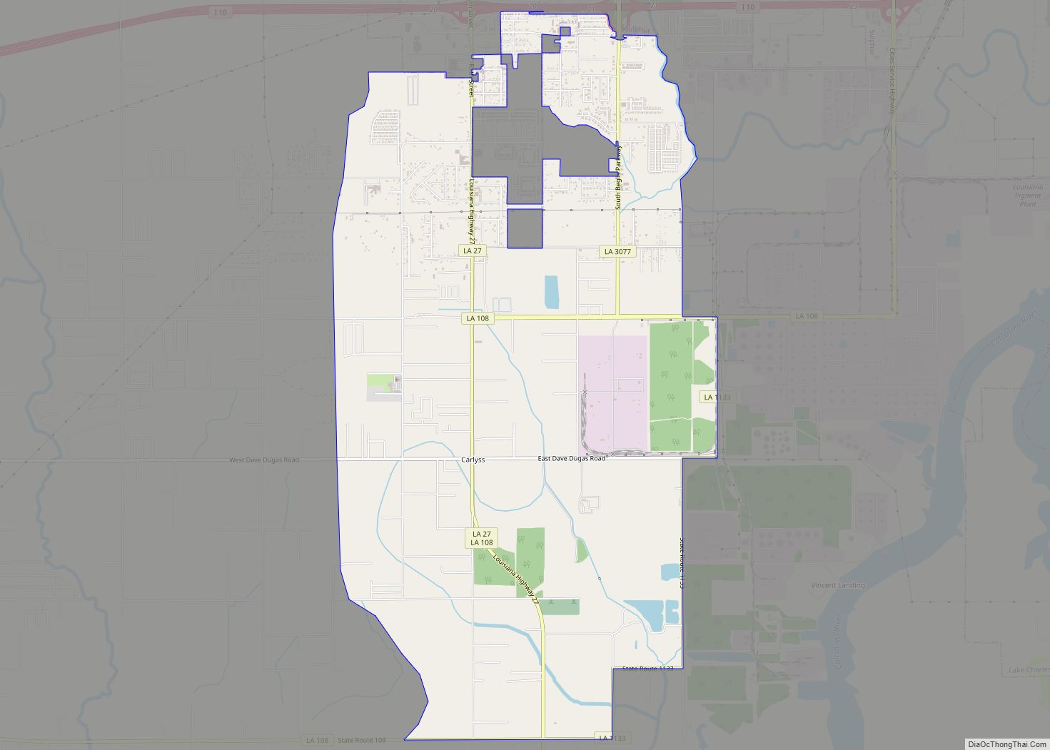
Online Interactive Map
Click on ![]() to view map in "full screen" mode.
to view map in "full screen" mode.
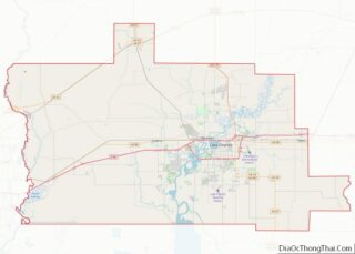
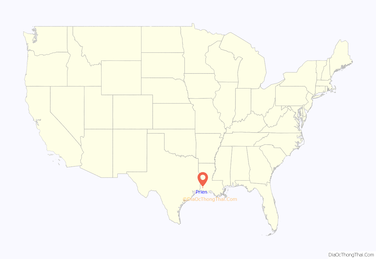
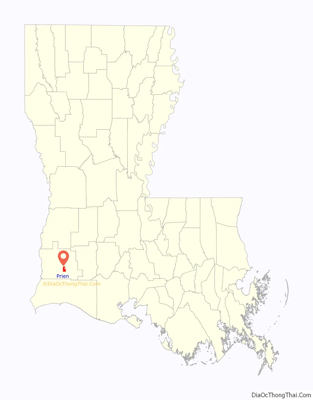
Prien location map. Where is Prien CDP?
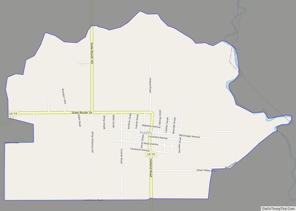
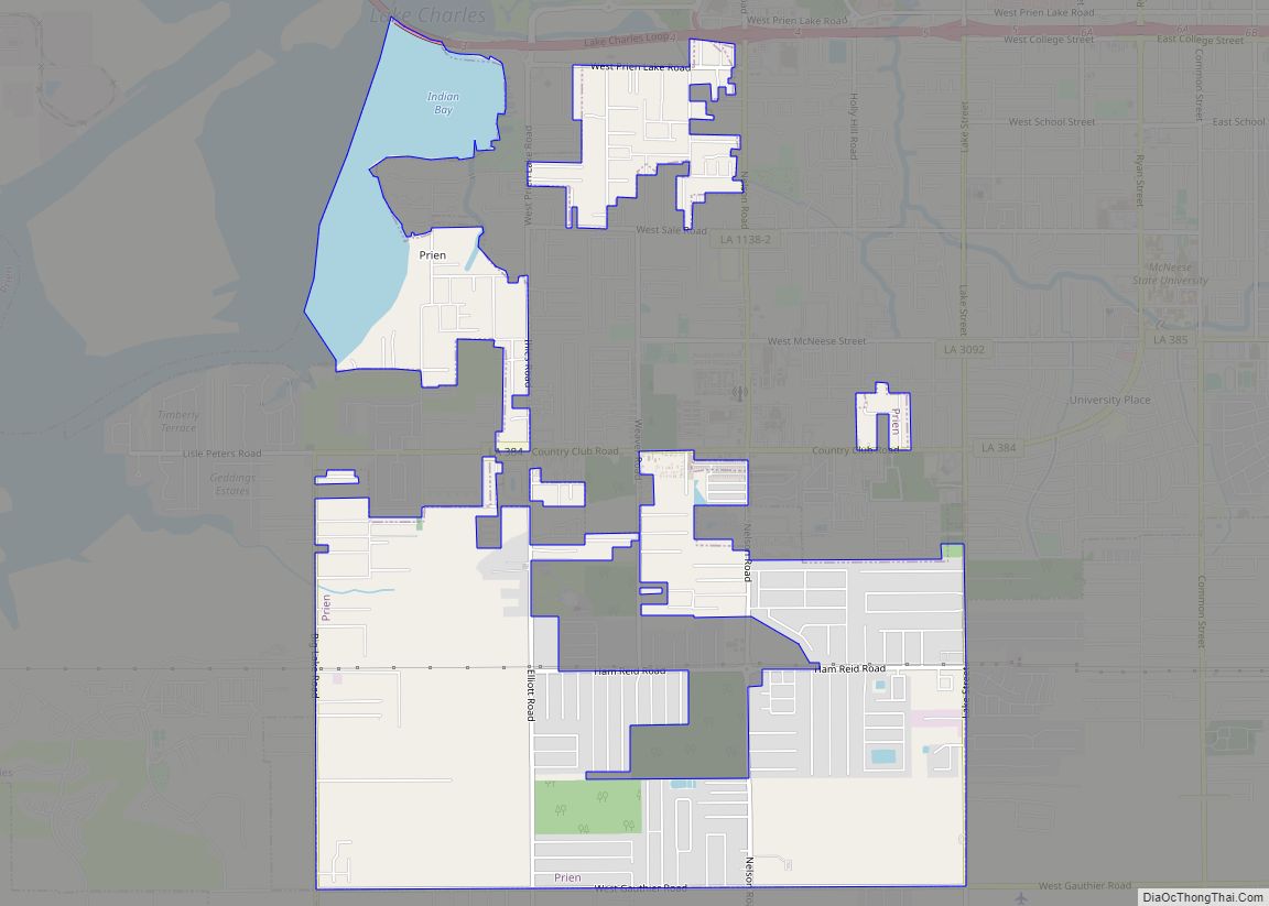
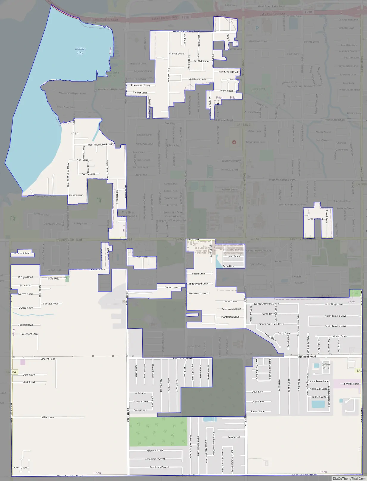
Prien Road Map
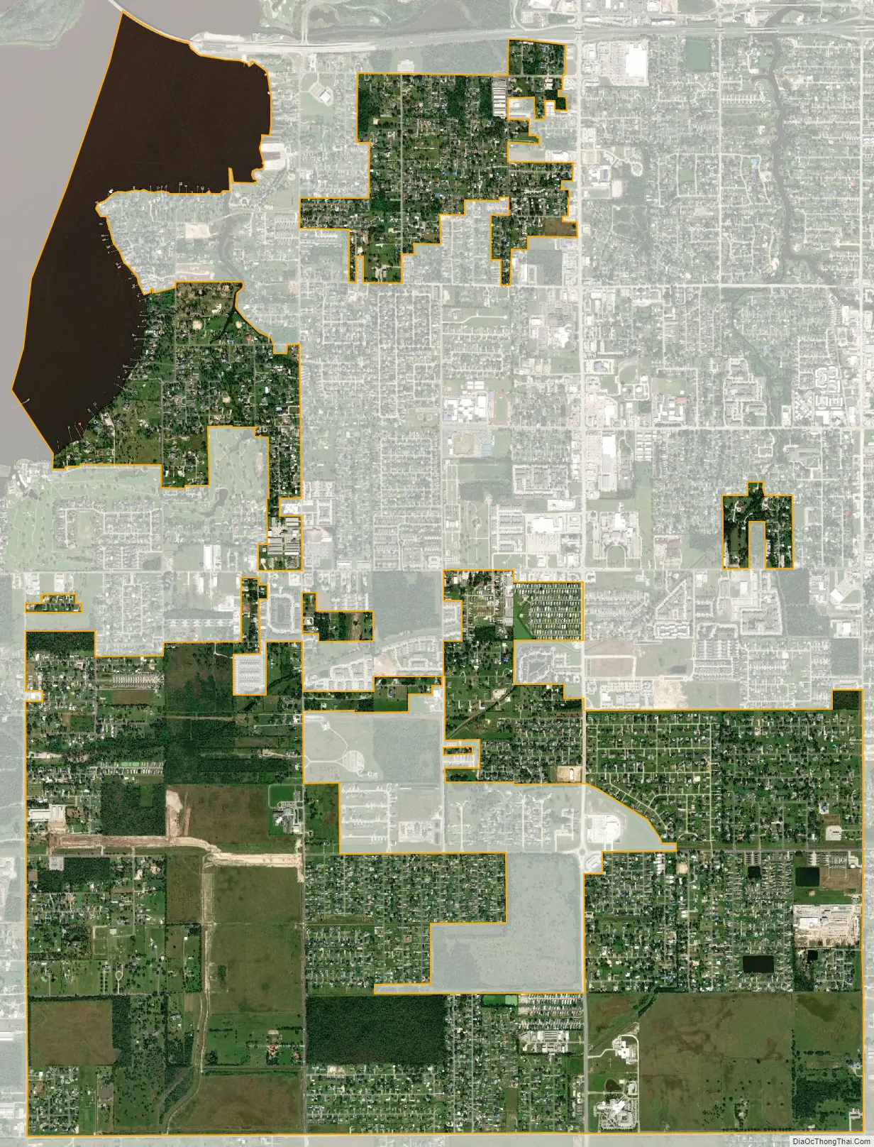
Prien city Satellite Map
Geography
Prien is located at 30°10′18″N 93°16′3″W / 30.17167°N 93.26750°W / 30.17167; -93.26750 (30.171700, -93.267384) and consists of unincorporated land on the south side of Lake Charles. The original community of Prien is located on the southeast shore of Prien Lake, a widening in the Calcasieu River, but the CDP now extends south as far as West Gauthier Road.
According to the United States Census Bureau, the CDP has a total area of 6.6 square miles (17.2 km), of which 6.0 square miles (15.6 km) is land and 0.62 square miles (1.6 km), or 9.32%, is water. The area of the CDP has decreased by 1.3 square miles (3.4 km) since the 2000 census, due to annexation of certain neighborhoods by the city of Lake Charles.
See also
Map of Louisiana State and its subdivision:- Acadia
- Allen
- Ascension
- Assumption
- Avoyelles
- Beauregard
- Bienville
- Bossier
- Caddo
- Calcasieu
- Caldwell
- Cameron
- Catahoula
- Claiborne
- Concordia
- De Soto
- East Baton Rouge
- East Carroll
- East Feliciana
- Evangeline
- Franklin
- Grant
- Iberia
- Iberville
- Jackson
- Jefferson
- Jefferson Davis
- La Salle
- Lafayette
- Lafourche
- Lincoln
- Livingston
- Madison
- Morehouse
- Natchitoches
- Orleans
- Ouachita
- Plaquemines
- Pointe Coupee
- Rapides
- Red River
- Richland
- Sabine
- Saint Bernard
- Saint Charles
- Saint Helena
- Saint James
- Saint John the Baptist
- Saint Landry
- Saint Martin
- Saint Mary
- Saint Tammany
- Tangipahoa
- Tensas
- Terrebonne
- Union
- Vermilion
- Vernon
- Washington
- Webster
- West Baton Rouge
- West Carroll
- West Feliciana
- Winn
- Alabama
- Alaska
- Arizona
- Arkansas
- California
- Colorado
- Connecticut
- Delaware
- District of Columbia
- Florida
- Georgia
- Hawaii
- Idaho
- Illinois
- Indiana
- Iowa
- Kansas
- Kentucky
- Louisiana
- Maine
- Maryland
- Massachusetts
- Michigan
- Minnesota
- Mississippi
- Missouri
- Montana
- Nebraska
- Nevada
- New Hampshire
- New Jersey
- New Mexico
- New York
- North Carolina
- North Dakota
- Ohio
- Oklahoma
- Oregon
- Pennsylvania
- Rhode Island
- South Carolina
- South Dakota
- Tennessee
- Texas
- Utah
- Vermont
- Virginia
- Washington
- West Virginia
- Wisconsin
- Wyoming