Clinton is a city in Hinds County, Mississippi, United States. Situated in the Jackson metropolitan area, it is the tenth largest city in Mississippi. The population was 28,100 at the 2020 United States census.
| Name: | Clinton city |
|---|---|
| LSAD Code: | 25 |
| LSAD Description: | city (suffix) |
| State: | Mississippi |
| County: | Hinds County |
| Founded: | 1823 |
| Elevation: | 358 ft (109 m) |
| Total Area: | 42.14 sq mi (109.15 km²) |
| Land Area: | 41.87 sq mi (108.44 km²) |
| Water Area: | 0.28 sq mi (0.71 km²) |
| Total Population: | 28,100 |
| Population Density: | 671.16/sq mi (259.13/km²) |
| ZIP code: | 39056, 39058, 39060 (P.O. boxes) |
| FIPS code: | 2814420 |
| GNISfeature ID: | 668609 |
| Website: | www.clintonms.org |
Online Interactive Map
Click on ![]() to view map in "full screen" mode.
to view map in "full screen" mode.
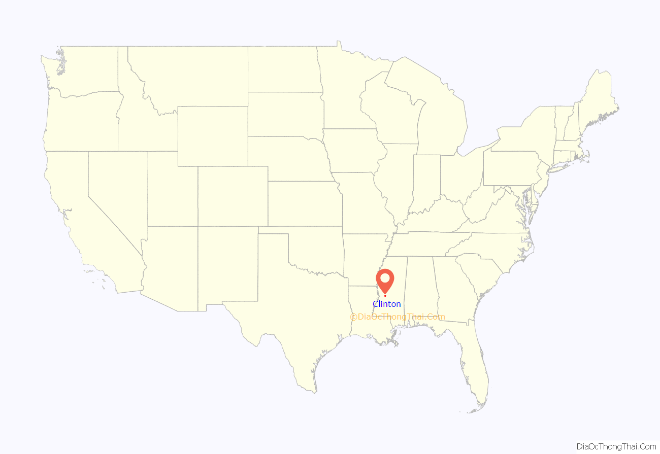
Clinton location map. Where is Clinton city?
History
Founded in 1823, Clinton was originally known as Mt. Salus, which means “Mountain of health”. It was named for the plantation home of Walter Leake, third governor of Mississippi, which was located in Clinton and built in 1812. The road east from Vicksburg was completed to Mount Salus and the federal government located the district land office at Mount Salus in 1822. The original federal survey in 1822 references a spring called “Swafford’s Spring” at the site of the town. In 1828, the city changed its name to Clinton in honor of DeWitt Clinton, the former governor of New York who led completion of the Erie Canal.
The first road through Mount Salus/Clinton was the Natchez Trace, improved from a centuries-old Native American path. Currently Clinton has three major highways that pass through the city: the Natchez Trace Parkway, U.S. Route 80, and Interstate 20.
Mississippi College, a Christian university located in Clinton, is the oldest college in the state of Mississippi. It was founded January 24, 1826, as Hampstead Academy, the second male college in the state after Jefferson College. Mississippi College is the second oldest Baptist university in the world, and was the first coeducational college in the United States to grant a degree to a woman. Clinton is home to sports teams known as the “Clinton Arrows” and “Mississippi College Choctaws”. Hillman College, originally for women, was founded in 1853 as Central Female Institute, supported by the Central Baptist Association. It changed its name in 1891. Mount Hermon Female Seminary, a historically black college, was established in 1875 by Sarah Ann Dickey. It closed in 1924 as students moved to co-educational institutions.
The Clinton-Vicksburg Railroad was the second oldest in the state, incorporated in 1831. It contributed to the export of 20,000 bales of cotton annually from this city, the most of any city between Vicksburg and Meridian. Cotton from three surrounding counties was shipped through Clinton and by rail to Grand Gulf on the Mississippi.
During the Civil War, Confederate forces, as well as Union troops— the latter commanded by generals Ulysses S. Grant and Sherman—briefly occupied Clinton on their way to the Battle of Vicksburg in May 1863. Grant had mistakenly believed that John C. Pemberton, a Confederate general, would attack him at Clinton. Grant finally took Vicksburg in this campaign.
Clinton Riot
In September 1875 during the election campaign, a Republican political rally was held in downtown Clinton, where 3,000 people were gathered expecting Governor Adelbert Ames and other prominent speakers. White insurgents disrupted the rally, attacking blacks in what was called the “Clinton Riot.” It resulted in the deaths of several white men and an estimated 50 blacks later that night and over the next few days. More armed whites arrived by train and attacked blacks. Among the black victims were schoolteachers, church leaders, and local Republican organizers.
Whites had been attacking black and white Republicans in every election cycle, and that year the paramilitary Red Shirts arose in the state as a force to intimidate blacks and suppress black voting. The governor appealed to the federal government for protection and the U.S. government sent more troops. But election-related violence continued through the fall and, together with fraud at the polls, resulted in white Democrats regaining control of the state legislature and, in 1876, the governor’s seat. This political shift signaled the end of the Reconstruction era, confirmed when the federal government withdrew remaining troops in 1877.
20th century to present
During World War II, Camp Clinton was established as a German POW camp south of town; it housed about 3,000 German soldiers. Most of the prisoners were from the Afrika Korps. Of the 40 German generals captured in the war, Camp Clinton housed 35 of them. The German soldiers provided the labor to build a replica model of the Mississippi River Basin for the U.S. Army Corps of Engineers, used for planning and designing flood prevention.
Clinton, the smallest city to ever host a Fortune 500 company, was the headquarters for WorldCom from the mid-1990s until 2002. WorldCom went bankrupt due to what was at the time the largest accounting scandal in U.S. history. The financial dealings resulted in fraud-related convictions of Bernard Ebbers, CEO, and Scott Sullivan, CFO. The company changed its name to MCI and moved its corporate headquarters location to Ashburn, Virginia. Verizon, MCI’s successor, owns SkyTel (no relation to Bell Mobility’s Skytel brand). It still occupies the massive former WorldCom compound in Clinton.
On April 15, 2011, an EF3 tornado struck the city at about 11:00 am. CDT. It produced damage near Interstate 20, which included total destruction to the BankPlus building. Malaco Records was destroyed as well. Ten people were injured by the tornado.
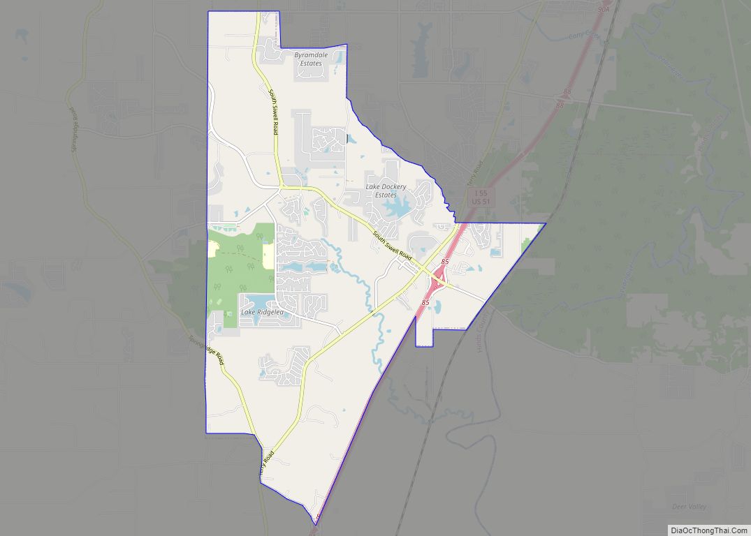
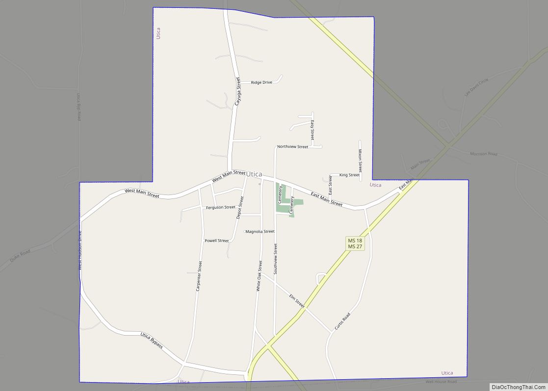
Clinton Road Map
Clinton city Satellite Map
Geography
According to the 2010 United States census, the city has a total area of 42.147 square miles (109.16 km), of which 41.822 square miles (108.32 km) is land and 0.325 square miles (0.84 km) is water.
See also
Map of Mississippi State and its subdivision:- Adams
- Alcorn
- Amite
- Attala
- Benton
- Bolivar
- Calhoun
- Carroll
- Chickasaw
- Choctaw
- Claiborne
- Clarke
- Clay
- Coahoma
- Copiah
- Covington
- Desoto
- Forrest
- Franklin
- George
- Greene
- Grenada
- Hancock
- Harrison
- Hinds
- Holmes
- Humphreys
- Issaquena
- Itawamba
- Jackson
- Jasper
- Jefferson
- Jefferson Davis
- Jones
- Kemper
- Lafayette
- Lamar
- Lauderdale
- Lawrence
- Leake
- Lee
- Leflore
- Lincoln
- Lowndes
- Madison
- Marion
- Marshall
- Monroe
- Montgomery
- Neshoba
- Newton
- Noxubee
- Oktibbeha
- Panola
- Pearl River
- Perry
- Pike
- Pontotoc
- Prentiss
- Quitman
- Rankin
- Scott
- Sharkey
- Simpson
- Smith
- Stone
- Sunflower
- Tallahatchie
- Tate
- Tippah
- Tishomingo
- Tunica
- Union
- Walthall
- Warren
- Washington
- Wayne
- Webster
- Wilkinson
- Winston
- Yalobusha
- Yazoo
- Alabama
- Alaska
- Arizona
- Arkansas
- California
- Colorado
- Connecticut
- Delaware
- District of Columbia
- Florida
- Georgia
- Hawaii
- Idaho
- Illinois
- Indiana
- Iowa
- Kansas
- Kentucky
- Louisiana
- Maine
- Maryland
- Massachusetts
- Michigan
- Minnesota
- Mississippi
- Missouri
- Montana
- Nebraska
- Nevada
- New Hampshire
- New Jersey
- New Mexico
- New York
- North Carolina
- North Dakota
- Ohio
- Oklahoma
- Oregon
- Pennsylvania
- Rhode Island
- South Carolina
- South Dakota
- Tennessee
- Texas
- Utah
- Vermont
- Virginia
- Washington
- West Virginia
- Wisconsin
- Wyoming
