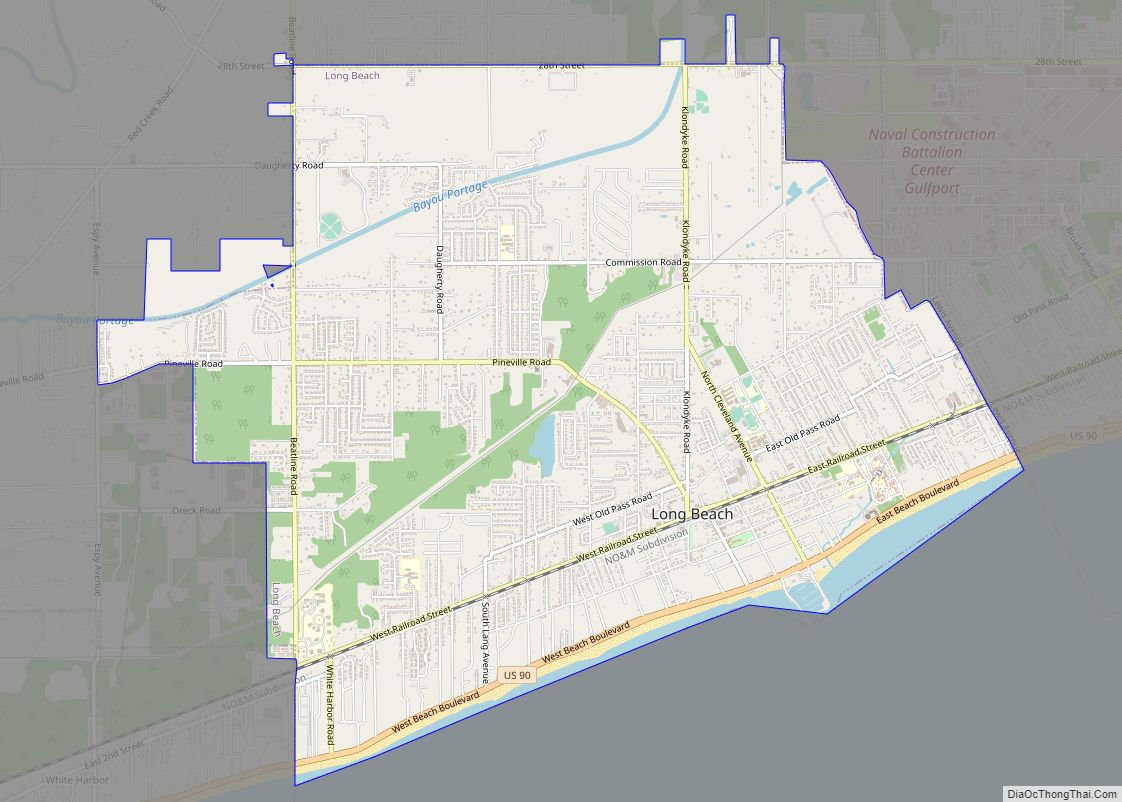
Long Beach is a city located in Harrison County, Mississippi, United States. It is part of the Gulfport-Biloxi metropolitan area. As of the 2020 census, the city had a population of 15,829.
| Name: | Long Beach city |
|---|---|
| LSAD Code: | 25 |
| LSAD Description: | city (suffix) |
| State: | Mississippi |
| County: | Harrison County |
| Elevation: | 26 ft (8 m) |
| Total Area: | 13.99 sq mi (36.23 km²) |
| Land Area: | 10.24 sq mi (26.53 km²) |
| Water Area: | 3.75 sq mi (9.70 km²) |
| Total Population: | 16,780 |
| Population Density: | 1,638.19/sq mi (632.53/km²) |
| ZIP code: | 39560 |
| Area code: | 228 |
| FIPS code: | 2841680 |
| GNISfeature ID: | 0672794 |
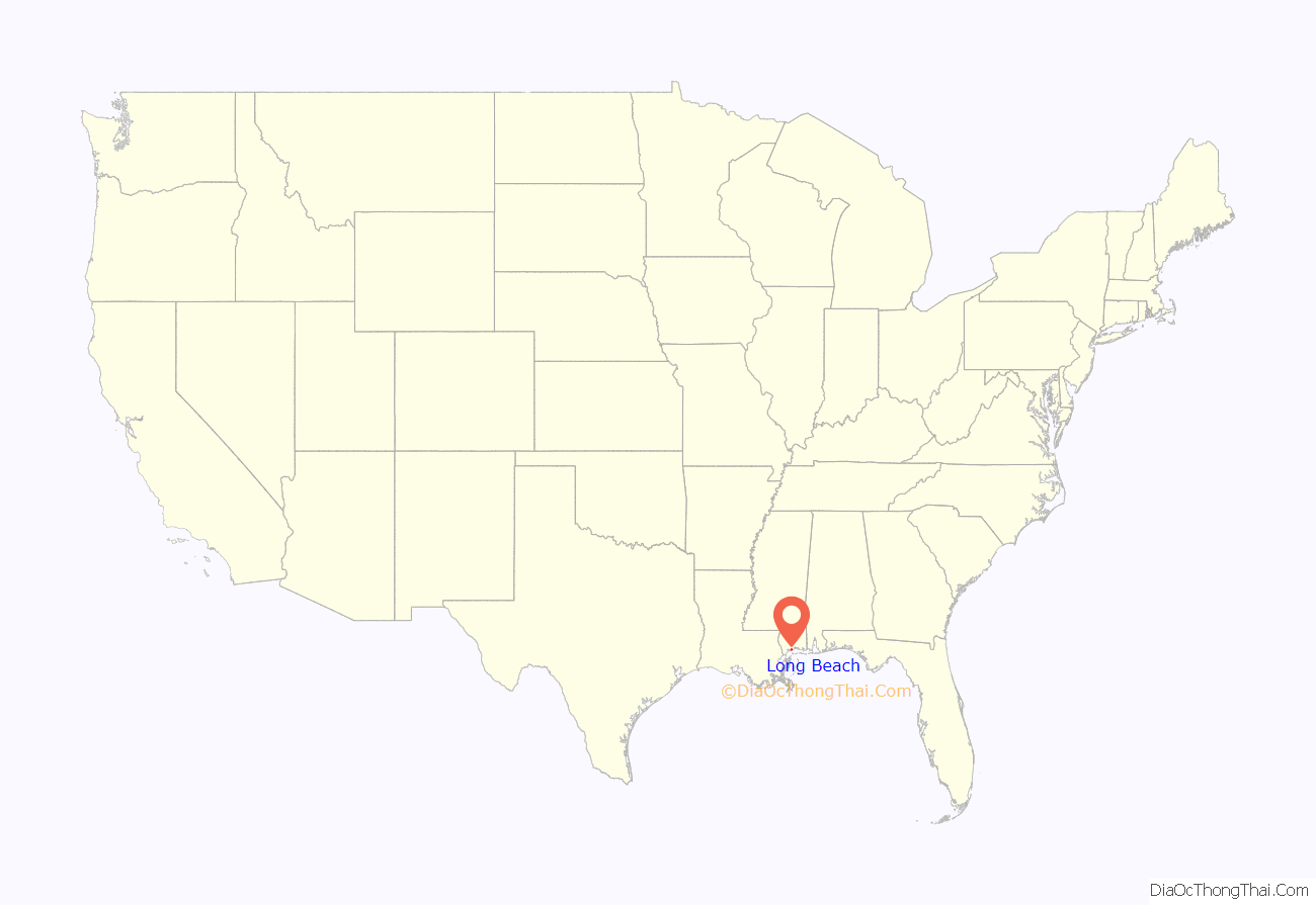
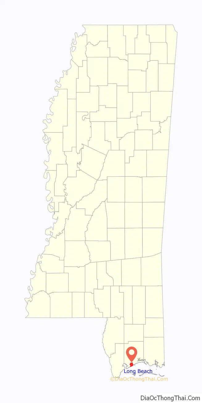
Online Interactive Map
Click on ![]() to view map in "full screen" mode.
to view map in "full screen" mode.
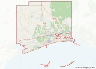
Long Beach location map. Where is Long Beach city?
History
The early 1900s
Long Beach began as an agricultural town, based around its radish industry, but on August 10, 1905, Long Beach incorporated and became another city on the Mississippi Gulf Coast. As the years went on, the city moved from its agricultural heritage and moved toward tourism with the beach becoming increasingly popular.
“The Radish Capital of the World”
Long Beach’s early economy was based largely upon radishes. Logging initially drove the local economy, but when the area’s virgin yellow pine forests became depleted, row crops were planted on the newly cleared land.
A productive truck farming town in the early 20th century, citizens of Long Beach proclaimed the city to be the “Radish Capital of the World”. The city was especially known for its cultivation of the Long Red radish variety, a favorite beer hall staple in the northern US at the time. In 1921, a bumper crop resulted in the shipment of over 300 trainloads of Long Beach’s Long Red radishes to northern states.
Eventually, the Long Red radishes for which Long Beach was known fell into disfavor, and the rise of the common button radish caused a dramatic decline in the cultivation of this crop in the area.
Hurricane Katrina
Hurricane Katrina struck the city on August 29, 2005, destroying almost all buildings within 500 m (1,600 ft) of the Gulf of Mexico shoreline. Many Long Beach residents were left homeless or living in water- and or wind-damaged houses. At least one person was confirmed dead.
The city of Long Beach, California, held a fund raiser to help its eponymous relative. The city of Peoria, Arizona, adopted Long Beach and provided both public and private resources. This resulted in a close relationship between the two communities.
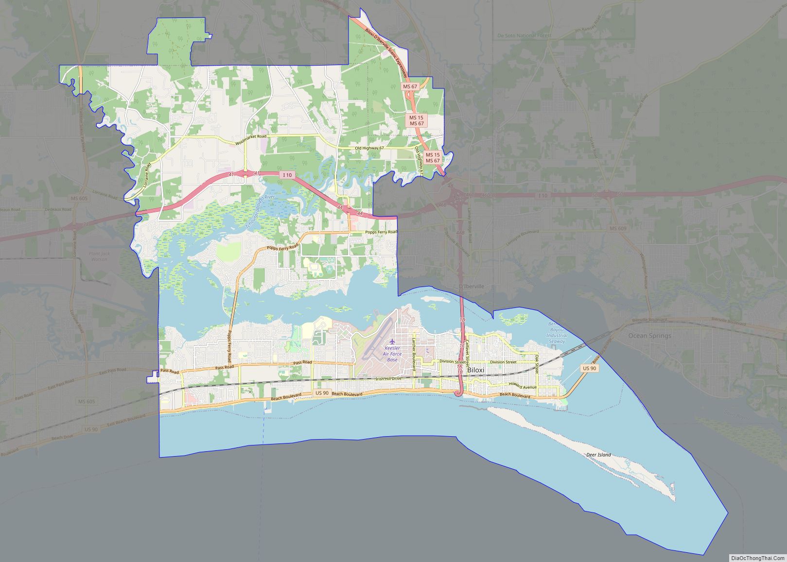
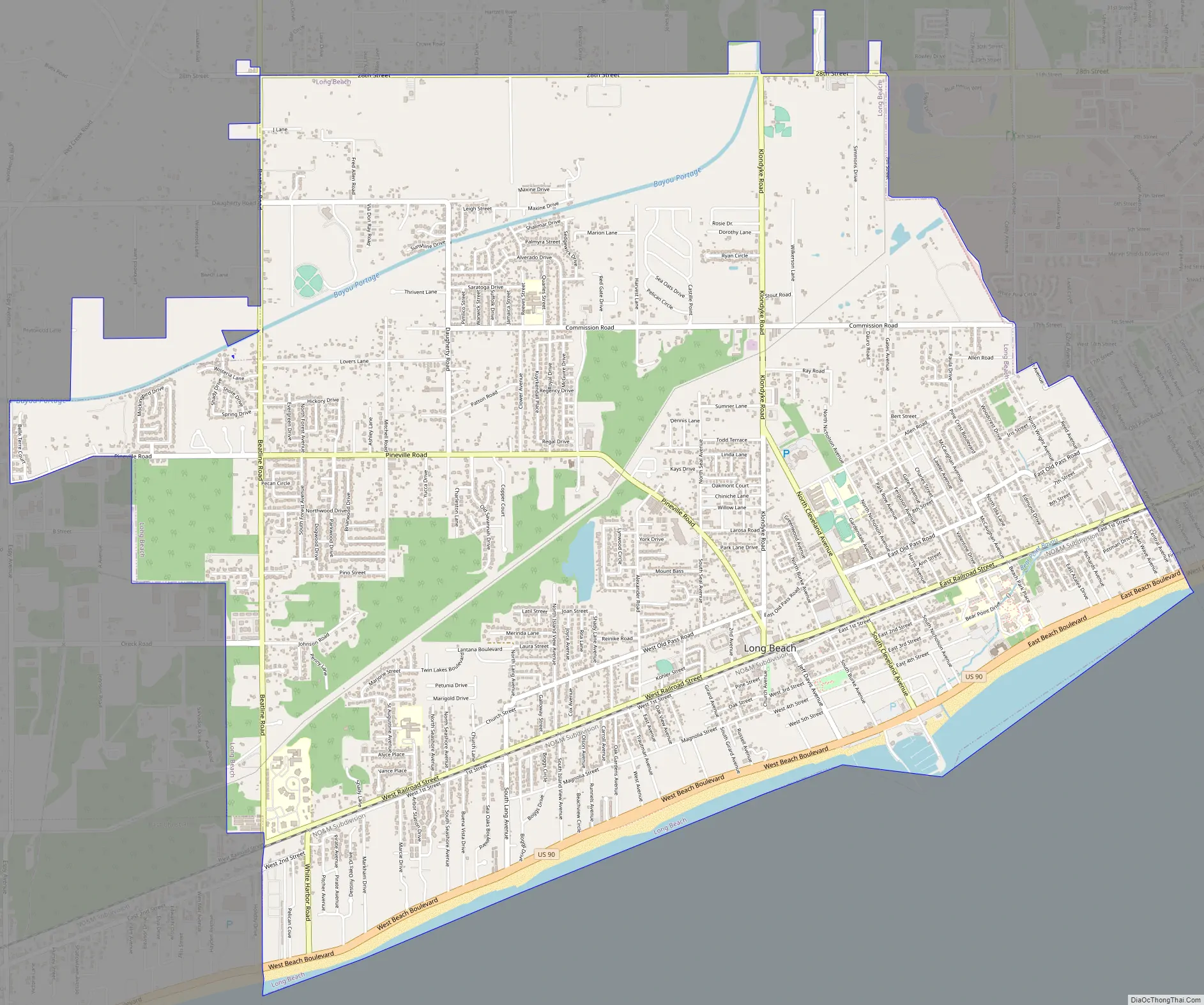
Long Beach Road Map
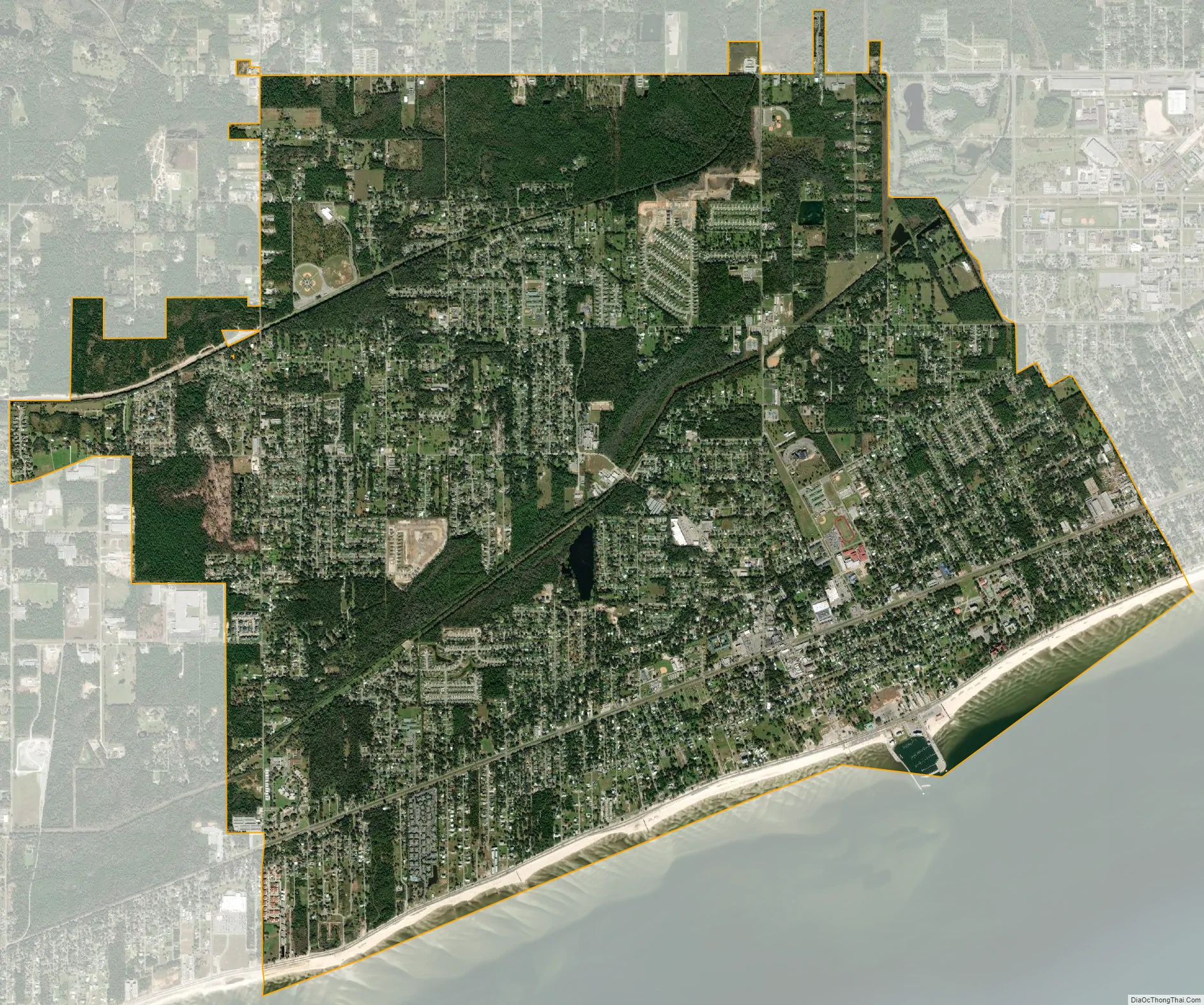
Long Beach city Satellite Map
Geography
According to the United States Census Bureau, the city has a total area of 10.4 square miles (26.9 km), of which 0.39 square miles (1.0 km), or 3.74% is covered by water.
See also
Map of Mississippi State and its subdivision:- Adams
- Alcorn
- Amite
- Attala
- Benton
- Bolivar
- Calhoun
- Carroll
- Chickasaw
- Choctaw
- Claiborne
- Clarke
- Clay
- Coahoma
- Copiah
- Covington
- Desoto
- Forrest
- Franklin
- George
- Greene
- Grenada
- Hancock
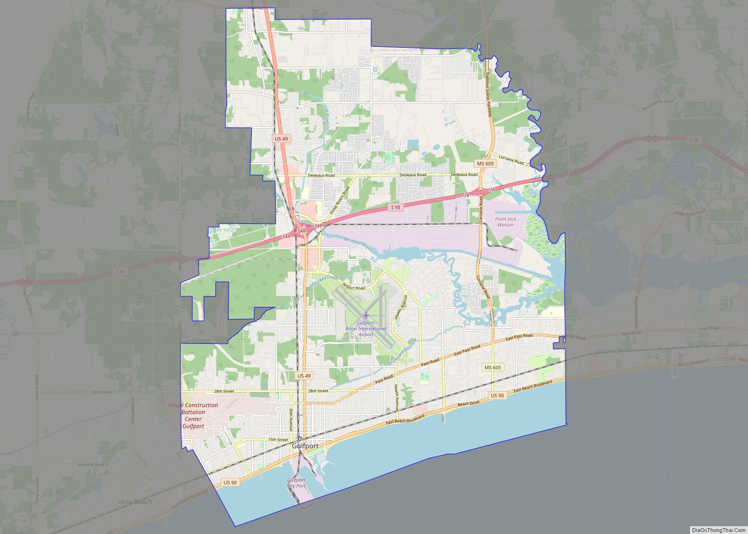
- Harrison
- Hinds
- Holmes
- Humphreys
- Issaquena
- Itawamba
- Jackson
- Jasper
- Jefferson
- Jefferson Davis
- Jones
- Kemper
- Lafayette
- Lamar
- Lauderdale
- Lawrence
- Leake
- Lee
- Leflore
- Lincoln
- Lowndes
- Madison
- Marion
- Marshall
- Monroe
- Montgomery
- Neshoba
- Newton
- Noxubee
- Oktibbeha
- Panola
- Pearl River
- Perry
- Pike
- Pontotoc
- Prentiss
- Quitman
- Rankin
- Scott
- Sharkey
- Simpson
- Smith
- Stone
- Sunflower
- Tallahatchie
- Tate
- Tippah
- Tishomingo
- Tunica
- Union
- Walthall
- Warren
- Washington
- Wayne
- Webster
- Wilkinson
- Winston
- Yalobusha
- Yazoo
- Alabama
- Alaska
- Arizona
- Arkansas
- California
- Colorado
- Connecticut
- Delaware
- District of Columbia
- Florida
- Georgia
- Hawaii
- Idaho
- Illinois
- Indiana
- Iowa
- Kansas
- Kentucky
- Louisiana
- Maine
- Maryland
- Massachusetts
- Michigan
- Minnesota
- Mississippi
- Missouri
- Montana
- Nebraska
- Nevada
- New Hampshire
- New Jersey
- New Mexico
- New York
- North Carolina
- North Dakota
- Ohio
- Oklahoma
- Oregon
- Pennsylvania
- Rhode Island
- South Carolina
- South Dakota
- Tennessee
- Texas
- Utah
- Vermont
- Virginia
- Washington
- West Virginia
- Wisconsin
- Wyoming