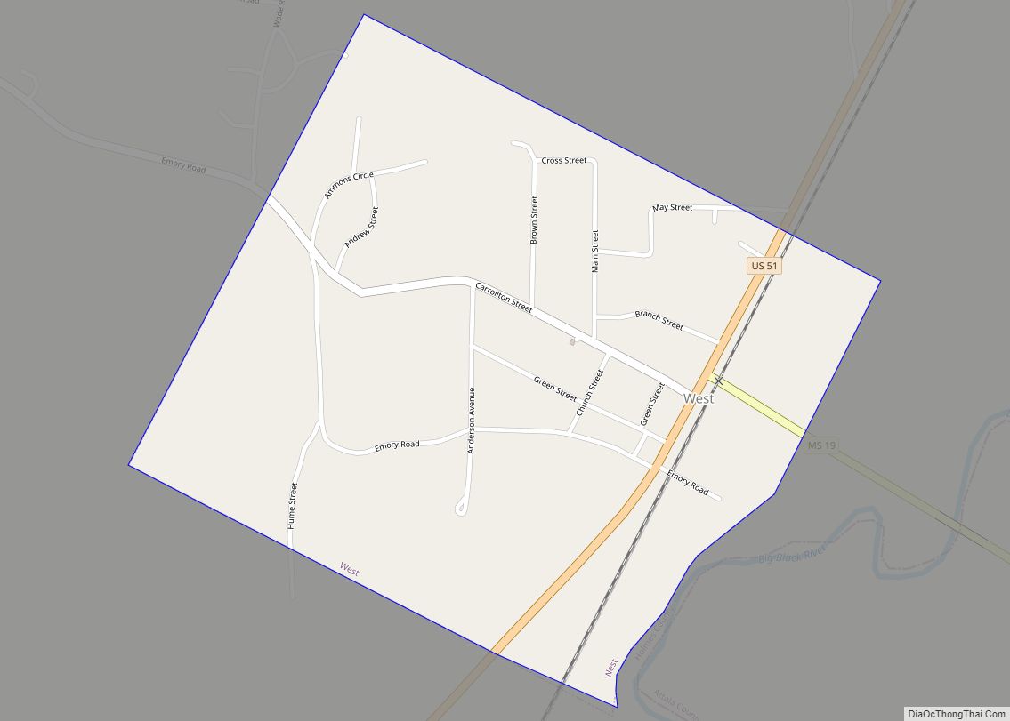
West is a town in northeastern Holmes County, Mississippi, United States. Per the 2020 census, the population was 153. The Mayor of West, MS as of December 2020 is Michael Fancher.
| Name: | West town |
|---|---|
| LSAD Code: | 43 |
| LSAD Description: | town (suffix) |
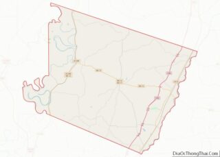
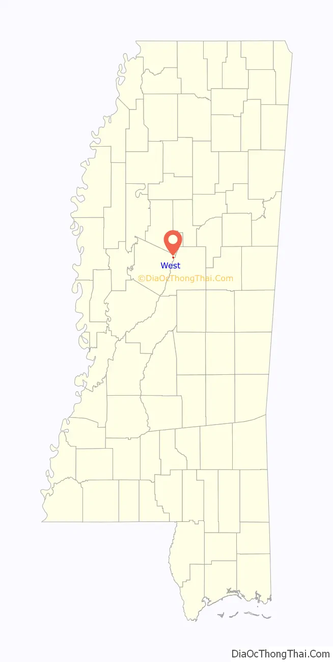
| State: | Mississippi |
| County: | Holmes County |
| Elevation: | 292 ft (89 m) |
| Total Area: | 0.56 sq mi (1.44 km²) |
| Land Area: | 0.56 sq mi (1.44 km²) |
| Water Area: | 0.00 sq mi (0.00 km²) |
| Total Population: | 153 |
| Population Density: | 274.19/sq mi (105.96/km²) |
| ZIP code: | 39192 |
| Area code: | 662 |
| FIPS code: | 2878680 |
| GNISfeature ID: | 679466 |
Online Interactive Map
Click on ![]() to view map in "full screen" mode.
to view map in "full screen" mode.
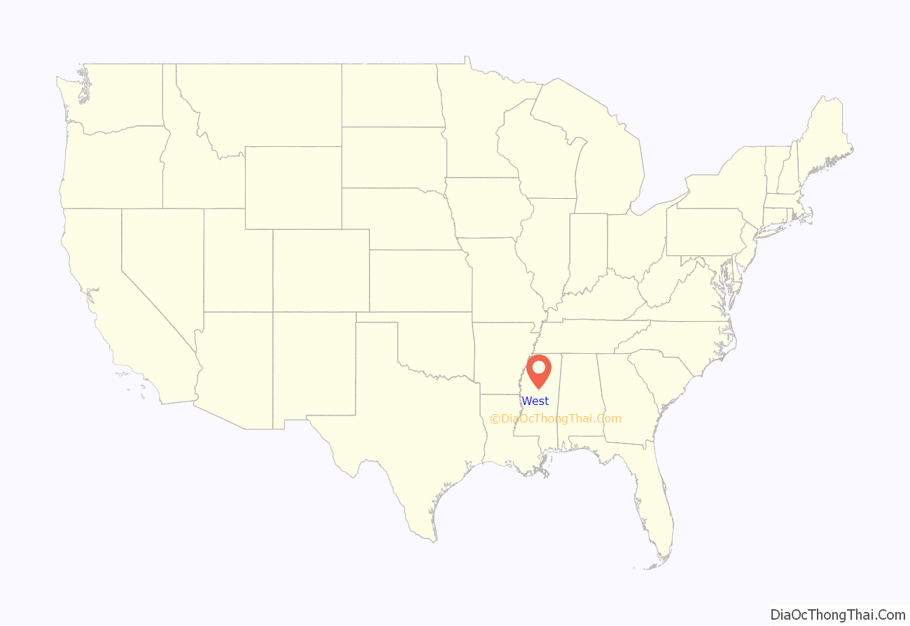
West location map. Where is West town?
History
West made national news in 1989 when all-white East Holmes Academy, now closed but formerly located in West, initially refused to play a football game against Heritage Academy because Heritage had a black player. After seven East Holmes players quit the team, two board members resigned and the Mississippi Private School Association threatened to eject the school, East Holmes relented.
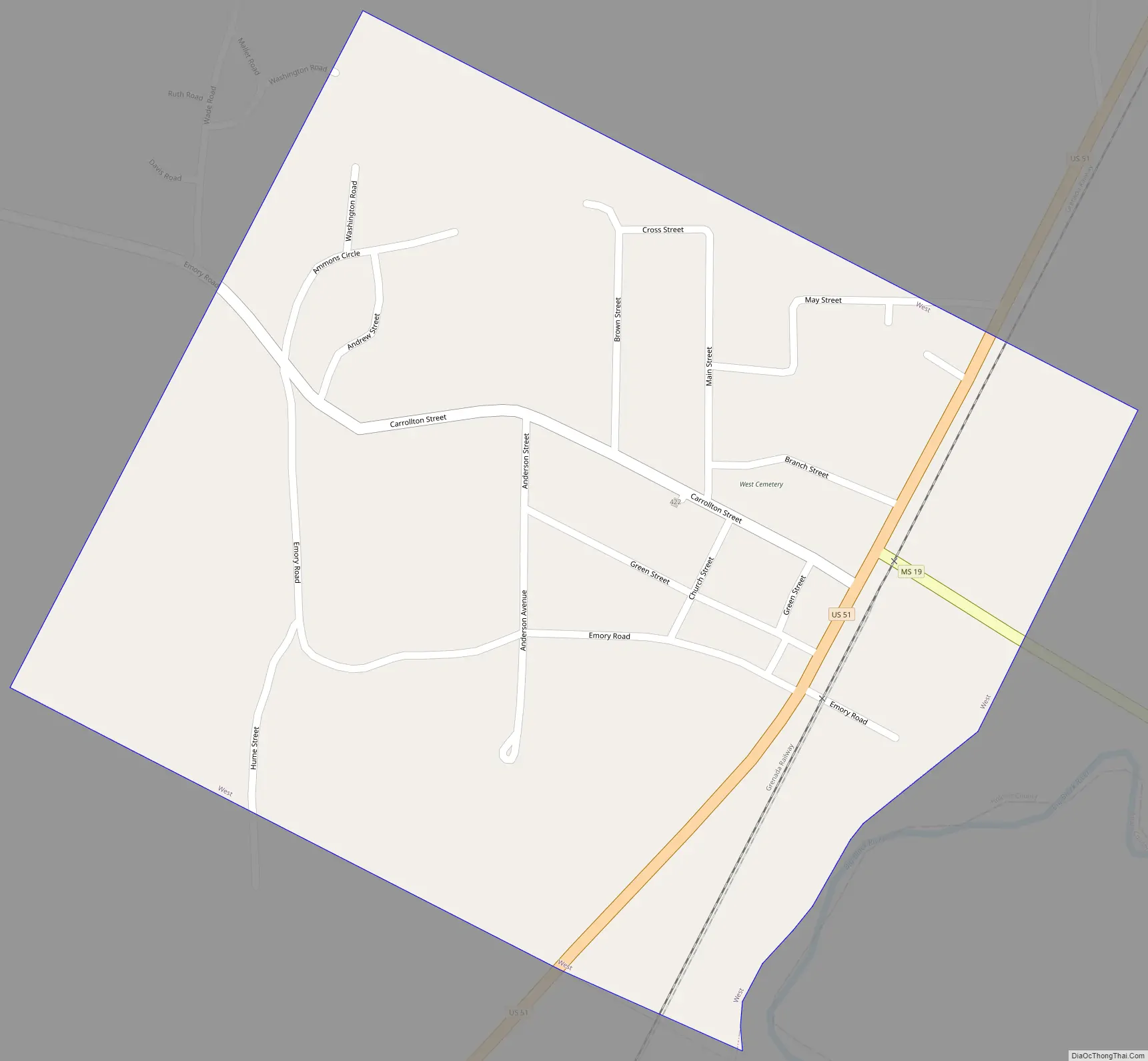
West Road Map
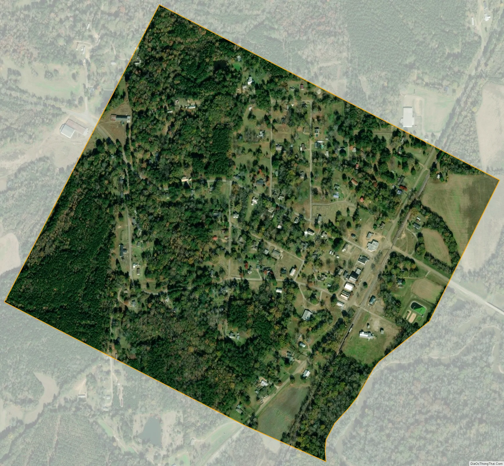
West city Satellite Map
Geography
West is bordered to the east by the Big Black River, which is also the Attala County line. West is the easternmost municipality in Holmes county.
U.S. Route 51 passes through the center of town, leading north 10 miles (16 km) to Vaiden and south 9 miles (14 km) to Durant. Interstate 55 passes 3 miles (5 km) west of town, with access from Exit 164 (Emory Road). I-55 leads south 70 miles (110 km) to Jackson, the state capital, and north 140 miles (230 km) to Memphis, Tennessee. Mississippi Highway 19 leads 17 miles (27 km) southeast from West to Kosciusko.
According to the United States Census Bureau, the town of West has a total area of 0.54 square miles (1.4 km), all land.
See also
Map of Mississippi State and its subdivision:- Adams
- Alcorn
- Amite
- Attala
- Benton
- Bolivar
- Calhoun
- Carroll
- Chickasaw
- Choctaw
- Claiborne
- Clarke
- Clay
- Coahoma
- Copiah
- Covington
- Desoto
- Forrest
- Franklin
- George
- Greene
- Grenada
- Hancock
- Harrison
- Hinds
- Holmes
- Humphreys
- Issaquena
- Itawamba
- Jackson
- Jasper
- Jefferson
- Jefferson Davis
- Jones
- Kemper
- Lafayette
- Lamar
- Lauderdale
- Lawrence
- Leake
- Lee
- Leflore
- Lincoln
- Lowndes
- Madison
- Marion
- Marshall
- Monroe
- Montgomery
- Neshoba
- Newton
- Noxubee
- Oktibbeha
- Panola
- Pearl River
- Perry
- Pike
- Pontotoc
- Prentiss
- Quitman
- Rankin
- Scott
- Sharkey
- Simpson
- Smith
- Stone
- Sunflower
- Tallahatchie
- Tate
- Tippah
- Tishomingo
- Tunica
- Union
- Walthall
- Warren
- Washington
- Wayne
- Webster
- Wilkinson
- Winston
- Yalobusha
- Yazoo
- Alabama
- Alaska
- Arizona
- Arkansas
- California
- Colorado
- Connecticut
- Delaware
- District of Columbia
- Florida
- Georgia
- Hawaii
- Idaho
- Illinois
- Indiana
- Iowa
- Kansas
- Kentucky
- Louisiana
- Maine
- Maryland
- Massachusetts
- Michigan
- Minnesota
- Mississippi
- Missouri
- Montana
- Nebraska
- Nevada
- New Hampshire
- New Jersey
- New Mexico
- New York
- North Carolina
- North Dakota
- Ohio
- Oklahoma
- Oregon
- Pennsylvania
- Rhode Island
- South Carolina
- South Dakota
- Tennessee
- Texas
- Utah
- Vermont
- Virginia
- Washington
- West Virginia
- Wisconsin
- Wyoming