Lebanon is a city in and the county seat of Warren County, Ohio, United States. The population was 20,841 at the 2020 census. It is part of the Cincinnati metropolitan area.
| Name: | Lebanon city |
|---|---|
| LSAD Code: | 25 |
| LSAD Description: | city (suffix) |
| State: | Ohio |
| County: | Warren County |
| Elevation: | 768 ft (234 m) |
| Total Area: | 13.18 sq mi (34.15 km²) |
| Land Area: | 13.18 sq mi (34.13 km²) |
| Water Area: | 0.01 sq mi (0.02 km²) |
| Total Population: | 20,841 |
| Population Density: | 1,581.62/sq mi (610.68/km²) |
| ZIP code: | 45036 |
| Area code: | 513 |
| FIPS code: | 3942364 |
| GNISfeature ID: | 1042462 |
Online Interactive Map
Click on ![]() to view map in "full screen" mode.
to view map in "full screen" mode.
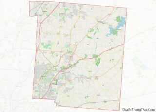
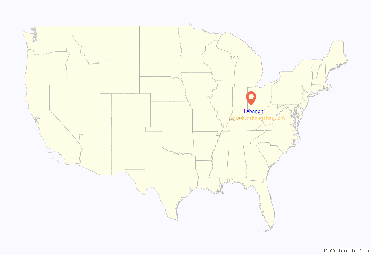
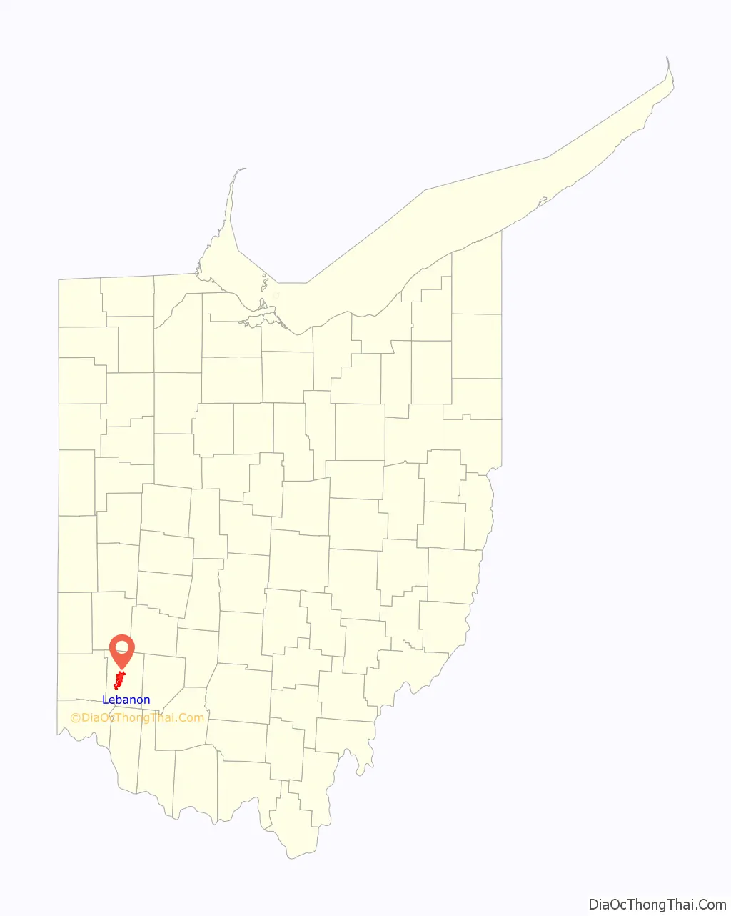
Lebanon location map. Where is Lebanon city?
History
Lebanon is in the Symmes Purchase. The first European settler in what is now Lebanon was Ichabod Corwin, uncle of Ohio Governor Thomas Corwin, who came to Ohio from Bourbon County, Kentucky, and settled on the north branch of Turtle Creek in March 1796. The site of his cabin is now on the grounds of Berry Intermediate School on North Broadway and is marked with a monument erected by the Warren County Historical Society.
The town was laid out in September 1802 on land owned by Ichabod Corwin, Silas Hurin, Ephraim Hathaway, and Samuel Manning in Sections 35 and 35 of Town 5, Range 3 North and Sections 5 and 6 of Town 4, Range 3 North of the Between the Miami Rivers Survey. Lebanon was named after the Biblical Lebanon because of the many juniper or Eastern Red cedar trees there, similar to the Lebanon Cedar. It is known today as “The Cedar City”.
City legend has it that Lebanon didn’t grow as large as Cincinnati or Dayton because of the ‘Shaker Curse’. During their migration, the Shakers decided an area outside of town was a suitable place for them to create a homeland for themselves. There was a disagreement with some of the locals and it was said the Shakers placed a curse on the city to hinder the city’s prosperity. In reality, the Shakers thrived in the area, and built a settlement about 4 miles (6.4 km) west of Lebanon called Union Village. A local man, Malchalm Worley was their first convert. Since the Shakers did not engage in procreation, they relied on converts to increase their numbers. By 1900, there were almost no Shakers left in Ohio.
The city is one of the few in the nation to once operate a government-run cable television and telephone service, as well as being a fiber-to-the-neighborhood Internet service provider. Controversial since it began operation in 1999, the Lebanon telecommunications system had struggled to recover its expenses and had accumulated over $8 million in debt. However, residents in the area at the time paid up to 50% less for the aforementioned services than neighboring communities, therefore saving over $40 million of the residents’ money. In the 2006 general election, however, voters approved the sale of this city-run telecommunications system to Cincinnati Bell.
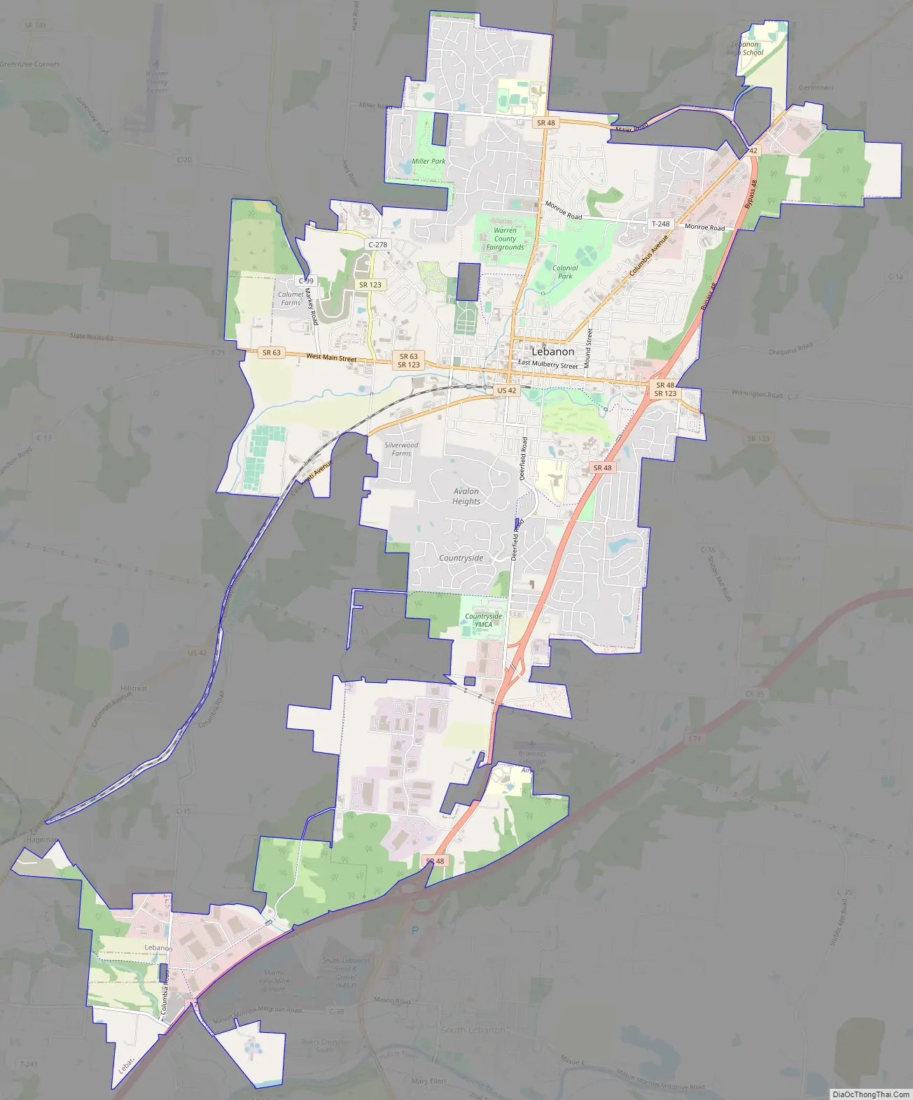
Lebanon Road Map
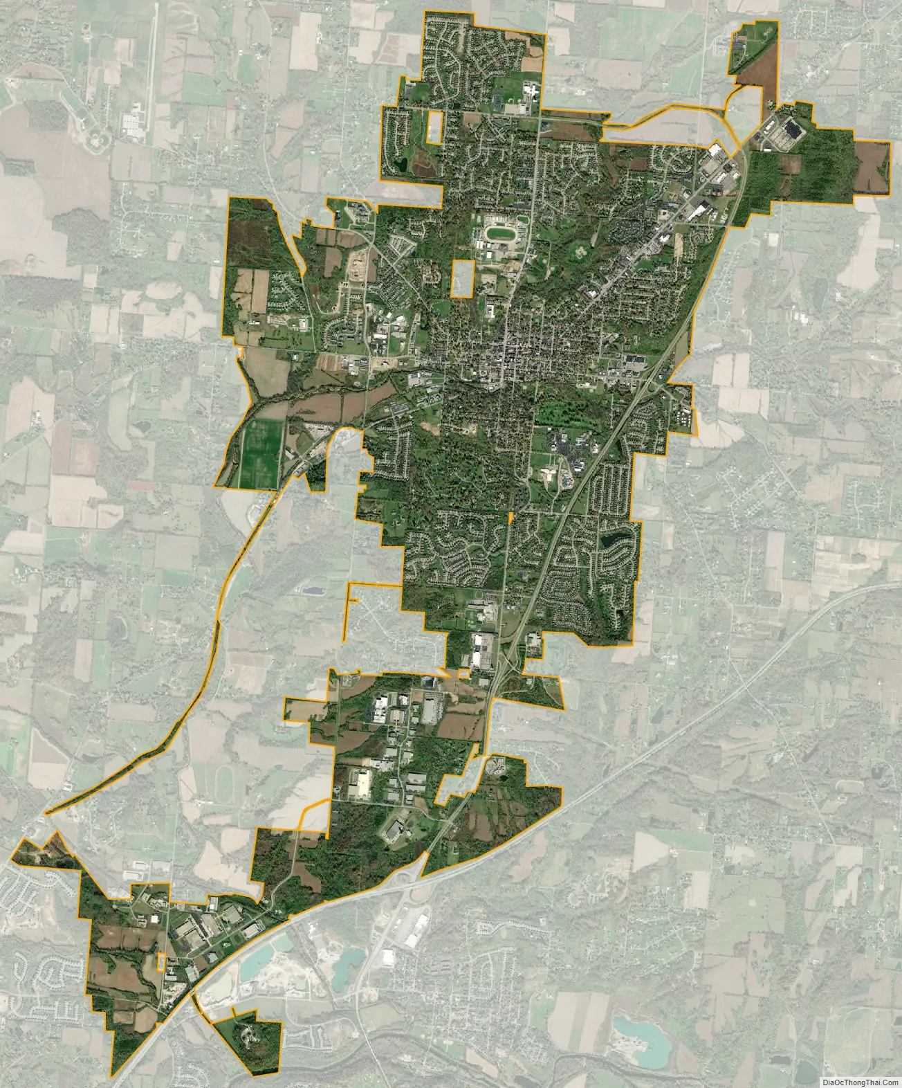
Lebanon city Satellite Map
Geography
According to the United States Census Bureau, the city has a total area of 12.97 square miles (33.59 km), of which 12.96 square miles (33.57 km) is land and 0.01 square miles (0.03 km) is water.
See also
Map of Ohio State and its subdivision:- Adams
- Allen
- Ashland
- Ashtabula
- Athens
- Auglaize
- Belmont
- Brown
- Butler
- Carroll
- Champaign
- Clark
- Clermont
- Clinton
- Columbiana
- Coshocton
- Crawford
- Cuyahoga
- Darke
- Defiance
- Delaware
- Erie
- Fairfield
- Fayette
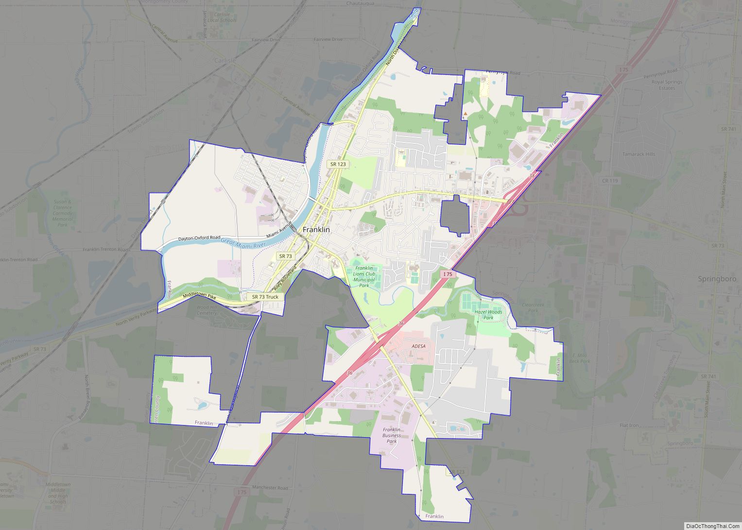
- Franklin
- Fulton
- Gallia
- Geauga
- Greene
- Guernsey
- Hamilton
- Hancock
- Hardin
- Harrison
- Henry
- Highland
- Hocking
- Holmes
- Huron
- Jackson
- Jefferson
- Knox
- Lake
- Lake Erie
- Lawrence
- Licking
- Logan
- Lorain
- Lucas
- Madison
- Mahoning
- Marion
- Medina
- Meigs
- Mercer
- Miami
- Monroe
- Montgomery
- Morgan
- Morrow
- Muskingum
- Noble
- Ottawa
- Paulding
- Perry
- Pickaway
- Pike
- Portage
- Preble
- Putnam
- Richland
- Ross
- Sandusky
- Scioto
- Seneca
- Shelby
- Stark
- Summit
- Trumbull
- Tuscarawas
- Union
- Van Wert
- Vinton
- Warren
- Washington
- Wayne
- Williams
- Wood
- Wyandot
- Alabama
- Alaska
- Arizona
- Arkansas
- California
- Colorado
- Connecticut
- Delaware
- District of Columbia
- Florida
- Georgia
- Hawaii
- Idaho
- Illinois
- Indiana
- Iowa
- Kansas
- Kentucky
- Louisiana
- Maine
- Maryland
- Massachusetts
- Michigan
- Minnesota
- Mississippi
- Missouri
- Montana
- Nebraska
- Nevada
- New Hampshire
- New Jersey
- New Mexico
- New York
- North Carolina
- North Dakota
- Ohio
- Oklahoma
- Oregon
- Pennsylvania
- Rhode Island
- South Carolina
- South Dakota
- Tennessee
- Texas
- Utah
- Vermont
- Virginia
- Washington
- West Virginia
- Wisconsin
- Wyoming