Lisbon is a village in and the county seat of Columbiana County, Ohio, United States, along the Little Beaver Creek. The population was 2,597 at the 2020 census. It is a part of the Salem micropolitan area, about 23 miles (37 km) southwest of Youngstown.
| Name: | Lisbon village |
|---|---|
| LSAD Code: | 47 |
| LSAD Description: | village (suffix) |
| State: | Ohio |
| County: | Columbiana County |
| Elevation: | 968 ft (295 m) |
| Total Area: | 1.68 sq mi (4.36 km²) |
| Land Area: | 1.68 sq mi (4.36 km²) |
| Water Area: | 0.00 sq mi (0.00 km²) |
| Total Population: | 2,597 |
| Population Density: | 1,542.16/sq mi (595.43/km²) |
| ZIP code: | 44432 |
| Area code: | 330, 234 |
| FIPS code: | 3944030 |
| GNISfeature ID: | 1065006 |
| Website: | http://www.lisbonvillage.com/ |
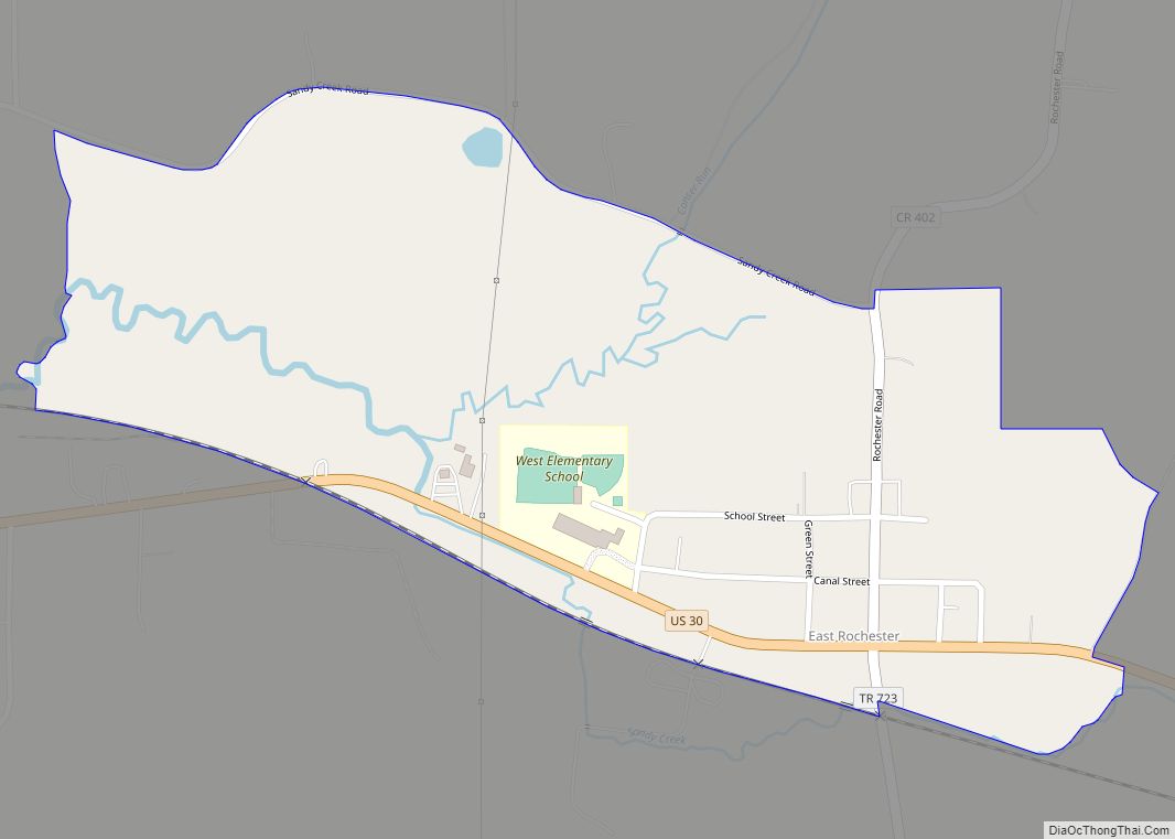
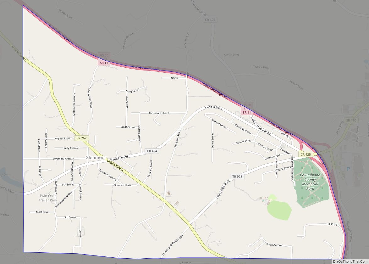
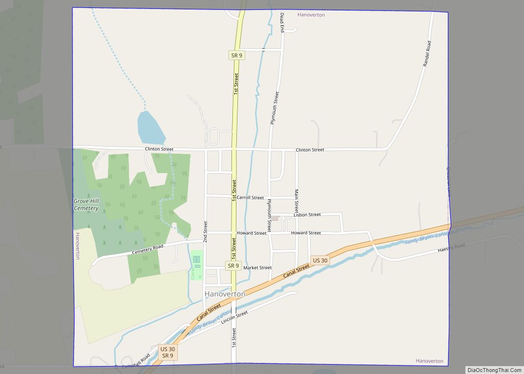
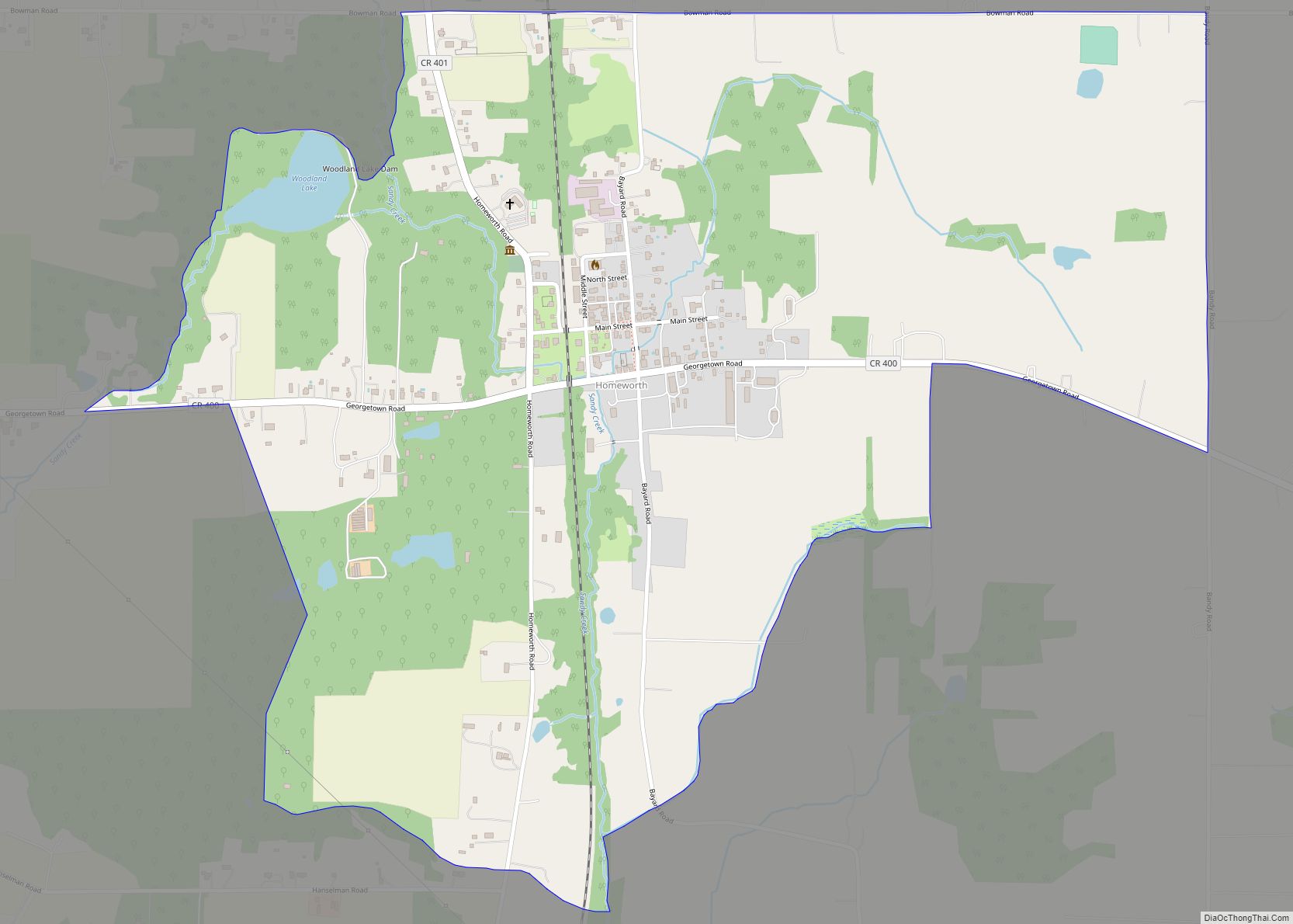
Online Interactive Map
Click on ![]() to view map in "full screen" mode.
to view map in "full screen" mode.
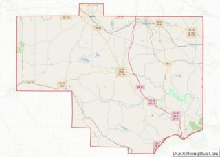
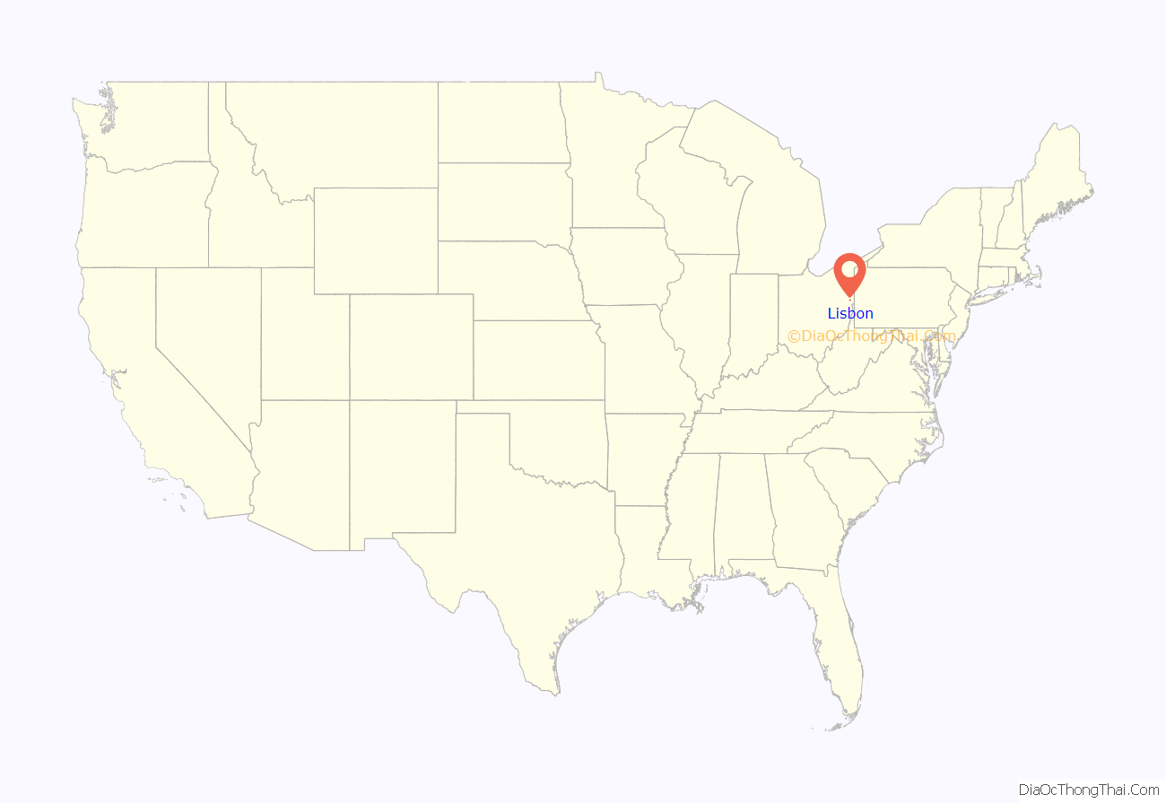
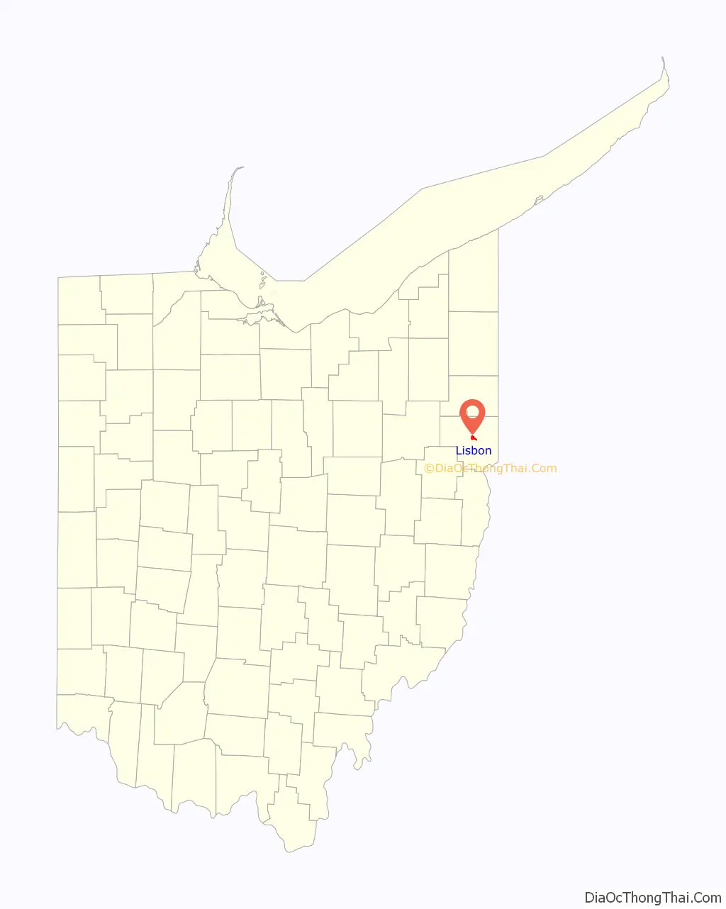
Lisbon location map. Where is Lisbon village?
History
Lisbon was platted on February 16, 1803, by Baptist minister Lewis Kinney, originally named New Lisbon after Lisbon, Portugal. The village was incorporated under a special act of legislature on February 7, 1825. Initially known for its iron and whiskey production, New Lisbon became an economic hub of many sorts into the first industrial revolution, and one of the largest towns on the Sandy and Beaver Canal. During this time, the village claimed the county’s first bank, the Columbiana Bank of New Lisbon; its first insurance company, and the first Ohio newspaper, The Ohio Patriot, founded by an Alsatian immigrant, William D. Lepper.
Lisbon has the distinction of being the northernmost western town involved in military actions during the American Civil War. Confederate Army general John Hunt Morgan surrendered to New Lisbon militia forces in nearby West Point at the end of Morgan’s Raid into Ohio. After the failure of the canal, the town had to wait until the late 1860s to receive railroad access once the Niles and New Lisbon Railroad opened. It and the later Pittsburgh, Marion & Chicago Railway helped bring industry to the area, including the porcelain manufacturing R. Thomas and Sons Company. The village was renamed to Lisbon in 1895. In 1900, the modern drinking straw was invented and patented in Lisbon.
In 1899, Jacob L. Beilhart founded the Spirit Fruit Society, an intentional community to practice his newly developed beliefs, in Lisbon. Its goal was to “teach mankind how to apply the truths taught by Jesus Christ,” which included a rejection of jealousy and materialism. The commune only attracted about a dozen residents, mostly from outside the area. However, views against marriage and promoting free love were not accepted well in Lisbon, and the group left for Chicago in late 1904.
Lisbon became a qualified Tree City USA as recognized by the National Arbor Day Foundation in 1981.
Lisbon Road Map

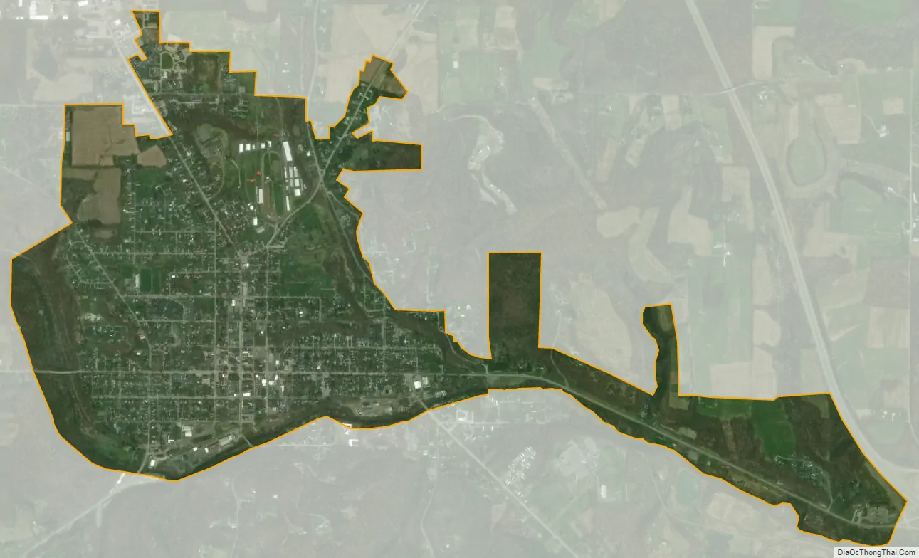
Lisbon city Satellite Map
Geography
Lisbon is located at 40°46′26″N 80°46′3″W / 40.77389°N 80.76750°W / 40.77389; -80.76750 (40.773874, -80.767553).
The following highways pass through Lisbon:
- U.S. Route 30
- State Route 45
- State Route 154
- State Route 164
- State Route 517
According to the United States Census Bureau, the village has a total area of 1.69 square miles (4.38 km), all land.
See also
Map of Ohio State and its subdivision:- Adams
- Allen
- Ashland
- Ashtabula
- Athens
- Auglaize
- Belmont
- Brown
- Butler
- Carroll
- Champaign
- Clark
- Clermont
- Clinton
- Columbiana
- Coshocton
- Crawford
- Cuyahoga
- Darke
- Defiance
- Delaware
- Erie
- Fairfield
- Fayette
- Franklin
- Fulton
- Gallia
- Geauga
- Greene
- Guernsey
- Hamilton
- Hancock
- Hardin
- Harrison
- Henry
- Highland
- Hocking
- Holmes
- Huron
- Jackson
- Jefferson
- Knox
- Lake
- Lake Erie
- Lawrence
- Licking
- Logan
- Lorain
- Lucas
- Madison
- Mahoning
- Marion
- Medina
- Meigs
- Mercer
- Miami
- Monroe
- Montgomery
- Morgan
- Morrow
- Muskingum
- Noble
- Ottawa
- Paulding
- Perry
- Pickaway
- Pike
- Portage
- Preble
- Putnam
- Richland
- Ross
- Sandusky
- Scioto
- Seneca
- Shelby
- Stark
- Summit
- Trumbull
- Tuscarawas
- Union
- Van Wert
- Vinton
- Warren
- Washington
- Wayne
- Williams
- Wood
- Wyandot
- Alabama
- Alaska
- Arizona
- Arkansas
- California
- Colorado
- Connecticut
- Delaware
- District of Columbia
- Florida
- Georgia
- Hawaii
- Idaho
- Illinois
- Indiana
- Iowa
- Kansas
- Kentucky
- Louisiana
- Maine
- Maryland
- Massachusetts
- Michigan
- Minnesota
- Mississippi
- Missouri
- Montana
- Nebraska
- Nevada
- New Hampshire
- New Jersey
- New Mexico
- New York
- North Carolina
- North Dakota
- Ohio
- Oklahoma
- Oregon
- Pennsylvania
- Rhode Island
- South Carolina
- South Dakota
- Tennessee
- Texas
- Utah
- Vermont
- Virginia
- Washington
- West Virginia
- Wisconsin
- Wyoming