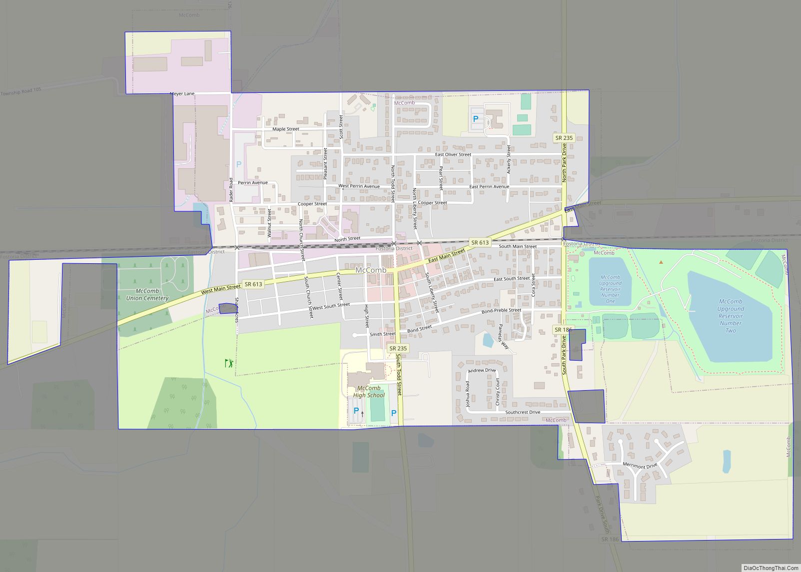
McComb is a village in Hancock County, Ohio, United States. The population was 1,648 at the time of the 2010 census. The village holds one school district, McComb Local School District and is the largest village in Hancock County.
| Name: | McComb village |
|---|---|
| LSAD Code: | 47 |
| LSAD Description: | village (suffix) |
| State: | Ohio |
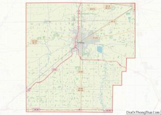
| County: | Hancock County |
| Elevation: | 771 ft (235 m) |
| Total Area: | 1.08 sq mi (2.80 km²) |
| Land Area: | 1.04 sq mi (2.71 km²) |
| Water Area: | 0.04 sq mi (0.09 km²) |
| Total Population: | 1,558 |
| Population Density: | 1,490.91/sq mi (575.45/km²) |
| ZIP code: | 45858 |
| Area code: | 419 |
| FIPS code: | 3945808 |
| GNISfeature ID: | 1061491 |
| Website: | www.villageofmccomb.com |
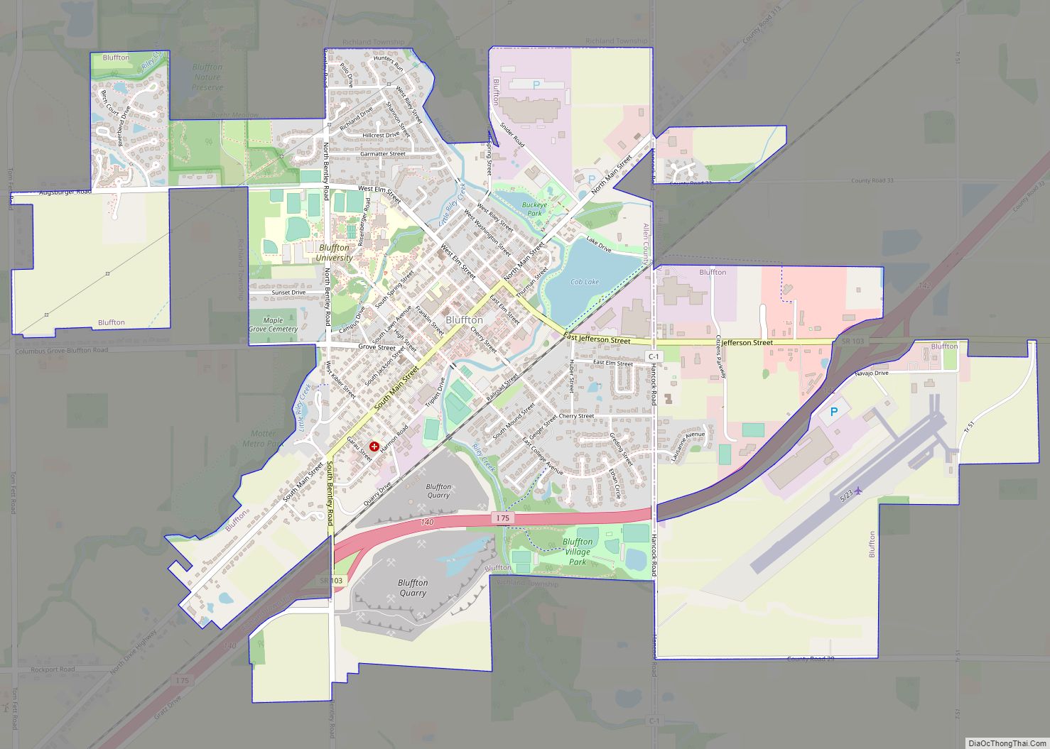
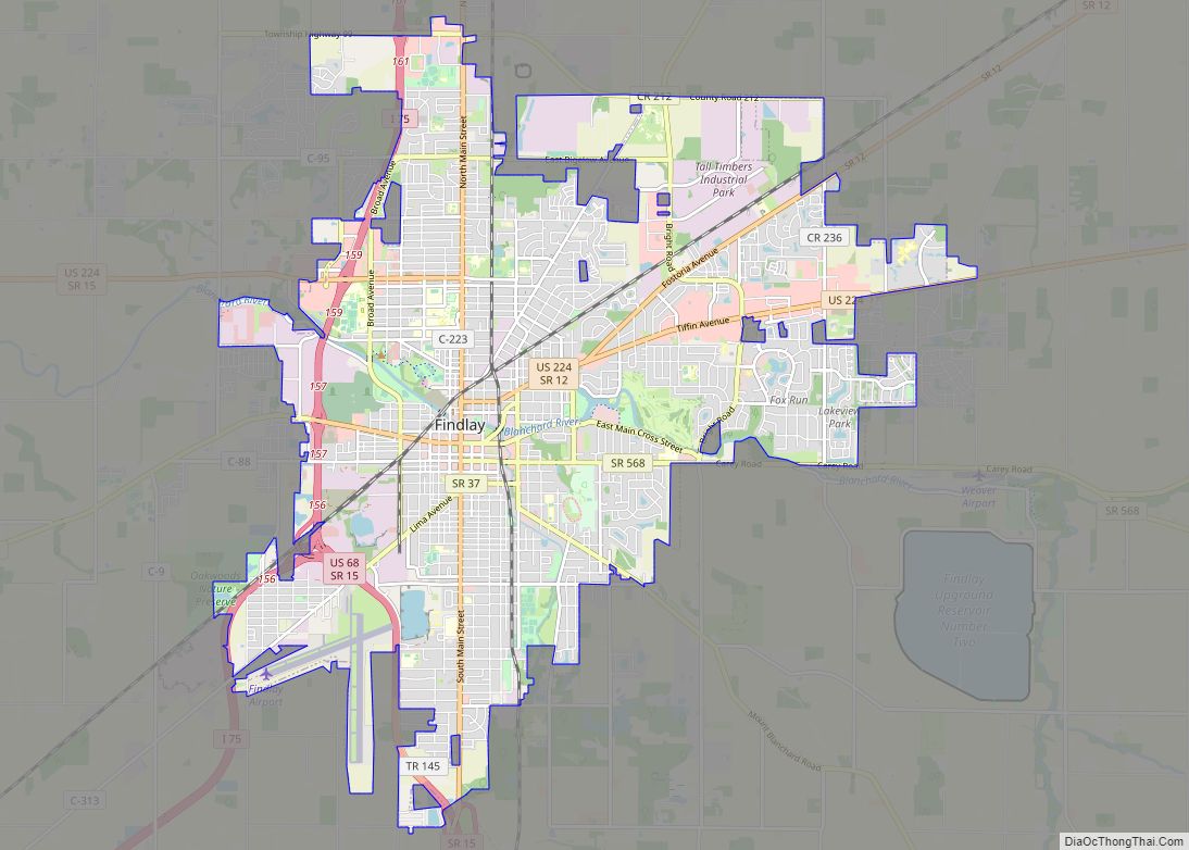
Online Interactive Map
Click on ![]() to view map in "full screen" mode.
to view map in "full screen" mode.
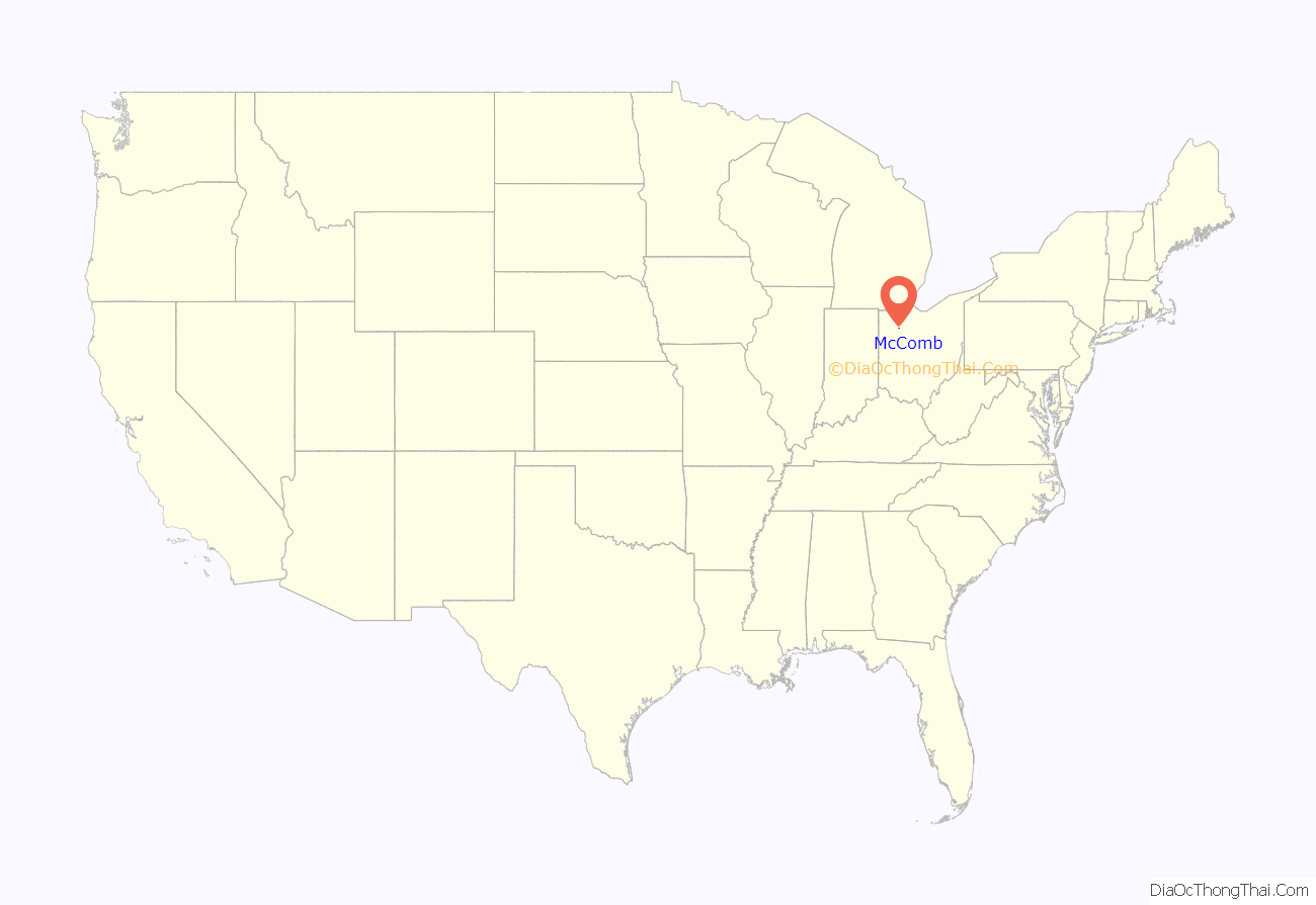
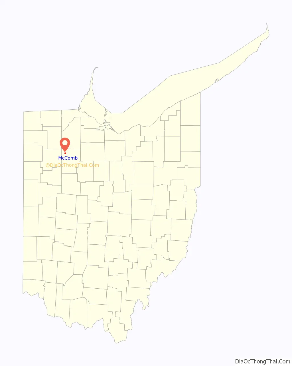
McComb location map. Where is McComb village?
History
McComb, originally known as Pleasantville, was laid out in 1847. The village was renamed McComb in 1858.
Despite its spelling, McComb is named for Alexander Macomb, who was the second man to serve as Commanding General of the United States Army. The reason for the spelling, “McComb” instead of “Macomb,” is that the village was named by a Scotsman who fought under Macomb at the Battle of Plattsburg, and he used the Scottish manner of pronunciation and spelling.
William Bensinger and John Reed Porter among the first soldiers receive the Medal of Honor in American history for their role in the Great Locomotive Chase, are buried in McComb.
McComb Road Map
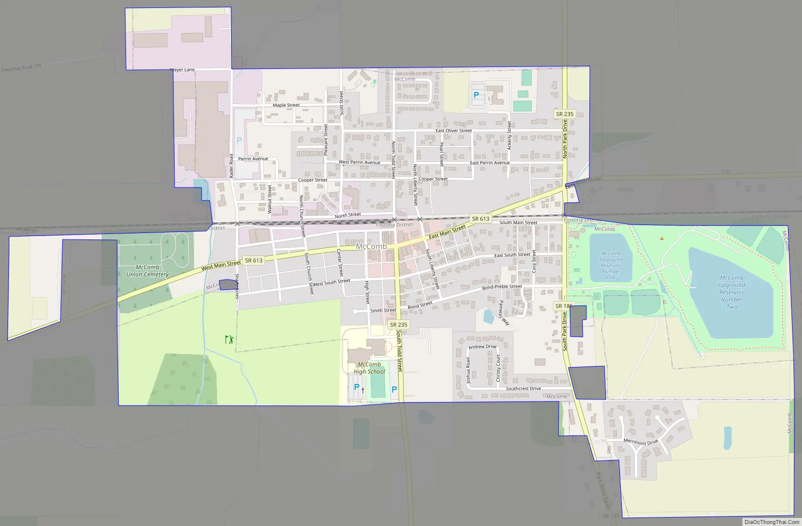
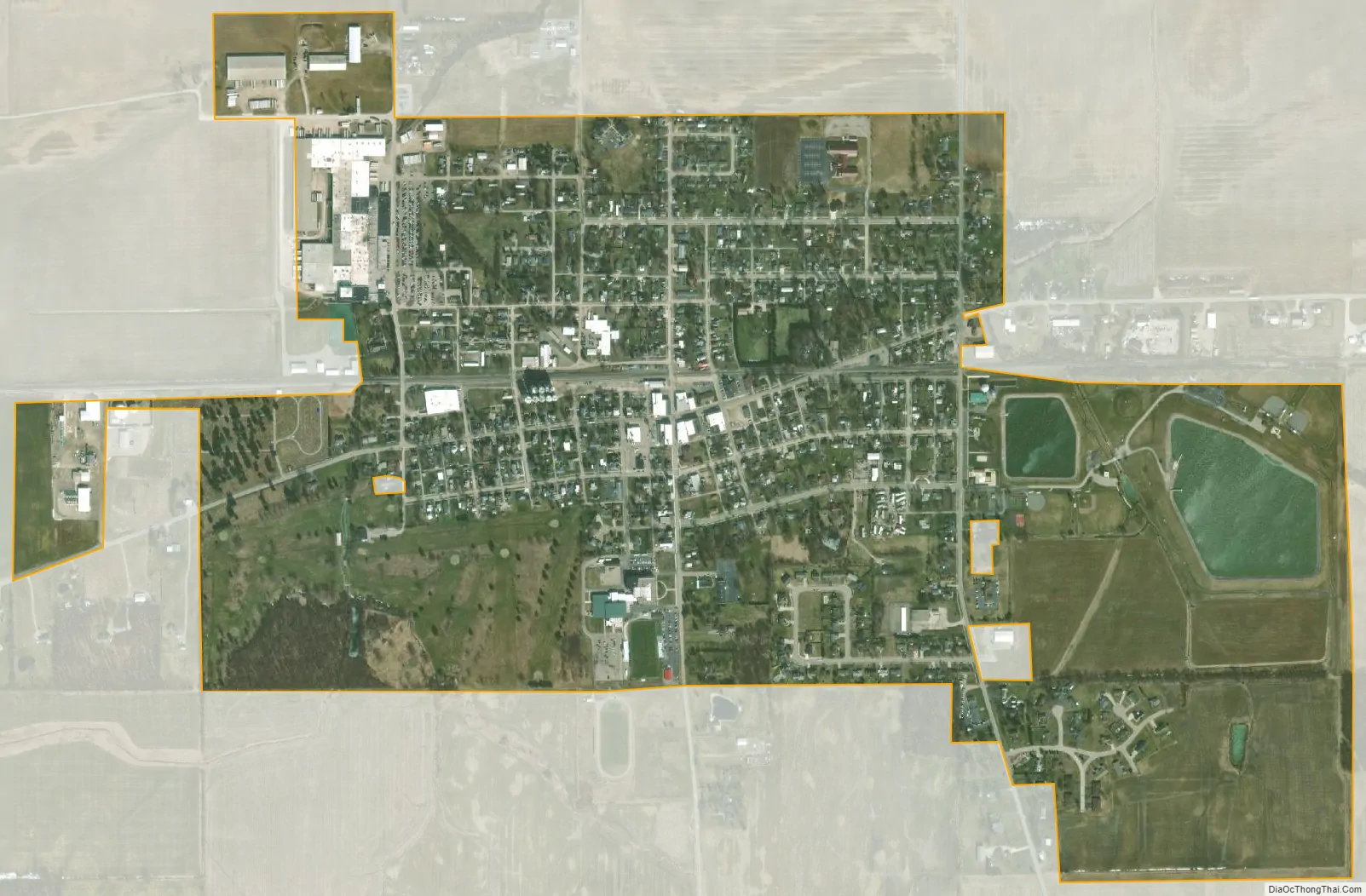
McComb city Satellite Map
Geography
McComb is located at 41°6′33″N 83°47′32″W / 41.10917°N 83.79222°W / 41.10917; -83.79222 (41.109134, -83.792191). The village is northwest of Findlay near the Putnam and Wood County borders.
According to the United States Census Bureau, the village has a total area of 0.93 square miles (2.41 km), of which 0.89 square miles (2.31 km) is land and 0.04 square miles (0.10 km) is water.
See also
Map of Ohio State and its subdivision:- Adams
- Allen
- Ashland
- Ashtabula
- Athens
- Auglaize
- Belmont
- Brown
- Butler
- Carroll
- Champaign
- Clark
- Clermont
- Clinton
- Columbiana
- Coshocton
- Crawford
- Cuyahoga
- Darke
- Defiance
- Delaware
- Erie
- Fairfield
- Fayette
- Franklin
- Fulton
- Gallia
- Geauga
- Greene
- Guernsey
- Hamilton
- Hancock
- Hardin
- Harrison
- Henry
- Highland
- Hocking
- Holmes
- Huron
- Jackson
- Jefferson
- Knox
- Lake
- Lake Erie
- Lawrence
- Licking
- Logan
- Lorain
- Lucas
- Madison
- Mahoning
- Marion
- Medina
- Meigs
- Mercer
- Miami
- Monroe
- Montgomery
- Morgan
- Morrow
- Muskingum
- Noble
- Ottawa
- Paulding
- Perry
- Pickaway
- Pike
- Portage
- Preble
- Putnam
- Richland
- Ross
- Sandusky
- Scioto
- Seneca
- Shelby
- Stark
- Summit
- Trumbull
- Tuscarawas
- Union
- Van Wert
- Vinton
- Warren
- Washington
- Wayne
- Williams
- Wood
- Wyandot
- Alabama
- Alaska
- Arizona
- Arkansas
- California
- Colorado
- Connecticut
- Delaware
- District of Columbia
- Florida
- Georgia
- Hawaii
- Idaho
- Illinois
- Indiana
- Iowa
- Kansas
- Kentucky
- Louisiana
- Maine
- Maryland
- Massachusetts
- Michigan
- Minnesota
- Mississippi
- Missouri
- Montana
- Nebraska
- Nevada
- New Hampshire
- New Jersey
- New Mexico
- New York
- North Carolina
- North Dakota
- Ohio
- Oklahoma
- Oregon
- Pennsylvania
- Rhode Island
- South Carolina
- South Dakota
- Tennessee
- Texas
- Utah
- Vermont
- Virginia
- Washington
- West Virginia
- Wisconsin
- Wyoming