Findlay (/ˈfɪnli/ FIN-lee) is a city in and the county seat of Hancock County, Ohio, United States. The second-largest city in Northwest Ohio, Findlay lies about 40 miles (64 km) south of Toledo. Its population was 40,313 at the 2020 census. The principal city of the Findlay micropolitan area, it is home to the University of Findlay, and the headquarters of Fortune 100 company Marathon Petroleum, which ranks 19th.
| Name: | Findlay city |
|---|---|
| LSAD Code: | 25 |
| LSAD Description: | city (suffix) |
| State: | Ohio |
| County: | Hancock County |
| Elevation: | 778 ft (237 m) |
| Total Area: | 19.74 sq mi (51.21 km²) |
| Land Area: | 19.64 sq mi (50.87 km²) |
| Water Area: | 0.13 sq mi (0.34 km²) |
| Total Population: | 40,313 |
| Population Density: | 2,052.49/sq mi (792.49/km²) |
| ZIP code: | 45839-45840 |
| Area code: | 419, 567 |
| FIPS code: | 3927048 |
| GNISfeature ID: | 1040439 |
| Website: | www.findlayohio.gov |
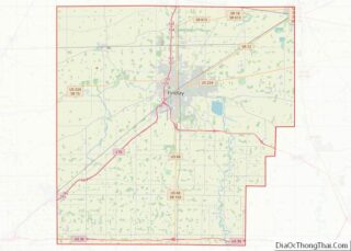
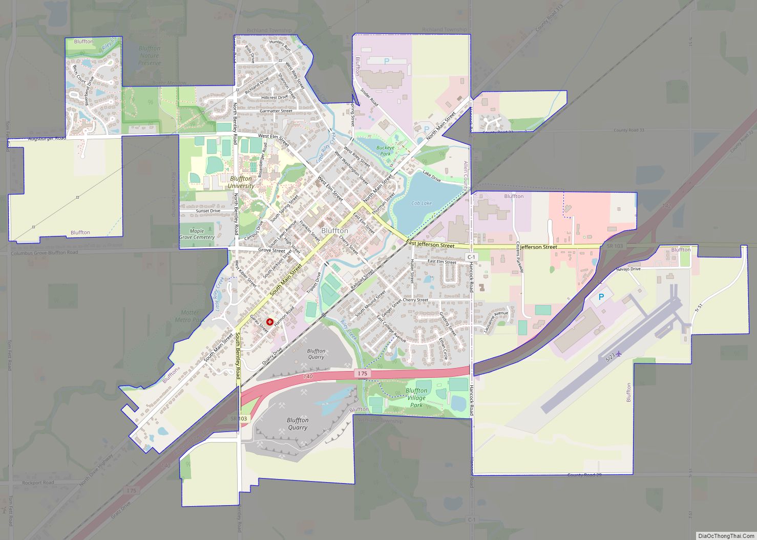
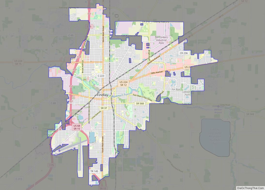
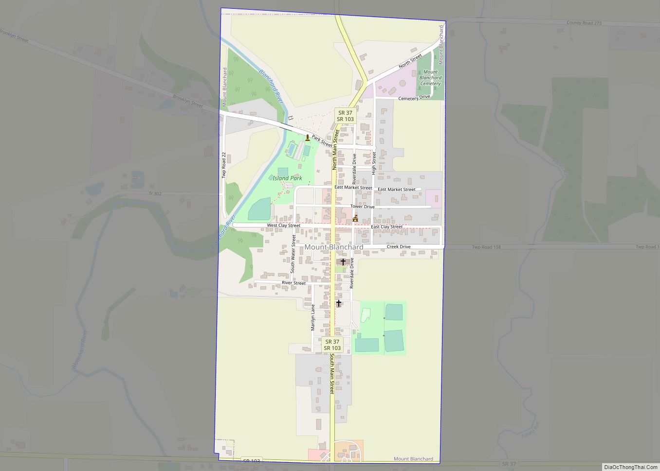
Online Interactive Map
Click on ![]() to view map in "full screen" mode.
to view map in "full screen" mode.
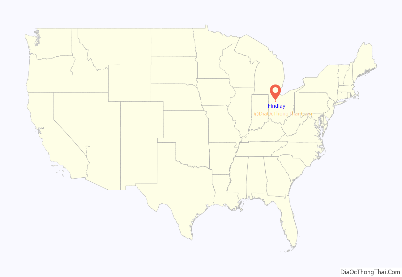
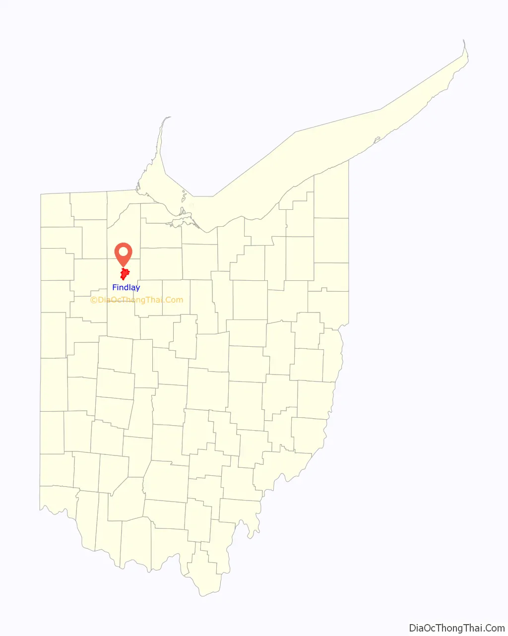
Findlay location map. Where is Findlay city?
History
In the War of 1812, Colonel James Findlay of Cincinnati built a road and a stockade to transport and shelter troops in the Great Black Swamp region. This stockade was named Fort Findlay in his honor. At the conclusion of the war, the community of Findlay was born. The first town lots were laid out in 1821 by future Ohio Governor Joseph Vance and Elnathan Corry.
Before the Civil War, Findlay was a stop for slaves along the Underground Railroad.
In 1861, David Ross Locke moved to Findlay, where he served as editor for the Hancock Jeffersonian newspaper until he left in 1865. It was in the Hancock Jeffersonian that Locke penned the first of his Nasby letters.
During the 1880s, Findlay was a booming center of oil and natural gas production, though the supply of petroleum had dwindled by the early 20th century.
Findlay hosted the highly competitive Ohio State Music Festival in 1884. A young cornet player, Warren G. Harding, and his Citizens’ Cornet Band of Marion placed third in the competition. Harding went on to be elected the 29th President of the United States.
On March 31, 1892, the only known lynching in the history of Hancock County occurred when a mob of 1,000 men, many “respectable citizens”, broke into the county jail in Findlay. They lynched Mr. Lytle, who had seriously (but not fatally as believed at the time) injured his wife and two daughters with a hatchet the day before, by hanging him twice (first from the bridge, then a telegraph pole) and finally shooting his body over a dozen times. The authorities had intended to secretly convey the prisoner to a suburb at one o’clock, where a train was to have been taken for Lima, but their plans were frustrated by the mob.
In 1908, American songwriter Tell Taylor wrote the standard, “Down by the Old Mill Stream” while fishing along the Blanchard River in Findlay. The song was published in 1910.
A disaster occurred during the 1936 Independence Day celebration, where a stray firework fell into a crowd, injuring 16 people and attracting national media attention.
For three months in the early 1960s, Findlay had the distinction of being the only community in the world where touch-tone telephone service was available. Touch-tone service was first introduced there on November 1, 1960.
In 2007, a flood that crested at 18.46 feet caused around $100 million in damage. The flood was nearly as strong as the 1913 flood.
Findlay Road Map
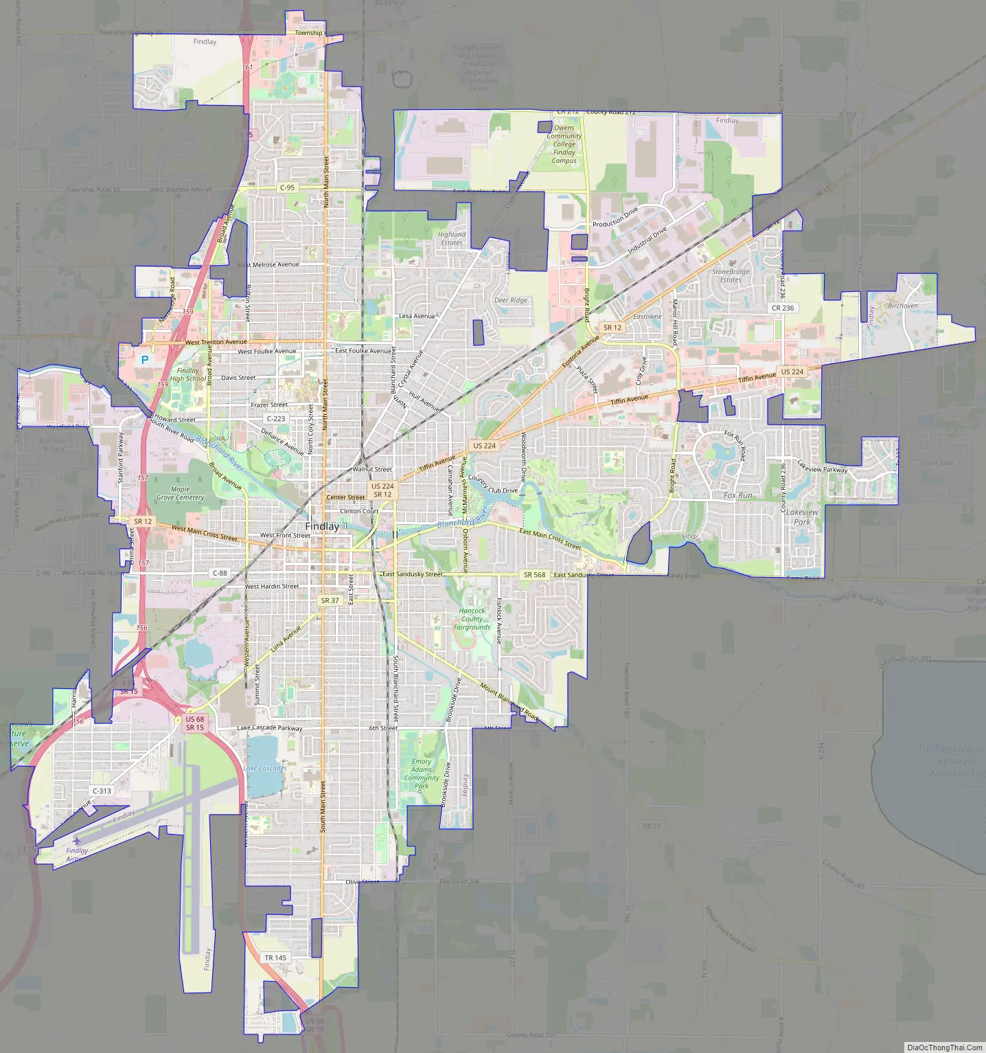
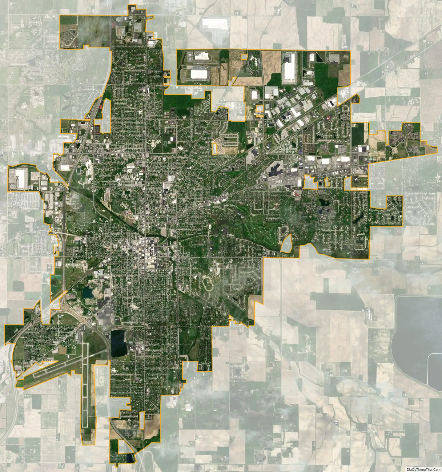
Findlay city Satellite Map
Geography
Findlay is located at 41°02′34″N 83°38′32″W / 41.042843°N 83.642216°W / 41.042843; -83.642216 (41.042843, −83.642216).
According to the United States Census Bureau, the city has a total area of 19.25 square miles (49.86 km), of which 0.12 square miles (0.31 km) is covered by water.
The Blanchard River travels through Findlay, flowing east to west.
The Findlay Reservoir No. 2 is the largest above-ground reservoir in the state of Ohio, with a capacity around 5 billion US gallons (19,000,000 m) of water.
Climate
See also
Map of Ohio State and its subdivision:- Adams
- Allen
- Ashland
- Ashtabula
- Athens
- Auglaize
- Belmont
- Brown
- Butler
- Carroll
- Champaign
- Clark
- Clermont
- Clinton
- Columbiana
- Coshocton
- Crawford
- Cuyahoga
- Darke
- Defiance
- Delaware
- Erie
- Fairfield
- Fayette
- Franklin
- Fulton
- Gallia
- Geauga
- Greene
- Guernsey
- Hamilton
- Hancock
- Hardin
- Harrison
- Henry
- Highland
- Hocking
- Holmes
- Huron
- Jackson
- Jefferson
- Knox
- Lake
- Lake Erie
- Lawrence
- Licking
- Logan
- Lorain
- Lucas
- Madison
- Mahoning
- Marion
- Medina
- Meigs
- Mercer
- Miami
- Monroe
- Montgomery
- Morgan
- Morrow
- Muskingum
- Noble
- Ottawa
- Paulding
- Perry
- Pickaway
- Pike
- Portage
- Preble
- Putnam
- Richland
- Ross
- Sandusky
- Scioto
- Seneca
- Shelby
- Stark
- Summit
- Trumbull
- Tuscarawas
- Union
- Van Wert
- Vinton
- Warren
- Washington
- Wayne
- Williams
- Wood
- Wyandot
- Alabama
- Alaska
- Arizona
- Arkansas
- California
- Colorado
- Connecticut
- Delaware
- District of Columbia
- Florida
- Georgia
- Hawaii
- Idaho
- Illinois
- Indiana
- Iowa
- Kansas
- Kentucky
- Louisiana
- Maine
- Maryland
- Massachusetts
- Michigan
- Minnesota
- Mississippi
- Missouri
- Montana
- Nebraska
- Nevada
- New Hampshire
- New Jersey
- New Mexico
- New York
- North Carolina
- North Dakota
- Ohio
- Oklahoma
- Oregon
- Pennsylvania
- Rhode Island
- South Carolina
- South Dakota
- Tennessee
- Texas
- Utah
- Vermont
- Virginia
- Washington
- West Virginia
- Wisconsin
- Wyoming