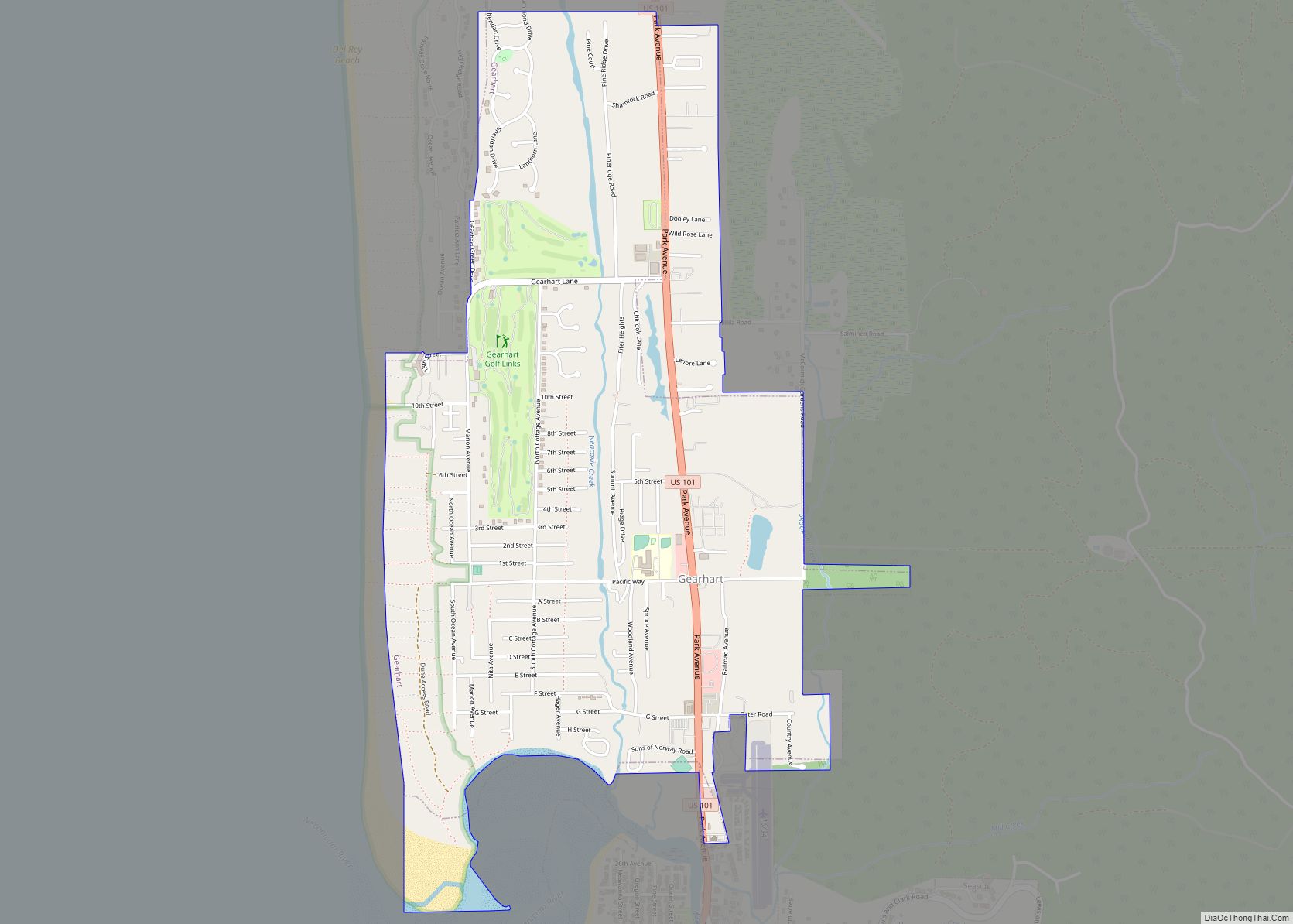
Gearhart is a city in Clatsop County, Oregon, United States. The population was 1,462 at the 2010 census.
| Name: | Gearhart city |
|---|---|
| LSAD Code: | 25 |
| LSAD Description: | city (suffix) |
| State: | Oregon |
| County: | Clatsop County |
| Incorporated: | 1918 |
| Elevation: | 16 ft (4.9 m) |
| Total Area: | 1.88 sq mi (4.86 km²) |
| Land Area: | 1.85 sq mi (4.79 km²) |
| Water Area: | 0.03 sq mi (0.06 km²) |
| Total Population: | 1,793 |
| Population Density: | 968.67/sq mi (373.95/km²) |
| ZIP code: | 97138 |
| Area code: | 503 and 971 |
| FIPS code: | 4128450 |
| GNISfeature ID: | 1121084 |
| Website: | www.ci.gearhart.or.us |
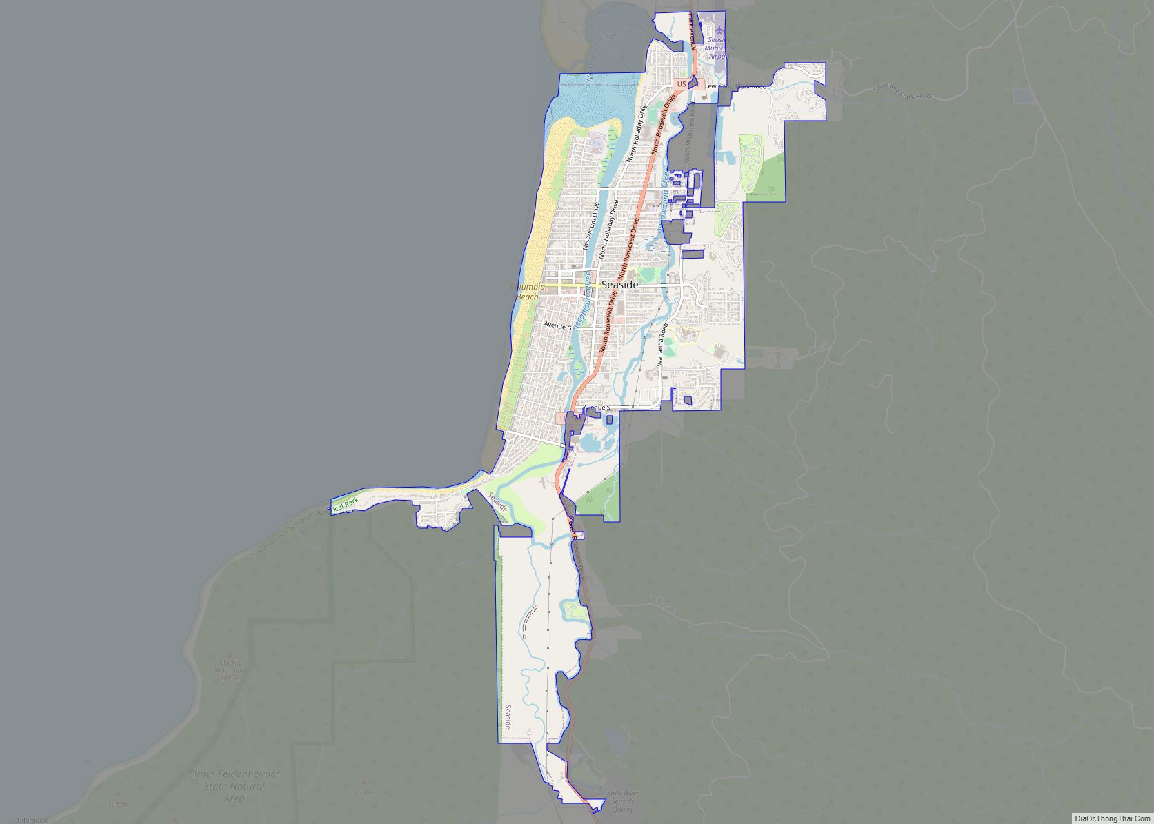
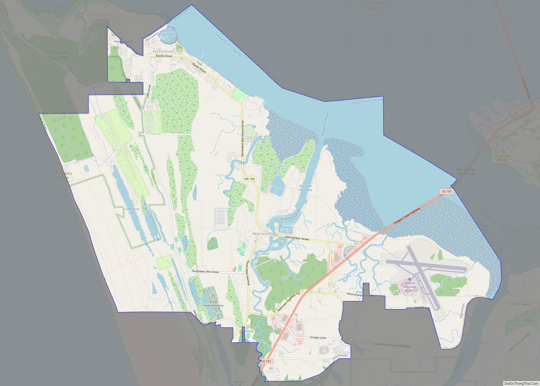
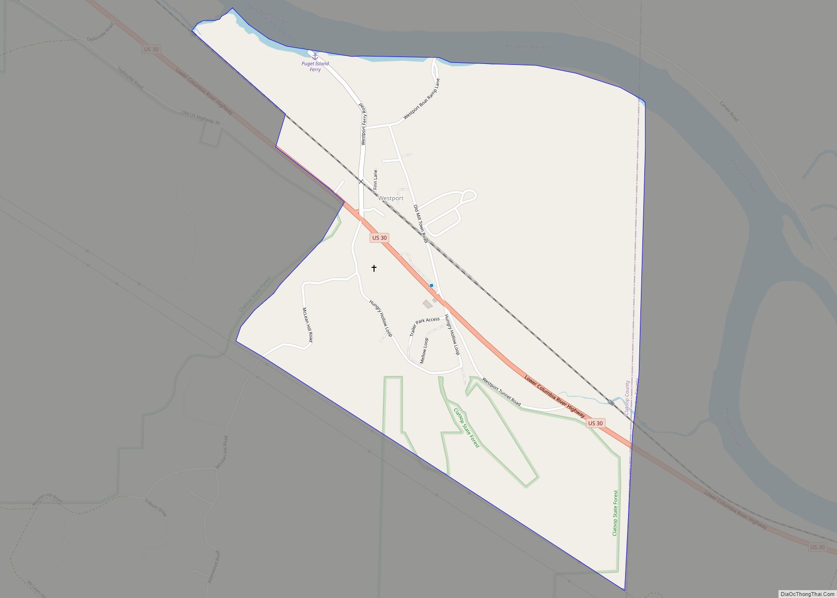
Online Interactive Map
Click on ![]() to view map in "full screen" mode.
to view map in "full screen" mode.
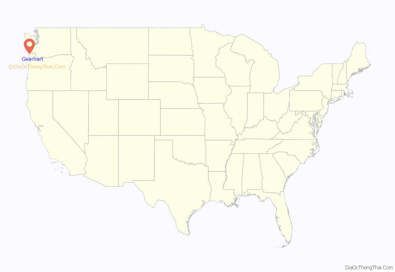
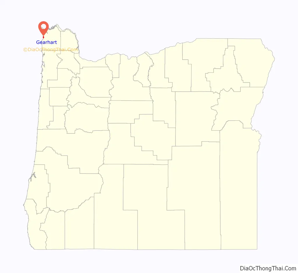
Gearhart location map. Where is Gearhart city?
History
The city is named for Phillip Gearhart, a settler who in 1848 set out from Independence, Missouri, with his family and arrived in Oregon City in October of that year. He rented a log cabin on Clatsop Plains. At that time, other farmers had already settled primarily on the northern Plains. The first farmer to settle there was Solomon Smith. In 1851, Gearhart bought a squatter’s right in the south Plains for $1,000. He used it to create a 640-acre (2.6 km) donation land claim; the US patent was granted in 1874. Gearhart increased his holdings by 537 acres (2.17 km) in 1859 through a purchase from Obadiah C. Motley, and again in 1863 by 571 acres (2.31 km) purchased from Jefferson J. Louk. The entire parcel encompassed all of what is now called Gearhart, as well as a portion of Seaside across the Necanicum River estuary. Gearhart built a home and farm for his family near a grist mill by Mill Creek, in a sheltered area north and east of the estuary.
In 1889, a railroad was built between Astoria and Seaside. It became a means of transportation to Seaside not only for Astorians but for Portlanders disembarking from the ferry in Astoria. Gearhart began to draw attention as a pleasant landscape for wandering and picnicking. Early settlers were attracted to the Ridge Path through the dune meadows of the Phillip Gearhart land claim.
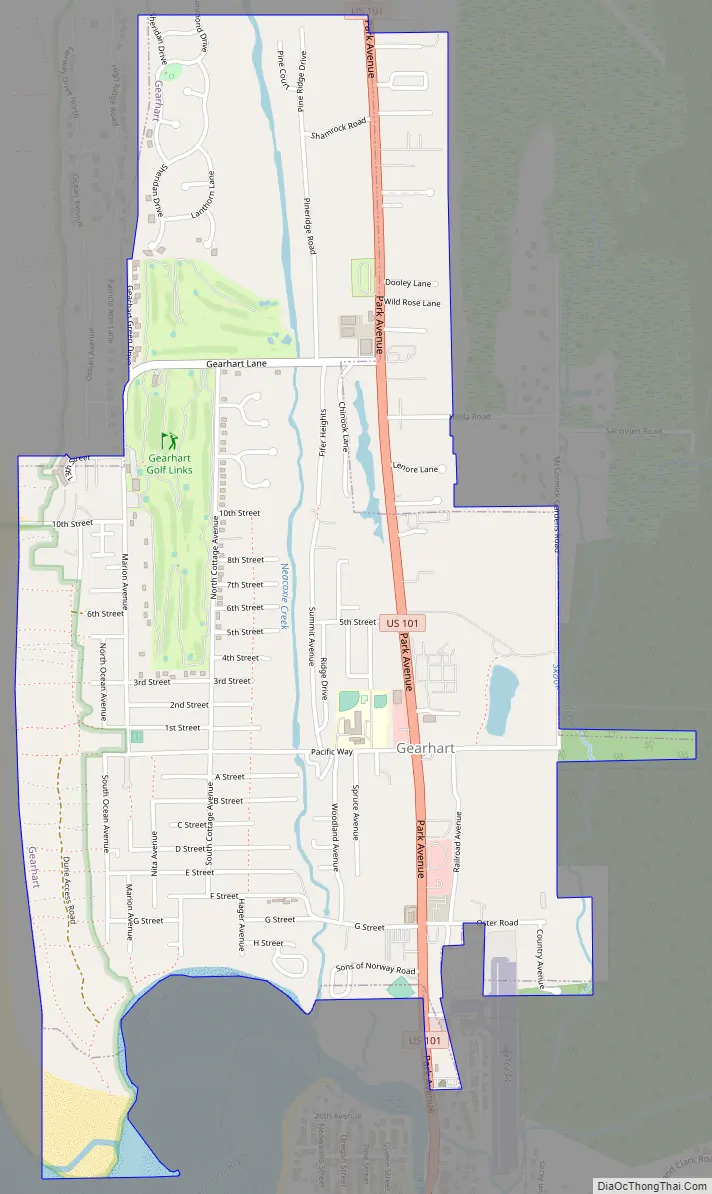
Gearhart Road Map
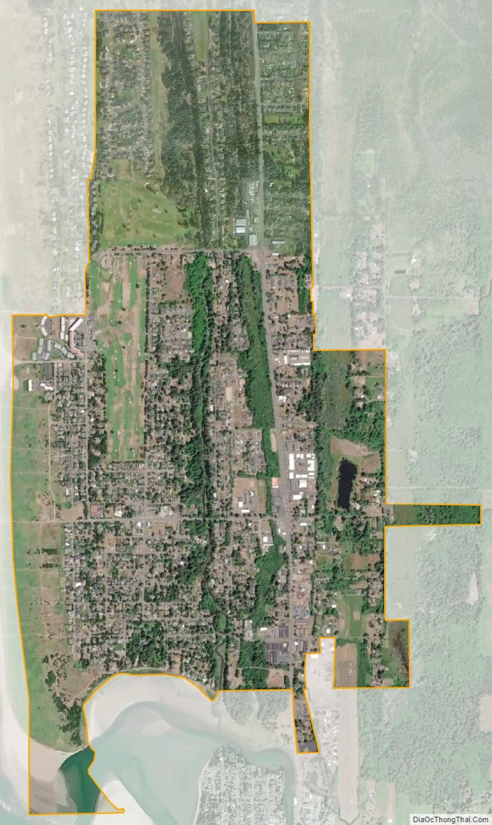
Gearhart city Satellite Map
Geography
According to the United States Census Bureau, the city has a total area of 1.91 square miles (4.95 km), of which 1.90 square miles (4.92 km) is land and 0.01 square miles (0.03 km) is water.
See also
Map of Oregon State and its subdivision: Map of other states:- Alabama
- Alaska
- Arizona
- Arkansas
- California
- Colorado
- Connecticut
- Delaware
- District of Columbia
- Florida
- Georgia
- Hawaii
- Idaho
- Illinois
- Indiana
- Iowa
- Kansas
- Kentucky
- Louisiana
- Maine
- Maryland
- Massachusetts
- Michigan
- Minnesota
- Mississippi
- Missouri
- Montana
- Nebraska
- Nevada
- New Hampshire
- New Jersey
- New Mexico
- New York
- North Carolina
- North Dakota
- Ohio
- Oklahoma
- Oregon
- Pennsylvania
- Rhode Island
- South Carolina
- South Dakota
- Tennessee
- Texas
- Utah
- Vermont
- Virginia
- Washington
- West Virginia
- Wisconsin
- Wyoming