Maywood Park is a city in Multnomah County, Oregon, United States. The name came from a comment made by the wife of the man who developed the original subdivision, E. F. Taylor, who remarked one winter night how attractive the woods were in May. An enclave within the city of Portland, the residents of the city voted to incorporate in 1967 in an unsuccessful attempt to stop the construction of Interstate 205. The population was 752 at the 2010 census.
| Name: | Maywood Park city |
|---|---|
| LSAD Code: | 25 |
| LSAD Description: | city (suffix) |
| State: | Oregon |
| County: | Multnomah County |
| Incorporated: | 1967 |
| Elevation: | 77 ft (23.5 m) |
| Total Area: | 0.17 sq mi (0.45 km²) |
| Land Area: | 0.17 sq mi (0.45 km²) |
| Water Area: | 0.00 sq mi (0.00 km²) |
| Total Population: | 829 |
| Population Density: | 4,819.77/sq mi (1,855.79/km²) |
| ZIP code: | 97220 |
| Area code: | 503 and 971 |
| FIPS code: | 4146730 |
| GNISfeature ID: | 1639429 |
| Website: | https://cityofmaywoodpark.com/ |
Online Interactive Map
Click on ![]() to view map in "full screen" mode.
to view map in "full screen" mode.
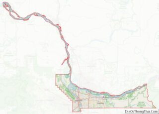
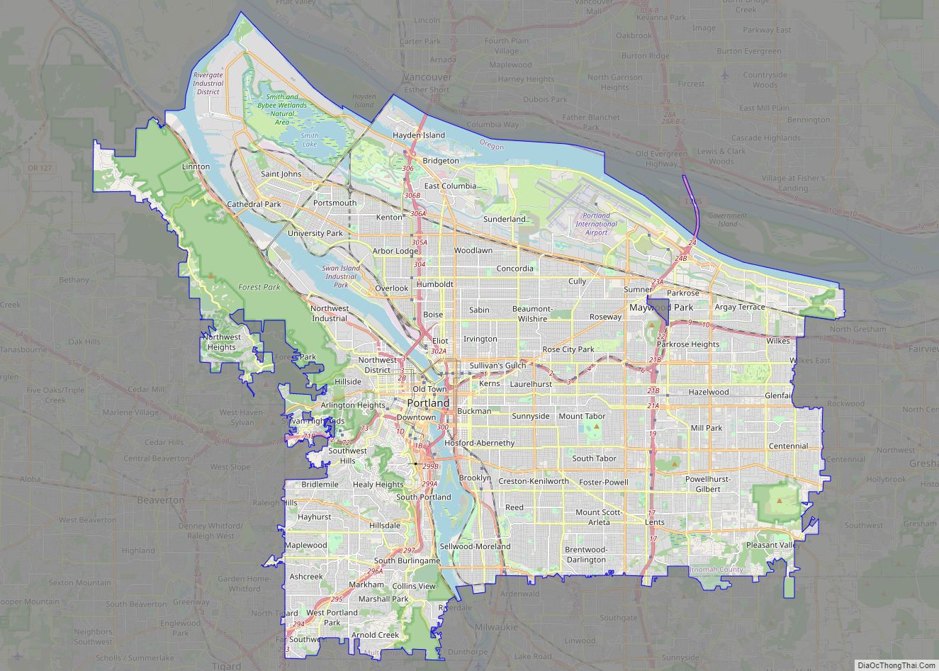
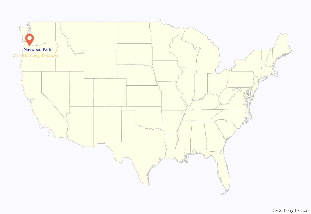
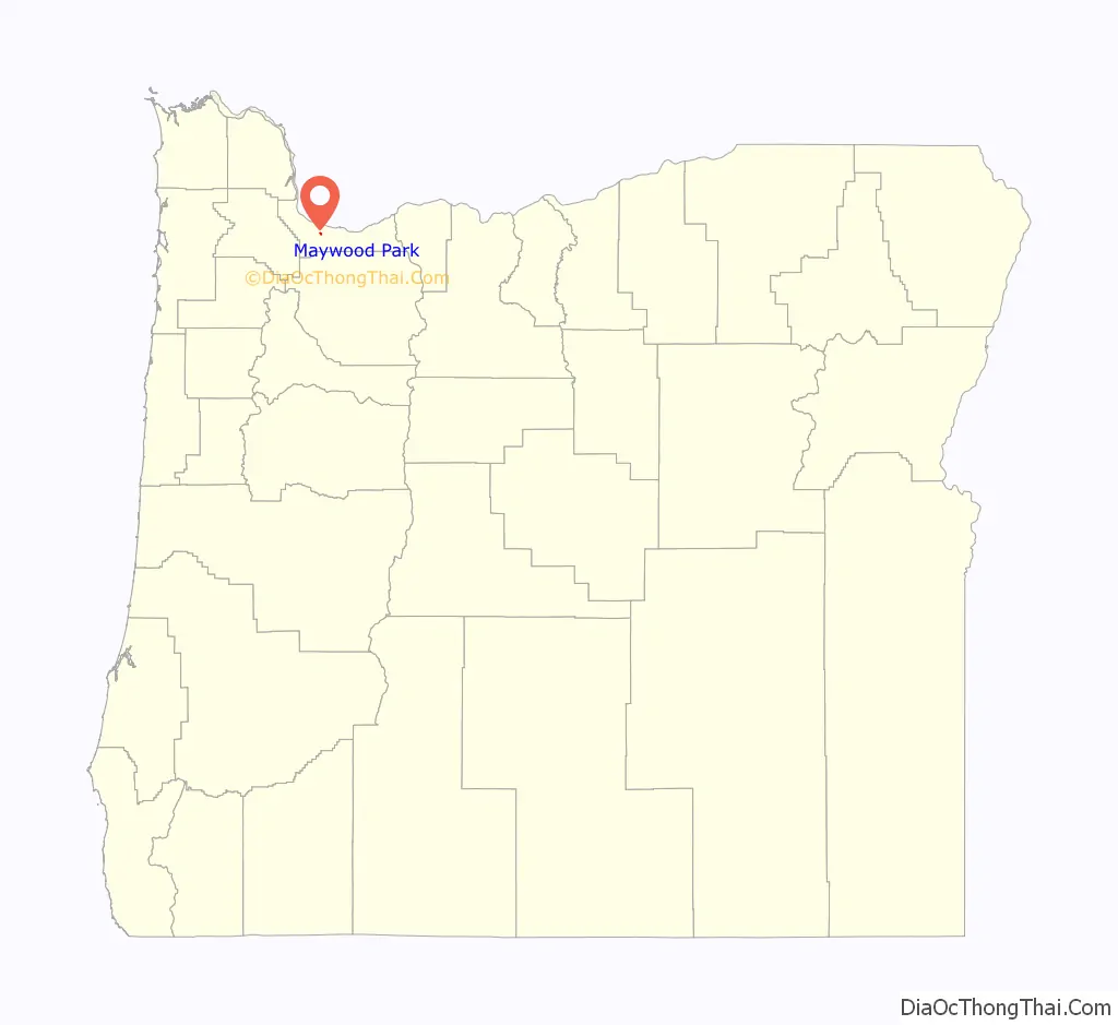
Maywood Park location map. Where is Maywood Park city?
History
In 1926, Columbia Realty purchased the triangular plot of land on which Maywood Park stands. The parcel was later purchased by Commonwealth Inc., which made plans to create a subdivision modeled after the Laurelhurst and Eastmoreland neighborhoods of Portland. Although the Great Depression delayed development of the land, construction was largely completed by 1943 with about 400 homes. Maywood Park was so large it crossed over where I-205 is today.
In 1967, the residents of Maywood Park voted to incorporate as a city in an attempt to prevent Interstate 205 from cutting through the neighborhood. Although the effort was ultimately unsuccessful, resulting in the loss of 82 homes on the west side, Maywood Park was able to gain noise reduction concessions from the construction of I-205. Specifically, I-205 is built below grade as it passes by Maywood Park, and a sound wall and green belt provide further noise reduction.
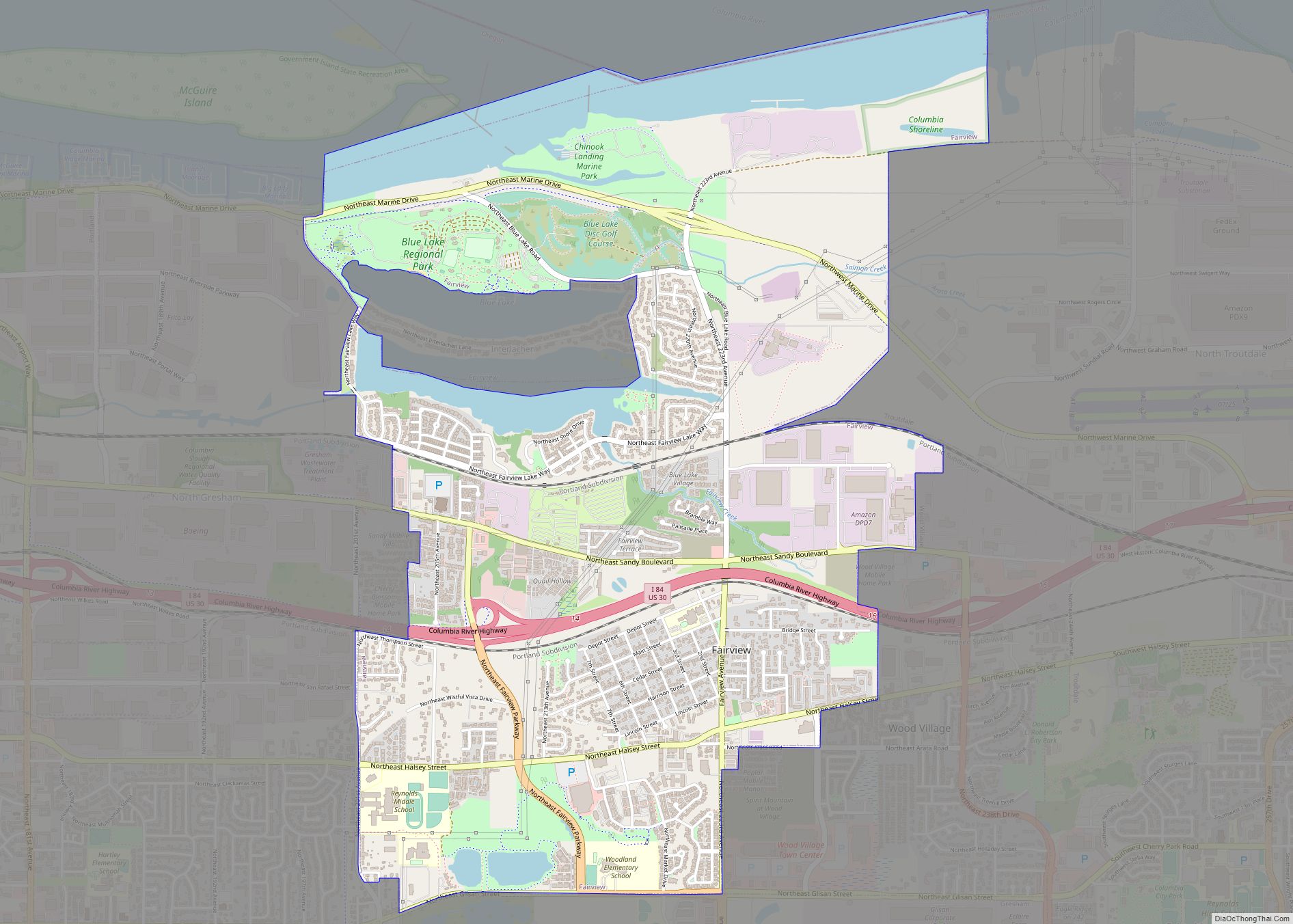
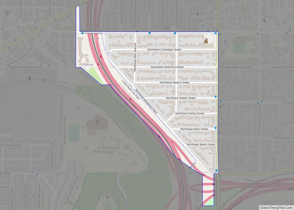
Maywood Park Road Map
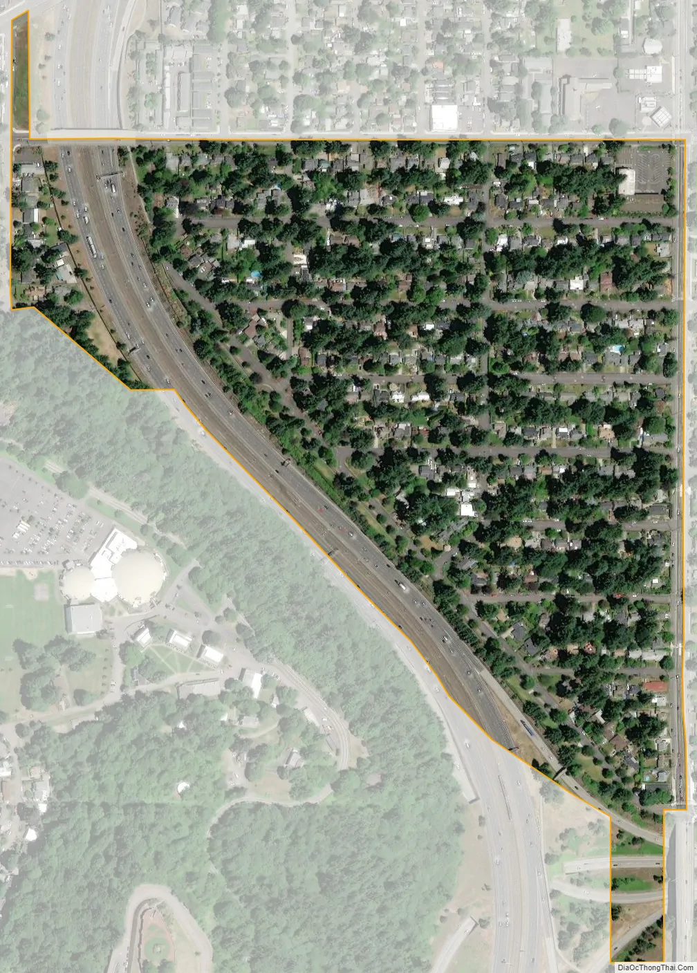
Maywood Park city Satellite Map
Geography
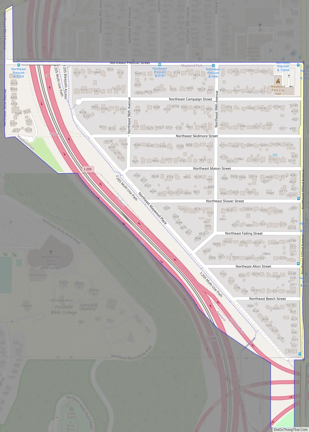
According to the United States Census Bureau, the city has a total area of 0.17 square miles (0.44 km), all of it land. The city is contained in a trapezoid bordered by NE Prescott Street to the north, NE 102nd Avenue to the east, I-205 to the south, and NE 92nd Avenue (across I-205) to the west, plus the eastern side of 92nd Avenue to Sandy Boulevard.
See also
Map of Oregon State and its subdivision: Map of other states:- Alabama
- Alaska
- Arizona
- Arkansas
- California
- Colorado
- Connecticut
- Delaware
- District of Columbia
- Florida
- Georgia
- Hawaii
- Idaho
- Illinois
- Indiana
- Iowa
- Kansas
- Kentucky
- Louisiana
- Maine
- Maryland
- Massachusetts
- Michigan
- Minnesota
- Mississippi
- Missouri
- Montana
- Nebraska
- Nevada
- New Hampshire
- New Jersey
- New Mexico
- New York
- North Carolina
- North Dakota
- Ohio
- Oklahoma
- Oregon
- Pennsylvania
- Rhode Island
- South Carolina
- South Dakota
- Tennessee
- Texas
- Utah
- Vermont
- Virginia
- Washington
- West Virginia
- Wisconsin
- Wyoming