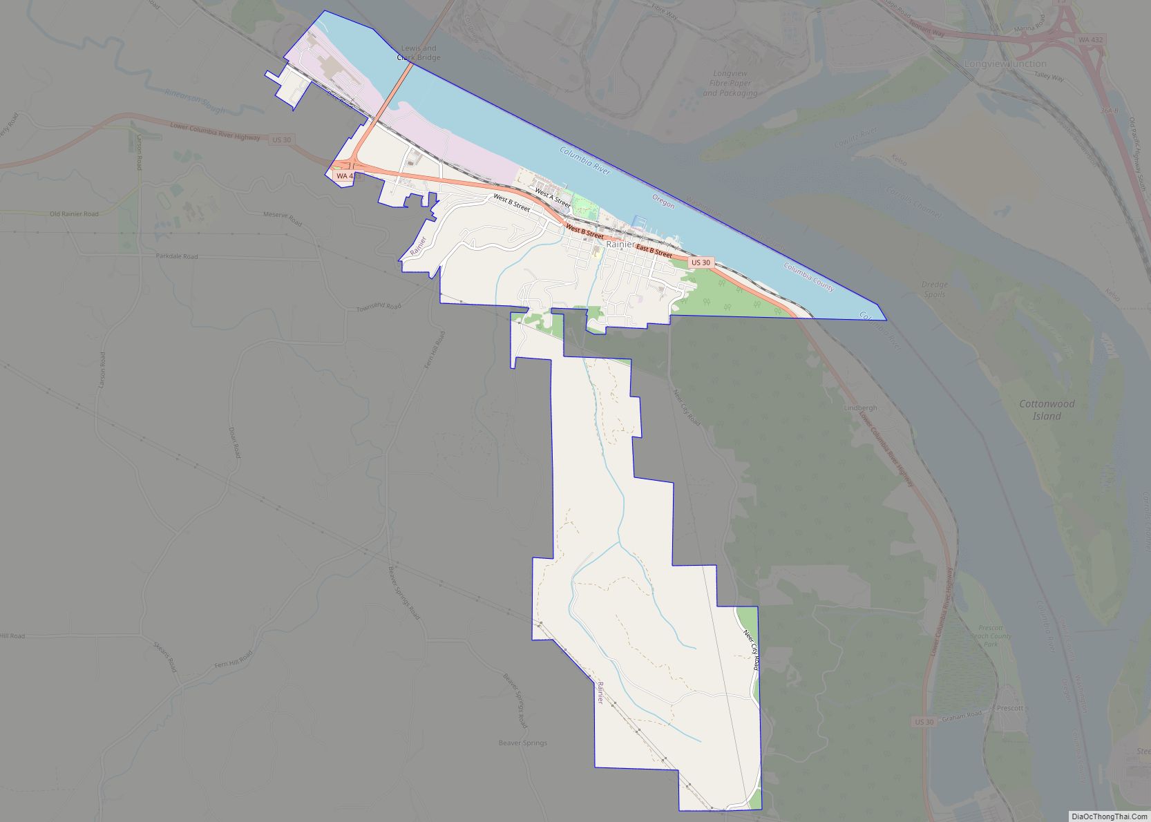
Rainier (/reɪˈnɪər/ ray-NEER) is a city in Columbia County, Oregon, United States. The city’s population was 1,895 at the 2010 census. Rainier is on the south bank of the Columbia River across from Kelso and Longview, Washington.
| Name: | Rainier city |
|---|---|
| LSAD Code: | 25 |
| LSAD Description: | city (suffix) |
| State: | Oregon |
| County: | Columbia County |
| Incorporated: | 1885 |
| Elevation: | 51 ft (15.5 m) |
| Total Area: | 4.95 sq mi (12.81 km²) |
| Land Area: | 4.08 sq mi (10.57 km²) |
| Water Area: | 0.86 sq mi (2.24 km²) |
| Total Population: | 1,911 |
| Population Density: | 468.27/sq mi (180.79/km²) |
| ZIP code: | 97048 |
| Area code: | 503 and 971 |
| FIPS code: | 4160850 |
| GNISfeature ID: | 1125788 |
| Website: | cityofrainier.com |
Online Interactive Map
Click on ![]() to view map in "full screen" mode.
to view map in "full screen" mode.
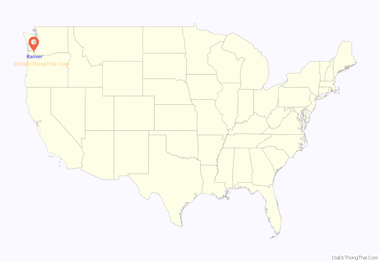
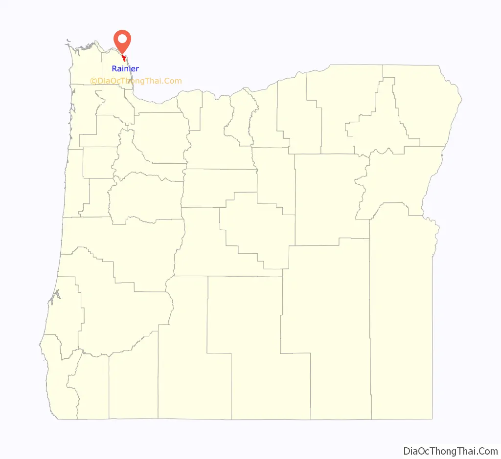
Rainier location map. Where is Rainier city?
History
Rainier was founded in 1851 on the south bank of the Columbia River by Charles E. Fox, the town’s first postman. First called Eminence, its name was later changed to Fox’s Landing and finally to Rainier. The name Rainier was taken from Mount Rainier in Washington, which can be seen from hills above the city. Rainier was incorporated in 1881.
For much of the last quarter of the twentieth century, Rainier was known to the rest of Oregon as home to Trojan Nuclear Power Plant, the only commercial nuclear reactor in the state, which supplied electricity to Portland and its suburbs starting in March 1976. The reactor was closed periodically due to structural problems, and in January 1993, it was decommissioned after cracks developed in the steam tubes. On May 21, 2006, the cooling tower was demolished.
The closing of the Trojan plant precipitated a decline in the number of businesses in the city. While some retail and services are available in the city, currently the only supermarket in the city is a Grocery Outlet. Services are available in neighboring Clatskanie, St. Helens, and in Longview, Washington. Longview is opposite Rainier, across the Columbia River, and connected to Rainier by the Lewis and Clark Bridge.
Rainier Road Map
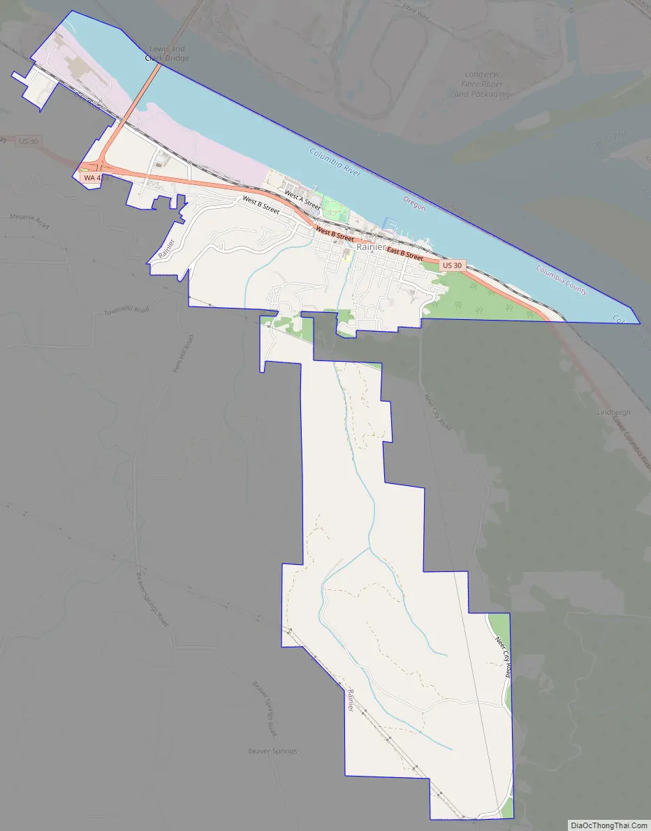
Rainier city Satellite Map
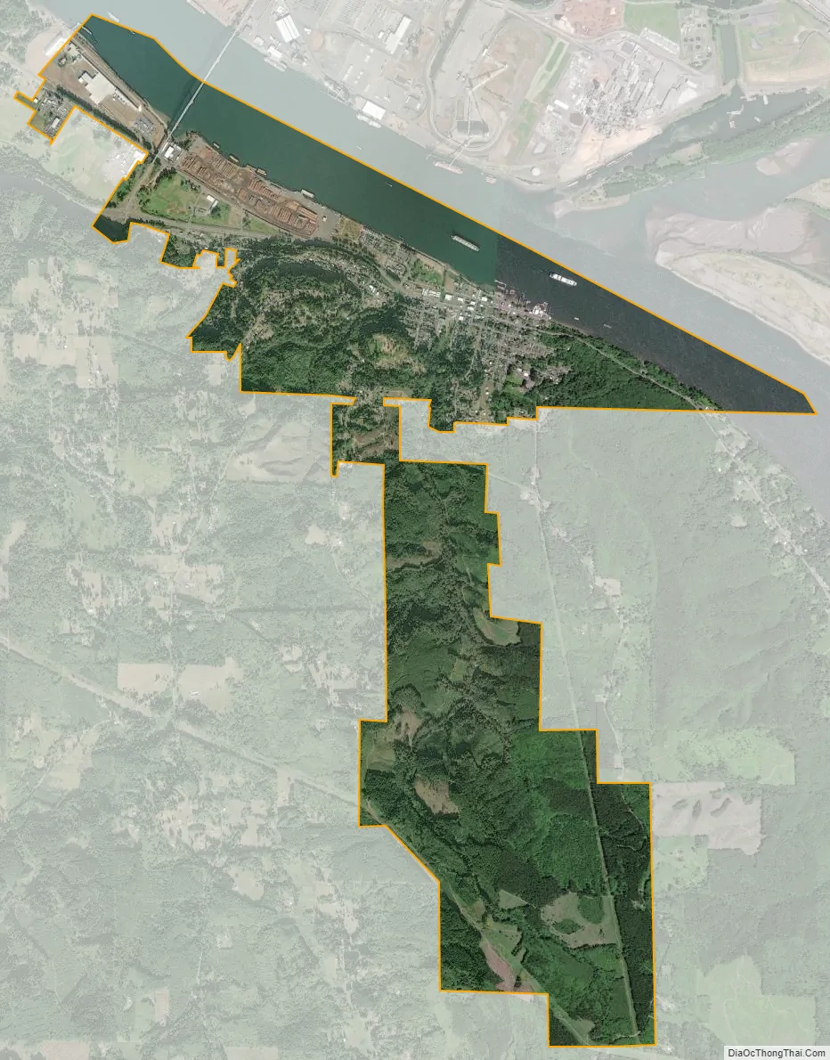
Geography
According to the United States Census Bureau, the city has a total area of 2.62 square miles (6.79 km), of which 1.76 square miles (4.56 km) is land and 0.86 square miles (2.23 km) is water.
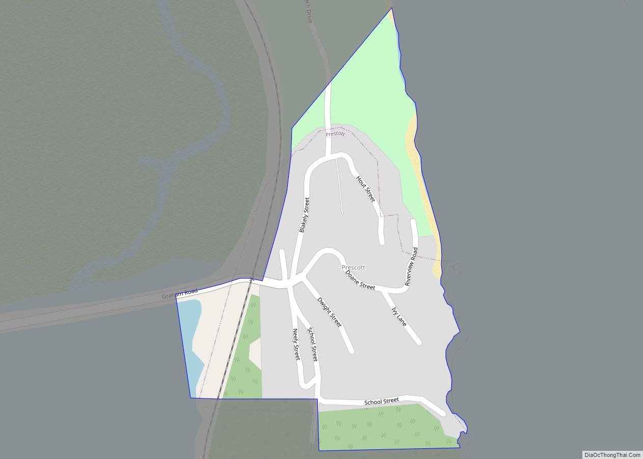
Rainier is surrounded by a number of rural communities. In the past, these places acted as separate communities. Today, most businesses and services have left these rural sites, and the communities are part of a large unincorporated area that receive services out of Rainier. These communities include Fern Hill, Hudson, Alston, Apiary, Goble, and Prescott. Except for Prescott, which is an incorporated city (despite having neither a post office nor a separate telephone exchange), little remains to identify these places today other than leftover identifying signs or historic landmarks, such as abandoned or converted school buildings. Residents here may say they live in Rainier or will alternatively use the name of the individual community.
The Lewis and Clark Bridge spans the Columbia River, linking Rainier to Longview, Washington. It is the only bridge, that spans the entire width of the river, between Portland and Astoria, Oregon.
See also
Map of Oregon State and its subdivision: Map of other states:- Alabama
- Alaska
- Arizona
- Arkansas
- California
- Colorado
- Connecticut
- Delaware
- District of Columbia
- Florida
- Georgia
- Hawaii
- Idaho
- Illinois
- Indiana
- Iowa
- Kansas
- Kentucky
- Louisiana
- Maine
- Maryland
- Massachusetts
- Michigan
- Minnesota
- Mississippi
- Missouri
- Montana
- Nebraska
- Nevada
- New Hampshire
- New Jersey
- New Mexico
- New York
- North Carolina
- North Dakota
- Ohio
- Oklahoma
- Oregon
- Pennsylvania
- Rhode Island
- South Carolina
- South Dakota
- Tennessee
- Texas
- Utah
- Vermont
- Virginia
- Washington
- West Virginia
- Wisconsin
- Wyoming