Rogue River is a city in Jackson County, Oregon, United States. As of the 2020 census the population was 2,407.
| Name: | Rogue River city |
|---|---|
| LSAD Code: | 25 |
| LSAD Description: | city (suffix) |
| State: | Oregon |
| County: | Jackson County |
| Incorporated: | 1912 |
| Elevation: | 1,004 ft (306 m) |
| Total Area: | 0.96 sq mi (2.50 km²) |
| Land Area: | 0.96 sq mi (2.50 km²) |
| Water Area: | 0.00 sq mi (0.00 km²) |
| Total Population: | 2,407 |
| Population Density: | 2,494.30/sq mi (963.54/km²) |
| ZIP code: | 97537 |
| Area code: | 541 |
| FIPS code: | 4163450 |
| GNISfeature ID: | 1166706 |
| Website: | www.cityofrogueriver.org |
Online Interactive Map
Click on ![]() to view map in "full screen" mode.
to view map in "full screen" mode.
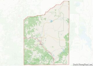
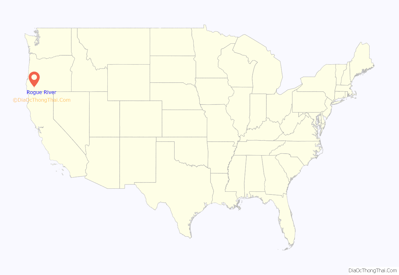
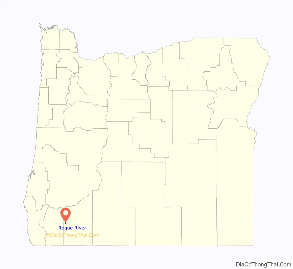
Rogue River location map. Where is Rogue River city?
History
The settlement was known as “Woodville” for many years, but was changed to “Rogue River” about 1912. The Woodville post office operated from 1876 until 1912, when the name was changed to Rogue River.
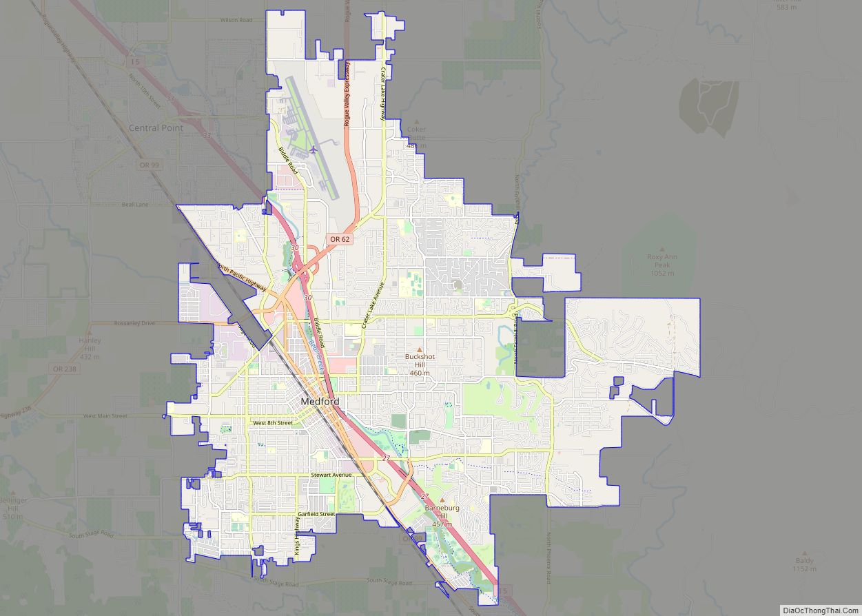
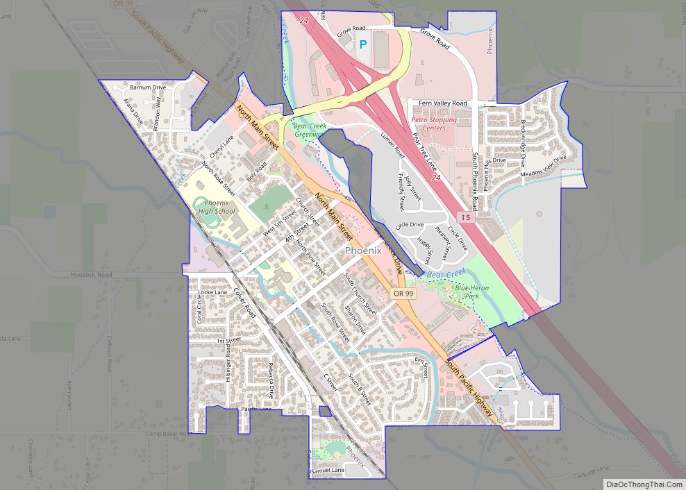
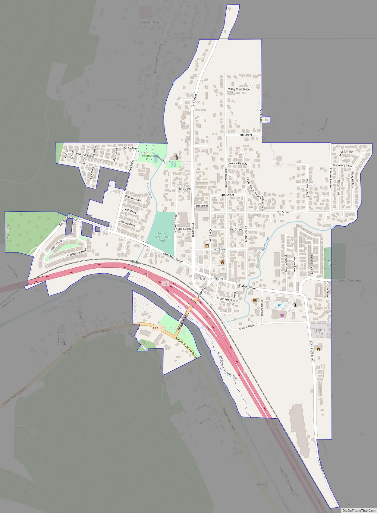
Rogue River Road Map
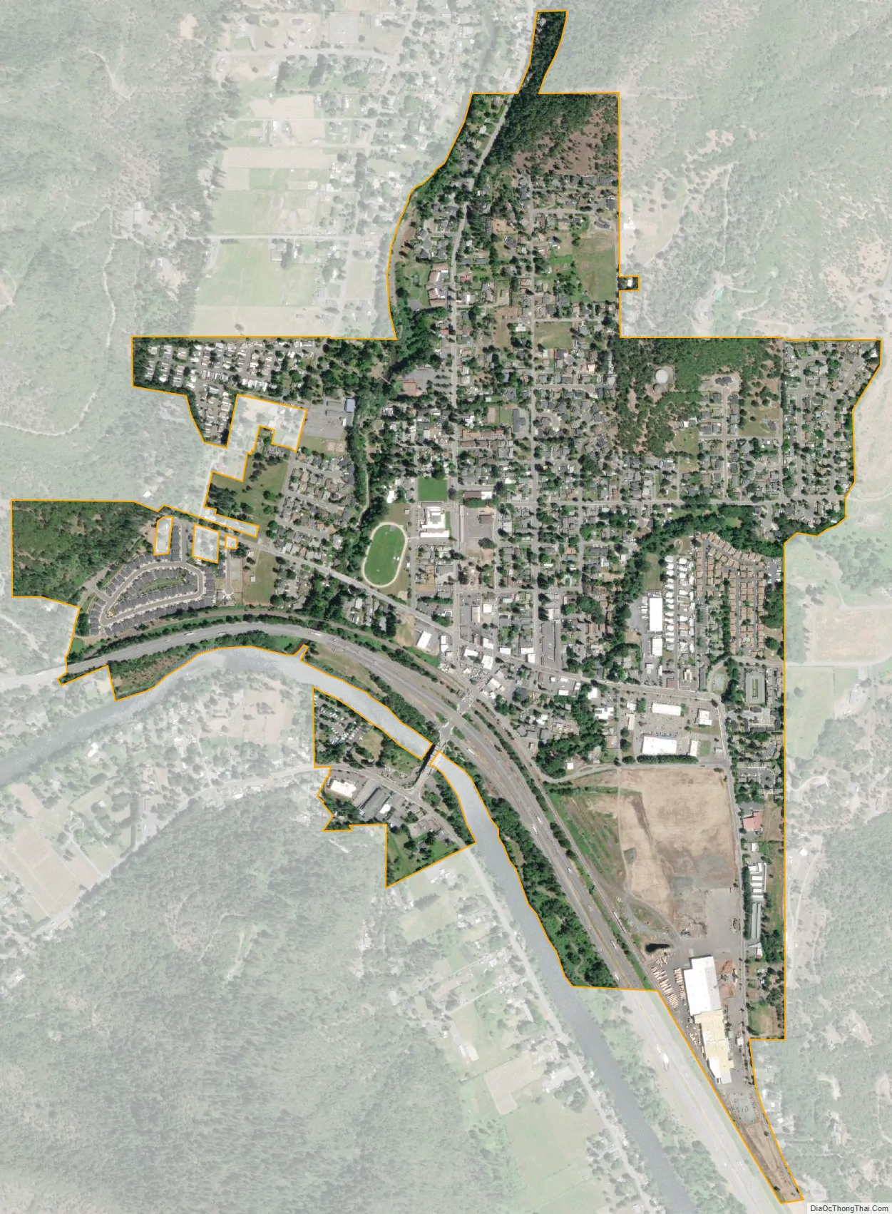
Rogue River city Satellite Map
Geography
The city of Rogue River is in western Jackson County, on the north side of the Rogue River. Interstate 5 passes through the south side of the city, running along the north bank of the river. Access is from Exit 48 (Depot Street). I-5 leads west (northbound) 9 miles (14 km) to Grants Pass and southeast 20 miles (32 km) to Medford, the Jackson county seat.
According to the United States Census Bureau, the city of Rogue River has a total area of 0.97 square miles (2.51 km), all of it land.
See also
Map of Oregon State and its subdivision: Map of other states:- Alabama
- Alaska
- Arizona
- Arkansas
- California
- Colorado
- Connecticut
- Delaware
- District of Columbia
- Florida
- Georgia
- Hawaii
- Idaho
- Illinois
- Indiana
- Iowa
- Kansas
- Kentucky
- Louisiana
- Maine
- Maryland
- Massachusetts
- Michigan
- Minnesota
- Mississippi
- Missouri
- Montana
- Nebraska
- Nevada
- New Hampshire
- New Jersey
- New Mexico
- New York
- North Carolina
- North Dakota
- Ohio
- Oklahoma
- Oregon
- Pennsylvania
- Rhode Island
- South Carolina
- South Dakota
- Tennessee
- Texas
- Utah
- Vermont
- Virginia
- Washington
- West Virginia
- Wisconsin
- Wyoming