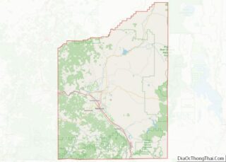
Ruch is an unincorporated community and census-designated place (CDP) in Jackson County, Oregon, United States. It is located on Oregon Route 238, southeast of Grants Pass. As of the 2010 census it had a population of 840.
Ruch was named for Casper M. Ruch, who bought a tract of land where the community now stands in 1896. He built a blacksmith shop, a store and a house. When he was appointed postmaster of the new post office in 1897 and allowed to name it, he named it after himself. The post office closed in 1939.
There are two structures listed on the National Register of Historic Places in Ruch—McKee Bridge and Star Ranger Station.
The Ruch area is home to several Oregon wineries and is in the Applegate Valley AVA, a sub-appellation of the Rogue Valley AVA (American Viticultural Area). A small elementary school, Ruch Elementary, is located near the center of the community. The school serves Kindergarten – 8th grade with the Cougars as their mascot.
The Applegate River runs through the southwest edge of the valley.
| Name: | Ruch CDP |
|---|---|
| LSAD Code: | 57 |
| LSAD Description: | CDP (suffix) |
| State: | Oregon |
| County: | Jackson County |
| Elevation: | 1,527 ft (465 m) |
| Total Area: | 6.74 sq mi (17.44 km²) |
| Land Area: | 6.74 sq mi (17.44 km²) |
| Water Area: | 0.00 sq mi (0.00 km²) |
| Total Population: | 819 |
| Population Density: | 121.60/sq mi (46.95/km²) |
| ZIP code: | 97530 |
| Area code: | 458 and 541 |
| FIPS code: | 4164150 |
| GNISfeature ID: | 1148830 |
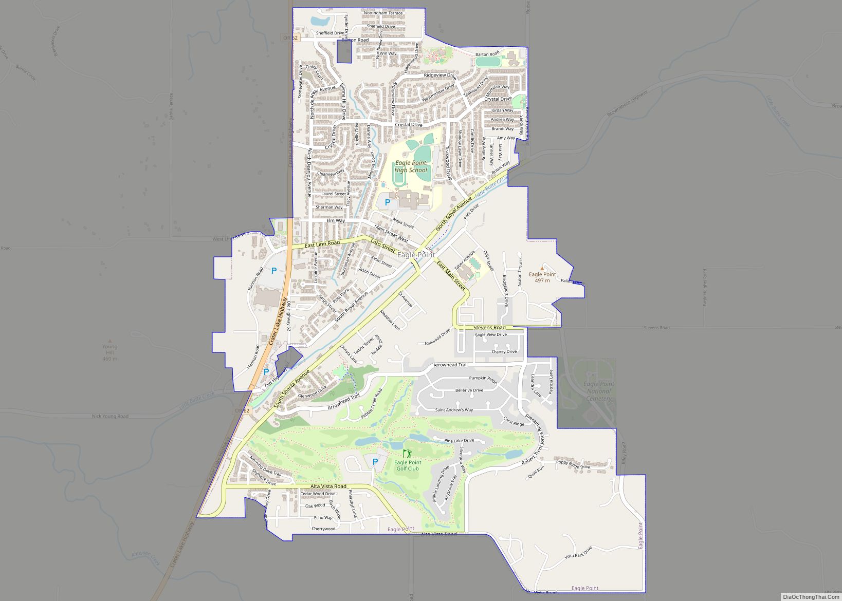
Online Interactive Map
Click on ![]() to view map in "full screen" mode.
to view map in "full screen" mode.
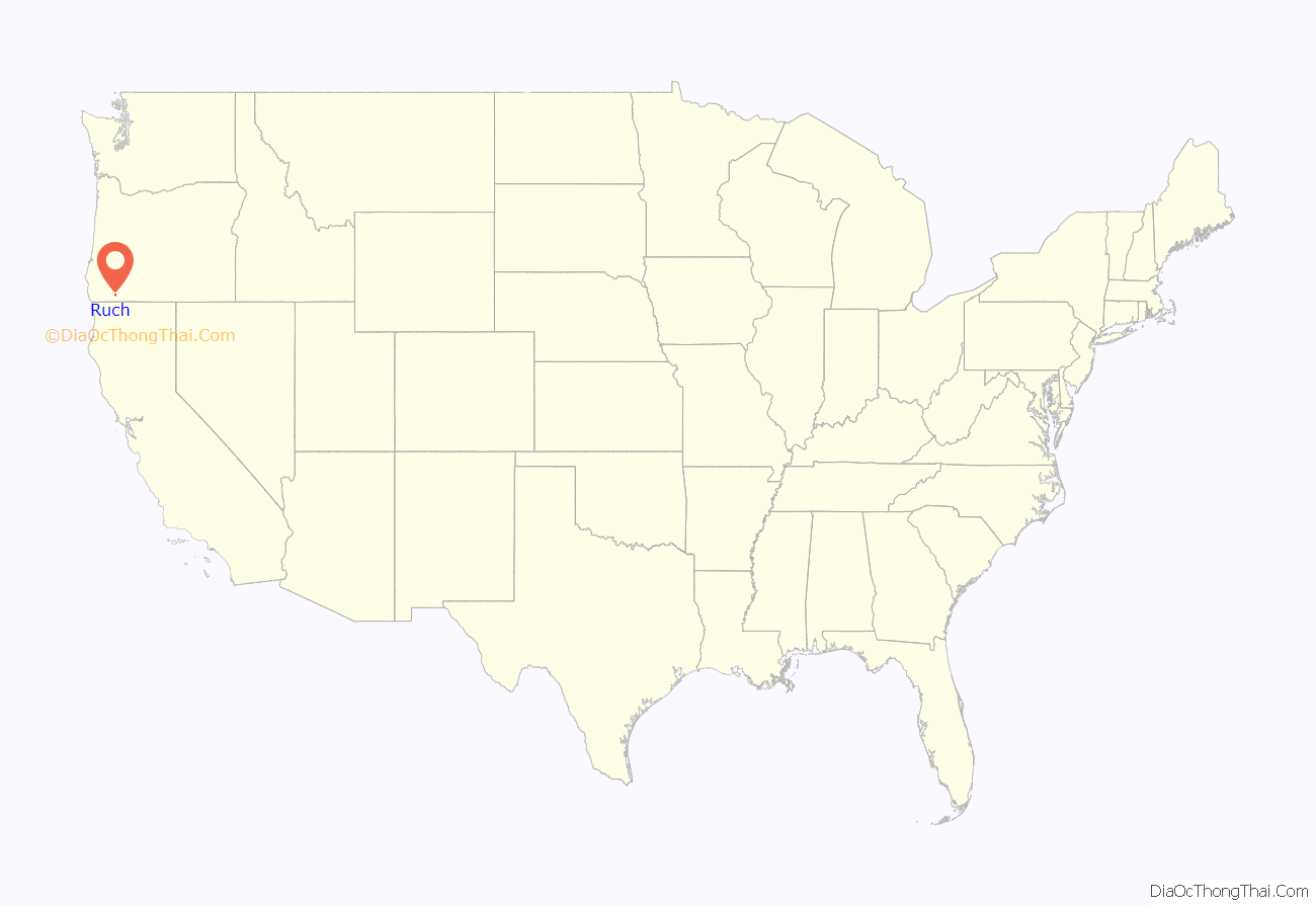
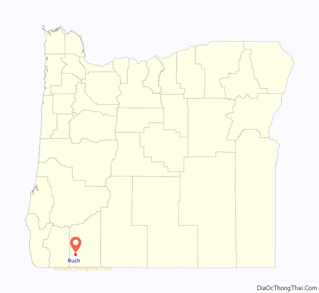
Ruch location map. Where is Ruch CDP?
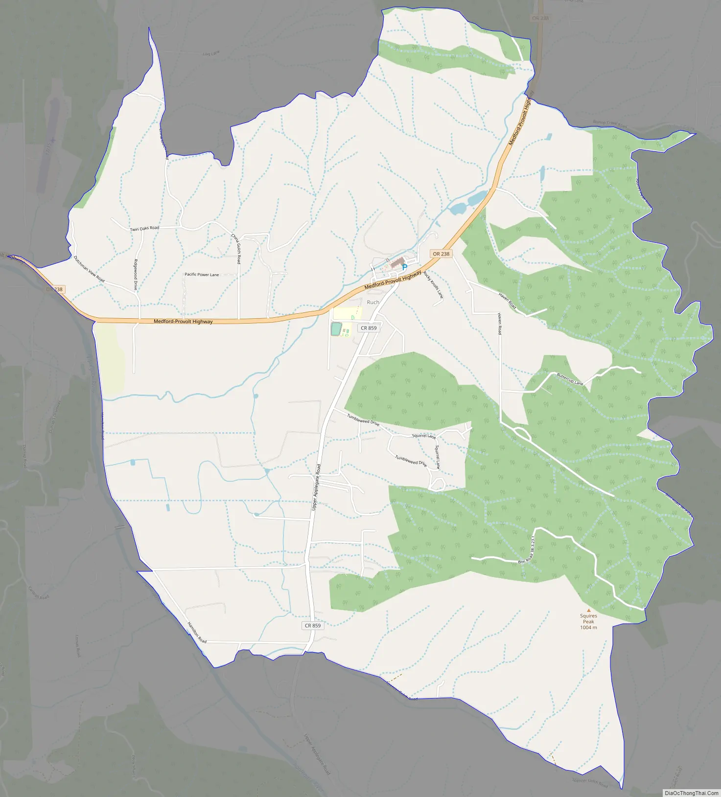
Ruch Road Map
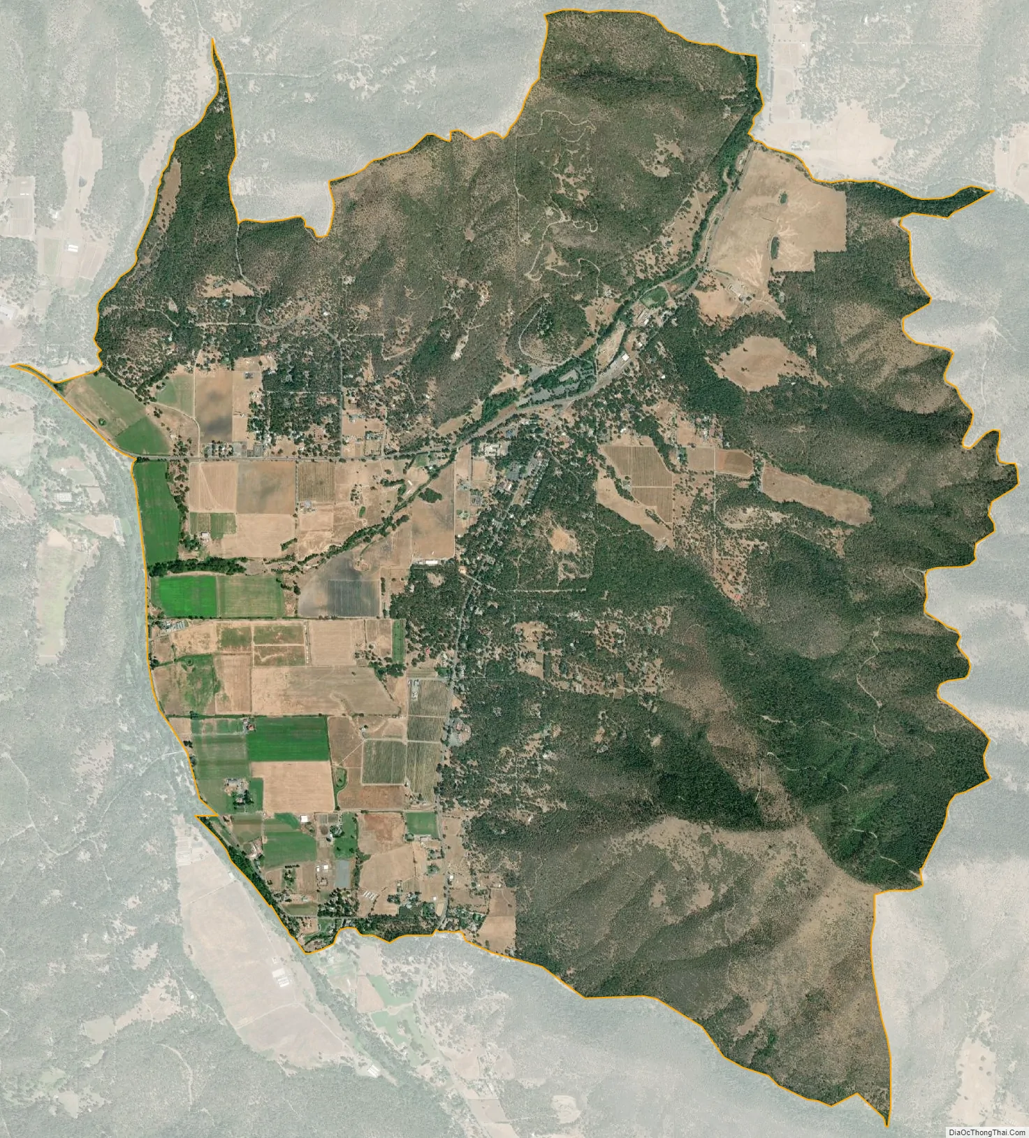
Ruch city Satellite Map
See also
Map of Oregon State and its subdivision: Map of other states:- Alabama
- Alaska
- Arizona
- Arkansas
- California
- Colorado
- Connecticut
- Delaware
- District of Columbia
- Florida
- Georgia
- Hawaii
- Idaho
- Illinois
- Indiana
- Iowa
- Kansas
- Kentucky
- Louisiana
- Maine
- Maryland
- Massachusetts
- Michigan
- Minnesota
- Mississippi
- Missouri
- Montana
- Nebraska
- Nevada
- New Hampshire
- New Jersey
- New Mexico
- New York
- North Carolina
- North Dakota
- Ohio
- Oklahoma
- Oregon
- Pennsylvania
- Rhode Island
- South Carolina
- South Dakota
- Tennessee
- Texas
- Utah
- Vermont
- Virginia
- Washington
- West Virginia
- Wisconsin
- Wyoming