Ukiah (/juːkaɪʌ/) is a city in Umatilla County, Oregon, United States. The population was 186 at the 2010 census. It is part of the Hermiston-Pendleton Micropolitan Statistical Area. It was named by an early settler after the town of Ukiah, California.
Ukiah is tied with Seneca, in Grant County, for the coldest official temperature in Oregon. Ukiah dropped to −54 °F (−48 °C) on February 9, 1933, during a major cold snap across Siberia and North America. On February 10, Seneca also hit −54 °F, so the National Weather Service gives Seneca the record because it had the most recent occurrence of that temperature.
| Name: | Ukiah city |
|---|---|
| LSAD Code: | 25 |
| LSAD Description: | city (suffix) |
| State: | Oregon |
| County: | Umatilla County |
| Incorporated: | 1969 |
| Elevation: | 3,400 ft (1,000 m) |
| Total Area: | 0.24 sq mi (0.62 km²) |
| Land Area: | 0.24 sq mi (0.62 km²) |
| Water Area: | 0.00 sq mi (0.00 km²) |
| Total Population: | 159 |
| Population Density: | 668.07/sq mi (257.67/km²) |
| ZIP code: | 97880 |
| Area code: | 541 |
| FIPS code: | 4175550 |
| GNISfeature ID: | 1151630 |
| Website: | www.cityofukiahoregon.com |
Online Interactive Map
Click on ![]() to view map in "full screen" mode.
to view map in "full screen" mode.
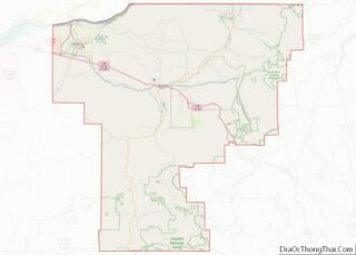
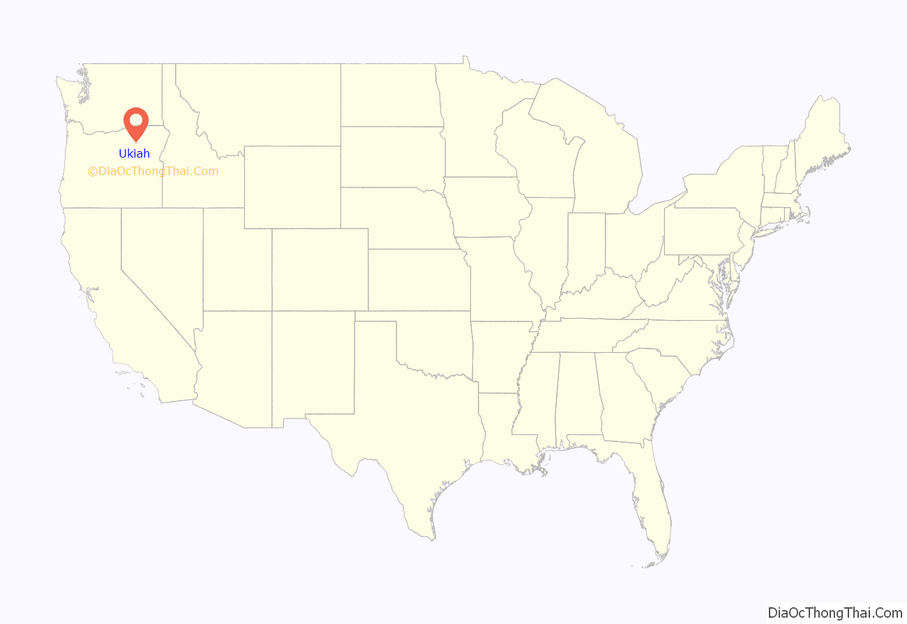
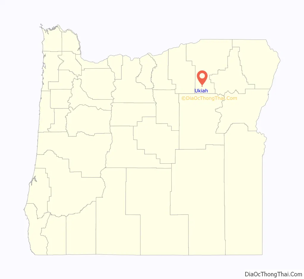
Ukiah location map. Where is Ukiah city?
History
The Camas Land Company platted Ukiah in August 1890. E. B. Gambee, who moved from Ukiah, California, to Oregon in 1881, suggested the name. DeWitt C. Whiting was the first postmaster in Ukiah, where a post office opened in September 1890.
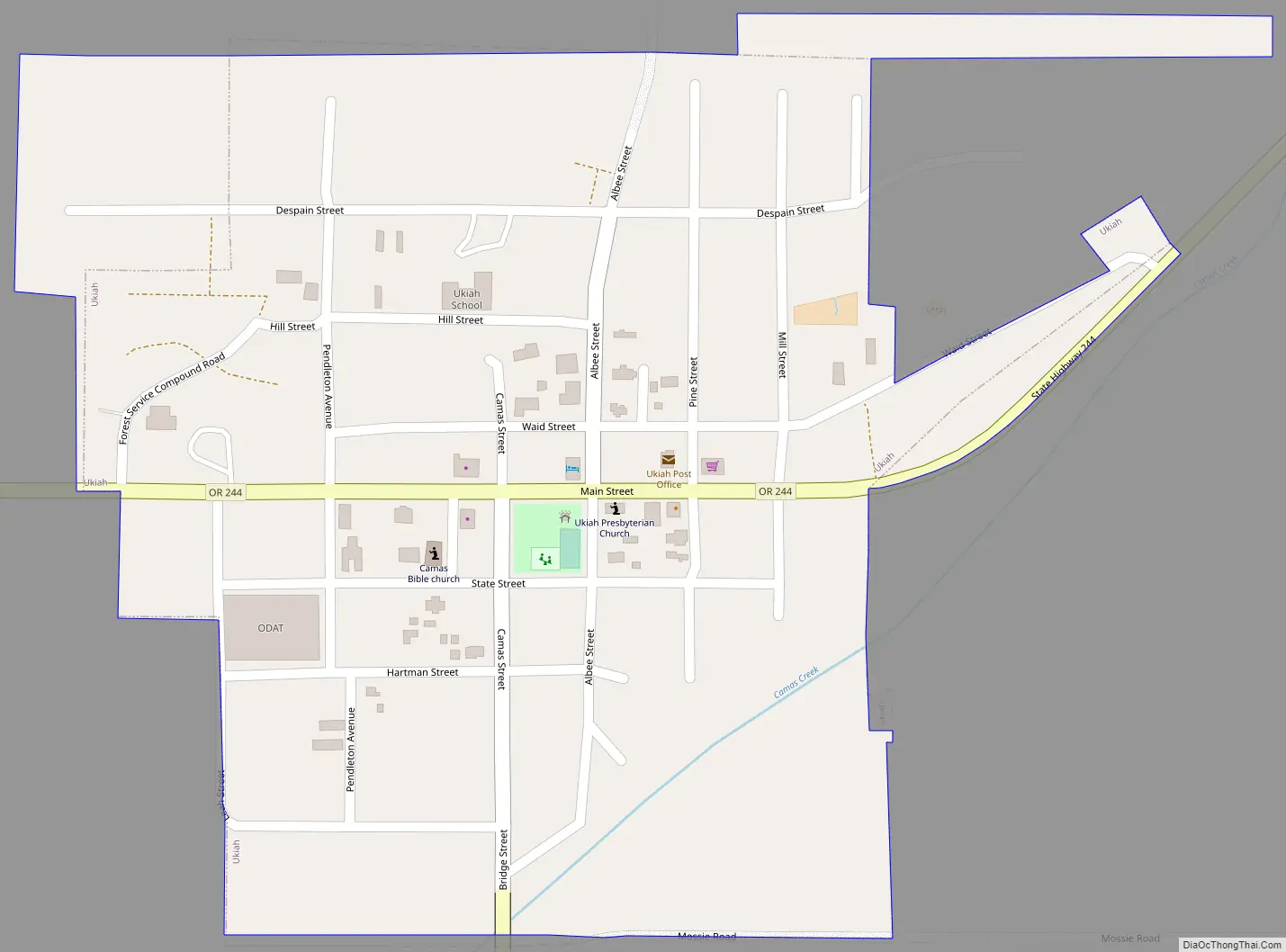
Ukiah Road Map
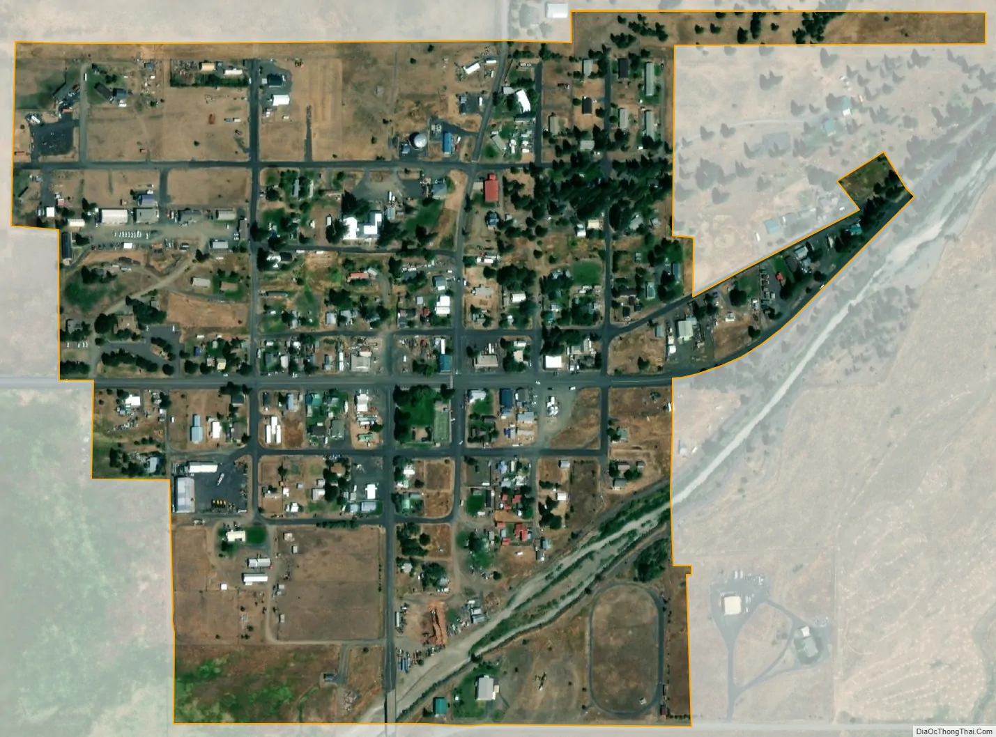
Ukiah city Satellite Map
Geography
Ukiah is in northeastern Oregon at the intersection of U.S. Route 395 and Oregon Route 244. The city is about 45 miles (72 km) south of Pendleton by highway and about 50 miles (80 km) southwest of La Grande. It lies along Camas Creek, which flows west from the Blue Mountains and through the Umatilla National Forest east of the city. Camas Creek is a tributary of the North Fork John Day River.
According to the United States Census Bureau, the city has a total area of 0.24 square miles (0.62 km), all of it land.
See also
Map of Oregon State and its subdivision: Map of other states:- Alabama
- Alaska
- Arizona
- Arkansas
- California
- Colorado
- Connecticut
- Delaware
- District of Columbia
- Florida
- Georgia
- Hawaii
- Idaho
- Illinois
- Indiana
- Iowa
- Kansas
- Kentucky
- Louisiana
- Maine
- Maryland
- Massachusetts
- Michigan
- Minnesota
- Mississippi
- Missouri
- Montana
- Nebraska
- Nevada
- New Hampshire
- New Jersey
- New Mexico
- New York
- North Carolina
- North Dakota
- Ohio
- Oklahoma
- Oregon
- Pennsylvania
- Rhode Island
- South Carolina
- South Dakota
- Tennessee
- Texas
- Utah
- Vermont
- Virginia
- Washington
- West Virginia
- Wisconsin
- Wyoming