Weston is a city in Umatilla County, Oregon, United States. It was originally a post office called Mitchell’s Station, established in February 1867. In September 1869, T.T. Lieuallen renamed the post office after his hometown, Weston, Missouri. The population was 667 at the 2010 census. It is part of the Pendleton–Hermiston Micropolitan Statistical Area.
| Name: | Weston city |
|---|---|
| LSAD Code: | 25 |
| LSAD Description: | city (suffix) |
| State: | Oregon |
| County: | Umatilla County |
| Incorporated: | 1878 |
| Elevation: | 1,796 ft (547 m) |
| Total Area: | 0.68 sq mi (1.76 km²) |
| Land Area: | 0.68 sq mi (1.76 km²) |
| Water Area: | 0.00 sq mi (0.00 km²) |
| Total Population: | 706 |
| Population Density: | 1,038.24/sq mi (400.92/km²) |
| ZIP code: | 97886 |
| Area code: | 541 |
| FIPS code: | 4180350 |
| GNISfeature ID: | 1128919 |
Online Interactive Map
Click on ![]() to view map in "full screen" mode.
to view map in "full screen" mode.
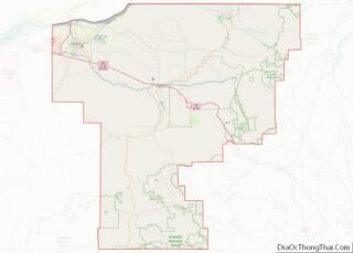
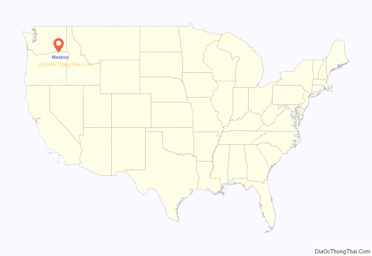
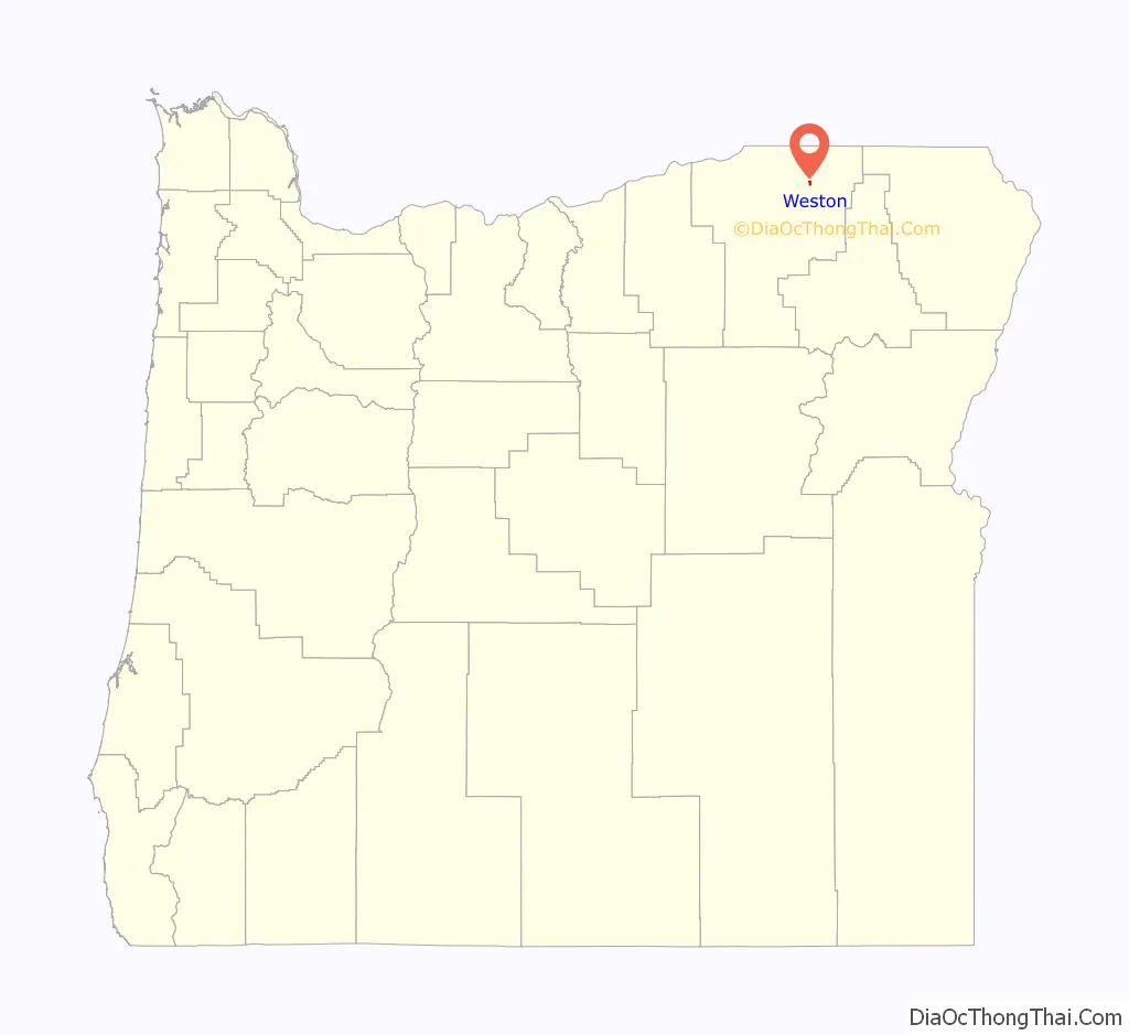
Weston location map. Where is Weston city?
History
Weston was incorporated by the Oregon Legislative Assembly on October 19, 1878.
Weston is best known for its connection with novelist Nard Jones (1904–1972), who lived in the city with his parents between 1919 and 1927, and whose first novel Oregon Detour was set in an Oregon town of 600 inhabitants called “Creston”. When his novel, written according to the tenets of the New Realism literary movement (established years before by Sherwood Anderson, Sinclair Lewis and others) was published in 1930, many of the residents were convinced that his characters were based on local inhabitants, and considered the work a slander against the town. While the legend that Jones was sued and ran out of town for his book is not true, members of the town made an effort to locally suppress access to the book: copies of the novel were stolen from the local library; after the novel became the subject for a high school student’s book report, his English teacher removed the book from both the reading list and the high school library. According to George Venn, local literary historian, even in the 1980s, “trying to figure out or trying to remember who the ‘real people’ in the novel is still a local pastime.”
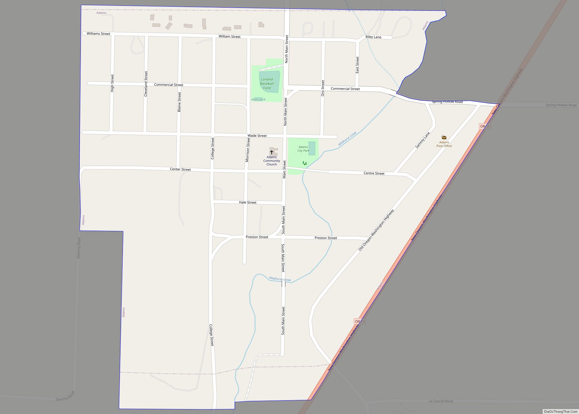
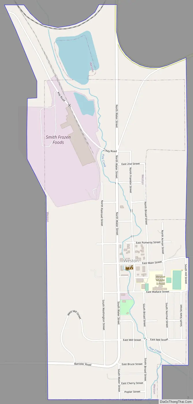
Weston Road Map
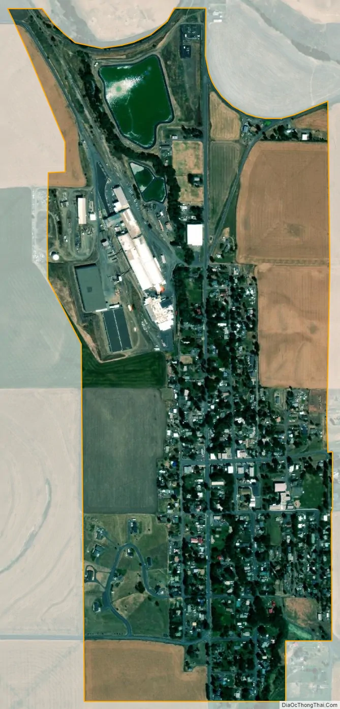
Weston city Satellite Map
Geography
According to the United States Census Bureau, the city has a total area of 0.68 square miles (1.76 km), all of it land. Weston is located at the foot of the Blue Mountains, on Pine Creek.
Climate
This region experiences warm (but not hot) and dry summers, with no average monthly temperatures above 69 °F (21 °C). According to the Köppen Climate Classification system, Weston has a warm-summer Mediterranean climate, abbreviated “Csb” on climate maps.
See also
Map of Oregon State and its subdivision: Map of other states:- Alabama
- Alaska
- Arizona
- Arkansas
- California
- Colorado
- Connecticut
- Delaware
- District of Columbia
- Florida
- Georgia
- Hawaii
- Idaho
- Illinois
- Indiana
- Iowa
- Kansas
- Kentucky
- Louisiana
- Maine
- Maryland
- Massachusetts
- Michigan
- Minnesota
- Mississippi
- Missouri
- Montana
- Nebraska
- Nevada
- New Hampshire
- New Jersey
- New Mexico
- New York
- North Carolina
- North Dakota
- Ohio
- Oklahoma
- Oregon
- Pennsylvania
- Rhode Island
- South Carolina
- South Dakota
- Tennessee
- Texas
- Utah
- Vermont
- Virginia
- Washington
- West Virginia
- Wisconsin
- Wyoming